| RSS | EN | DE | EL | ES | FR | IT | RU

Ngauruhoe Volcano

Updated: Oct 29, 2025 08:30 GMT -
Stratovolcano
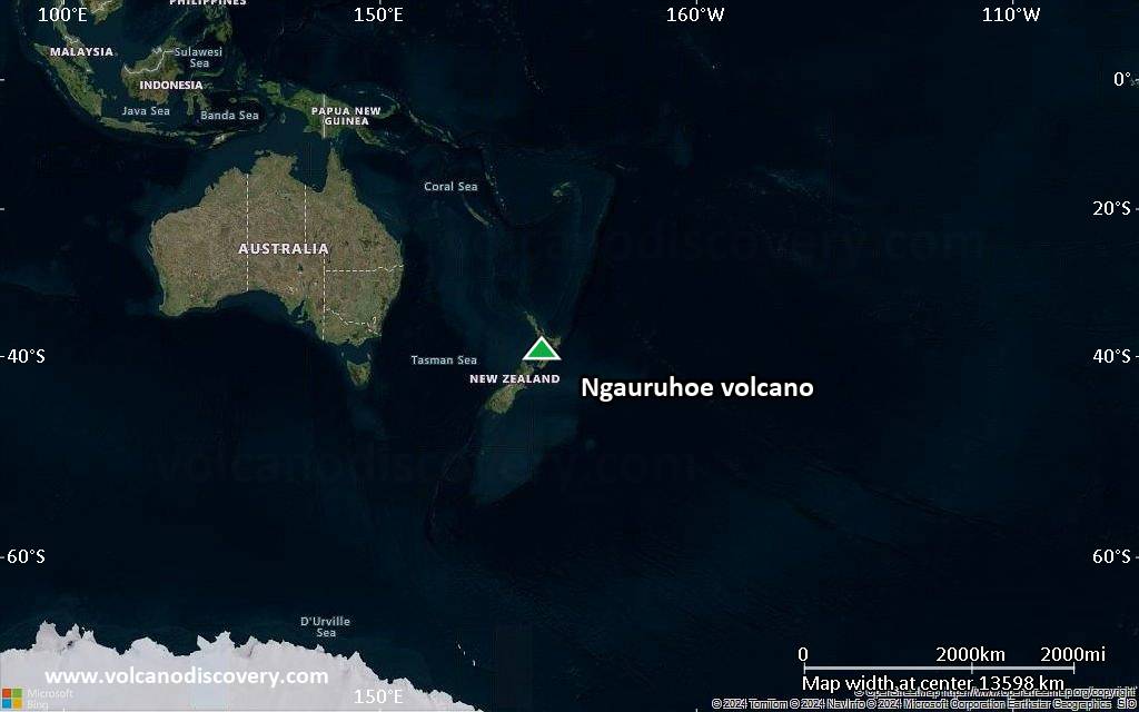
North Island (New Zealand), -39.13°S / 175.64°E
Summit height: 1978 m (6,489 ft)
Current status: normal or dormant (1 out of 5)
Last update: 24 Apr 2015
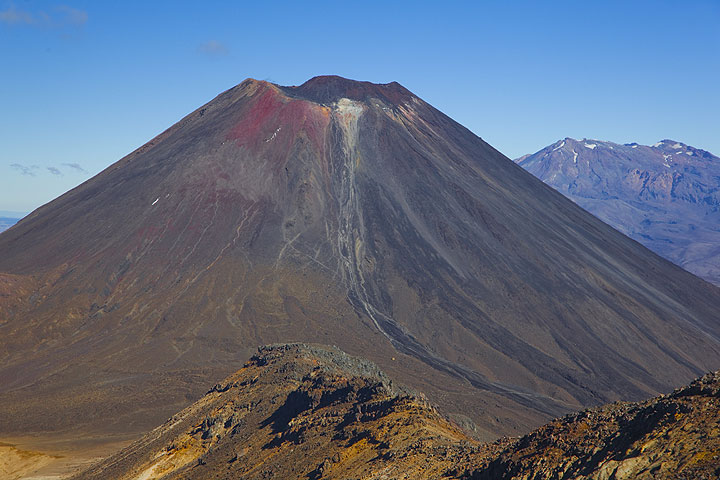
Ngauruhoe volcano seen from Tongariro; Ruhapehu volcano in the background.

Ngauruhoe (pronouned "Nauruhó"), a steep 600 m tall stratovolcano 17 km NNE of Ruhapehu volcano, is the main vent of Tongariro volcano and one of New Zealand's most active volcanoes. Its last eruptive phase in 1975-77 produced violent ash explosions, lava fountains and pyroclastic flows. In its recent past, Ngauruhoe has been erupting around every 10 years and the time lapsed since then makes this the longest repose interval known in its recorded history.

[smaller] [larger]
Typical eruption style: Explosive
Ngauruhoe volcano eruptions: 1975-77, 1972, 1968-69, 1962, 1958-59, 1956, 1948-54, 1939-40, 1937, 1934, 1931, 1924-28, 1917, 1913-14, 1909-10, 1904-07, 1897-98, 1892, 1883, 1881, 1878, 1875, 1869-70, 1862-64, 1857, 1844, 1841, 1839, 550 BC ± 200

Latest nearby earthquakes

Date and TimeMag / DepthDistance / Location
Oct 29, 08:57 pm (Auckland)
2.7

86 km
20 km (12 mi) to the SE New Zealand Info
Sunday, October 26, 2025 GMT (2 quakes)
Oct 27, 12:39 am (Auckland)
2.1

3.7 km
1 km (0.6 mi) to the E New Zealand Info
Oct 26, 07:27 pm (GMT +13)
0.6

80 km
16 km (9.9 mi) to the S New Zealand Info
Wednesday, October 22, 2025 GMT (3 quakes)
Oct 23, 05:19 am (Auckland)
1.4

6.2 km
19 km (12 mi) to the NE New Zealand Info
Oct 23, 05:00 am (GMT +13)
0.8

4.2 km
0.8 km (0.5 mi) to the E New Zealand Info
Oct 22, 05:27 pm (Auckland)
1.6

72 km
12 km (7.2 mi) to the SW New Zealand Info
Saturday, October 18, 2025 GMT (2 quakes)
Oct 19, 07:21 am (GMT +13)
0.8

4.5 km
16 km (10.2 mi) to the SW New Zealand Info
Oct 18, 04:38 pm (Auckland)
1.2

5 km
23 km (14 mi) to the SW New Zealand Info
Friday, October 17, 2025 GMT (1 quake)
Oct 18, 08:16 am (Auckland)
1.4

54 km
26 km (16 mi) to the E New Zealand Info

Background

Ngauruhoe is the youngest and most active cone of the large Tongariro volcanic complex, and forms today its highest peak. Ngauruhoe started to grow about 2500 years ago and has been frequently active in historic times.

Eruptions of Ngauruhoe volcano


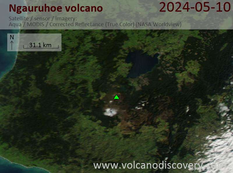
Latest satellite images

Ngauruhoe satellite image sat1Ngauruhoe satellite image sat2

Ngauruhoe Volcano Maps

Below is a selection of maps showing the location and surroundings of the volcano at various resolutions based on aerial-imagery / terrain maps. Feel free to use them for non-commercial purposes on your blog or website as long as you credit them with a link back to this page (click to copy it).
Satellite/aerial-type map of Ngauruhoe volcano (world scale)
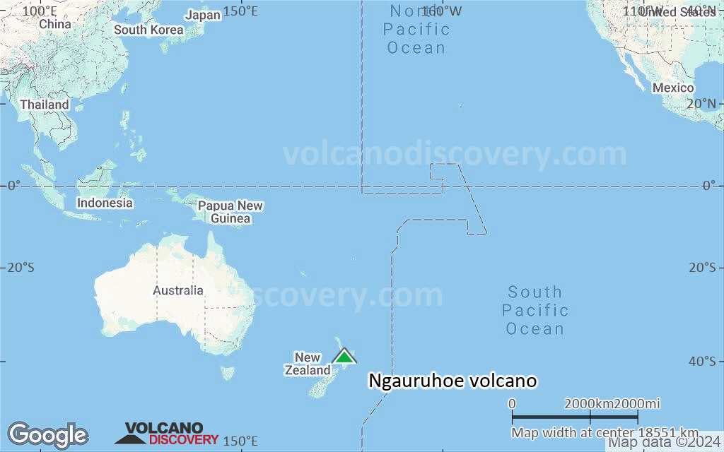
Terrain-type map of Ngauruhoe volcano (world scale)
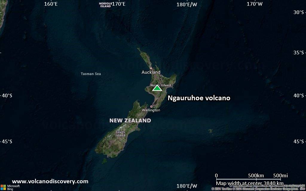
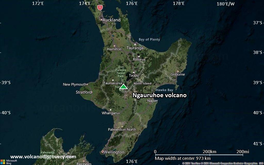
Satellite/aerial-type map of Ngauruhoe volcano (region scale large)
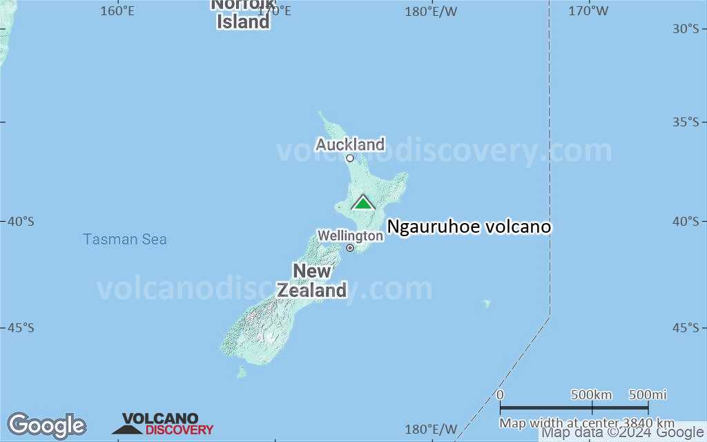
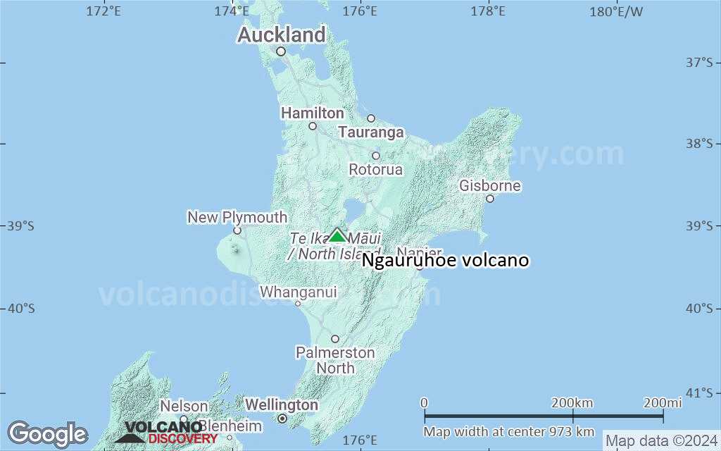
Terrain-type map of Ngauruhoe volcano (region scale large)
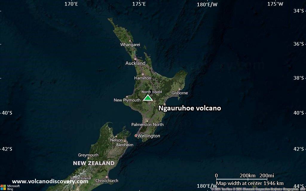
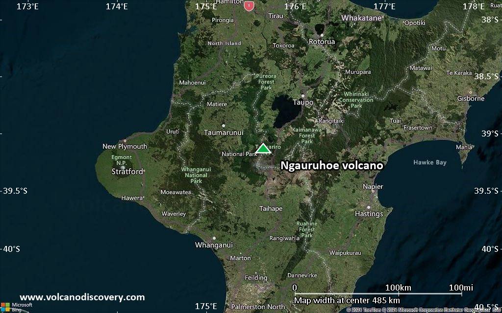
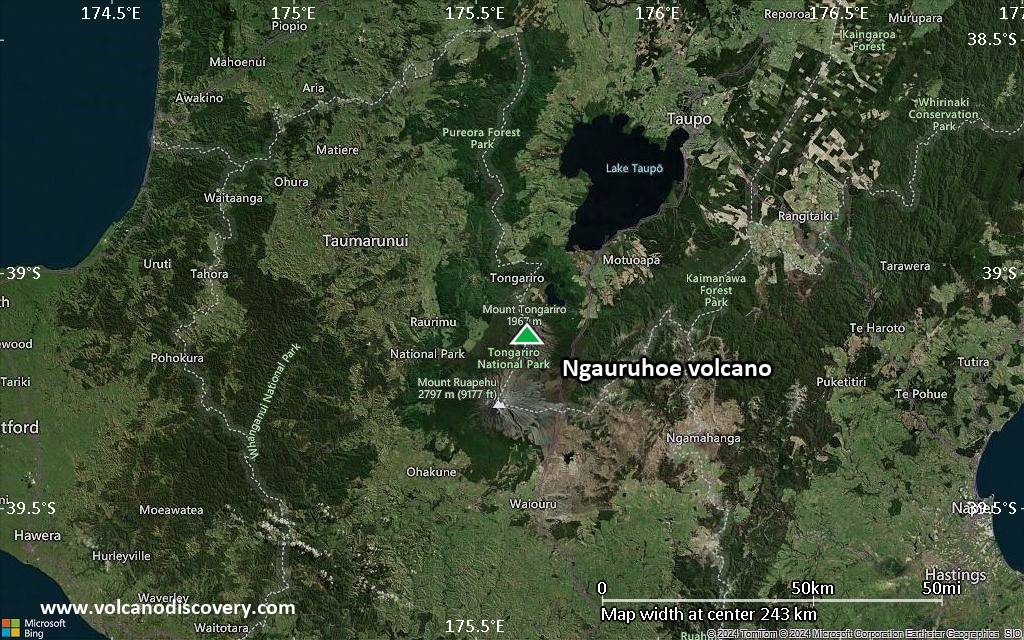
Satellite/aerial-type map of Ngauruhoe volcano (region scale medium)
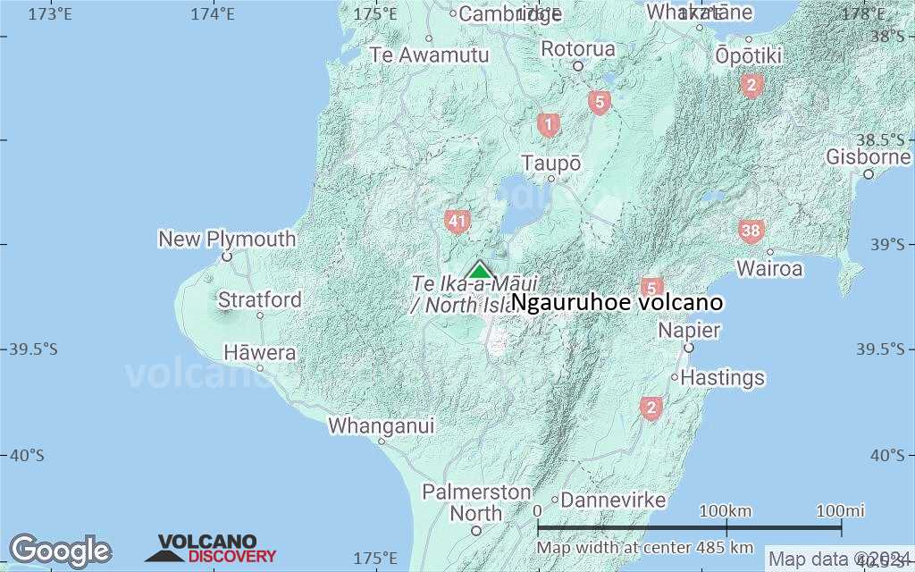
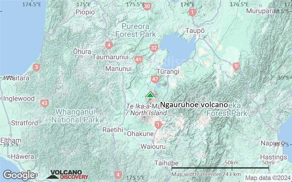
Terrain-type map of Ngauruhoe volcano (region scale medium)
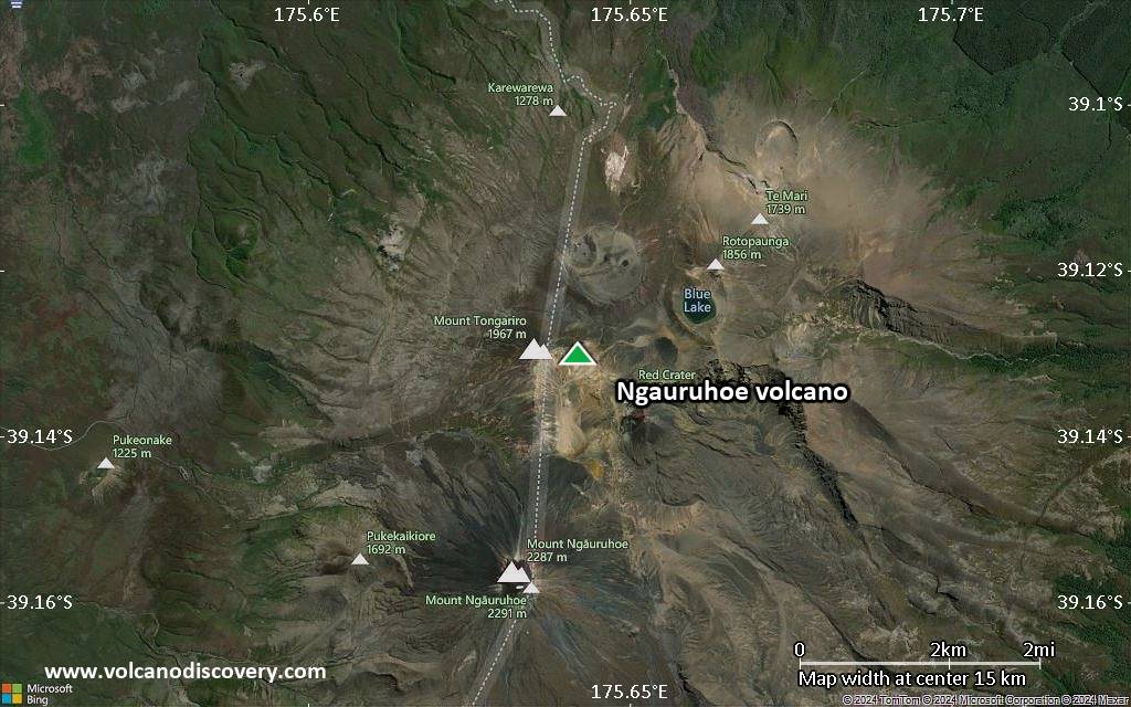
Satellite/aerial-type map of Ngauruhoe volcano (region scale small)
Terrain-type map of Ngauruhoe volcano (region scale small)
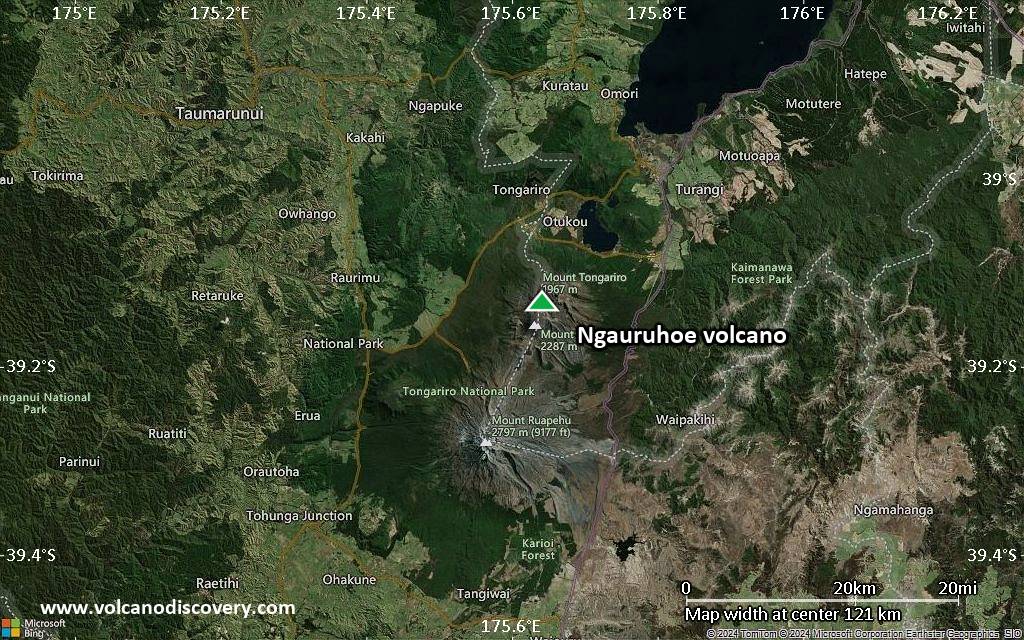
Satellite/aerial-type map of Ngauruhoe volcano (local scale large)
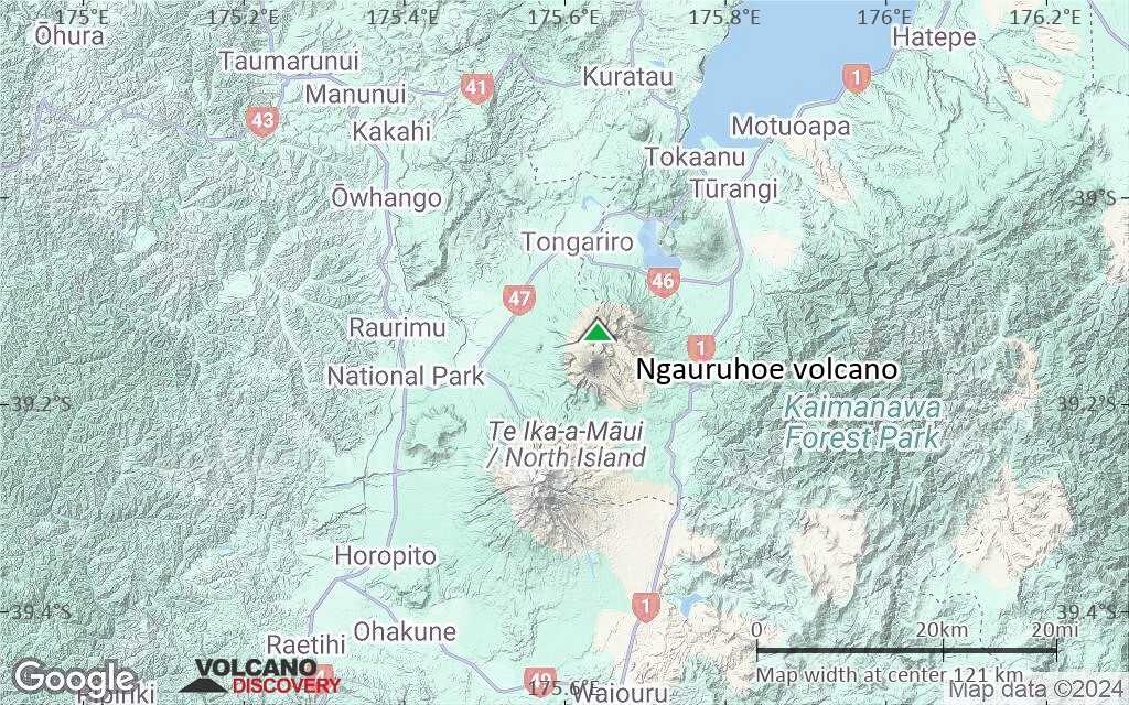
Terrain-type map of Ngauruhoe volcano (local scale large)
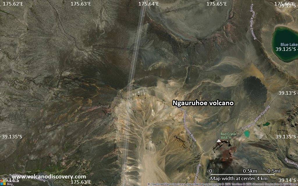
Satellite/aerial-type map of Ngauruhoe volcano (local scale medium)
Terrain-type map of Ngauruhoe volcano (local scale medium)
Satellite/aerial-type map of Ngauruhoe volcano (local scale small)
Terrain-type map of Ngauruhoe volcano (local scale small)
Satellite/aerial-type map of Ngauruhoe volcano (scale of 10s of km)
Terrain-type map of Ngauruhoe volcano (scale of 10s of km)
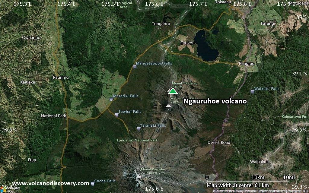
Satellite/aerial-type map of Ngauruhoe volcano (scale of 20-40 km)
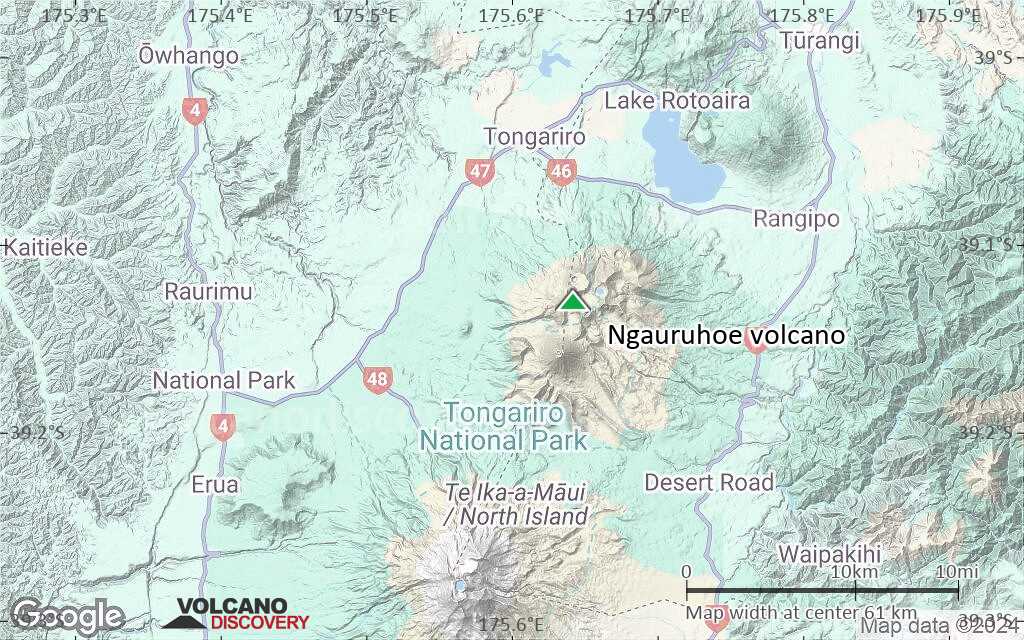
Terrain-type map of Ngauruhoe volcano (scale of 20-40 km)
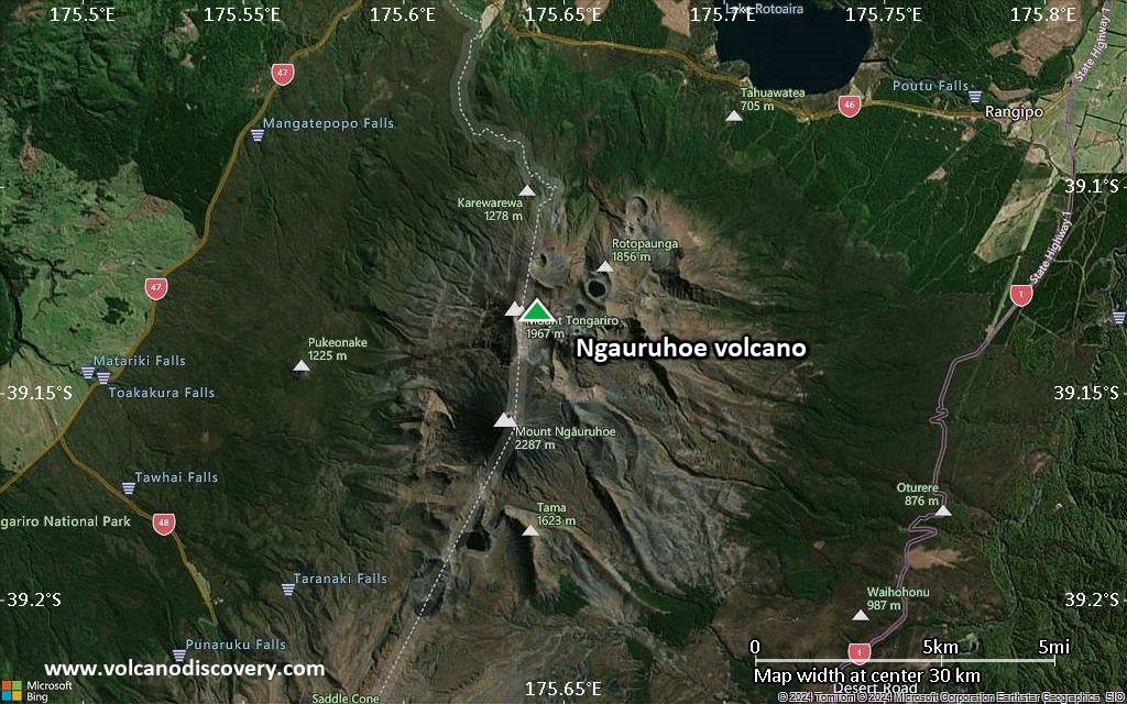
Satellite/aerial-type map of Ngauruhoe volcano (scale of approx. 10-20 km)
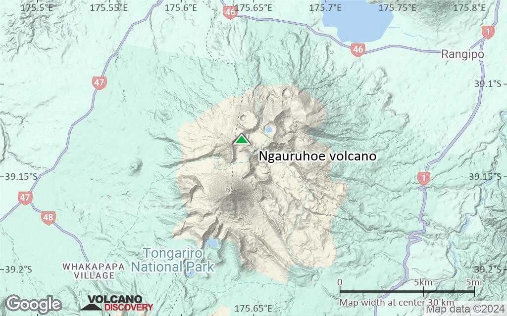
Terrain-type map of Ngauruhoe volcano (scale of approx. 10-20 km)
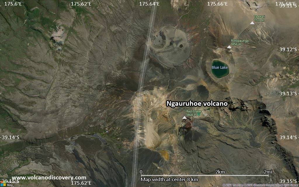
Satellite/aerial-type map of Ngauruhoe volcano (scale of 5-10 km)
Satellite/aerial-type map of Ngauruhoe volcano (scale of few kilometers)
Volcanoes & Earthquakes - new app for Android
Guaranteed tours
3-19 Nov 2025: Volcanoes and Spices - Sulawesi/Halmahera (Indonesia)
3-19 Nov 2025: From Krakatau to Bali - Java (Indonesia)
20 Nov - 3 Dec 2025: Desert, salt and volcanoes - Danakil desert (Ethiopia)
2-10 May 2026: From Stromboli to Etna - Sicily and Eolian Islands (Italy)
= spaces available   = guaranteed   = few spaces left   = booked out
Fri, 24 Apr 2015, 22:32

Ngauruhoe volcano (New Zealand): alert level lowered back to normal

The alert level was lowered back to the lowest level green, after signs of unrest at the volcano gradually had declined during the past weeks. ... Read all
Mon, 23 Mar 2015, 08:43

Ngauruhoe volcano (New Zealand): minor volcanic unrest

Earthquakes (yellow and red circles) near Ngauruhoe during the past 14 days
New Zealand's GNS Science reports an increase in earthquakes under the volcano, interpreted as weak signs of volcanic unrest. The Volcanic Alert Level was raised to level 1 (minor volcanic unrest), but no eruption is expected in the near future. ... Read all

On this page:

Try our free app!
Volcanoes & Earthquakes - new app for Android
Android | iOS version

More on VolcanoDiscovery

Why is there advertising on this site?

Support Us – Help Us Enhance Our Services!

We’re passionate about delivering the latest volcano and earthquake data from around the globe — just for you. However, maintaining our website and free apps requires significant time, effort, and resources.
Your support helps us expand our hardware and software capabilities and empowers our dedicated editorial team. Our mission is to provide uninterrupted, real-time updates whenever an earthquake strikes or a volcano erupts — and your donations make this possible. Every contribution, big or small, is deeply appreciated. If you find our information valuable and want to help us add new features, create compelling content, and improve our technology, please consider making a donation:

Donate with PayPal:

Planned Features:

Thanks to your past donations, we have recently added:
Download the Volcanoes & Earthquakes app to stay among the first to receive the fastest seismic and volcano alerts online:
Android | iOS
Thank you for being part of our mission!
Sources: VolcanoDiscovery / VolcanoAdventures and other sources as noted.
Use of material: Most text and images on our websites are owned by us. Re-use is generally not permitted without authorization. Contact us for licensing rights.
Volcanoes & Earthquakes
VolcanoDiscovery Home
Volcanoes | Earthquakes | Photos | Volcano News | | Shop | App
Adventure & Study Travel
Tours to Volcanoes and Volcanic Areas: walking tours, photo tours, study tours
Tours & Dates | FAQ | About us
Get our newsletter!
Company info
Contact | Legal info | Terms & conditions
Follow us
Follow us on facebook Follow us on Instagram Follow us on Bluesky Follow us on Twitter Visit our Youtube channel
EN | DE | EL | ES | FR | IT | RU
VolcanoDiscovery GmbH, Germany, Reg. nr.: HRB 103744, EU Tax Id: DE 297 465 123 owned and created by
Dr. Tom Pfeiffer, volcanologist, volcano photographer, tour organizer member of
IAVCEI
IAVCEI
Vulkanologische Gesellschaft
Volcanological Society
Ecotourism Greece
Ecotourism Greece
RUV insurance
Insured by R+V
VolcanoDiscovery © 2004- All Rights Reserved | Privacy - Cookie Settings