Blup Blup Volcano
Updated: 3. Mai 2024 10:42 GMT -
stratovolcano 402 m / 1,319 ft
Northeast of New Guinea (Papua Neuguinea), -3.51°S / 144.61°E
Aktueller Status: normal / ruhend (1 von 5)
Northeast of New Guinea (Papua Neuguinea), -3.51°S / 144.61°E
Aktueller Status: normal / ruhend (1 von 5)
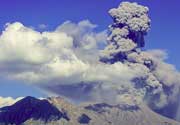
Blup Blup volcano forms the small, forested 3.5 km wide Blup Blup Island ca. 30 km offshore from Cape Girgir on the East Sepik coastline of New Guinea. The closest town is Karau.
The andesitic-dacitic volcano contains a 800 m diameter summit crater filled by thick rainforest, and possibly a lava dome on a ridge extending to the west. Lava flows with well-developed flow fronts are visible on its flanks. A small flank cone is located on the SW coast.
Most activity took place from the summit crater, but the age of the last eruption is unknown, but probably less than 10,000 years ago.
[smaller] [larger]
Ausbrüche des Blup Blup: unknown
Letzte Erdbeben in der Nähe
| Uhrzeit | Mag. / Tiefe | Entfernung / Ort | |||
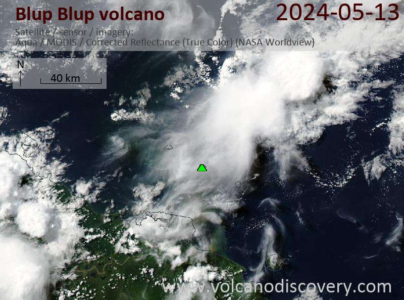
Latest satellite images