Fuss Peak Volcano
Updated: 28. Apr. 2024 07:53 GMT -
stratovolcano 1772 m / 5,814 ft
Paramushir Island (Kurilen), 50.27°N / 155.25°E
Aktueller Status: normal / ruhend (1 von 5)
Paramushir Island (Kurilen), 50.27°N / 155.25°E
Aktueller Status: normal / ruhend (1 von 5)
Fuss Peak is an isolated andesitic stratovolcano on southern Paramushir Island, Kuril Islands. The volcano rises almost 3000 m from the sea floor and forms a peninsula of Paramushir connected to it by a low isthmus.
The volcano contains a 700 m wide and 300 m deep crater, with a deep gully cutting its NW rim and forming a canyon down to the coast. Fresh-looking lava flows are on the E and SE flanks.
The last confirmed historic activity was in 1854.
[smaller] [larger]
Ausbrüche des Fuss Peak: 1933 (?), 1854
Letzte Erdbeben in der Nähe
| Uhrzeit | Mag. / Tiefe | Entfernung / Ort | |||
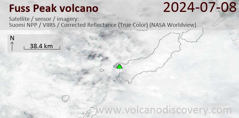
Latest satellite images