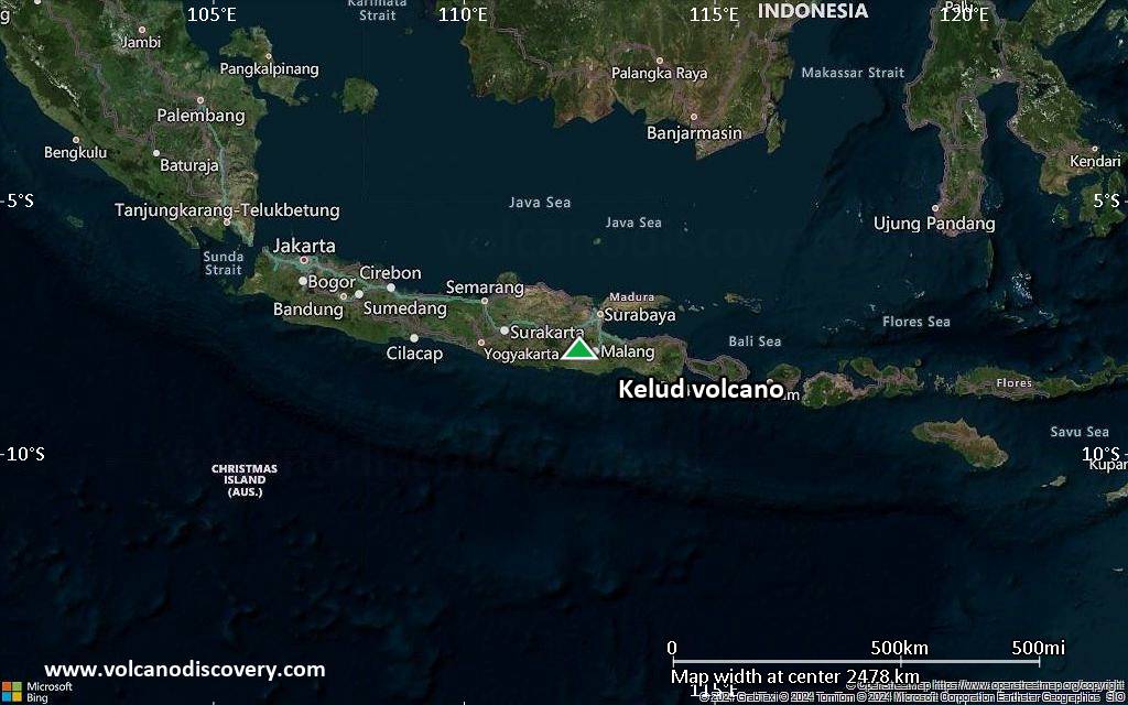
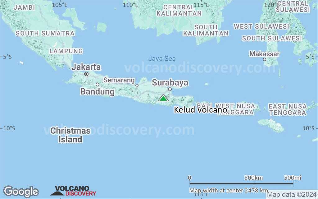
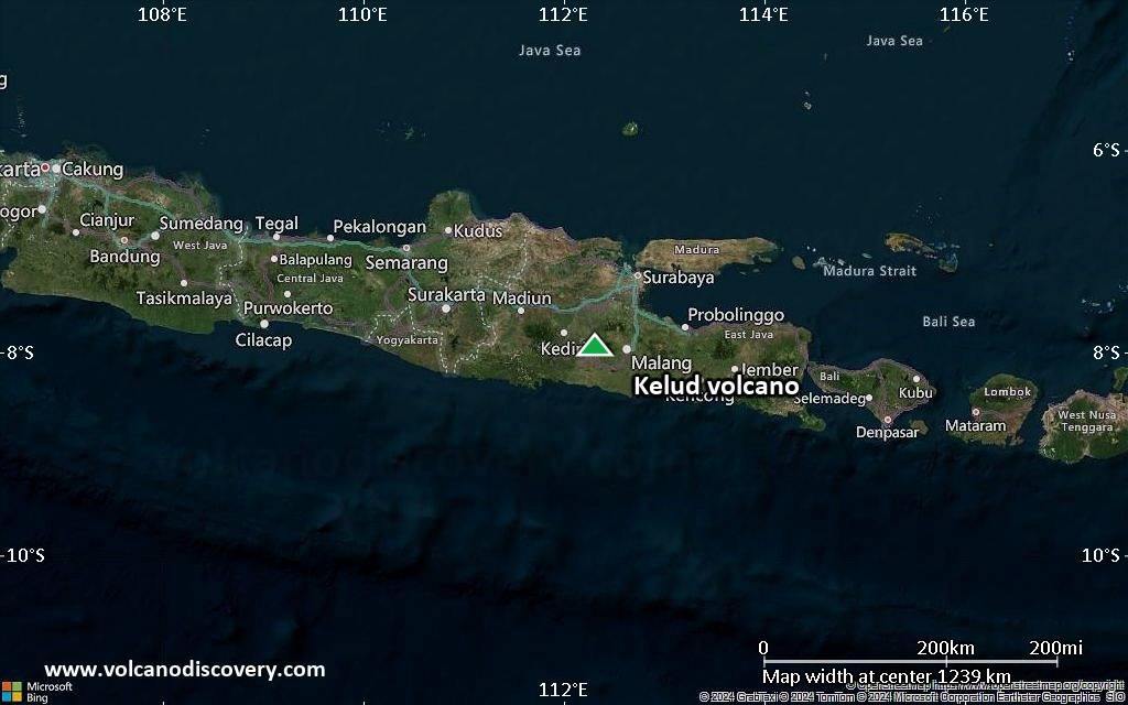
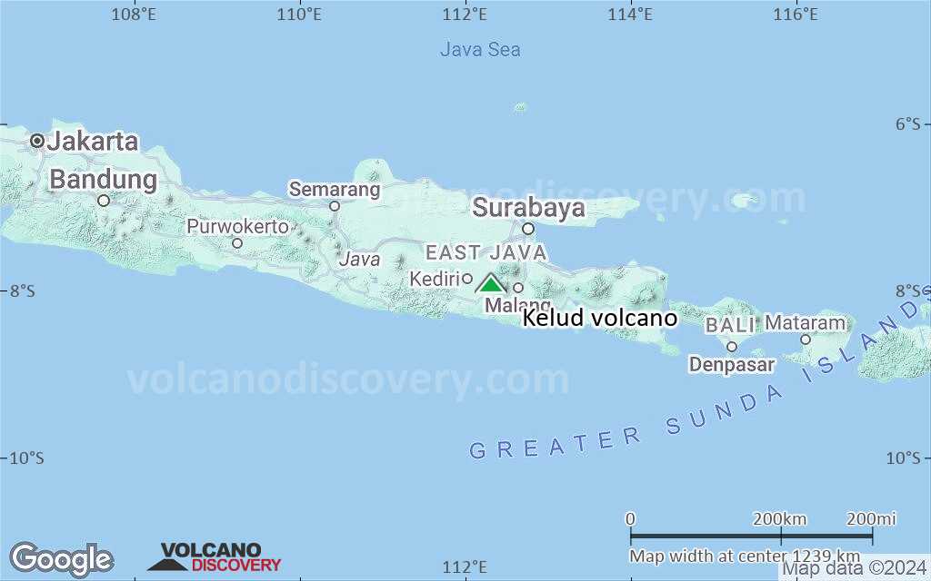
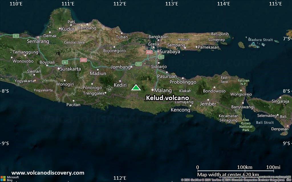
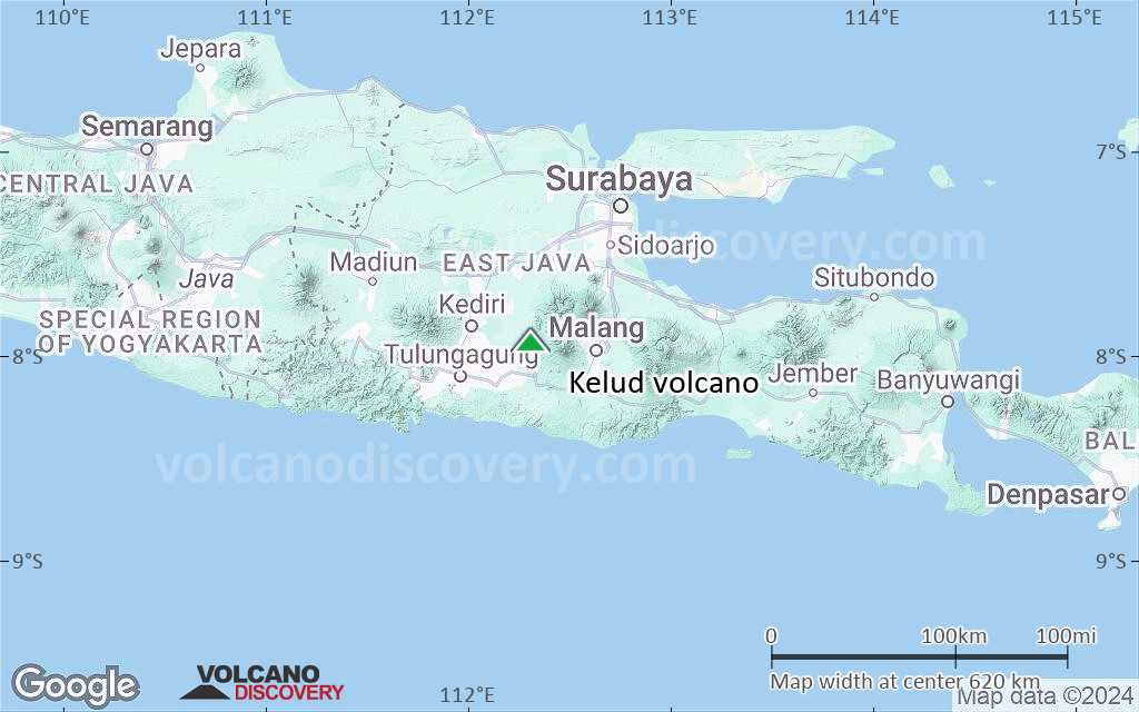
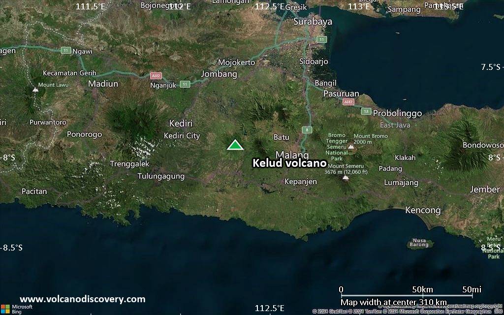
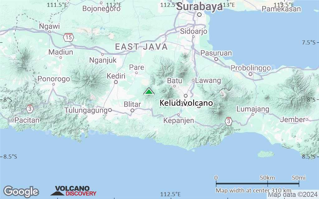
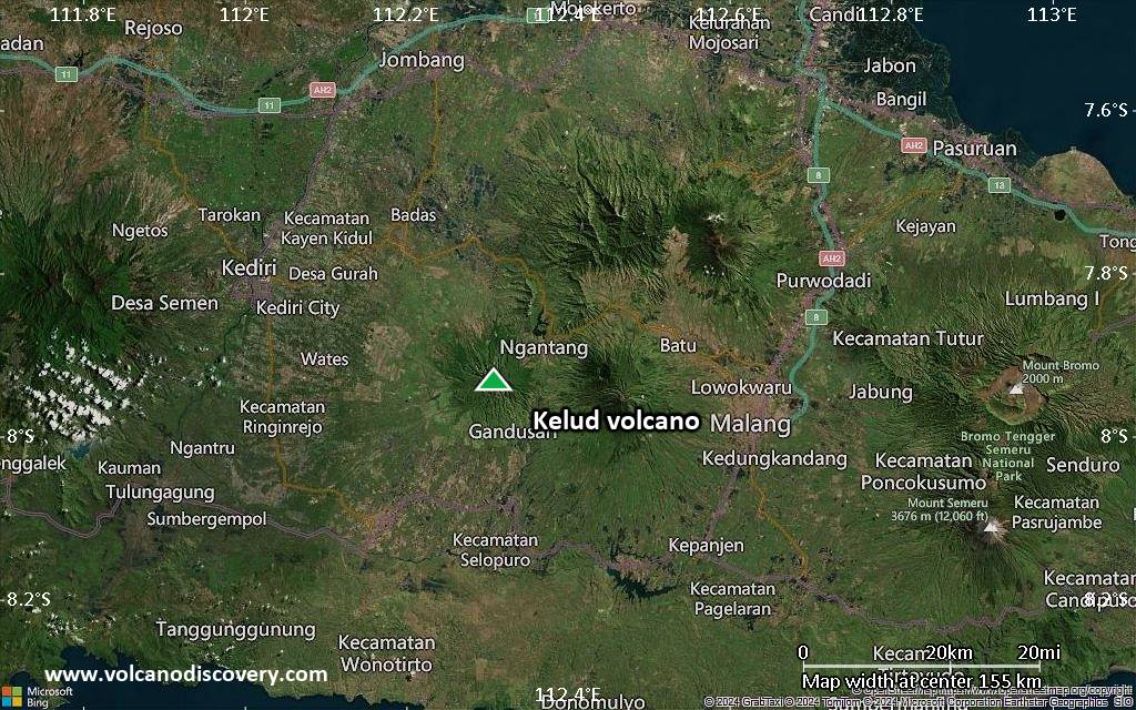
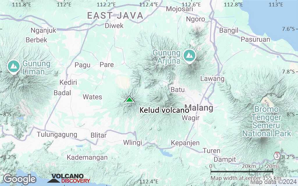
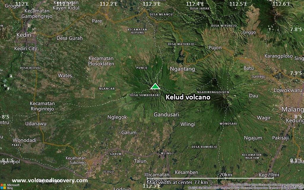
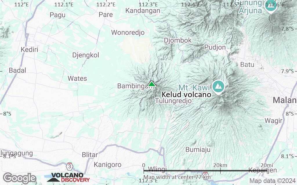
Kelud Vulkan
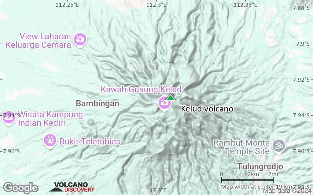
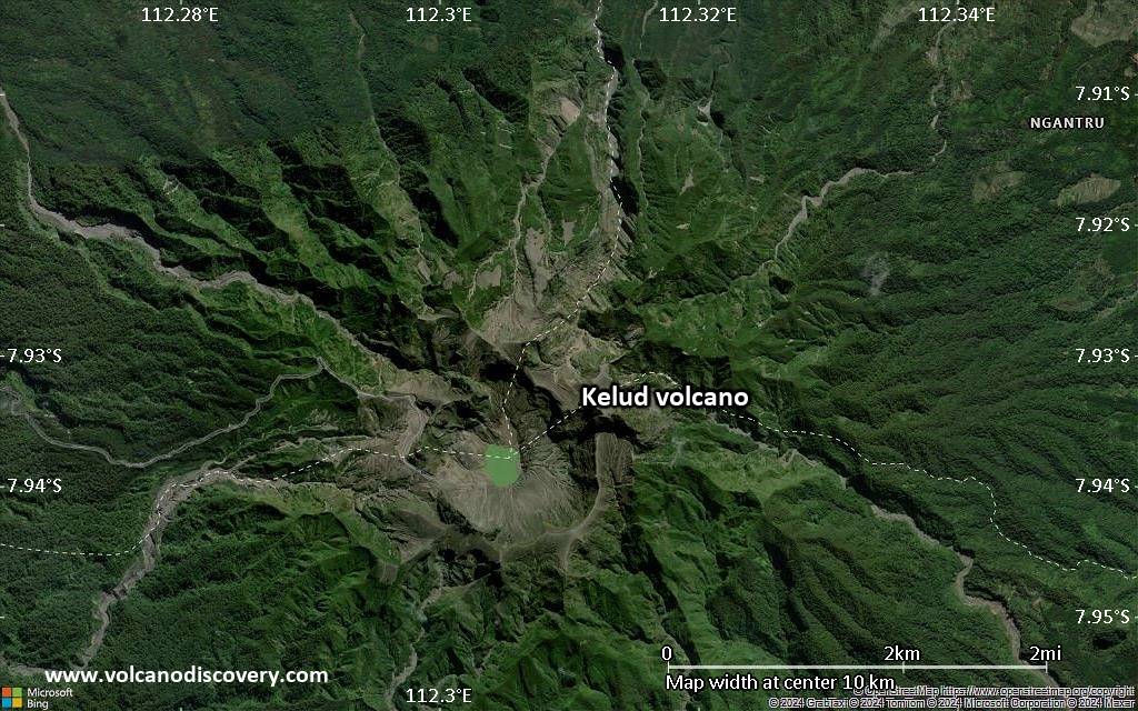
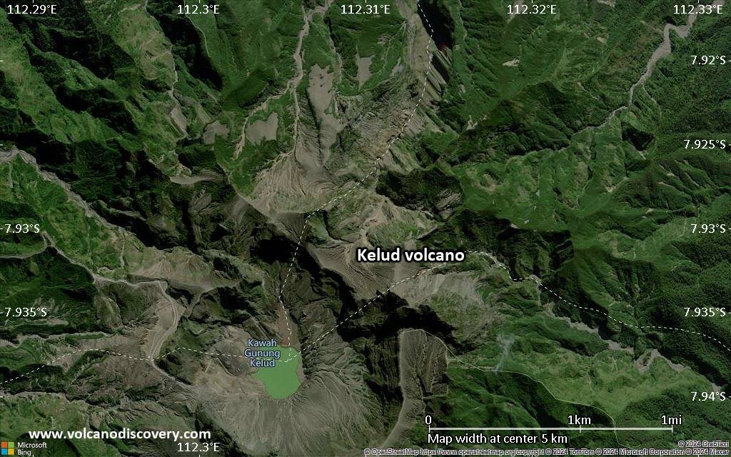
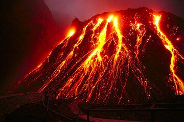
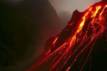
Kelud volcano (also spelled Kelut) is one of East Java's most active volcanoes. The volcano has a spectacular large crater that contains a lake, which was a popular weekend destination but also the origin of devastating mud flows (lahars). In Oct-Nov 2007, a new lava dome grew within the lake to form an island, replacing most of the water.
Kelut is notorious among Indonesia's volcanoes for its violent, and often deadly explosive eruptions. One of the worst volcanic disasters occurred during the 1919 eruption, when the (then very large) crater lake drained and formed lahars that killed at least 5160 people. An eruption in 1586 is believed to have caused even more than 10,000 fatalities.
Ausbrüche des Kelud: 1500(?), 1548, 1586 ((sub-)Plinian eruption?), 1641 (sub-Plininan eruption?), 1716, 1752, 1756(?), 1771, 1776, 1785, 1811, 1825, 1826, 1835, 1848, 1849(?), 1864, 1901, 1919, 1920, 1951, 1966, 1967, 1990, Oct-Nov 2007, 13 Feb 2014
Letzte Erdbeben in der Nähe
| Datum und Uhrzeit | Mag / Tiefe | Distanz / Ort | |||
|---|---|---|---|---|---|
Beschreibung
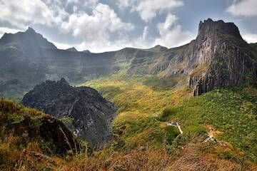
The relatively inconspicuous, 1731-m-high Kelud stratovolcano contains a summit crater lake that has been the source of some of Indonesia's most deadly eruptions.A cluster of summit lava domes cut by numerous craters has given the summit a very irregular profile. Satellitic cones and lava domes are also located low on the eastern, western, and SSW flanks. Eruptive activity has in general migrated in a clockwise direction around the summit vent complex. More than 30 eruptions have been recorded from Gunung Kelud since 1000 AD. The ejection of water from the crater lake during Kelud's typically short, but violent eruptions has created pyroclastic flows and lahars that have caused widespread fatalities and destruction.
After more than 5000 persons were killed during an eruption in 1919, an ambitious engineering project sought to drain the crater lake. This initial effort lowered the lake by more than 50 m, but the 1951 eruption deepened the crater by 70 m, leaving 50 million cubic meters of water after repair of the damaged drainage tunnels.
After more than 200 deaths in the 1966 eruption, a new deeper tunnel was constructed, and the lake's volume before the 1990 eruption was only about 1 million cubic meters.
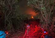
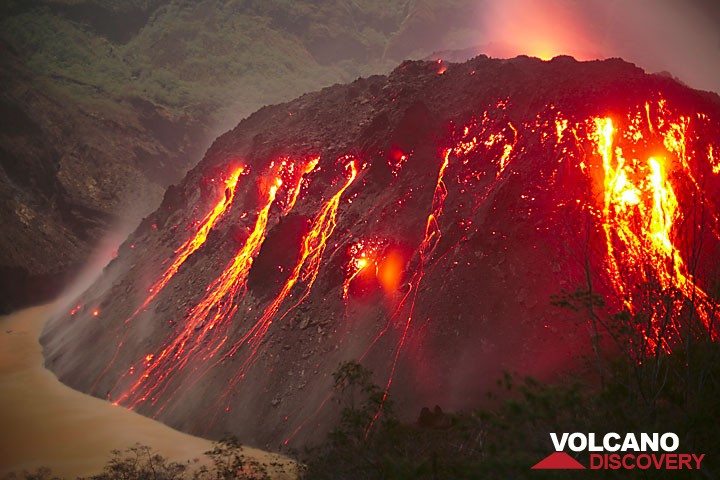
Kelud Volcano Photos

Bedeutende Vulkanausbrüche: Kelud volcano
Additionally, there are 4 uncertain or discredited eruptions from Kelud volcano.
| Datum | Hinweis | VEI | Todesopfer | Schaden | ||
|---|---|---|---|---|---|---|
| Summit crater lake Hist. dokumentiert | 4 | unbekannt | ||||
| 2014 Feb 13 (Ausbruch | Hist. dokumentiert | 0 | 7 | schwer | Info | |
Hist. dokumentiert | 2 | unbekannt | ||||
| 1998 Jul (Eruptionsepisode | Hist. dokumentiert | 0 | 10 | unbekannt | Info | |
| 1990 Nov 25 (Ausbruch | Hist. dokumentiert | 0 | 4 | unbekannt | Info | |
Hist. dokumentiert | 4 | unbekannt | ||||
| 1990 Feb 10 (Ausbruch | Hist. dokumentiert | 4 | 32 | unbekannt | Info | |
| Crater floor at foot of Kelut Peak Hist. dokumentiert | 1 | unbekannt | ||||
Hist. dokumentiert | 1 | unbekannt | ||||
Hist. dokumentiert | 4 | unbekannt | ||||
| 1966 Apr 26 (Ausbruch | Hist. dokumentiert | 4 | 215 | unbekannt | Info | |
Hist. dokumentiert | 4 | unbekannt | ||||
Hist. dokumentiert | 3 | 7 | unbekannt | Info | ||
Hist. dokumentiert | 2 | unbekannt | ||||
Hist. dokumentiert | 4 | unbekannt | ||||
| 1919 Mai 19 (Ausbruch | Hist. dokumentiert | 4 | 5,110 | katastrophal | Info | |
Hist. dokumentiert | 3 | unbekannt | ||||
| 1901 Mai 22 (Ausbruch | Hist. dokumentiert | 3 | 50-100 (*) | unbekannt | Info | |
Diskreditierter Ausbruch | ||||||
Hist. dokumentiert | 0 | 1-50 (*) | mittel | Info | ||
Hist. dokumentiert | 2 | unbekannt | ||||
| 1864 Jan 3 (Ausbruch | Hist. dokumentiert | 2 | 54 | unbekannt | Info | |
Hist. dokumentiert | 2 | unbekannt | ||||
?? | Unsicherer Ausbruch | ? | unbekannt | |||
Hist. dokumentiert | 3 | unbekannt | ||||
Hist. dokumentiert | 2 | 21 | sehr schwer | Info | ||
Hist. dokumentiert | 2 | unbekannt | ||||
Hist. dokumentiert | 4? | unbekannt | ||||
| 1826 Okt 11 (Ausbruch | Hist. dokumentiert | 3 | 1-50 (*) | schwer | Info | |
Hist. dokumentiert | 2 | unbekannt | ||||
Hist. dokumentiert | 2 | unbekannt | ||||
Ausbrüche des Vulkans Kelud
A violent explosion occurred on the evening of 13 Feb 2014, destroying the lava dome.
An ash column rose to 10-15 km altitude and formed a plume of several 100 km length and width that drifted over the Indian Ocean. Heavy ash fall occurred in distances of up to 200 km, and several airports on Java needed to shut down temporarily.
Kelut volcano eruption update
The 2007 eruption was almost purely effusive and built a new lava dome, replacing the previous lake.
Kelud Volcano FAQ
+When was the last eruption of Kelud volcano?
The last confirmed eruption of Kelud occurred im Jahr 2014.
+How often does Kelud volcano erupt?
Since 1000 AD, Kelud volcano has had at least 36 historically documented eruptions. This means that it erupts on average every 28.5 years.
+How active is Kelud volcano at present?
Kelud volcano is infrequently active: Since 1900, it has had 10 eruptions, and been active during 10 years out of 126 as of now. This means, Kelud has been in eruption one in 12.6 years on average. The last eruption was in 2014 and ended 11 years ago.
+When was the largest eruption of Kelud volcano?
The largest eruption of Kelud volcano in historic times occurred im Jahr 1586 AD. It ranks as a plinian eruption with a magnitude 5 on the VEI (Volcanic Explosivity Index) scale. Eruption of this size are often catastrophic on a regional scale.
Neueste Satellitenbilder
Preis 3120 €
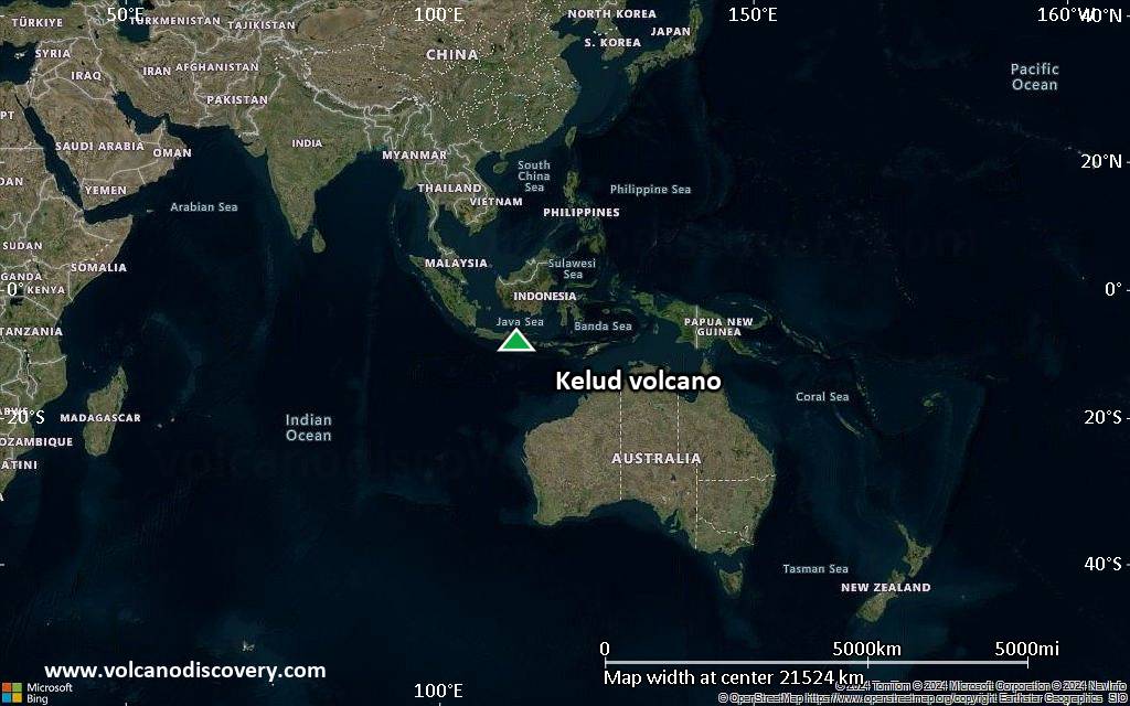
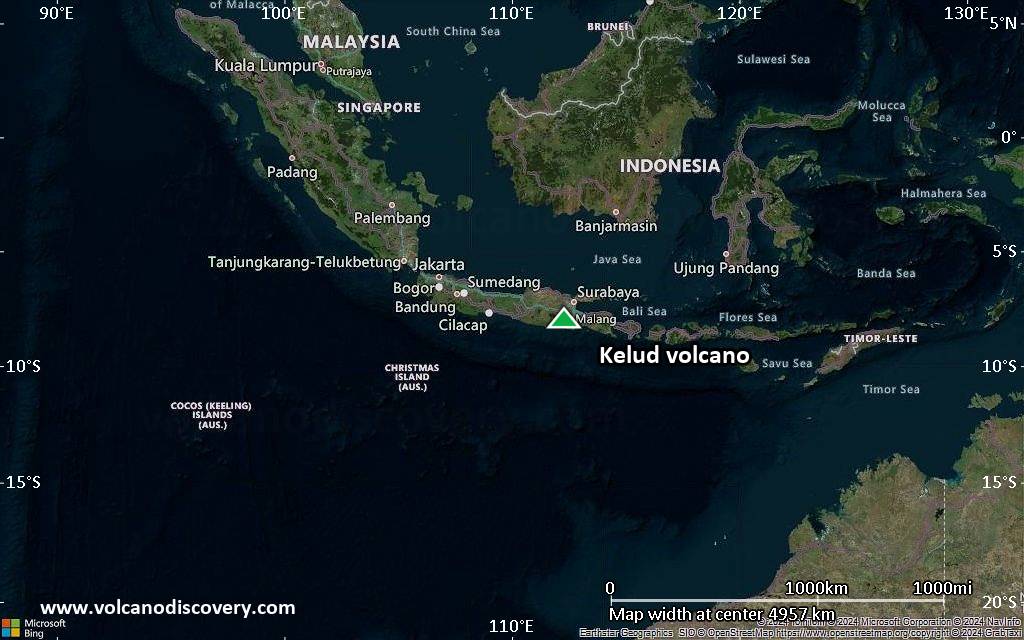
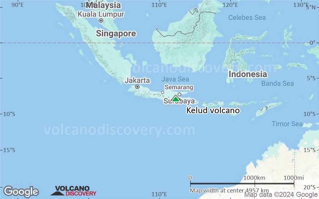
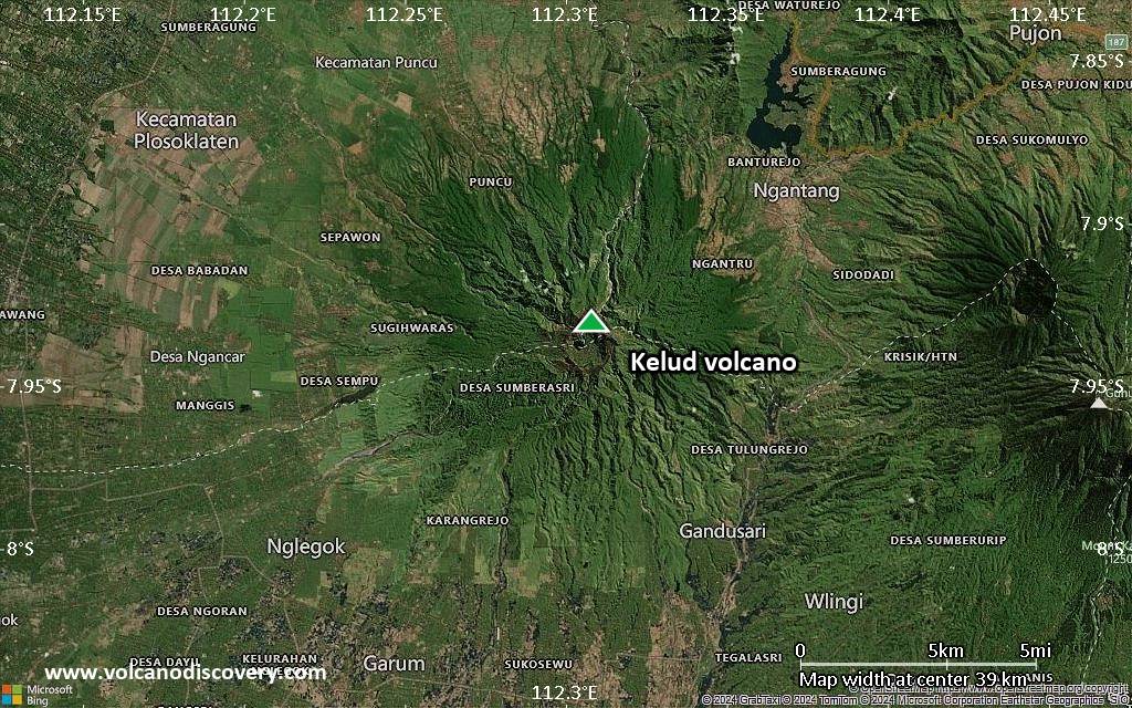
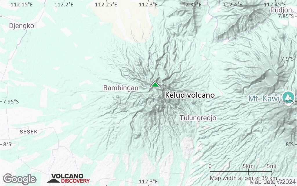
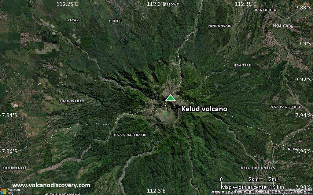
Kelud Vulkan Karten