| RSS | EN | DE | EL | ES | FR | IT | RU

Turfan Vulkan

Updated: 24. Okt. 2025 18:36 GMT -
cinder cone
Xinjiang Province, China, 42.9°N / 89.25°E
Summit height: unknown
Aktueller Status: normal / ruhend (1 von 5)

Turfan volcano (allso referred to as the volcano of Ho-tscheu or Bischbalik) is an isolated volcanic cone near the city of Turfan in the Xinjiang Province of NW China.
An eruption was recorded during the Song Dynasty (between 960 and 1279 AD). The History of the Song Dynasty recorded activity consisting of frequent "smoke from the volcano on cloudless days and a nighttime blaze like a torch".
The northern Song Dynasty ruled from 960-1127 AD and the southern Song Dynasty from 1127-1279 AD.

[smaller] [larger]
Typische Aktivität: strombolian
Ausbrüche des Turfan: 1120 AD ± 150 years

Letzte Erdbeben in der Nähe

Datum und UhrzeitMag / TiefeDistanz / Ort

Neueste Satellitenbilder

Turfan Satellitenbild sat1Turfan Satellitenbild sat2

Turfan Vulkan Karten

Below is a selection of maps showing the location and surroundings of the volcano at various resolutions based on aerial-imagery / terrain maps. Feel free to use them for non-commercial purposes on your blog or website as long as you credit them with a link back to this page (click to copy it).
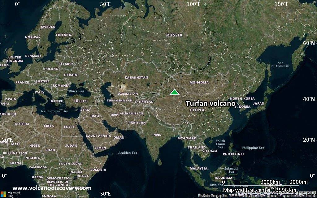
Satellite/aerial-type map of Turfan volcano (world scale)
Terrain-type map of Turfan volcano (world scale)
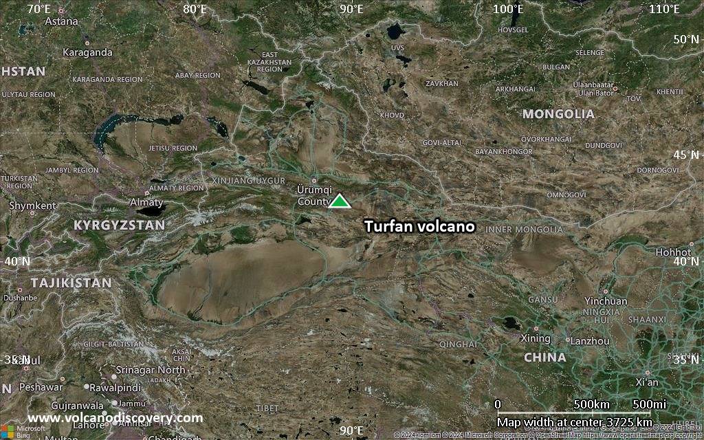
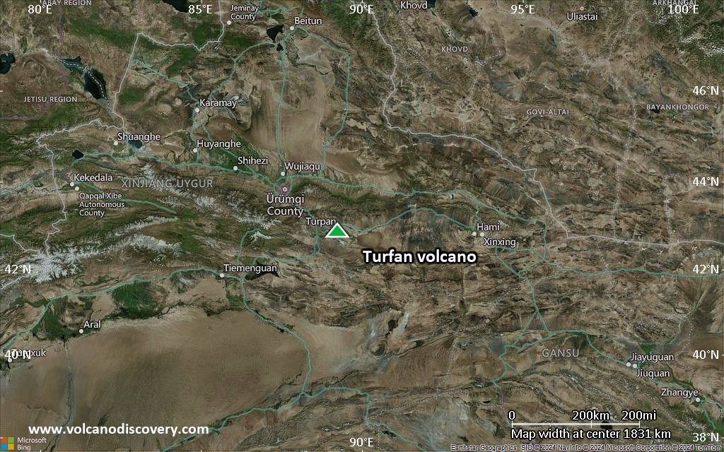
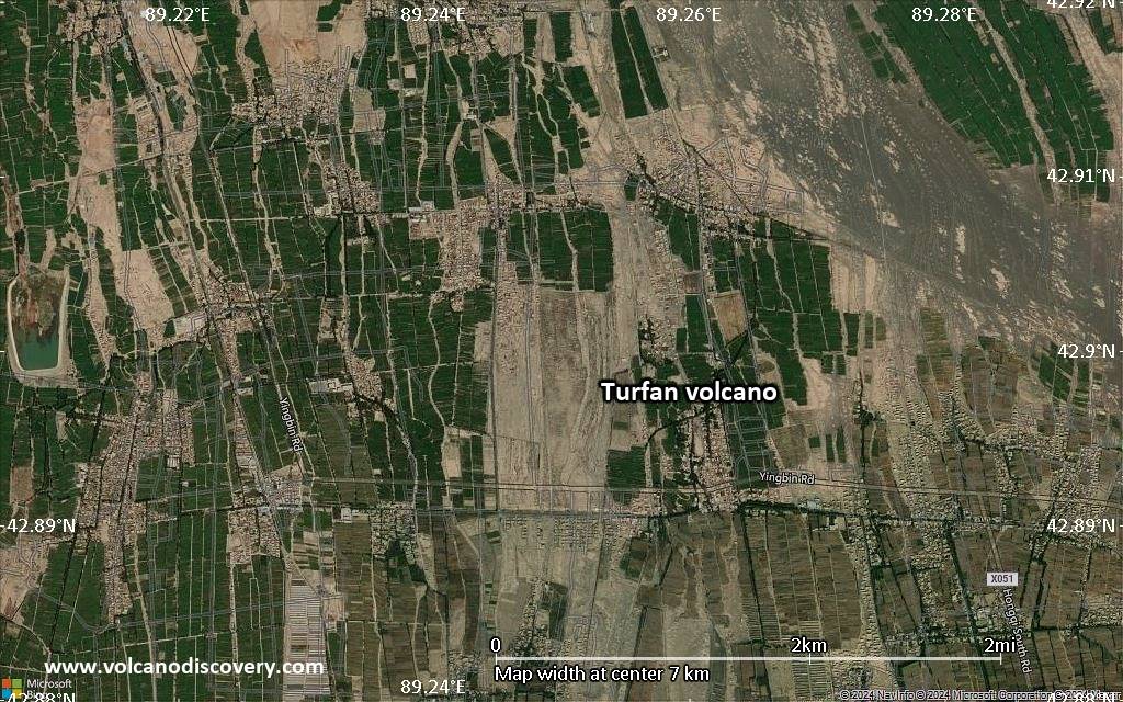
Satellite/aerial-type map of Turfan volcano (region scale large)
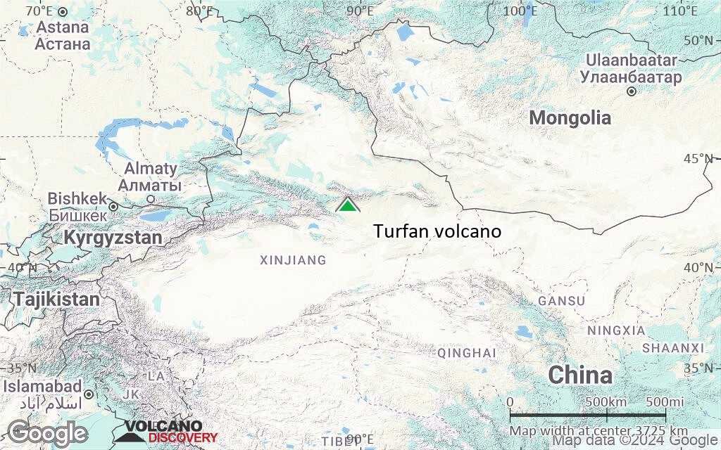
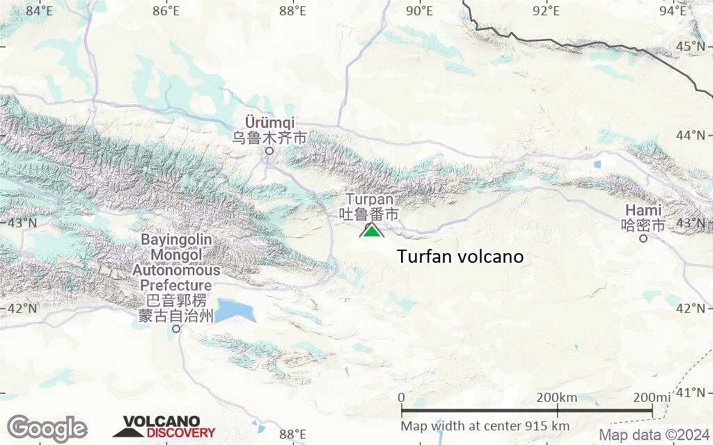
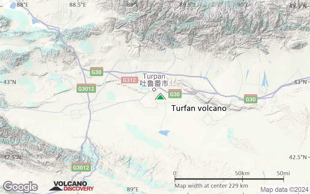
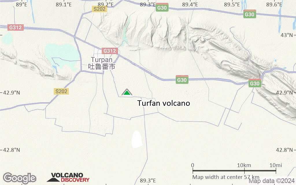
Terrain-type map of Turfan volcano (region scale large)
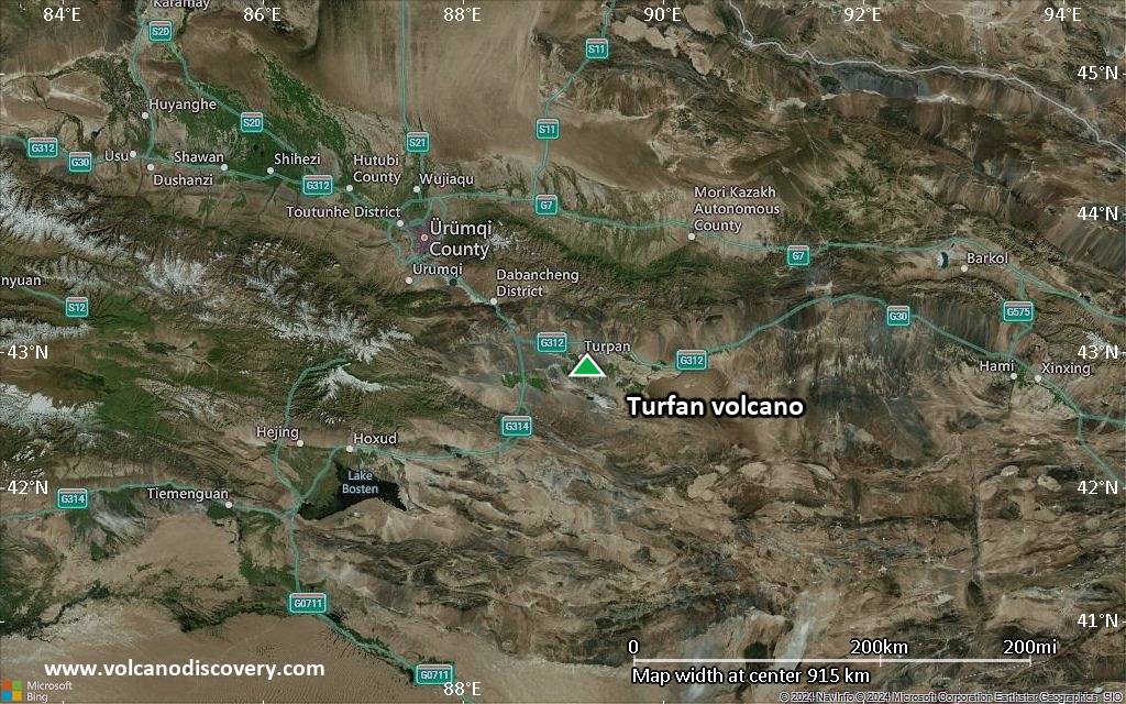
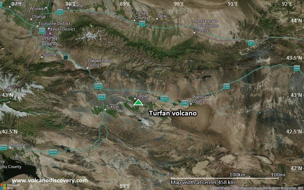
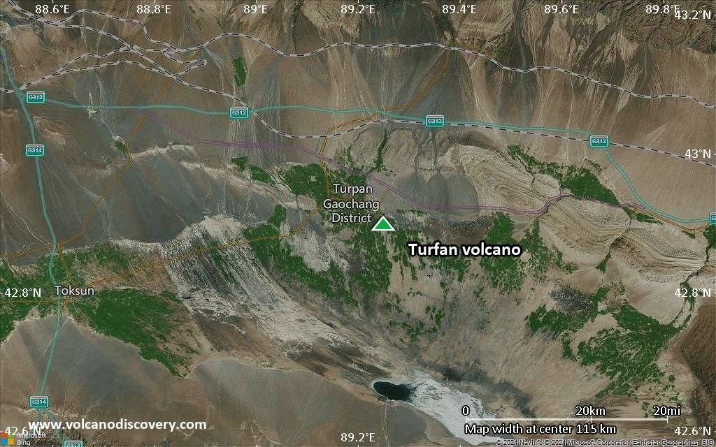
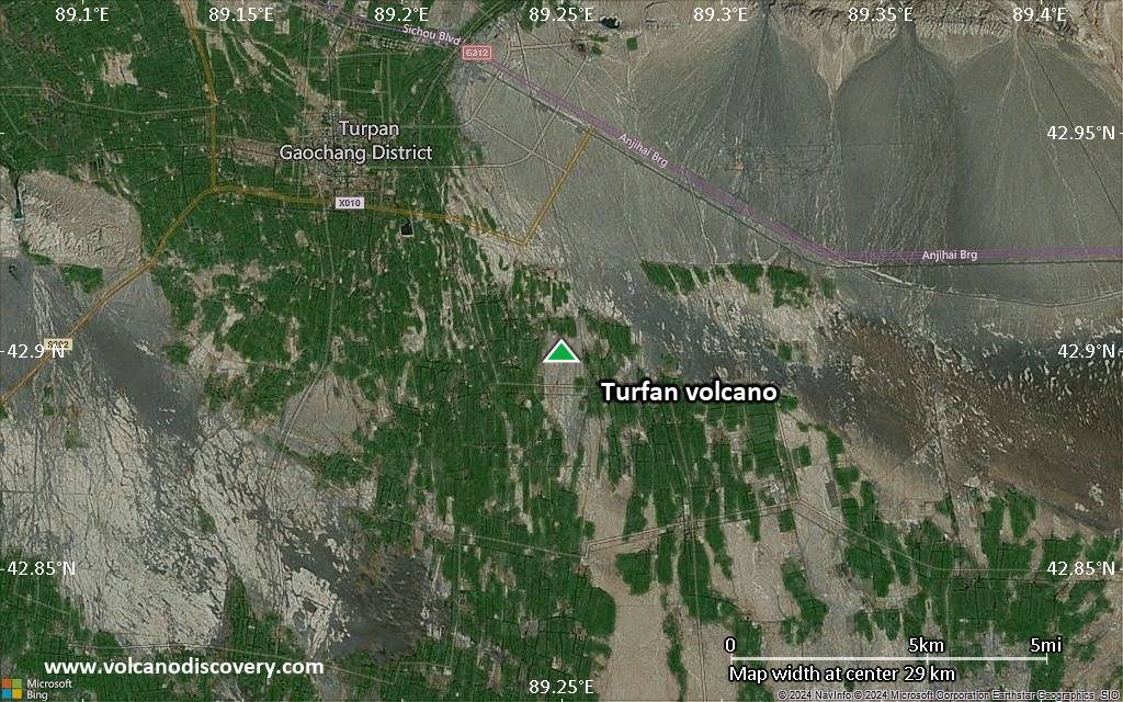
Satellite/aerial-type map of Turfan volcano (region scale medium)
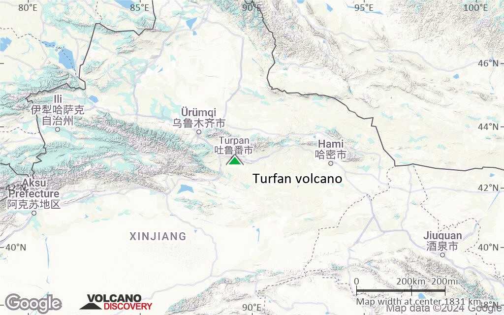
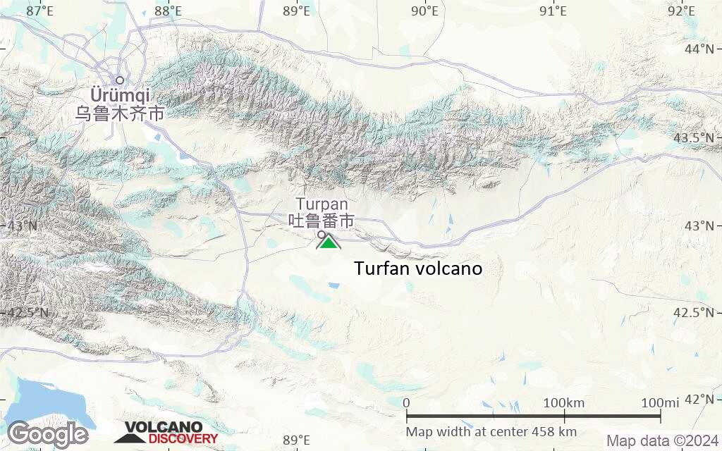
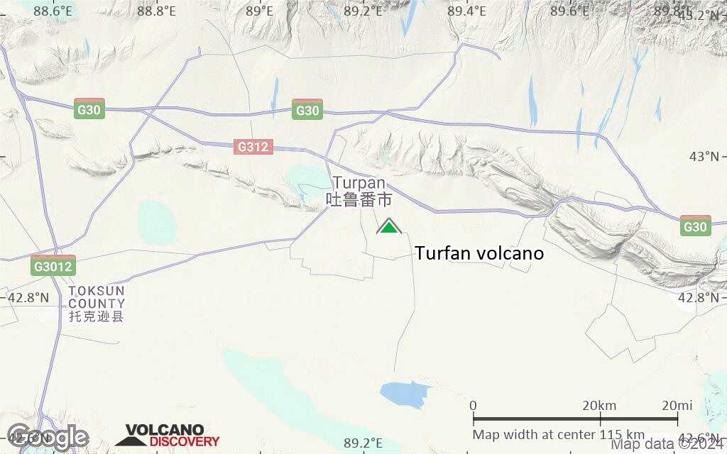
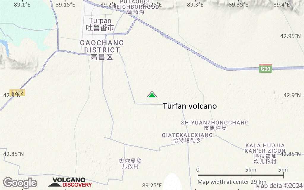
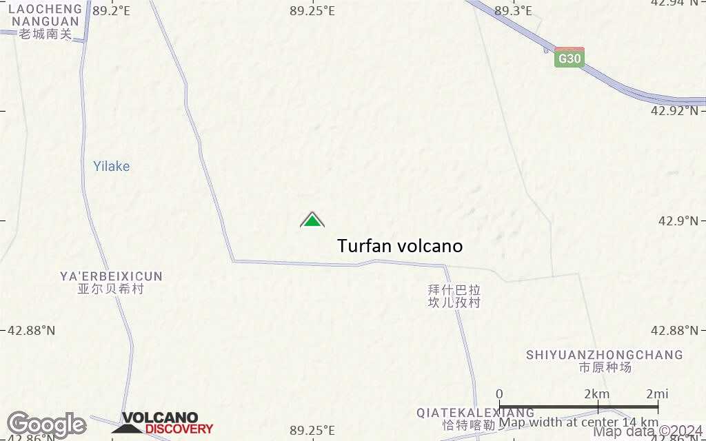
Terrain-type map of Turfan volcano (region scale medium)
Satellite/aerial-type map of Turfan volcano (region scale small)
Terrain-type map of Turfan volcano (region scale small)
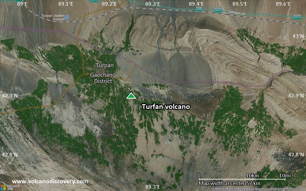
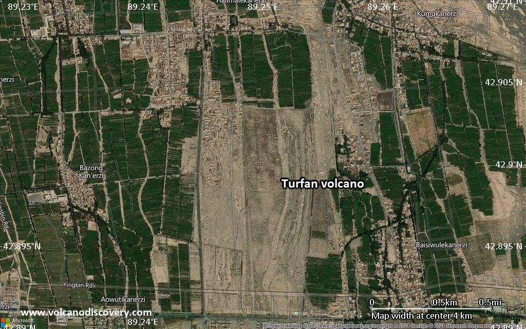
Satellite/aerial-type map of Turfan volcano (local scale large)
Terrain-type map of Turfan volcano (local scale large)
Satellite/aerial-type map of Turfan volcano (local scale medium)
Terrain-type map of Turfan volcano (local scale medium)
Satellite/aerial-type map of Turfan volcano (local scale small)
Terrain-type map of Turfan volcano (local scale small)
Satellite/aerial-type map of Turfan volcano (scale of 10s of km)
Terrain-type map of Turfan volcano (scale of 10s of km)
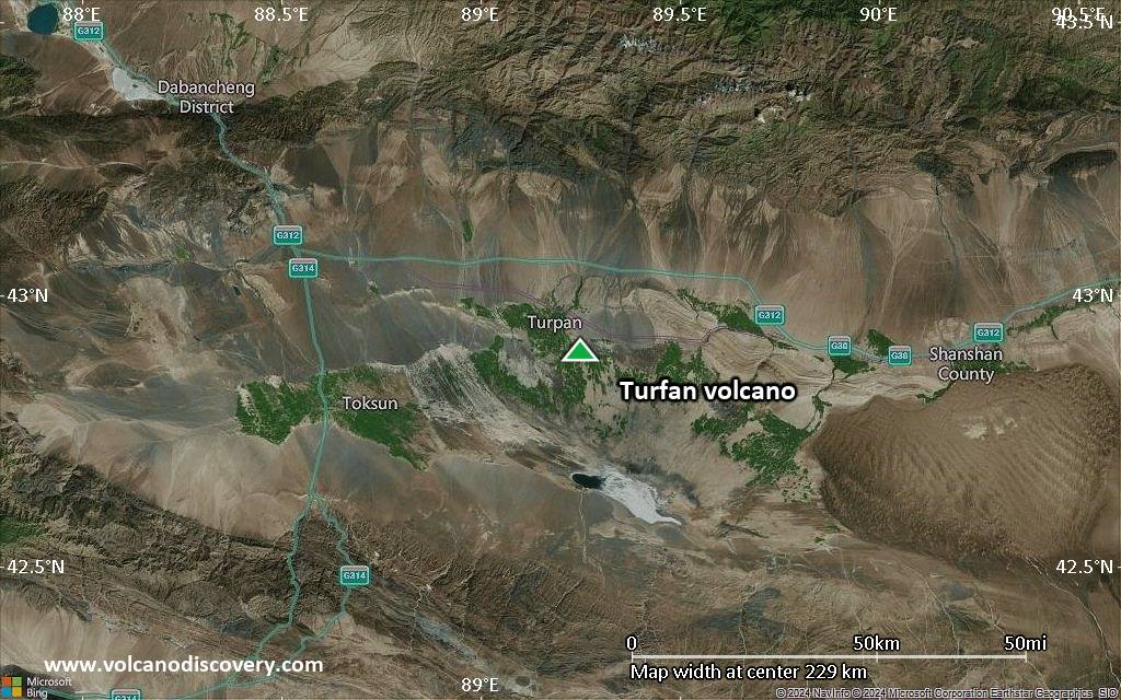
Satellite/aerial-type map of Turfan volcano (scale of 20-40 km)
Terrain-type map of Turfan volcano (scale of 20-40 km)
Satellite/aerial-type map of Turfan volcano (scale of approx. 10-20 km)
Terrain-type map of Turfan volcano (scale of approx. 10-20 km)
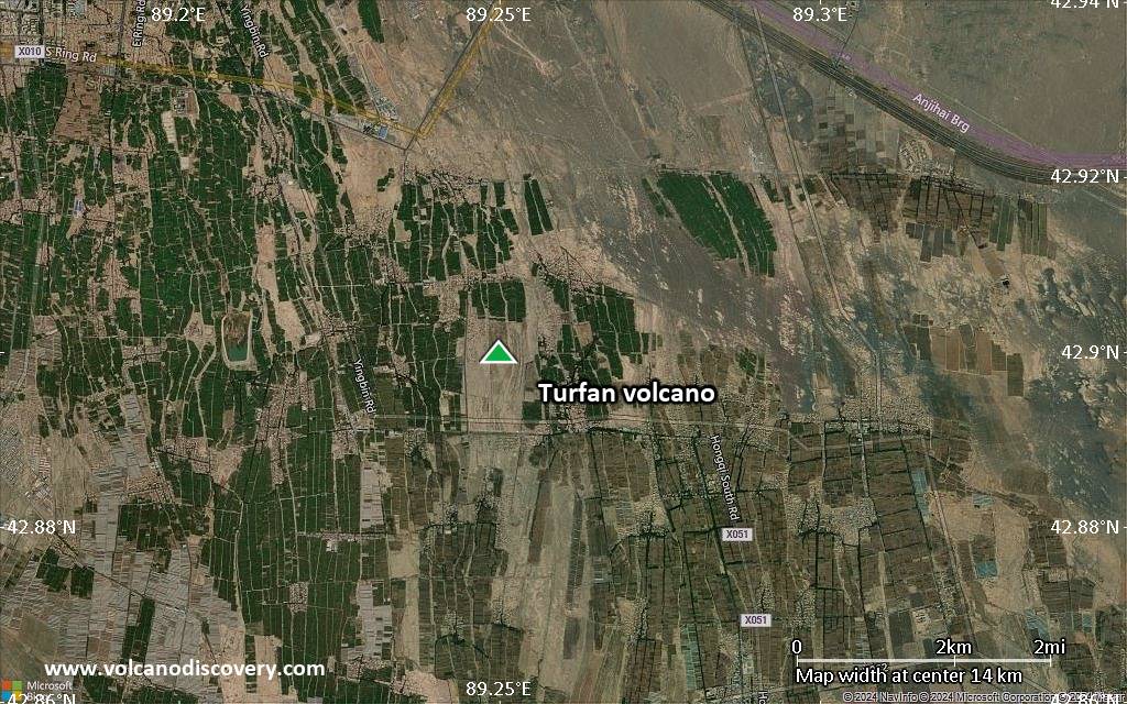
Satellite/aerial-type map of Turfan volcano (scale of 5-10 km)
Satellite/aerial-type map of Turfan volcano (scale of few kilometers)
Volcanoes & Earthquakes - new app for Android
Garantierte Reisen
3.-19. Nov 2025: Volcanoes and Spices - N-Sulawesi + Halmahera (Indonesien)
3.-19. Nov 2025: Von Krakatau bis Bali - Java (Indonesien)
20. Nov - 3. Dez 2025: Wüste, Salz und Vulkane - Danakilwüste (Äthiopien)
2.-10. Mai 2026: Feuerberge Siziliens - vom Stromboli zum Ätna - Äolische Inseln + Ätna
= Plätze frei   = garantiert   = Wenig freie Plätze   = Ausgebucht
News

No news in this list.

Auf dieser Seite:

Try our free app!
Volcanoes & Earthquakes - new app for Android
Android | iOS version

More on VolcanoDiscovery

Warum gibt es Werbung auf dieser Seite?

Gemeinsam VolcanoDiscovery weiterentwickeln!

Tag für Tag arbeiten wir mit Leidenschaft daran, Ihnen die neuesten Daten zu Vulkanen und Erdbeben in aller Welt in Echtzeit bereitzustellen. Die Pflege unserer Website und unserer kostenlosen Apps erfordert jedoch erheblichen Zeitaufwand, Engagement und technische Ressourcen.
Mit Ihrer Unterstützung können wir unsere Hard- und Softwarekapazitäten ausbauen, unser Redaktionsteam stärken und sicherstellen, dass wir Sie weiterhin informieren können. Unser Ziel: ein unterbrechungsfreier und möglichst vollständiger Service, sobald sich ein Erdbeben oder Vulkanausbruch ereignet. Ihre Unterstützung macht dies möglich – jeder Beitrag zählt! Wenn Sie unsere Dienste und Infos hilfreich finden und sich an dieser Mission beteiligen möchten, unterstützen Sie uns noch heute:

Spenden mit PayPal:

Geplante Verbesserungen:

Dank Ihrer bisherigen Spenden konnten wir bereits umsetzen:
Laden Sie die App „Vulkane & Erdbeben“ herunter, um bei Vulkanen und Erdbeben immer auf dem aktuellsten Stand zu sein und neueste Nachrichten zu erhalten!
Android | iOS
Vielen Dank, dass Sie Teil dieser Mission sind!
Sources: VolcanoDiscovery / VolcanoAdventures and other sources as noted.
Use of material: Most text and images on our websites are owned by us. Re-use is generally not permitted without authorization. Contact us for licensing rights.
Volcanoes & Earthquakes
VolcanoDiscovery Home
Vulkane | Erdbeben | Fotos | News | | Shop | App
Adventure & Study Travel
Reisen zu Vulkanen und Vulkangebieten: Wanderreisen, Studienreisen, Fotoreisen
Tours & Dates | FAQ | About us
Get our newsletter!
Company info
Kontakt | Impressum | AGB
Follow us
Follow us on facebook Follow us on Instagram Follow us on Bluesky Follow us on Twitter Visit our Youtube channel
EN | DE | EL | ES | FR | IT | RU
VolcanoDiscovery GmbH, Germany, Reg. nr.: HRB 103744, EU Tax Id: DE 297 465 123 owned and created by
Dr. Tom Pfeiffer, volcanologist, volcano photographer, tour organizer member of
IAVCEI
IAVCEI
Vulkanologische Gesellschaft
Volcanological Society
Ecotourism Greece
Ecotourism Greece
RUV insurance
Insured by R+V
VolcanoDiscovery © 2004- All Rights Reserved | Datenschutz - Cookie Einstellungen