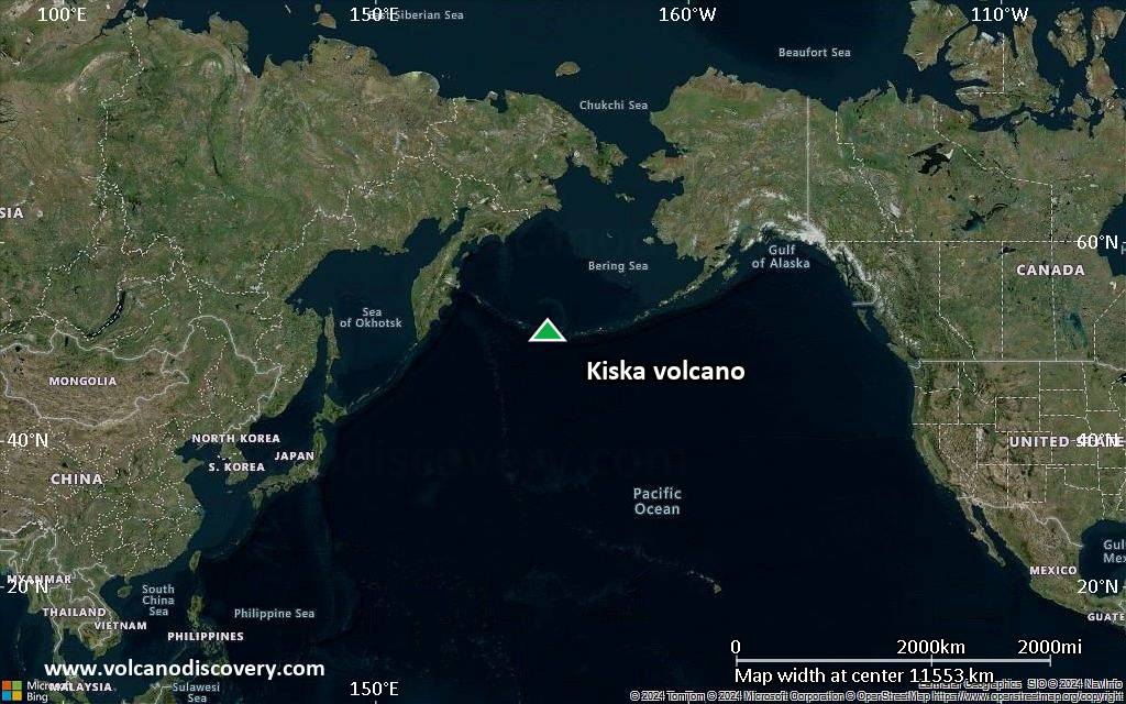
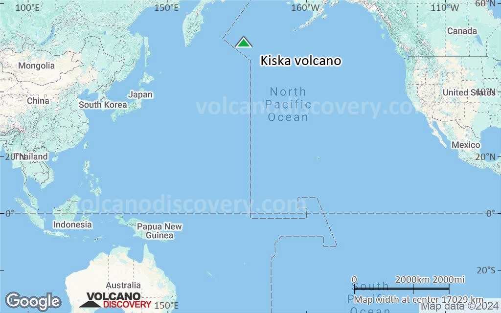
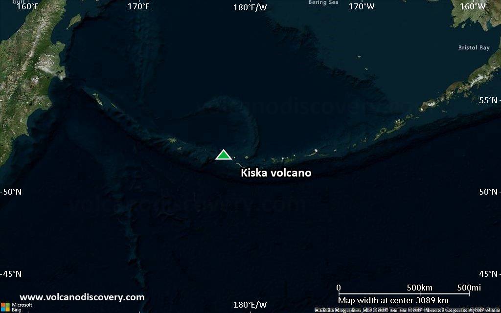
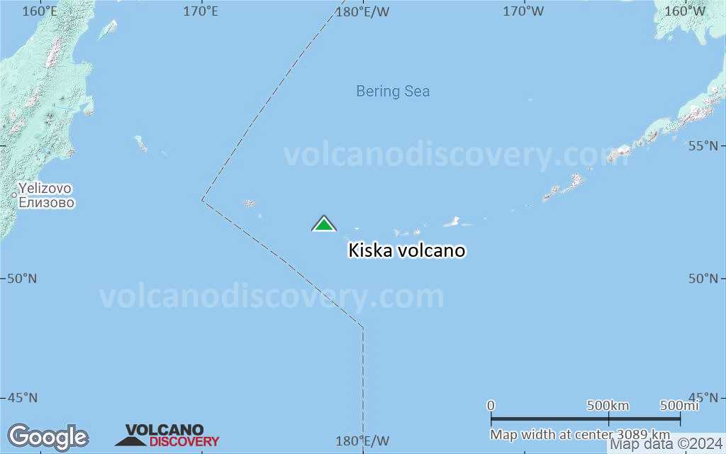
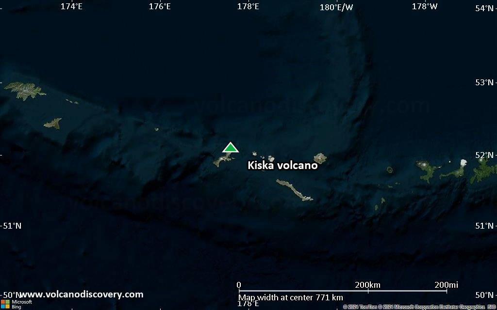
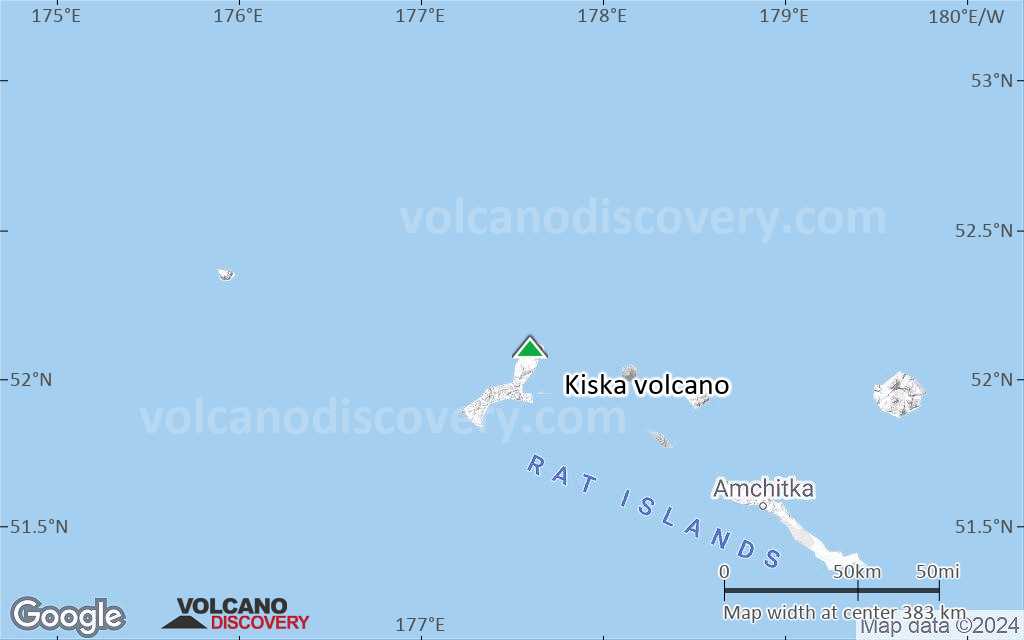
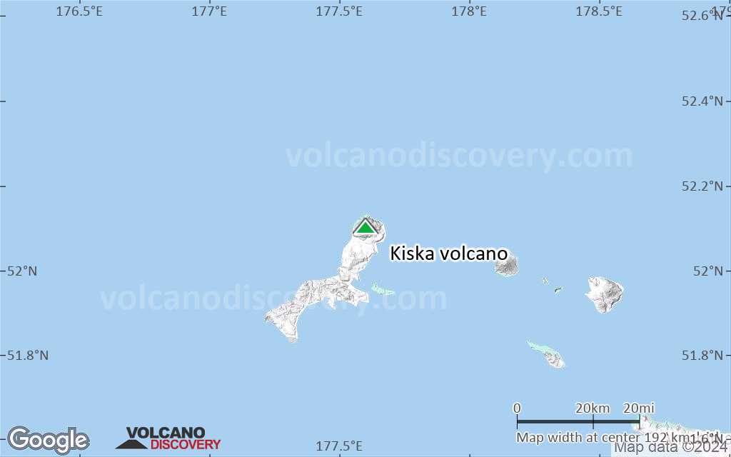
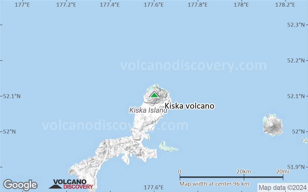
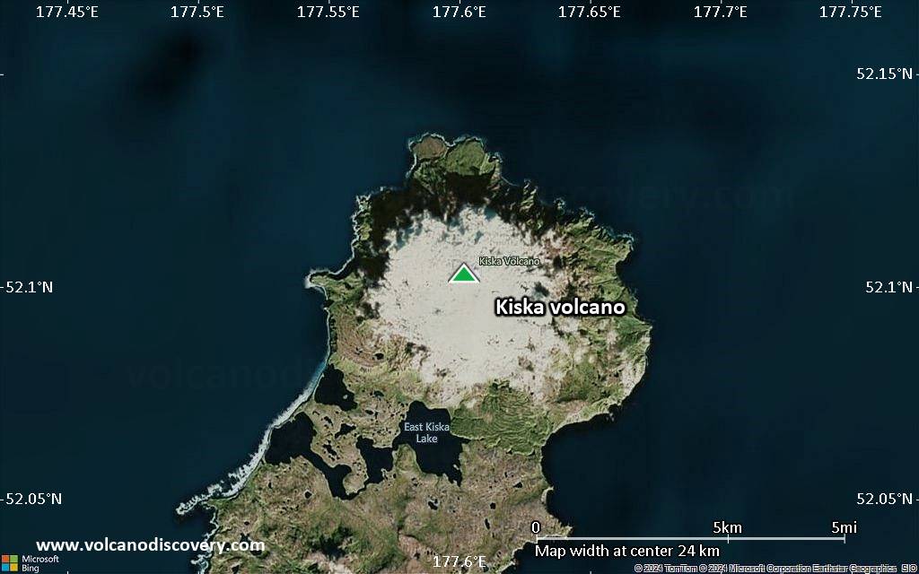
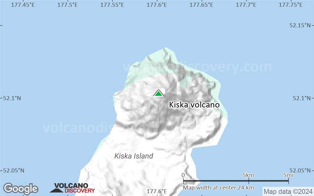
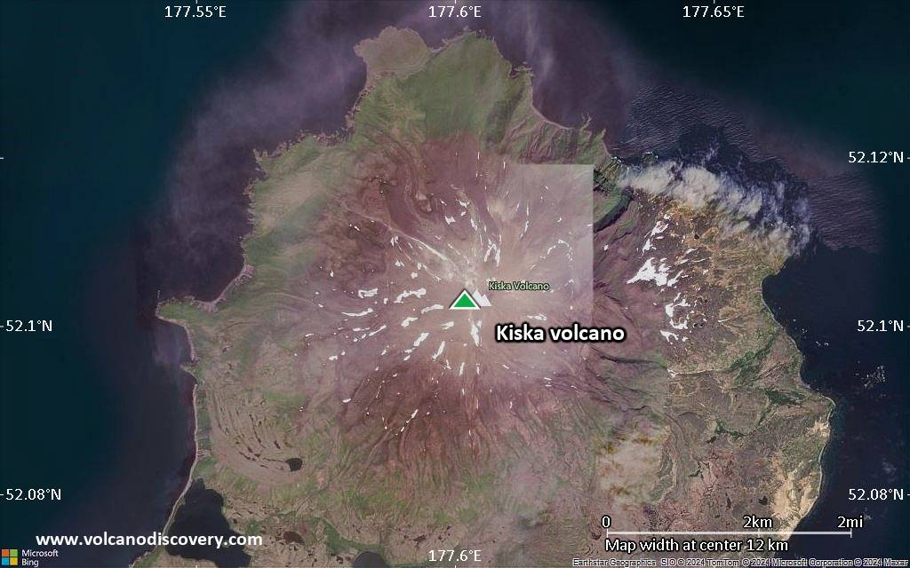
| RSS | EN | DE | EL | ES | FR | IT | RU

Kiska Volcán

Updated: 10 mayo 2025 02:15 GMT -
Stratovolcano
United States, Aleutian Islands, 52.1°N / 177.6°E
Summit height: 1220 m / 4,003 ft
Current status: normal or dormant (1 out of 5)

[smaller] [larger]
Typical eruption style: unspecified
Erupciones del volcán Kiska: 1990 

Latest nearby earthquakes

Fecha y horaMag / Prof.Distancia / Ubicación

Background

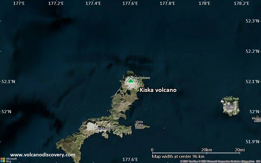
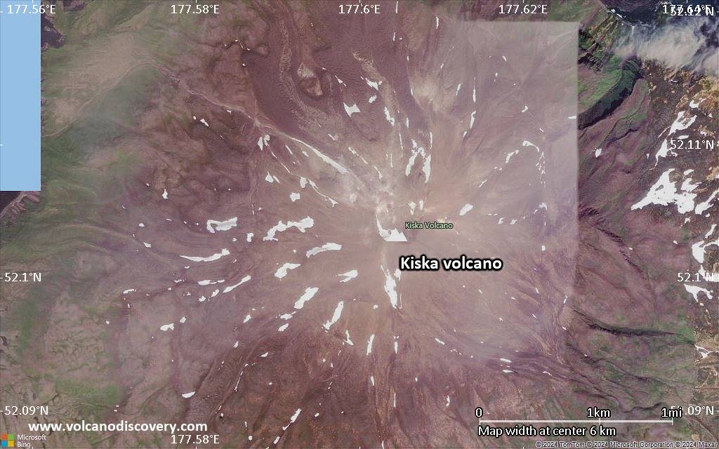
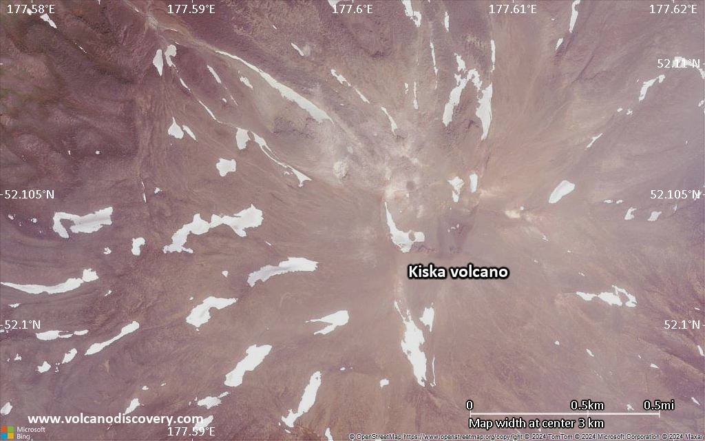
Conical Kiska volcano is the westernmost historically active volcano of the 2500-km-long Aleutian arc. The volcano lies at the northern tip of the elongated Kiska Island, across a low isthmus containing East Kiska and West Kiska lakes. A 400-m-wide elliptical crater, breached to the north, caps the 1220-m-high stratovolcano. The volcano is surrounded on three sides by sea cliffs up to 450 m high and overlies an older volcanic center exposed to the south. A massive submarine debris-avalanche deposit extends 40 km to the NNW. The southern part of the NE-SW-trending island, the westernmost of the Rat Island group, has been glaciated, but all lava flows on Kiska volcano post-date the last major glaciation. Young, steep-sided blocky lava flows, primarily on the northern and SW flanks, have originated from vents at locations ranging from the summit to near sea level. A flank cinder cone and associated lava flows were erupted in 1962 at Sirius Point on the northern coast. The island contains one of the best harbors in the Aleutian Islands, but is uninhabited.
---
Smithsonian / GVP volcano information

Erupciones volcánicas significativas: Kiska volcano

In the past 10,000 years, Kiska has had at least 4 confirmed eruptions, all documented by historical records or observations. Additionally, there are 3 uncertain or discredited eruptions from Kiska volcano.
The table below lists all known eruptions (date in bold face) of Kiska volcano in historic times and during the past 10,000 years. Updates on the most recent volcanic activity of Kiska can be found on the news page of Kiska volcano.
FechaNotaVEIFallecidosDaños
1990 jun 1Upper NW? flank
Obs. históricas/documentos
2
desconocido
?? 1987 abr 15
Erupción incierta
?
desconocido
1969 sep 11 - sep 16
Obs. históricas/documentos
2?
desconocido
1964 mar 18
Obs. históricas/documentos
0
desconocido
1962 ene 24North flank (Sirius Point)
Obs. históricas/documentos
3
desconocido
?? 1927
Erupción incierta
2?
desconocido
?? 1907
Erupción incierta
2?
desconocido
Remark:
Our list of volcanic eruptions closely follows the database of eruptions of the Smithsonian's Global Volcanism Project (GVP), the internationally most recognized data source for volcanic eruptions, but also includes significant eruptive episodes or related volcano events. "Volcanic eruptions" are usually to be understood as sequences of individual eruptive episodes that can follow each other, or even overlap (if several vents are involved), and can last many years, decades or even longer. For example, the current activity of Stromboli volcano is understood as a single eruption that has been ongoing since 1934.
Fuentes: NOAA National Centers for Environmental Information (NCEI), Global Significant Volcanic Eruptions Database. doi:10.7289/V5TD9V7K | Global Volcanism Project / Smithsonian Institution

Kiska Volcano FAQ

+When was the last eruption of Kiska volcano?

+How often does Kiska volcano erupt?

+How active is Kiska volcano at present?

+When was the largest eruption of Kiska volcano?

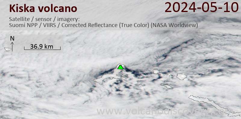
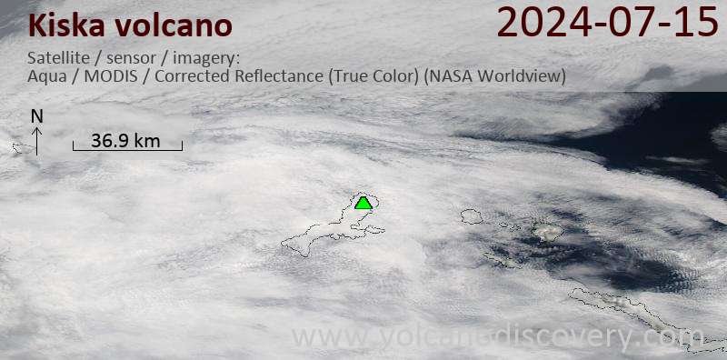
Últimas imágenes satelitales

kiska imagen satelital sat1kiska imagen satelital sat2

Kiska Volcán Mapas

Below is a selection of maps showing the location and surroundings of the volcano at various resolutions based on aerial-imagery / terrain maps. Feel free to use them for non-commercial purposes on your blog or website as long as you credit them with a link back to this page (click to copy it).
Satellite/aerial-type map of Kiska volcano (world scale)
Terrain-type map of Kiska volcano (world scale)
Satellite/aerial-type map of Kiska volcano (region scale large)
Terrain-type map of Kiska volcano (region scale large)
Satellite/aerial-type map of Kiska volcano (region scale medium)
Terrain-type map of Kiska volcano (region scale medium)
Satellite/aerial-type map of Kiska volcano (region scale small)
Terrain-type map of Kiska volcano (region scale small)
Satellite/aerial-type map of Kiska volcano (local scale large)
Terrain-type map of Kiska volcano (local scale large)
Satellite/aerial-type map of Kiska volcano (local scale medium)
Terrain-type map of Kiska volcano (local scale medium)
Satellite/aerial-type map of Kiska volcano (local scale small)
Terrain-type map of Kiska volcano (local scale small)
Satellite/aerial-type map of Kiska volcano (scale of 10s of km)
Terrain-type map of Kiska volcano (scale of 10s of km)
Satellite/aerial-type map of Kiska volcano (scale of 20-40 km)
Terrain-type map of Kiska volcano (scale of 20-40 km)
Satellite/aerial-type map of Kiska volcano (scale of approx. 10-20 km)
Terrain-type map of Kiska volcano (scale of approx. 10-20 km)
Satellite/aerial-type map of Kiska volcano (scale of 5-10 km)
Satellite/aerial-type map of Kiska volcano (scale of few kilometers)
Volcanoes & Earthquakes - new app for Android
Guaranteed tours
9-25 jun 2025: Volcanoes and Spices - Halmahera N-Sulawesi (Indonesia)
7-22 jul 2025: From Krakatau to Bali - Java (Indonesia)
7-23 jul 2025: Volcanoes and Spices - Halmahera N-Sulawesi (Indonesia)
1-17 ago 2025: Volcanoes and Spices - Halmahera N-Sulawesi (Indonesia)
1-14 oct 2025: Desert, salt and volcanoes - Danakil desert (Ethiopia)
4-12 oct 2025: From Stromboli to Etna - Sicily and Eolian Islands (Italy)
6-21 oct 2025: From Krakatau to Bali - Java (Indonesia)
3-19 nov 2025: Volcanoes and Spices - Halmahera N-Sulawesi (Indonesia)
= spaces available   = guaranteed   = few spaces left   = booked out

No news in this list.

En esta página:

Try our free app!
Volcanoes & Earthquakes - new app for Android
Android | iOS version

More on VolcanoDiscovery

Why is there advertising on this site?

Support us - Help us upgrade our services!

We truly love working to bring you the latest volcano and earthquake data from around the world. Maintaining our website and our free apps does require, however, considerable time and resources.
We need financing to increase hard- and software capacity as well as support our editor team. We're aiming to achieve uninterrupted service wherever an earthquake or volcano eruption unfolds, and your donations can make it happen! Every donation will be highly appreciated. If you find the information useful and would like to support our team in integrating further features, write great content, and in upgrading our soft- and hardware, please make a donation (PayPal).

Planned features:Thanks to your past donations, these features have been added recently:
Download and Upgrade the Volcanoes & Earthquakes app to get one of the fastest seismic and volcano alerts online:
Android | IOS
Thank you!
Sources: VolcanoDiscovery / VolcanoAdventures and other sources as noted.
Use of material: Most text and images on our websites are owned by us. Re-use is generally not permitted without authorization. Contact us for licensing rights.
Volcanoes & Earthquakes
VolcanoDiscovery Home
Volcanes | Sismos | Fotos | News | | Shop | App
Adventure & Study Travel
Tours to Volcanoes and Volcanic Areas: walking tours, photo tours, study tours
Tours & Dates | FAQ | About us
Get our newsletter!
Company info
Contact | Legal info | Terms & conditions
Follow us
Follow us on facebook Follow us on Instagram Follow us on Bluesky Follow us on Twitter Visit our Youtube channel
EN | DE | EL | ES | FR | IT | RU
VolcanoDiscovery GmbH, Germany, Reg. nr.: HRB 103744, EU Tax Id: DE 297 465 123 owned and created by
Dr. Tom Pfeiffer, volcanologist, volcano photographer, tour organizer member of
IAVCEI
IAVCEI
Vulkanologische Gesellschaft
Volcanological Society
Ecotourism Greece
Ecotourism Greece
RUV insurance
Insured by R+V
VolcanoDiscovery © 2004- All Rights Reserved | Privacy - Cookie Settings