Epi Volcano
Updated: 28 avril. 2024 12:57 GMT -
Stratovolcanoes 833 m / 2,733 ft
Vanuatu, -16.68°S / 168.37°E
Condition actuelle: normal / en sommeil (1 sur 5)
Vanuatu, -16.68°S / 168.37°E
Condition actuelle: normal / en sommeil (1 sur 5)
Last update: 13 déc. 2023 (Smithsonian / USGS Weekly Volcanic Activity Report)
[smaller] [larger]
Eruptions du volcan Epi: 2004
Derniers séismes proches
| Heure | Mag. / Profondeur | Distance / Lieu | |||
Introduction
A large caldera, with submarine post-caldera cones active in historical time, lies off the eastern coast of Epi Island. Epi Island itself, located slightly west of the main New Hebrides volcanic arc, largely consists of two Quaternary volcanoes, Mount Allombei on the west and Pomare (Tavani Kutali) on the east. Tavani Ruro, which forms an elongated eastern extension of Epi Island across a narrow isthmus, is related to Kuwae caldera to the east. Pomare volcano is the highest point on the island and has three well-preserved subsidiary cones to the east with youthful summit craters. Pomare volcano is truncated on its eastern side by the largely submarine East Epi caldera, which has been the source of all historical eruptions. Three small submarine basaltic and dacitic cones, known as Epi A, Epi B, and Epi C, are located along the northern rim of the breached caldera. Ephemeral islands were formed during eruptions in 1920 and 1953, and the summit of the shallowest cone, Epi B, was at 34 m below sea level at the time of a 2001 survey.---
Smithsonian / GVP volcano information
Epi Volcano Photos

Le dôme de lave de Chelona et le golfe d'Epidaure en Grèce (Photo: Tobias Schorr)
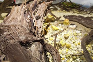
Bois mort et chenille empoisonnée dans le cratère du volcan Papadayan (Photo: Tobias Schorr)

Catepillar empoisonné dans le cratère Papadayan (Photo: Tobias Schorr)
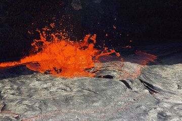
Les "fontaines de lave" sont des bulles de gaz quasi continues s'échappant du lac de lave : elles sont le moteur du lac, transportant l'énergie thermique de la chambre ma...
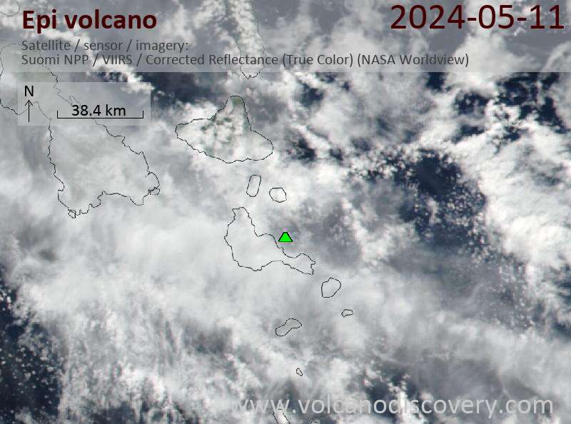
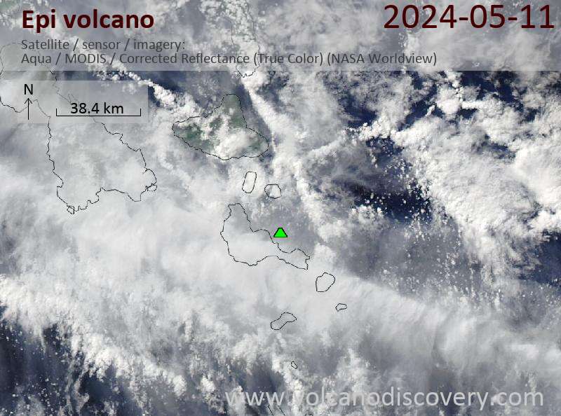
Latest satellite images