


Epi Volcano
Updated: Aug 29, 2025 03:11 GMT -
Stratovolcanoes
Vanuatu, -16.68°S / 168.37°E 
Summit height: 833 m / 2,733 ft
Current status: normal or dormant (1 out of 5)
Last update: 3 Apr 2025 (Smithsonian / USGS Weekly Volcanic Activity Report)
[smaller] [larger]
Epi volcano eruptions: 2004
Latest nearby earthquakes
| Date and Time | Mag / Depth | Distance / Location | |||
|---|---|---|---|---|---|
Background
A large caldera, with submarine post-caldera cones active in historical time, lies off the eastern coast of Epi Island. Epi Island itself, located slightly west of the main New Hebrides volcanic arc, largely consists of two Quaternary volcanoes, Mount Allombei on the west and Pomare (Tavani Kutali) on the east. Tavani Ruro, which forms an elongated eastern extension of Epi Island across a narrow isthmus, is related to Kuwae caldera to the east. Pomare volcano is the highest point on the island and has three well-preserved subsidiary cones to the east with youthful summit craters. Pomare volcano is truncated on its eastern side by the largely submarine East Epi caldera, which has been the source of all historical eruptions. Three small submarine basaltic and dacitic cones, known as Epi A, Epi B, and Epi C, are located along the northern rim of the breached caldera. Ephemeral islands were formed during eruptions in 1920 and 1953, and the summit of the shallowest cone, Epi B, was at 34 m below sea level at the time of a 2001 survey.---
Smithsonian / GVP volcano information
Epi Volcano Photos

The Chelona lava dome and the gulf of Epidavros in Greece (Photo: Tobias Schorr)

Dead wood and a poison catepillar in the crater of Papadayan volcano (Photo: Tobias Schorr)

Poison catepillar in the Papadayan crater (Photo: Tobias Schorr)

"Lava fountains" are near-continuous gas bubbles escaping from the lava lake: they are the motor of the lake, transporting heat energy from the magma chamber to the surfa...
Significant volcanic eruptions: Epi volcano
In the past 10,000 years, Epi has had at least 9 confirmed eruptions, all documented by historical records or observations. Additionally, there are 6 uncertain or discredited eruptions from Epi volcano.
The table below lists all known eruptions (date in bold face) of Epi volcano in historic times and during the past 10,000 years. Updates on the most recent volcanic activity of Epi can be found on the news page of Epi volcano.
| Date | Note | VEI | Deaths | Damage | |
|---|---|---|---|---|---|
Historical obs./docs. | 1 | ||||
| 2023 Jan 31 (eruption | Tsunami recorded Historical obs./docs. | 0 | Info | ||
| Epi B Historical obs./docs. | 2 | ||||
Historical obs./docs. | 1? | ||||
Historical obs./docs. | 1? | ||||
?? | Uncertain Eruption | 0 | |||
| South flank of Epi B Historical obs./docs. | 0 | ||||
?? | Uncertain Eruption | 0 | |||
?? | Uncertain Eruption | 0 | |||
?? | Uncertain Eruption | 0 | |||
?? | Uncertain Eruption | 0 | |||
| Three locations Historical obs./docs. | 0 | ||||
| Epi B cone? Historical obs./docs. | 2? | ||||
?? | Uncertain Eruption | 0 | |||
| Epi B and other vents Historical obs./docs. | 3 | ||||
| Epi B cone Historical obs./docs. | 2 | ||||
| 1901 Aug 9 (eruptive episode | Tsunami recorded Historical obs./docs. | 0 | 1-50 (*) | moderate | Info |
(*) Estimated numbers
Remark:
Our list of volcanic eruptions closely follows the database of eruptions of the Smithsonian's Global Volcanism Project (GVP), the internationally most recognized data source for volcanic eruptions, but also includes significant eruptive episodes or related volcano events. "Volcanic eruptions" are usually to be understood as sequences of individual eruptive episodes that can follow each other, or even overlap (if several vents are involved), and can last many years, decades or even longer. For example, the current activity of Stromboli volcano is understood as a single eruption that has been ongoing since 1934.
Sources: NOAA National Centers for Environmental Information (NCEI), Global Significant Volcanic Eruptions Database. doi:10.7289/V5TD9V7K | Global Volcanism Project / Smithsonian Institution
Epi Volcano FAQ
+When was the last eruption of Epi volcano?
The last confirmed eruption of Epi occurred in 2023.
+How often does Epi volcano erupt?
Since 1920, Epi volcano has had at least 9 historically documented eruptions. This means that it erupts on average every 11.7 years.
+How active is Epi volcano at present?
Epi volcano is infrequently active: Since 1900, it has had 9 eruptions, and been active during 9 years out of 126 as of now. This means, Epi has been in eruption one in 14 years on average. The last eruption was in 2023 and ended 3 years ago.
+When was the largest eruption of Epi volcano?
The largest eruption of Epi volcano in historic times occurred in 1953. It ranks as a "vulcanian" eruption with a magnitude 3 on the VEI (Volcanic Explosivity Index) scale.
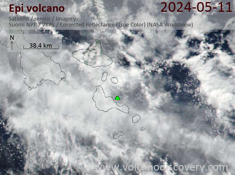
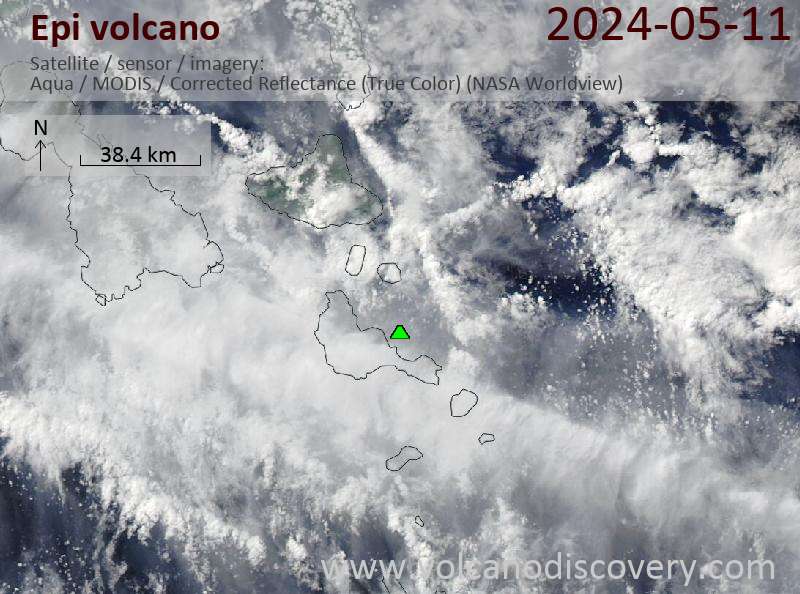
Latest satellite images
Epi Volcano Maps
Below is a selection of maps showing the location and surroundings of the volcano at various resolutions based on aerial-imagery / terrain maps. Feel free to use them for non-commercial purposes on your blog or website as long as you credit them with a link back to this page (click to copy it).

Satellite/aerial-type map of Epi volcano (world scale)

Terrain-type map of Epi volcano (world scale)

Satellite/aerial-type map of Epi volcano (region scale large)

Terrain-type map of Epi volcano (region scale large)

Satellite/aerial-type map of Epi volcano (region scale medium)

Terrain-type map of Epi volcano (region scale medium)

Satellite/aerial-type map of Epi volcano (region scale small)

Terrain-type map of Epi volcano (region scale small)

Satellite/aerial-type map of Epi volcano (local scale large)

Terrain-type map of Epi volcano (local scale large)

Satellite/aerial-type map of Epi volcano (local scale medium)

Terrain-type map of Epi volcano (local scale medium)

Satellite/aerial-type map of Epi volcano (local scale small)

Terrain-type map of Epi volcano (local scale small)

Satellite/aerial-type map of Epi volcano (scale of 10s of km)

Terrain-type map of Epi volcano (scale of 10s of km)

Satellite/aerial-type map of Epi volcano (scale of 20-40 km)

Terrain-type map of Epi volcano (scale of 20-40 km)

Satellite/aerial-type map of Epi volcano (scale of approx. 10-20 km)

Terrain-type map of Epi volcano (scale of approx. 10-20 km)

Satellite/aerial-type map of Epi volcano (scale of 5-10 km)

Satellite/aerial-type map of Epi volcano (scale of few kilometers)


