Lolobau Volcano
Updated: 3 mai 2024 01:15 GMT -
caldera 858 m / 2,815 ft
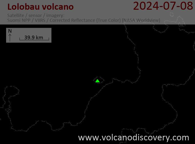
New Britain Island (Papouasie Nouvelle Guinée), -4.92°S / 151.16°E
Condition actuelle: normal / en sommeil (1 sur 5)
New Britain Island (Papouasie Nouvelle Guinée), -4.92°S / 151.16°E
Condition actuelle: normal / en sommeil (1 sur 5)
Lolobau volcano forms an island 6.5 km off the coast of New Britain. The island measures 13.7 km long (east-west) and 9.7 km wide (north-south) and is formed by a 6 km wide caldera containing the small lake Naoi, and a younger stratovolcano, Mt Lolobau.
Several vents within the caldera lies along an E-W-trending line on the eastern flank of Mount Lolobau and have been active during historical time. The latest eruptions took place during the early-20th century from vents on Lolobau's east flank inside the caldera. Fumarolic activity decreased between 1937 and 1950.
[smaller] [larger]
Eruptions du volcan Lolobau: 1911-12 (Sili), 1908?, 1904-05 (Sili Malo or summit?), 1100 ± 30 years (Hulu)
Derniers séismes proches
| Heure | Mag. / Profondeur | Distance / Lieu | |||
Introduction
The young cones inside the caldera include Giwu Peak, Sili (Siwi), Malo, Tiwongo and Tobal. The small 30 m high Hulu lava dome caps Mount Lolobau, which has a 0.8 x 1.1 km summit crater breached to the NE.Latest satellite images