Mashu Volcano
Updated: 27 avril. 2024 07:19 GMT -
caldera 855 m / 2,805 ft
Hokkaido (Japon), 43.51°N / 144.57°E
Condition actuelle: normal / en sommeil (1 sur 5)
Hokkaido (Japon), 43.51°N / 144.57°E
Condition actuelle: normal / en sommeil (1 sur 5)
Mashu volcano is a 7 km wide caldera in NE Hokkaido, Japan.
The caldera formed ca. 7000 years ago and truncates a stratovolcano which formed the ESE rim of the large Kutcharo caldera to the west. The steep-walled Mashu caldera contains Lake Mashu (摩周湖 Mashū-ko), known for its very clear water, and is one of the scenic highlights of Hokkaido.
[smaller] [larger]
Eruptions du volcan Mashu: 1080 ± 100 years, 350 AD ± 100 years, 150 AD ± 100 years, 2050 BC ± 40 years, 2800 BC ± 1000 years, 3550 BC ± 40 years, 5550 BC ± 100 years (Plinian eruption, caldera formation) (radiocarbon dated)
Derniers séismes proches
| Heure | Mag. / Profondeur | Distance / Lieu | |||
| 21 avril 08:37 (GMT +9) | 2.6 114 km | 12 km au sud-ouest | Info | ||
Introduction
A small andesitic stratovolcano, Kamuinupuri, was constructed beginning about 4000 years ago in the SE part of of the deep caldera lake. The latest dated eruption of the volcano was a large explosive eruption about 1000 years ago, which created a 1.2 x 1.5 km crater at the summit of Kamuinupuri.Kamuishu is a small island in the center of Lake Mashu. It is the tip of a mostly submerged dacitic lava dome.
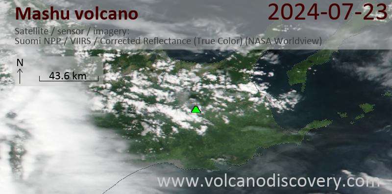
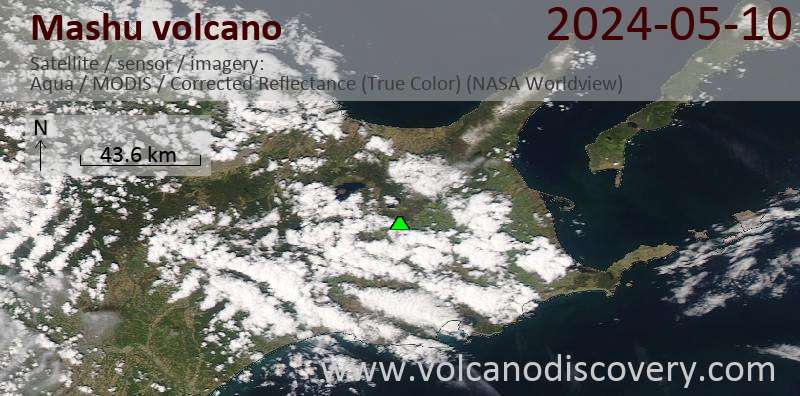
Latest satellite images