Mt Fuji Volcano
Updated: 29 avril. 2024 20:10 GMT -
stratovolcano 3776 m / 12,388
Honshu (Japon), 35.36°N / 138.73°E
Condition actuelle: normal / en sommeil (1 sur 5)
Honshu (Japon), 35.36°N / 138.73°E
Condition actuelle: normal / en sommeil (1 sur 5)
Last update: 8 déc. 2021
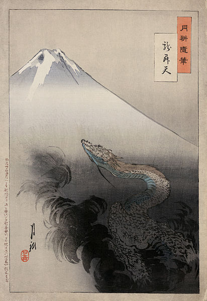
"Ryu sho ten" or "Ryu shoten" (Dragon rising to the heavens), also known as "Gekko Zuihitsu" (Gekko's Sketch), a Ukiyo-e print from Ogata Gekko's Views of Mt. Fuji. A dragon rises out of smoke near Mt. Fuji, ascending towards the sky.
Mount Fuji (Fuji-san, 富士山 in Japanese) is the highest volcano and highest peak in Japan and considered one of the 3 Holy Mountains (along with Mount Tate and Mount Haku). Fuji is a perfect, beautiful stratovolcano about 60 miles south-west of Tokyo, with an exceptionally symmetrical shape making it into famous symbol of Japan and an important element in Japanese art. It is a popular destination for excursions. More than 200,000 people climb to the top of the Mt Fuji every year. The last eruption of Mt Fuji was in 1707–08. Between 2000 and 2001, seismic activity under the volcano was at slightly elevated levels, rising concern about a possible reawakening of the volcano.
[smaller] [larger]
Eruptions du volcan Mt Fuji: 1707-08, 1700, 1627(?), 1560, 1511, 1427(?), 1083, 1032, 1017(?), 999(?), 993(?), 952(?), 937(?), 932, 870, 864-65, 830, 826, 802, 800, 781
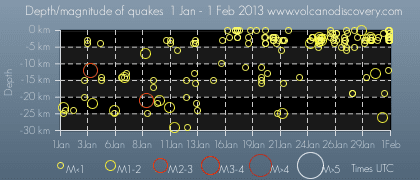
Derniers séismes proches
| Heure | Mag. / Profondeur | Distance / Lieu | |||
| 30 avril 01:15 (GMT +9) | 3.0 13 km | 14 km à l'ouest | Info | ||
| vendredi, 26 avril 2024 GMT (1 séisme) | |||||
| 26 avril 19:17 (GMT +9) | 2.5 182 km | 14 km au sud-ouest | Info | ||
Introduction
Mt Fuji has a complex geologic origin. The large stratovolcano has a base diameter of almost 50 km and culminates in a 500 m wide and 250 m deep summit crater. The volcano overlies several older volcanoes, whose remnants form irregularities on Fuji's symmetrical profile, including Komitake and Ko-Fuji (Older Fuji) which was active 100,000 - 10,000 years ago.The present-day, mainly basaltic edifice started to grow about 11-8,000 years ago when large lava flows were erupted that still form 25% of the volume of the edifice today.
From 8000 to 4500 years ago, Fuji's activity was mainly explosive before another effusive cycle took place between 4500 to 3000 years ago. In the past 3000 years, large explosive eruptions occurred in between phases of milder effusive activity. From 3000 to 2000 years ago, most eruptions took place at the summit, while a large number of flank eruptions occurred during the past 2000 years, forming more than 100 flank cones.
The last confirmed eruption of Mt Fuji took place in 1707 and was Fuji's largest during historical time. It deposited ash as far as present-day Tokyo and formed a large new crater on the east flank.
(Source: USGS / GVP)
Mt Fuji Volcano Photos
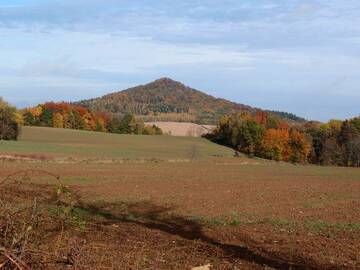
Le magnifique cône volcanique d'Ostrzyca Proboszczowicka est également connu sous le nom de Fujiyama silésien. Montagnes Kaczawskie, Pologne (Photo: Janka)
Eruptions du volcan Mt Fuji
1707 l'éruption du mont Fuji
Le 26 Octobre 1707, une nouvelle éruption s'est annoncé avec une grande amplitude 8,4 tremblement de terre dévastateur île de Honshu, suivie par plusieurs tremblements de terre plus petites senti près du mont Fuji.
L'éruption a commencé le 16 Décembre 1707 à partir d'un nouvel évent sur le flanc sud-est du volcan en éruption une colonne de sous-plinienne de cendres et de ponces, se transformant en fontaines de lave basaltique, après 6 heures dans l'éruption. Le premier jour de l'éruption, 72 maisons et trois temples bouddhistes ont été détruits dans la ville Subassiri 10 km du volcan.
Ash est tombé dans toute la plaine du sud de Kanto, Tokyo, et sur les zones du nord-ouest l'océan Pacifique 280 km du volcan. Le volume total a éclaté sur 16 jours a été estimé à 0,68 km cube de magma.
Des explosions violentes ont été enregistrées jusqu'à 25-27 Décembre, avant l'éruption s'est calmé et s'est terminée le 1er Janvier 1708.
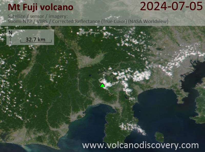
Latest satellite images