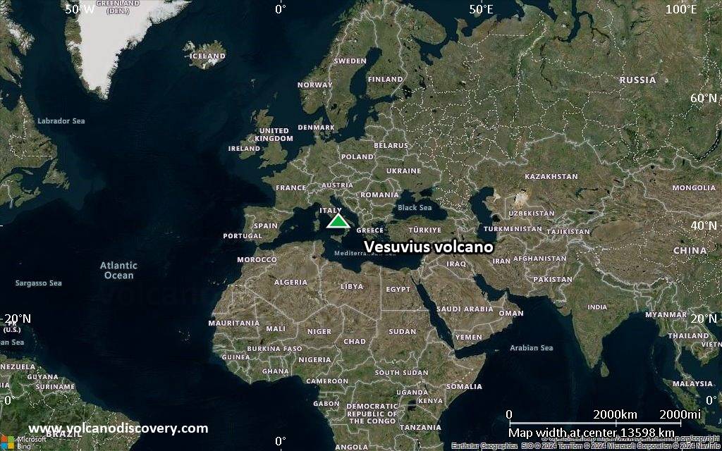
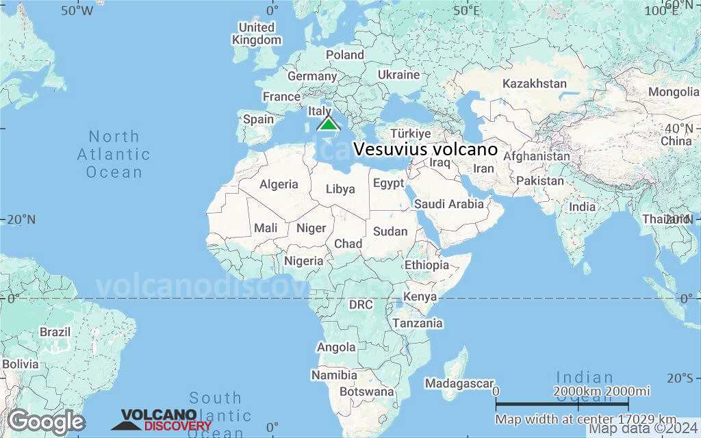
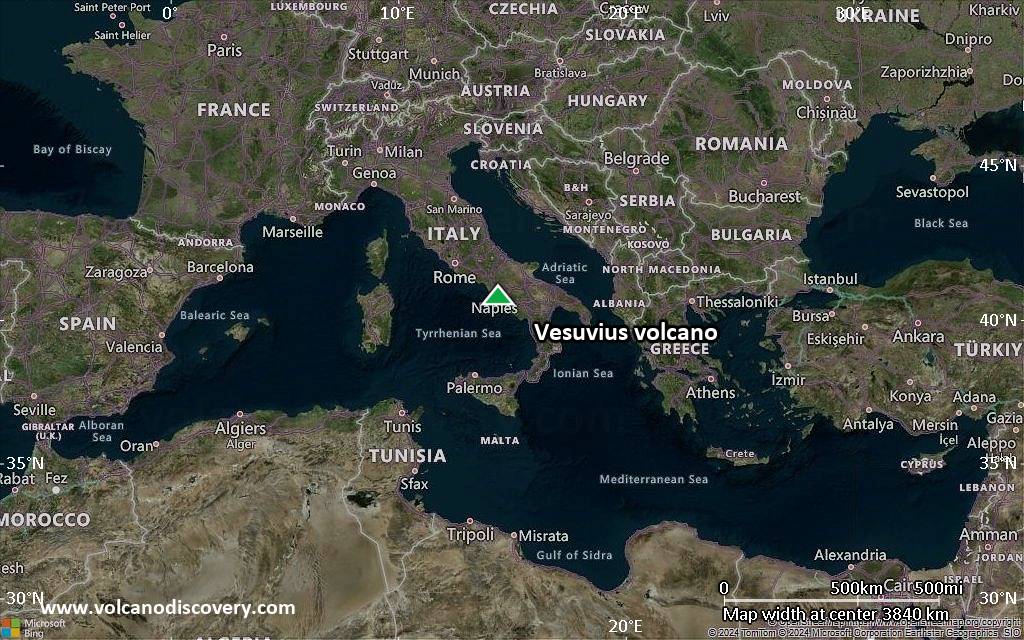
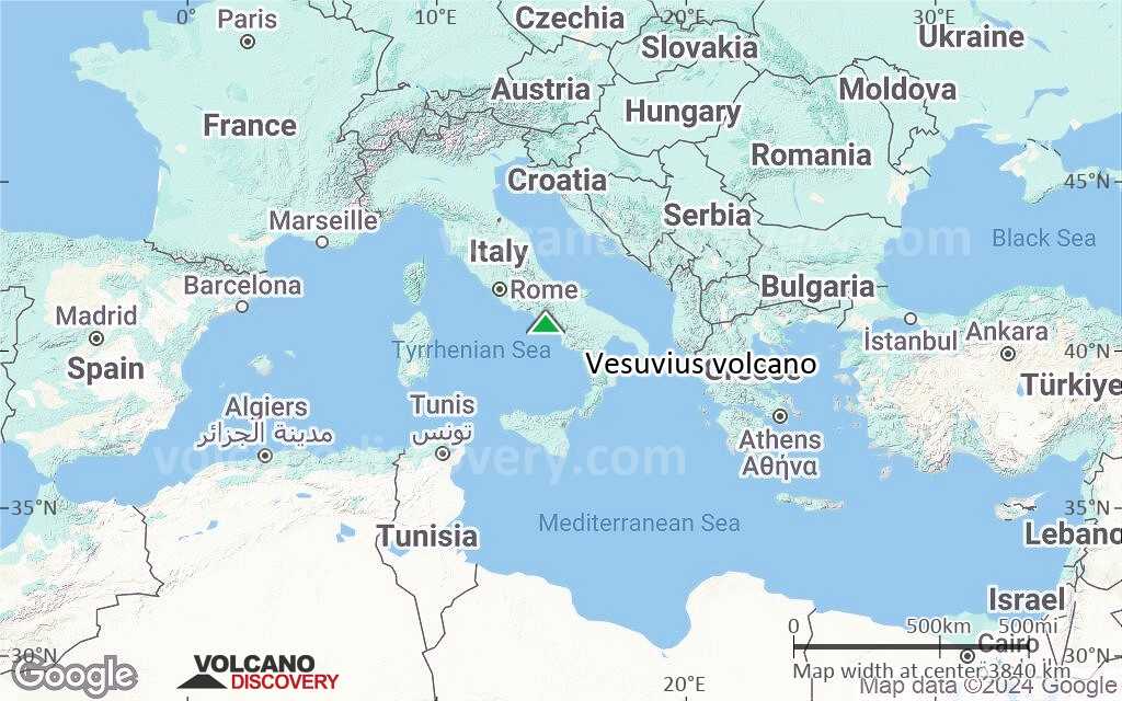
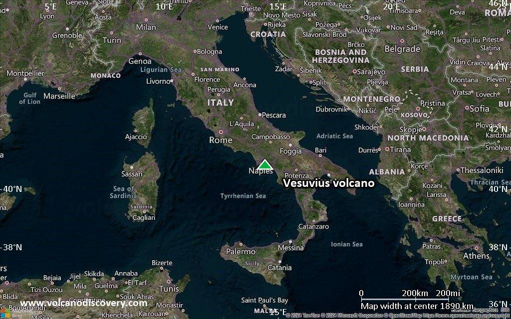
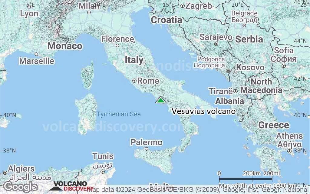
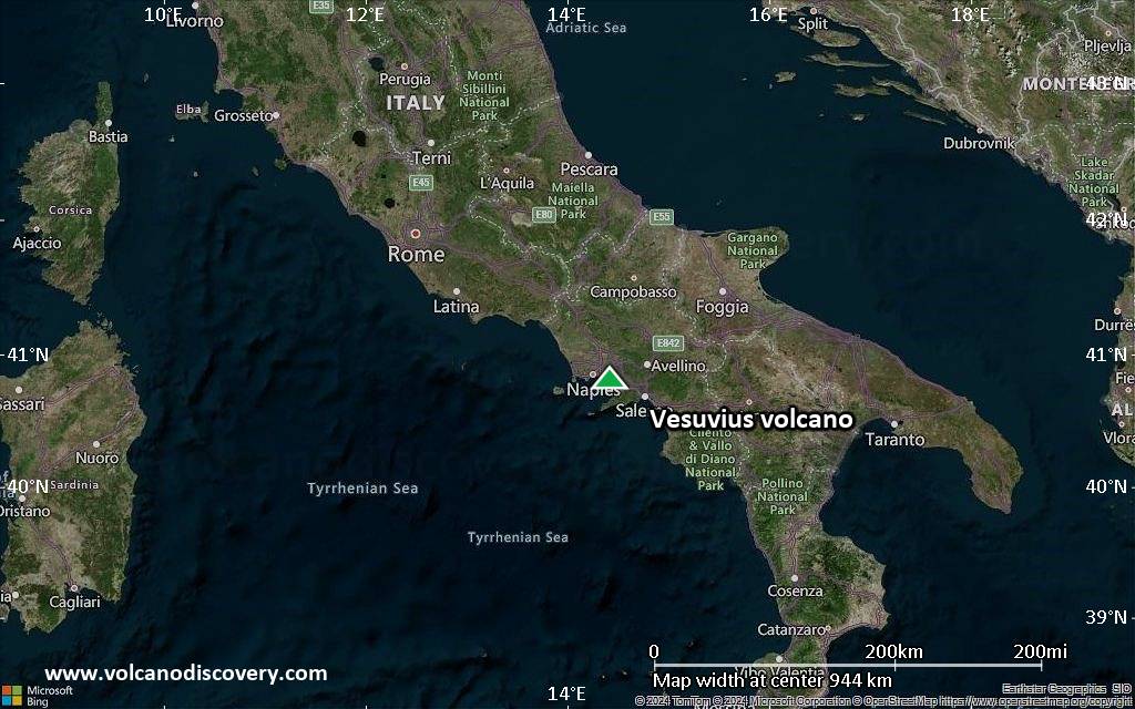
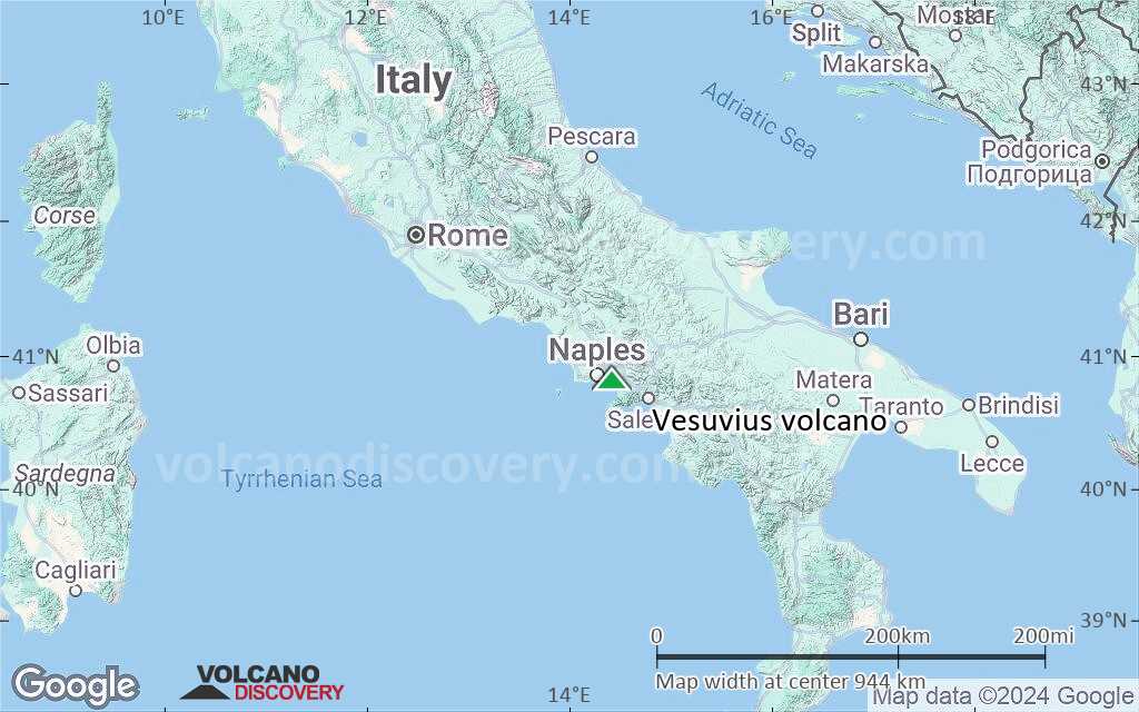
Vesuvius Vulcano
1. Plinian (such as the 79 AD Pompeii eruption): extremely large explosive eruptions producing several to several tens of cubic km of magma in a very short time.
2. Sub-Plinian explosive eruptions (such as the 1631 eruption). They are similar in style, but smaller than true Plinian events.
3. Strombolian and Vulcanian eruptions (several examples during the 1631-1944 period, e.g. 1906 and 1944). Such eruptions produce local heavy tephra falls, small pyroclastic flows, as well as large fire fountains and lava flows.
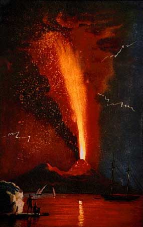
4. The smallest, but most frequent type of activity observed at Vesuvius is persistent Strombolian to Hawaiian-style activity that prevailed during much of the period between 1631 and 1944. This activity is usually limited to the central crater, and sometimes to flank vents. Lava flows and lava fountains have been frequently observed during such periods of activity.
Eruzioni del vulcano Vesuvius: 1796 - 1822, 1824 - 1834, 1835 - 1839, 1841 - 16 February 1850, 1854 - 1855, 1855 - 1861, 1864 - 1868, 1870 - 1872, 1875 - 1906, 1913 - 4 April 1944
Latest nearby earthquakes
| Data e ora | Mag / Prof. | Distanza / Posizione | |||
|---|---|---|---|---|---|
| 14 giu 01:11 (Tempo Universale) | 1.2 1.9 km | 25 km a ovest | Info | ||
| venerdì, 13 giugno 2025 GMT (6 sismi) | |||||
| 14 giu 00:54 (GMT +2) | 0.1 0.1 km | 3.3 km a nord | Info | ||
| 14 giu 00:51 (GMT +2) | 0.1 0.1 km | 1.2 km a nord | Info | ||
| 13 giu 22:53 (GMT +2) | 0.1 1.5 km | 24 km a ovest | Info | ||
| 13 giu 20:05 (GMT +2) | 0.1 1 km | 26 km a ovest | Info | ||
| 13 giu 18:52 (GMT +2) | 0.1 0 km | 24 km a ovest | Info | ||
| 13 giu 14:35 (GMT +2) | 0.5 1.1 km | 25 km a ovest | Info | ||
| domenica, 8 giugno 2025 GMT (1 sismo) | |||||
| 8 giu 05:14 (Tempo Universale) | 2.1 1 km | 24 km a ovest | Info | ||
| sabato, 7 giugno 2025 GMT (1 sismo) | |||||
| 7 giu 21:45 (GMT +2) | 2.5 0.3 km | 24 km a ovest | Info | ||
Background
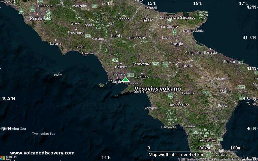
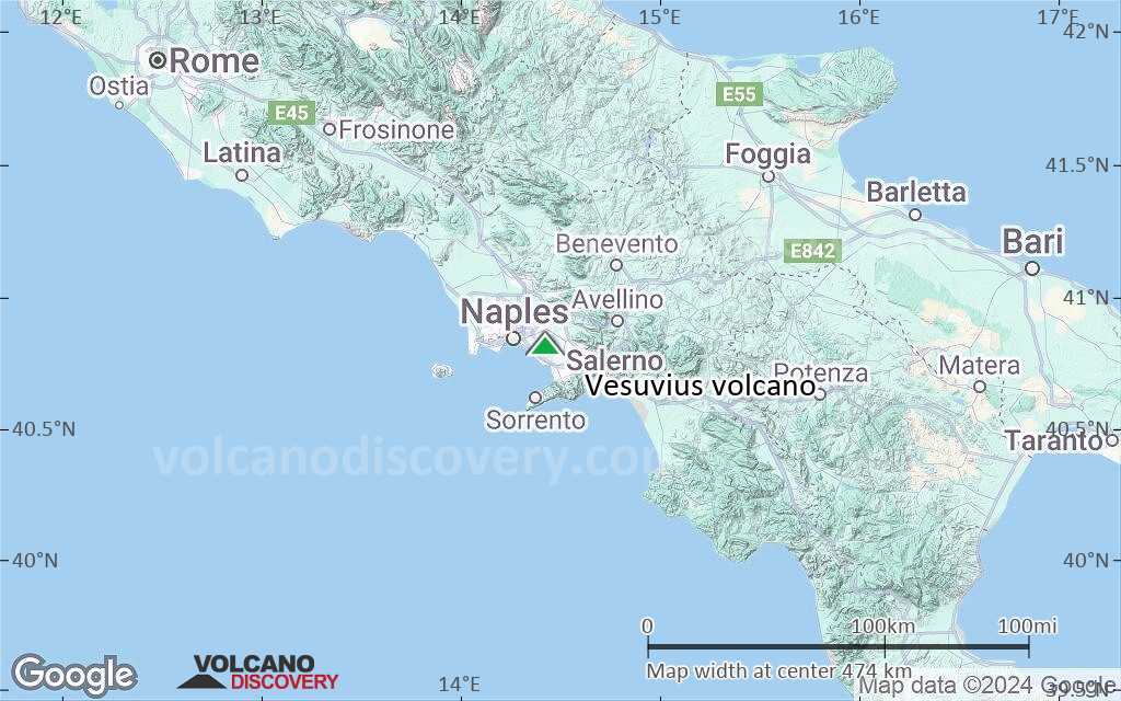
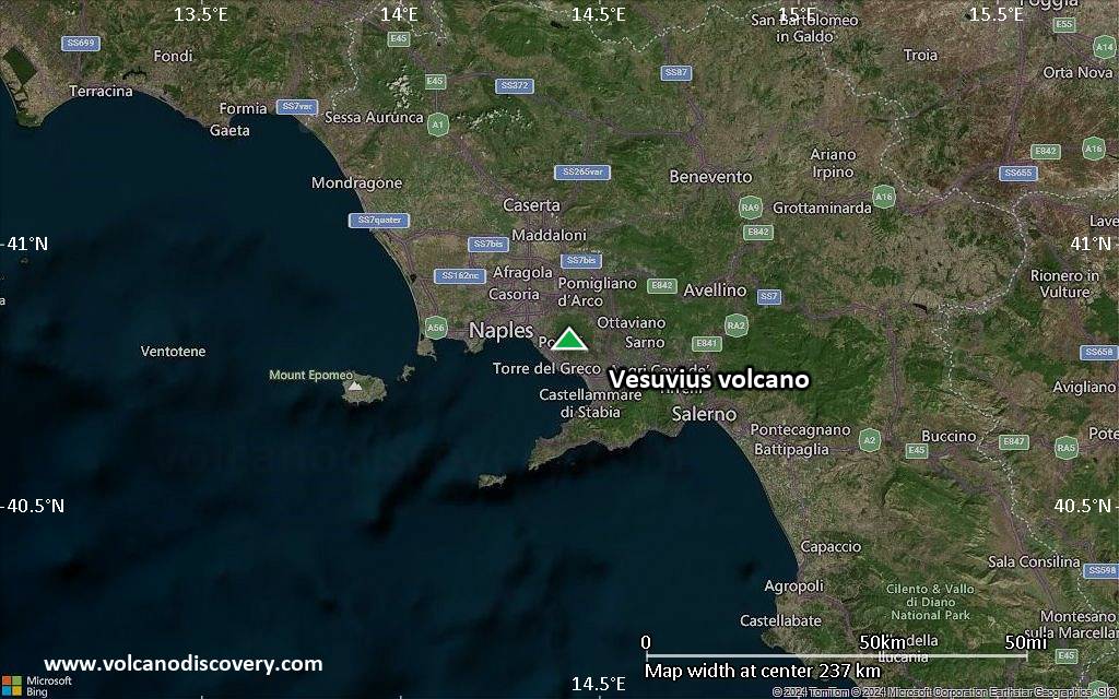
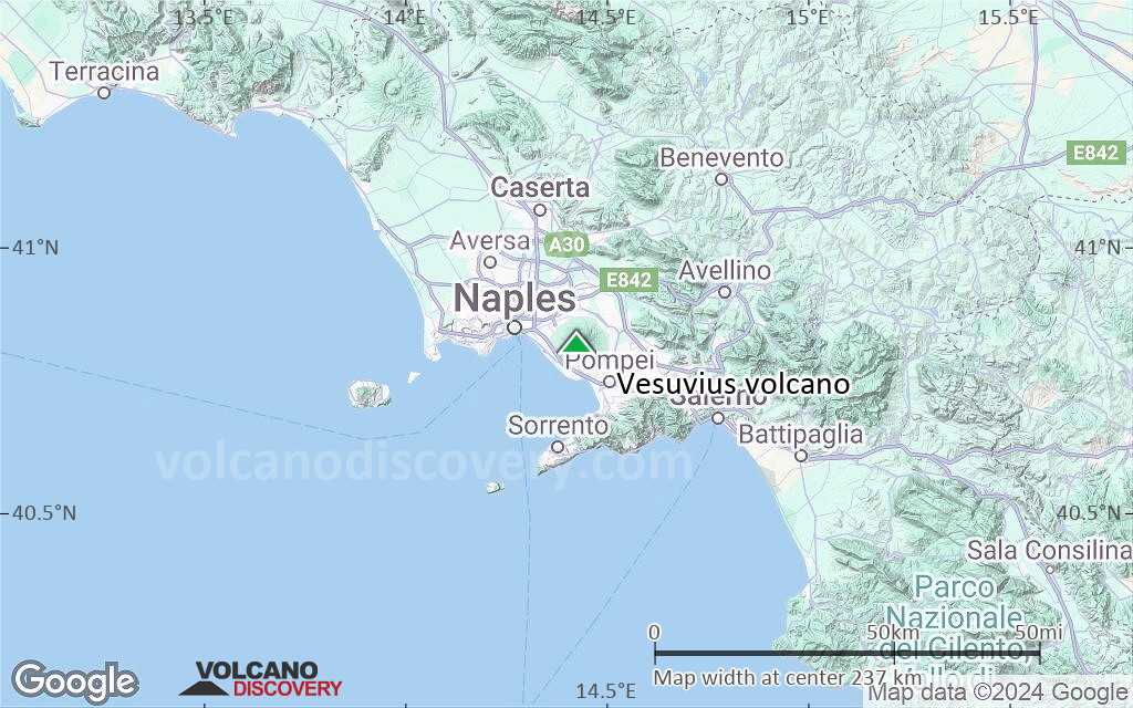
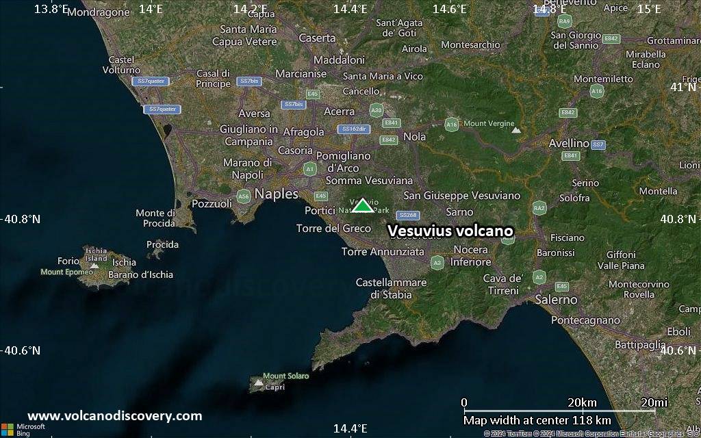
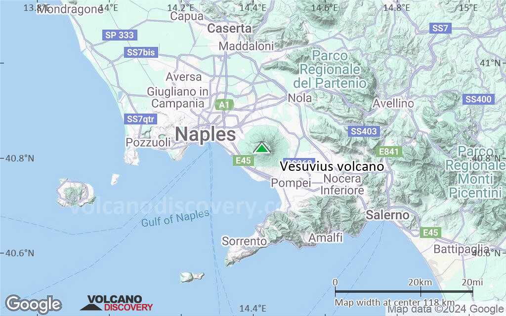
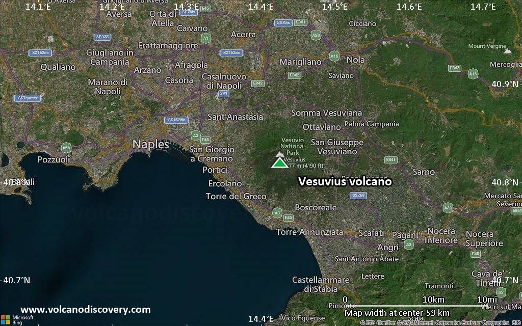
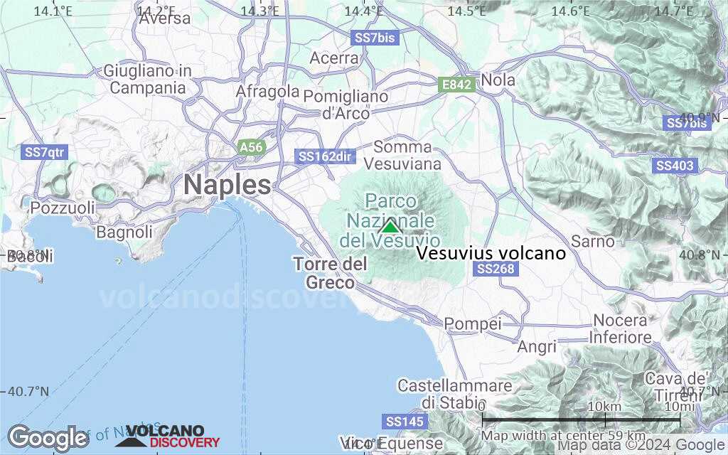
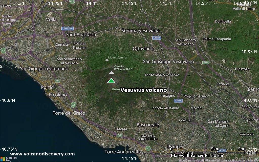
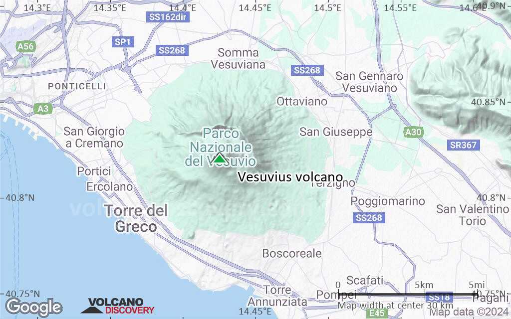
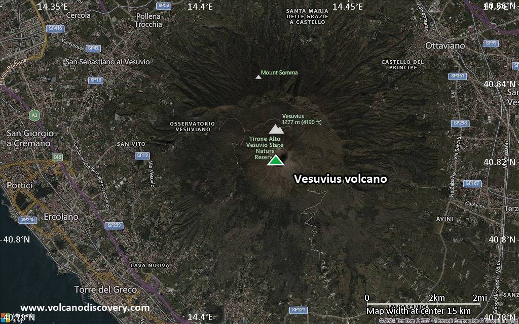
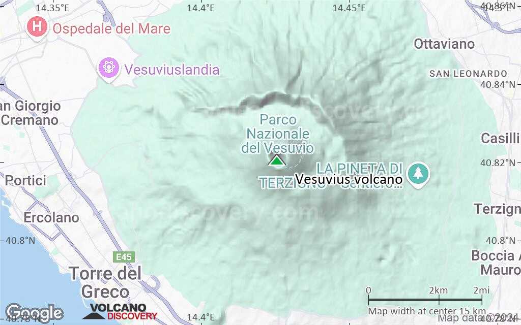
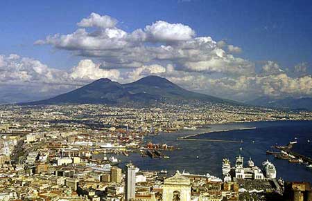
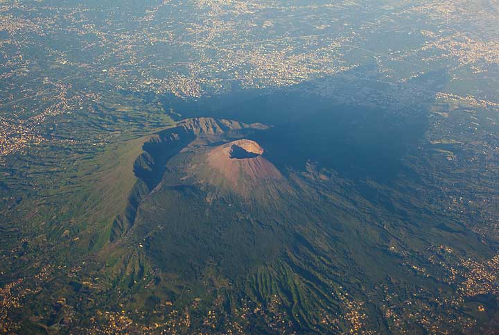
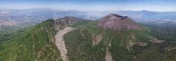
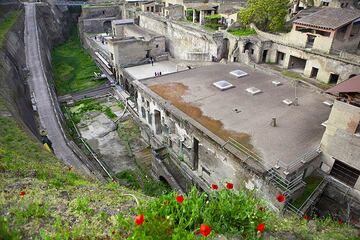
Vesuvius ("Vesuvio" in Italian) is probably not only the most famous, but also one, if not the most dangerous volcano on Earth. The first eyewitness account of a volcanic eruption that has been preserved has come to us from Vesuvius: In 79 AD, after a century-long slumber, the volcano woke up with terrifying power in an eruption that buried several Roman towns like Pompeii and Herculaneum under several meters of ash. Today, parts of these cities have been excavated and are among the most remarkable archaeological sites of the world, allowing us to have an excellent view on Roman life and culture, where time and life had been frozen in a moment.Geologically, Mt. Vesuvius, or more correctly the Somma-Vesuvius complex, is about 400,000 years old, as dating of lava sampled drilled from over 1,300 m depth have shown. Present-day Vesuvius is a medium-sized typical stratovolcano volcano reaching a height of 1,281 m a.s.l. It comprises the older volcano, the Somma, whose summit collapsed (likely during the 79 AD eruption), creating a caldera, and the younger volcano, Vesuvius, which since then has re-grown inside this caldera and formed a new cone. Although in a dormant phase at present, Vesuvius is an extremely active volcano and particular for its unusually varied style of activity: it ranges from Hawaiian-style emission of very liquid lava, extreme lava fountains, lava lakes and lava flows, over Strombolian and Vulcanian eruptions to violently explosive, Plinian eruptions that produce large pyroclastic flows.
When one thinks about Vesuvius volcano today, one aspect is eminent: due to the dense population surrounding it, and ever climbing higher and higher up on its slopes, it is certainly among Earth's most dangerous volcanoes. It is estimated that ore than 500,000 people live in the zone immediately threatened by a future eruption. When this happens is not known; it is possible that Vesuvius has entered into one of its typically century-long lasting phases of dormancy, but volcanoes can be unpredictable. The situation in the Gulf of Naples is further complicated by the presence of another highly active, and potentially as dangerous volcano: the Campi Flegrei, located immediately under a large part of the modern city of Naples proper.
Vesuvius Volcano Photos


Eruzioni vulcaniche significative: Vesuvius volcano
Additionally, there are 7 uncertain or discredited eruptions from Vesuvius volcano.
| Data | Nota | VEI | Deceduti | Danni | |
|---|---|---|---|---|---|
| Summit and upper flanks Osservazioni/documentazioni storiche | 3 | sconosciuto | |||
| 1944 Mar 27 (eruzione | Osservazioni/documentazioni storiche | 2 | 27 | sconosciuto | Info |
| Summit and upper flanks Osservazioni/documentazioni storiche | 4? | sconosciuto | |||
| 1906 Apr 4 (eruzione | Tsunami registrato Osservazioni/documentazioni storiche | 3 | 350 | sconosciuto | Info |
| 1905 Mar 10 (eruzione | Osservazioni/documentazioni storiche | 2 | 1 | sconosciuto | Info |
?? | Eruzione incerta | 1 | sconosciuto | ||
| 1873 (episodio eruttivo | Osservazioni/documentazioni storiche | 0 | 9 | sconosciuto | Info |
| Summit and upper NW and south flanks Osservazioni/documentazioni storiche | 3 | sconosciuto | |||
| 1872 Apr 24 (eruzione | Osservazioni/documentazioni storiche | 3 | 9 | sconosciuto | Info |
| Summit and upper SE flank Osservazioni/documentazioni storiche | 2 | sconosciuto | |||
| Summit and SW flank (300-225 m) Osservazioni/documentazioni storiche | 3 | sconosciuto | |||
| Summit and upper N flank Osservazioni/documentazioni storiche | 3 | sconosciuto | |||
| Summit, upper N and E flanks Osservazioni/documentazioni storiche | 2 | sconosciuto | |||
| Summit, upper east and west flanks Osservazioni/documentazioni storiche | 3 | sconosciuto | |||
| Summit, upper E and S flanks Osservazioni/documentazioni storiche | 3 | sconosciuto | |||
| Summit and upper flanks Osservazioni/documentazioni storiche | 3? | sconosciuto | |||
| 1813 Mag (episodio eruttivo | Tsunami registrato Osservazioni/documentazioni storiche | 2 | sconosciuto | Info | |
| 1805 Ago 11 (eruzione | Osservazioni/documentazioni storiche | 2 | 4 | sconosciuto | Info |
| Summit and SW flank (550-300 m) Osservazioni/documentazioni storiche | 3? | sconosciuto | |||
| 1794 Giu 15 (eruzione | Osservazioni/documentazioni storiche | 3 | 400 | pesante | Info |
| Summit, N, NE, SE and E flanks Osservazioni/documentazioni storiche | 3? | sconosciuto | |||
| 1779 Ago 8 (eruzione | Osservazioni/documentazioni storiche | 2 | 1-50 (*) | sconosciuto | Info |
| Summit, upper SW, SE, and NNW flanks Osservazioni/documentazioni storiche | 3 | sconosciuto | |||
| Summit, upper SE, E and lower S flanks Osservazioni/documentazioni storiche | 3 | sconosciuto | |||
Osservazioni/documentazioni storiche | 1 | sconosciuto | |||
| Summit and SW flank Osservazioni/documentazioni storiche | 3? | sconosciuto | |||
| 1737 Mag 20 (eruzione | Osservazioni/documentazioni storiche | 2 | 2 | moderato | Info |
Osservazioni/documentazioni storiche | 3 | sconosciuto | |||
| Summit, upper east and south flanks Osservazioni/documentazioni storiche | 3 | sconosciuto | |||
| Tsunami registrato Osservazioni/documentazioni storiche | 0 | sconosciuto | |||
| Summit and SW flank Osservazioni/documentazioni storiche | 3 | sconosciuto | |||
Vesuvius Volcano FAQ
+When was the last eruption of Vesuvius volcano?
The last confirmed eruption of Vesuvius occurred during 1913 - 1944.
+How often does Vesuvius volcano erupt?
Since 217 BC, Vesuvius volcano has had at least 46 historically documented eruptions. This means that it erupts on average every 49 years.
Many eruptions of Vesuvius have lasted more than one year. In total, the volcano has been in eruption during 327 out of 2242 years until now. In other words, Vesuvius has been active at least one in 6.9 years on average. Note that this value is likely an underestimate, because the known history of eruptions from Vesuvius is likely incomplete, especially further back in time.
+How active is Vesuvius volcano at present?
Vesuvius volcano is very active: Since 1900, it has had 39 eruptions, and been active during 39 years out of 126 as of now. This means, Vesuvius has been in eruption one in 3.2 years on average. The last eruption was from 1913 until 1944 and ended 81 years ago.
+When was the largest eruption of Vesuvius volcano?
The largest eruption of Vesuvius volcano in historic times occurred during 1631 AD - 1632 AD. It ranks as a plinian eruption with a magnitude 5 on the VEI (Volcanic Explosivity Index) scale. Eruption of this size are often catastrophic on a regional scale.
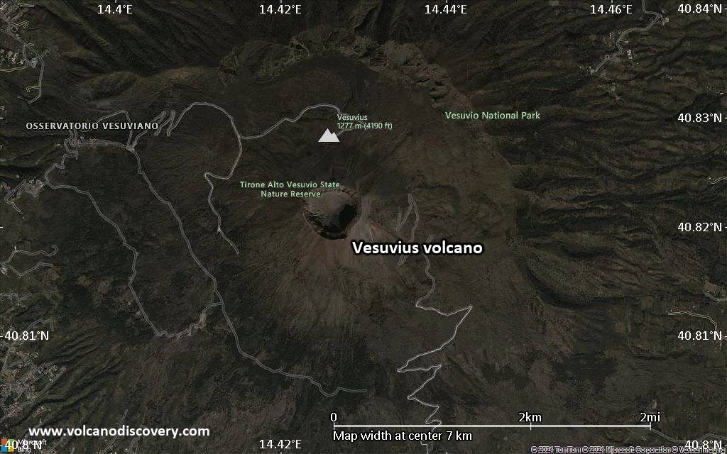
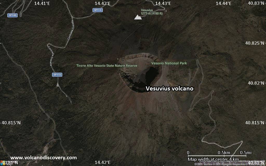
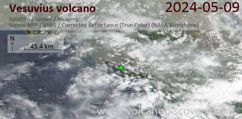
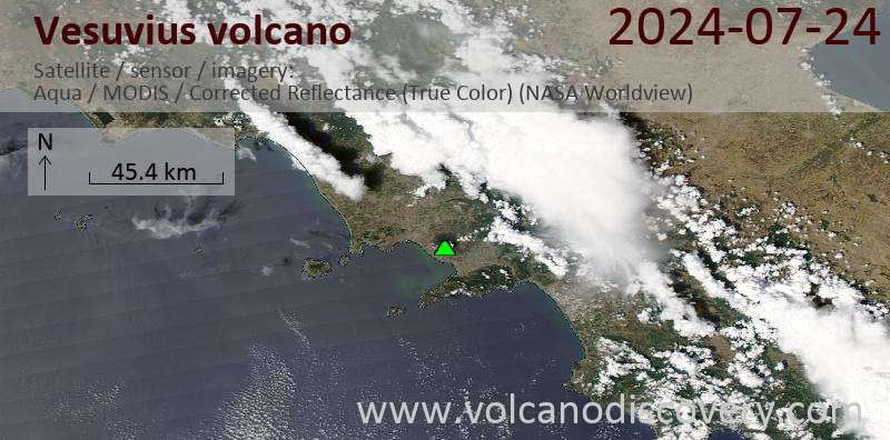
Ultime immagini satellitari
Price 3890 €
Price 3250 €
Vesuvius Vulcano Mappe