Taal Volcano
Taal volcano with its lake-filled 15x20 km wide Talisay (Taal) caldera is a beautiful caldera volcano, but also one of the most active and dangerous volcanoes of the Philippines. Taal has had some of the country's largest and deadliest eruptions: At least 6 eruptions during the recorded history of Taal since 1572 claimed fatalities, mostly from powerful pyroclastic flows, as well as tsunamis produced in the crater lake.
Taal volcano eruptions: 2020, 1977, 1976, 1970, 1969, 1968, 1967, 1966, 1965, 1911, 1904, 1903, 1885(?), 1878, 1874, 1873, 1842, 1825, 1808, 1790, 1754, 1749, 1731, 1729, 1716, 1715, 1709, 1707, 1645, 1641, 1635, 1634, 1609, 1591, 1572
Latest nearby earthquakes
| Date and Time | Mag / Depth | Distance / Location | |||
|---|---|---|---|---|---|
| Aug 1, 06:00 pm (Manila) | 2.7 4 km | 29 km (18 mi) to the SW | Info | ||
| Tuesday, July 29, 2025 GMT (3 quakes) | |||||
| Jul 30, 12:10 am (GMT +8) | 2.2 2 km | 30 km (19 mi) to the SW | Info | ||
| Jul 29, 11:41 am (Manila) | 4.2 10 km | 29 km (18 mi) to the SW | Info | ||
| Jul 29, 11:39 am (Manila) | 4.2 10 km | 29 km (18 mi) to the SW | Info | ||
Background
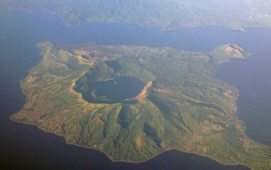
The Taal caldera is largely filled by Lake Taal, whose 267 sq km surface lies only 3 m above sea level. The maximum depth of the lake is 160 m, and contains several eruptive centers submerged beneath the lake. All historic eruptions took place from the 5-km-wide volcanic island in the northern-central part of the lake.The island is formed by overlapping stratovolcanoes, cinder cones and tuff rings (maars). Historic eruptions have seen the constant change and growth of the island.
Taal caused one of the worst volcano disasters in history: its eruption in 1911 killed 1334 people and caused ash fall as far as Manila city. Due to its devastating potential, Taal was declared one of the "Decade Volcanoes" in the Decade Volcanoes program of the 1990s in order to incentive study and monitoring of the volcano. Taal is today one of the most closely monitored volcanoes in the region. An increase in seismic activity under Taal was recorded in November 2006, followed by an increase in hot water springs in the crater in April 2007.
Aerial image of Taal Volcano Island credit: TheCoffee (Mike Gonzalez), CC BY-SA 3.0, via Wikimedia Commons
Significant volcanic eruptions: Taal volcano
There is one uncertain or discredited eruption in 1885 from Taal volcano.
| Date | Note | VEI | Deaths | Damage | |
|---|---|---|---|---|---|
Historical obs./docs. | ? | ||||
Historical obs./docs. | 1 | ||||
| Main Crater Historical obs./docs. | 2 | ||||
Historical obs./docs. | ? | ||||
Historical obs./docs. | 1 | ||||
Historical obs./docs. | 4 | ||||
| 2020 Jan 12 (eruption | Historical obs./docs. | 4 | 39 | heavy | Info |
| SW flank (near Mt. Tabaro) Historical obs./docs. | 2 | ||||
| SW flank (near Mt. Tabaro) Historical obs./docs. | 2 | ||||
| SW flank (near Mt. Tabaro) Historical obs./docs. | 1 | ||||
| SW flank (near Mt. Tabaro) Historical obs./docs. | 2 | ||||
| SW flank (near Mt. Tabaro) Historical obs./docs. | 2 | ||||
| SW flank (near Mt. Tabaro) Historical obs./docs. | 1 | ||||
| SW flank (near Mt. Tabaro) Historical obs./docs. | 3 | ||||
| SW flank (near Mt. Tabaro) Historical obs./docs. | 4 | ||||
| 1965 Sep 28 (eruption | Tsunami recorded Historical obs./docs. | 4 | 355 | light | Info |
Historical obs./docs. | 3 | ||||
| 1911 Jan 30 (eruption | Tsunami recorded Historical obs./docs. | 3 | 1,335 | heavy | Info |
| Base of south wall of main crater Historical obs./docs. | 1 | ||||
Historical obs./docs. | 2 | ||||
?? | Uncertain Eruption | ? | |||
Historical obs./docs. | 2 | ||||
Historical obs./docs. | 2 | ||||
| 1874 Jul 19 (eruption | Historical obs./docs. | 2 | 1-50 (*) | Info | |
Historical obs./docs. | 2 | ||||
Historical obs./docs. | 2 | ||||
Historical obs./docs. | 2 | ||||
Historical obs./docs. | 2 | ||||
Taal Volcano FAQ
+When was the last eruption of Taal volcano?
The last confirmed eruption of Taal occurred in 2024.
+How often does Taal volcano erupt?
Since 1572 AD, Taal volcano has had at least 39 historically documented eruptions. This means that it erupts on average every 11.6 years.
+How active is Taal volcano at present?
Taal volcano is relatively active: Since 1900, it has had 15 eruptions, and been active during 15 years out of 126 as of now. This means, Taal has been in eruption one in 8.4 years on average. The last eruption was in 2024 and ended 8 months ago.
+When was the largest eruption of Taal volcano?
The largest eruption known from the younger geological history of Taal volcano occurred around 3580 BC. It ranks as a sub-plinian eruption with a magnitude 4 on the VEI (Volcanic Explosivity Index) scale.
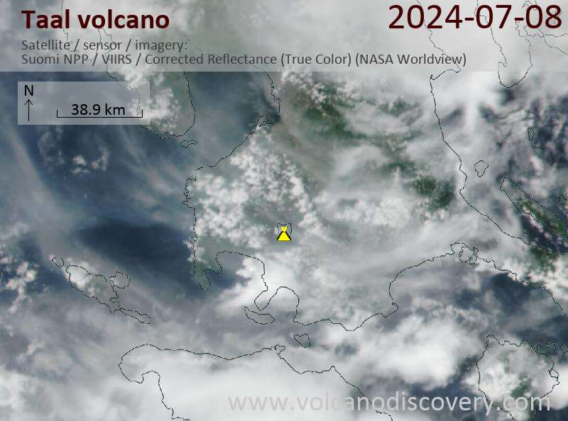
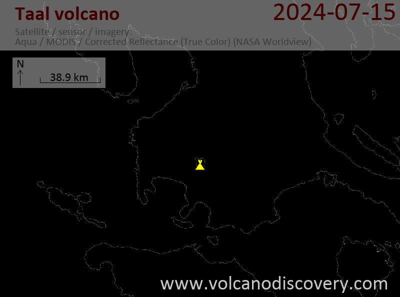
Latest satellite images
Taal Volcano Maps