Karkar Vulkan
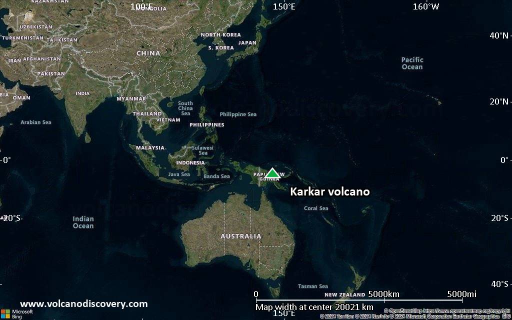
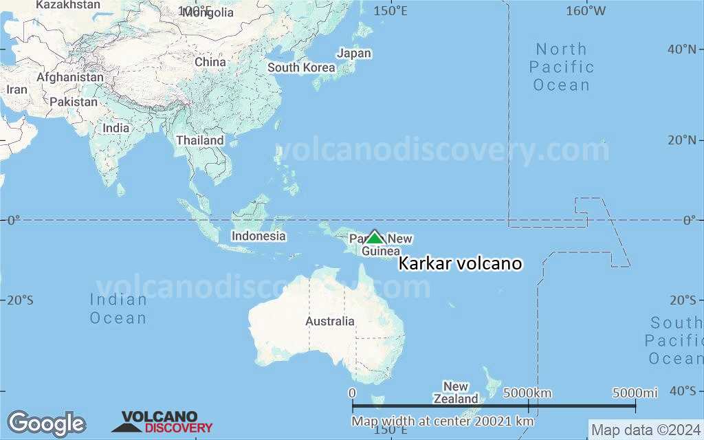
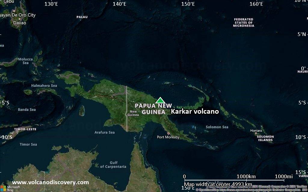
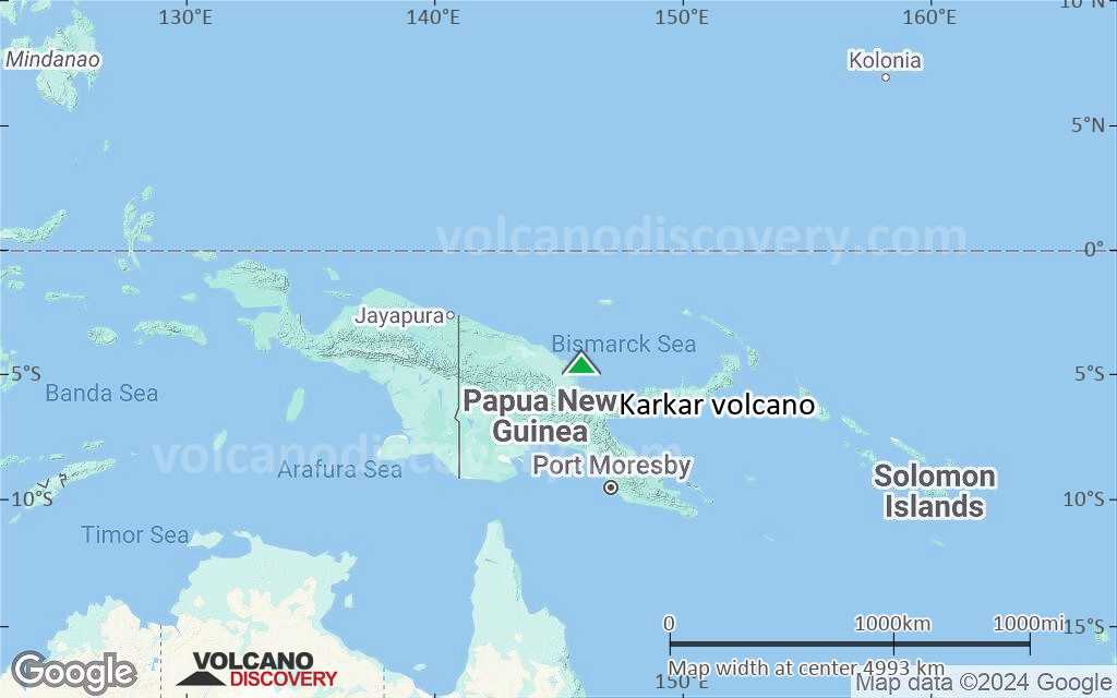
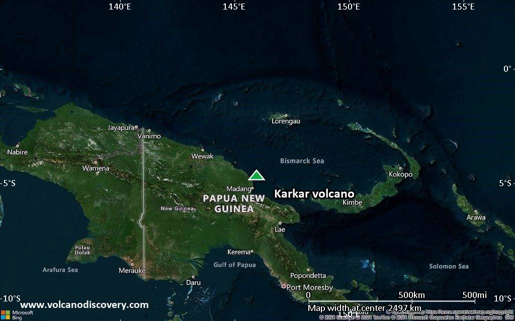
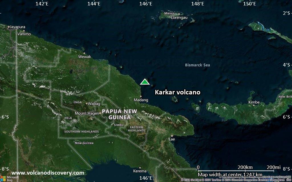
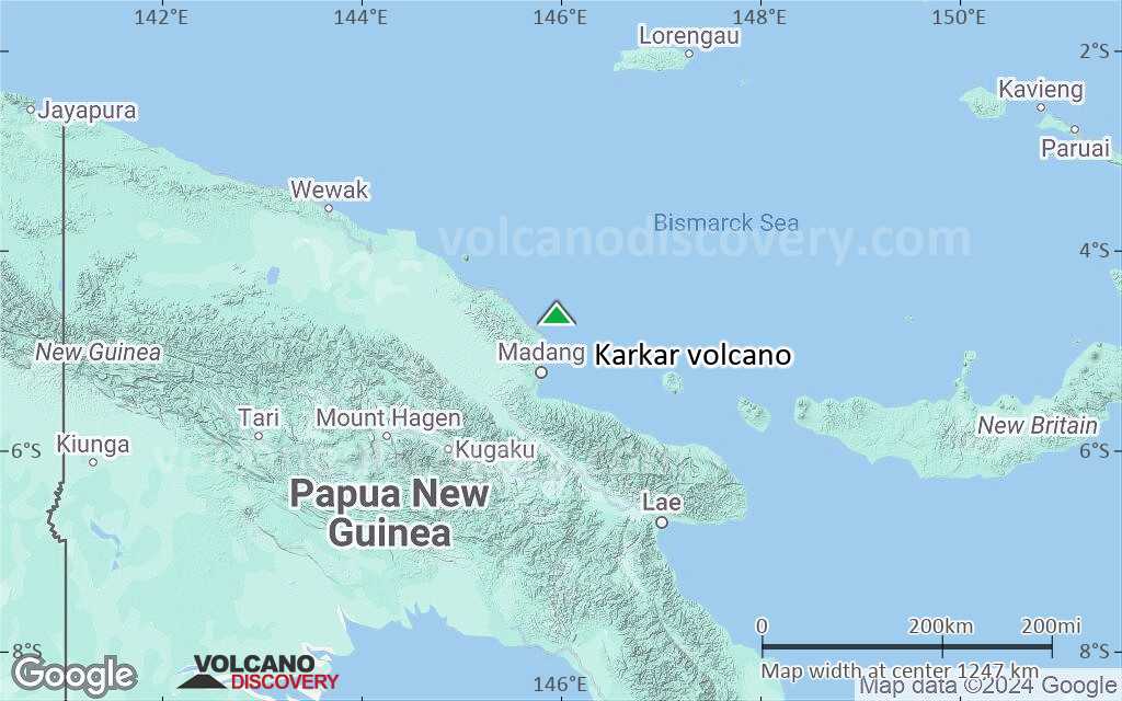
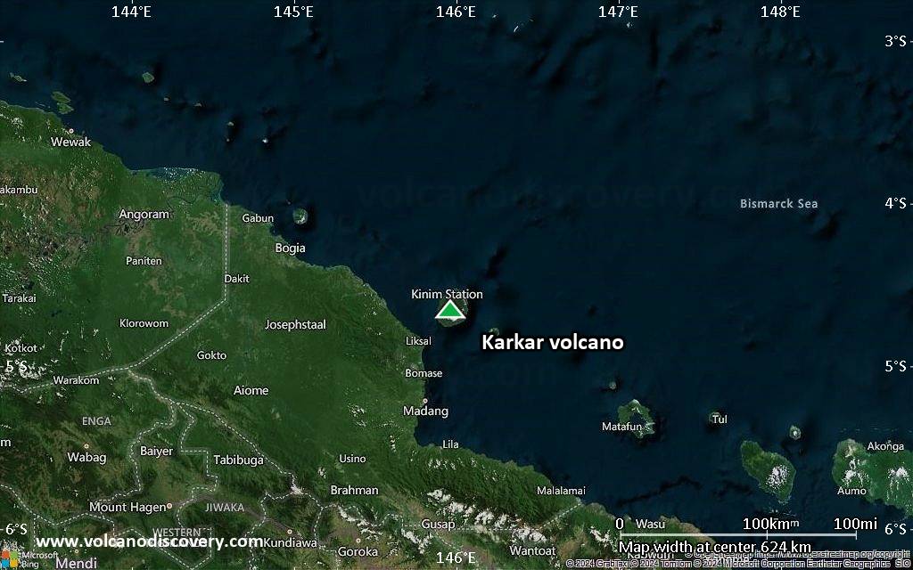
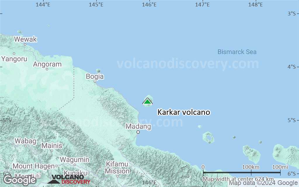
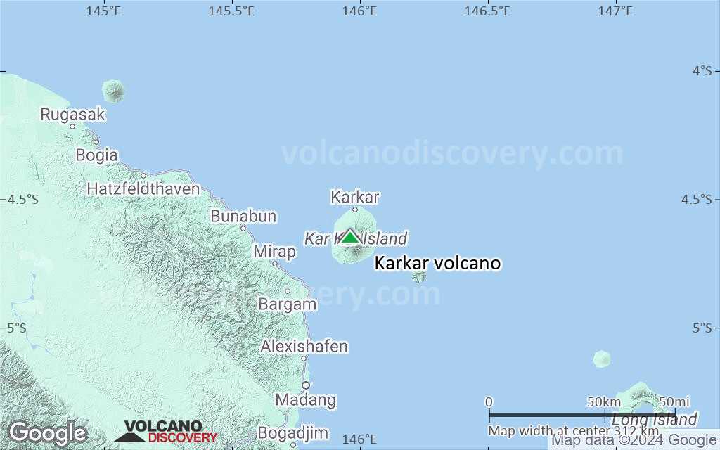
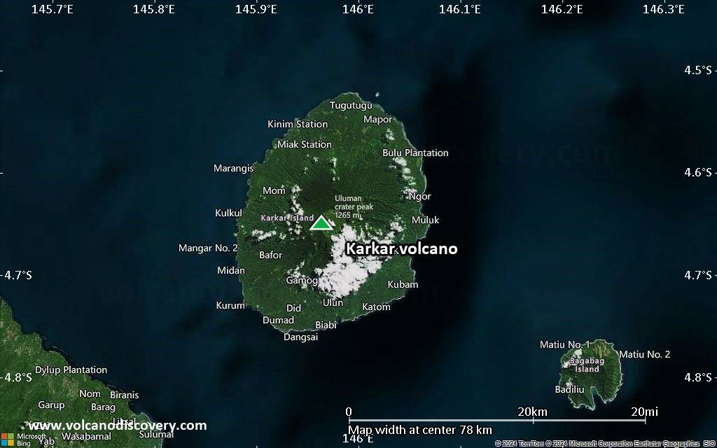
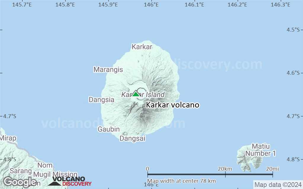
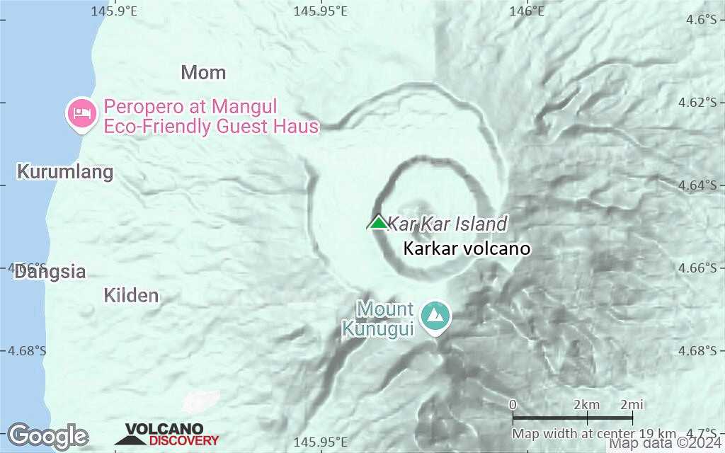
Karkar volcano along with its neighbor Manam is one of Papua New Guinea's most active volcanoes. The volcano is located on Karkar Island off New Guinea's north coast 64 km north of Madang.
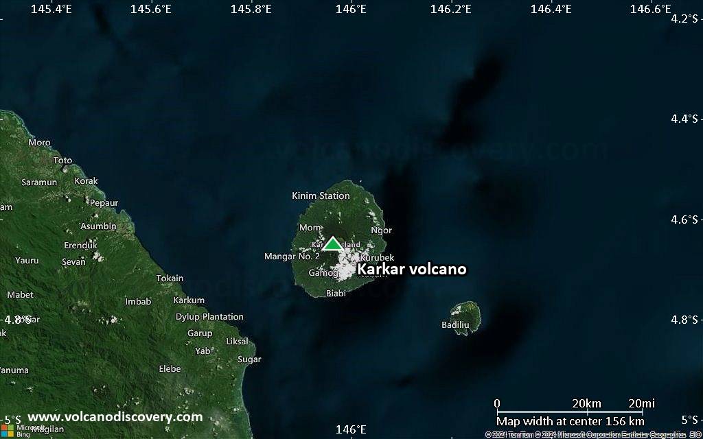
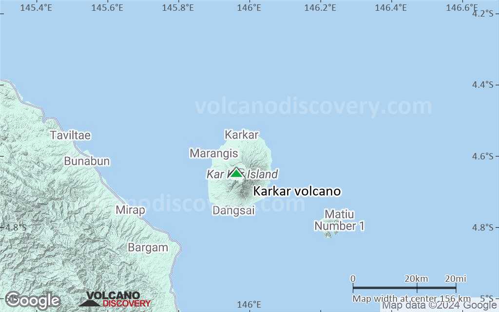
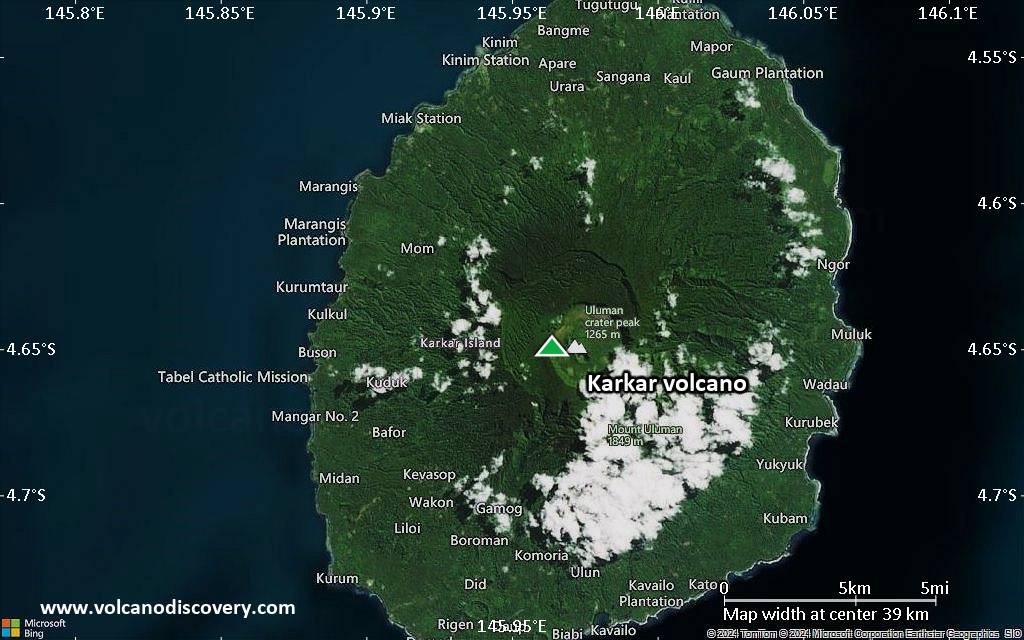
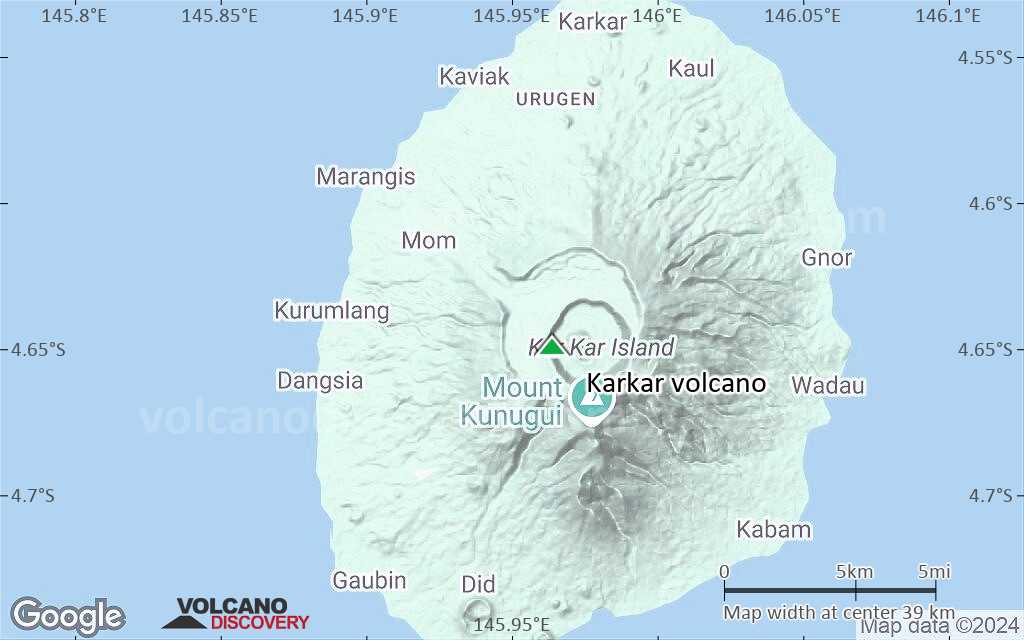
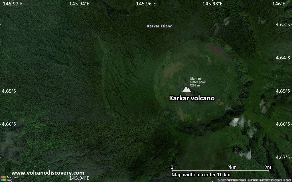
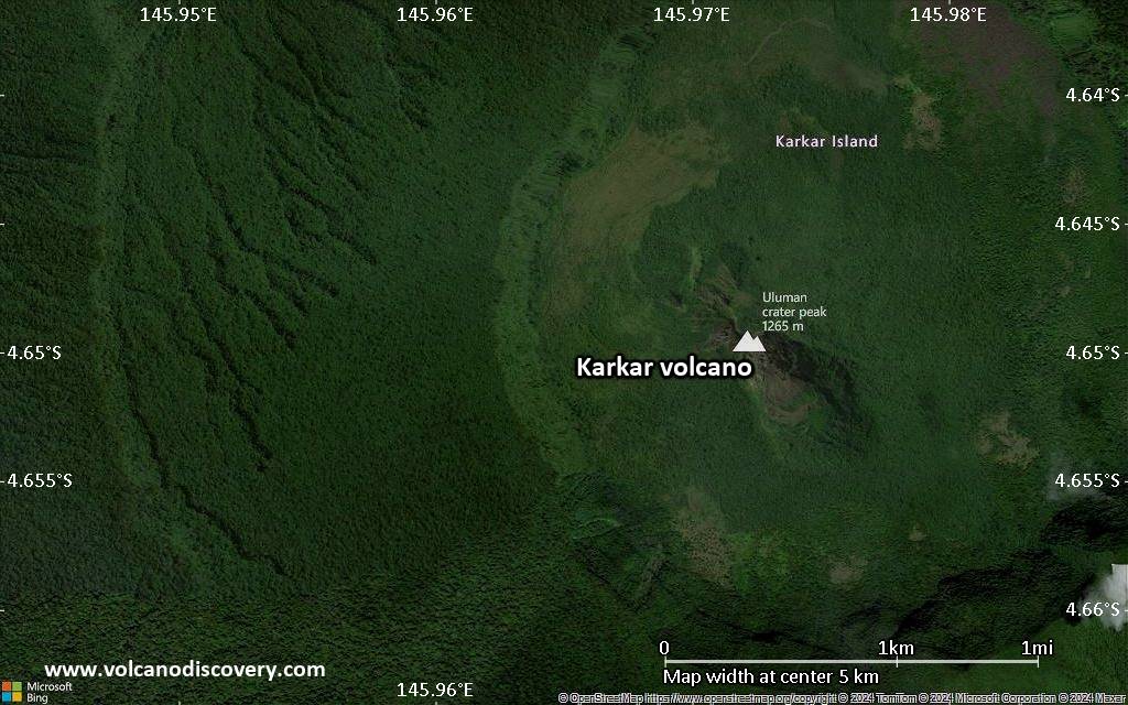
The forested Karkar Island is 25 km long and 19 km wide and cut by 2 nested summit calderas. The 5.5-km-wide outer caldera was formed during one or more eruptions, the last of which occurred 9000 years ago. The inner caldera is almost circular in shape and has 3.2 km in diameter with vertical walls up to 300 m high. It was formed during violent eruptions sometime between 1500 and 800 years ago.
The historic activity at Karkar volcano, recorded since 1643, consisted in small explosions including strombolian and phreatic eruptions. Most eruptions came from Bagiai vent, a cinder cone inside the inner caldera.
Ausbrüche des Karkar: 2014(?), 2012(?), 2010(?), 2009(?), 1980(?), 1979, 1974-75, 1974, 1962(?), 1895, 1885, 1830(?), 1643
Letzte Erdbeben in der Nähe
| Datum und Uhrzeit | Mag / Tiefe | Distanz / Ort | |||
|---|---|---|---|---|---|
Beschreibung
Karkar is an basaltic to andesitic stratovolcano and part of a chain of 15 volcanic islands in the western part of the 1000 km long Bismarck volcanic arc.Karkar volcano has flank cones on the northern and southern flanks of the volcano. A linear array of small cones extends from the northern rim of the outer caldera almost to the coast. The floor of the caldera is covered by young, mostly unvegetated andesitic lava flows.
(Source: Smithsonian / GVP volcano information)
Bedeutende Vulkanausbrüche: Karkar volcano
Additionally, there are 8 uncertain or discredited eruptions from Karkar volcano.
| Datum | Hinweis | VEI | Todesopfer | Schaden | |
|---|---|---|---|---|---|
?? | Unsicherer Ausbruch Hist. dokumentiert | 1 | unbekannt | ||
?? | Unsicherer Ausbruch Hist. dokumentiert | 3? | unbekannt | ||
?? | Unsicherer Ausbruch Hist. dokumentiert | 3? | unbekannt | ||
?? | Unsicherer Ausbruch Hist. dokumentiert | 1 | unbekannt | ||
?? | Unsicherer Ausbruch | ? | unbekannt | ||
?? | Unsicherer Ausbruch | 1 | unbekannt | ||
| SE foot of Bagiai Hist. dokumentiert | 2 | unbekannt | |||
| 1979 Mär 8 (Ausbruch | Hist. dokumentiert | 2 | 2 | unbekannt | Info |
| Bagiai Hist. dokumentiert | 2 | unbekannt | |||
| Bagiai Hist. dokumentiert | 2 | unbekannt | |||
?? | Unsicherer Ausbruch | 2? | unbekannt | ||
Hist. dokumentiert | 2 | unbekannt | |||
| 1895 Jun 17 (Ausbruch | Hist. dokumentiert | 2 | 21 | unbekannt | Info |
Hist. dokumentiert | 2? | unbekannt | |||
?? | Unsicherer Ausbruch | ? | unbekannt | ||
Hist. dokumentiert | 3 | unbekannt | |||
| South flank (Patilo Cone) | ? | unbekannt | |||
| 4P | unbekannt | ||||
| 4C | unbekannt | ||||
| ? | unbekannt | ||||
| 4C | unbekannt | ||||
Ausbrüche des Vulkans Karkar
High plumes, possibly ash bearing, from eruptions at Karkar were detected on satellite imagery reported from the VAAC Darwin in 25-26 November 2009, early December 2009 and during February 2010. However, independent observations could not confirm that an eruption took place. A possibility is that the plumes were caused by thunderstorm activity and / or some kind of low level activity. The Smithsonian does not count these events as eruptions.
An increase in thermal activity and gas emissions from vents on the SE and SW flanks of Bagiai cone were observed in 2007. Vegetation in the caldera died. In February 2008, 15-20 volcanic earthquakes were recorded daily at the volcano.
(Smithsonian / GVP monthly reports)
The last confirmed volcanic activity from Karkar was in September 1997 when fumarolic gases killed vegetation downwind.
Karkar volcano started to produce explosive eruptions in January 1979, following 6 months of increased seismic and fumarolic activity. This increase in activity was detected on 10 July 1978.
On 8 March 1979, an explosion at about 01h00 local time ejected incandescent bombs that could be seen from the New Guinea mainland in 30 km distance. The eruption killed the 2 volcanologists Robin Cooke and Elias Ravian who at that time camped on the volcano.
After almost 80 years of being dormant, new eruptions began on 14 February 1974 and continued until 8 August 1974. The eruption consisted in strombolian activity from the summit vent of Bagiai cone in the caldera, and also produced basaltic-andesite lava flows from two vents on SE flank of Bagiai. Similar activity resumed in January 1975 with new effusive and explosive vents. Stronger ash explosions were observed between April and June 1975.
(Smithsonian / GVP monthly reports)
Karkar volcano began to erupt on 17 June 1895 when a numerous earthquakes were noted. The eruption continued intermittently until August.
Smoke and ash were seen at the volcano.
(from: Alexander E. Gates, David Ritchie,"Encyclopedia of earthquakes and volcanoes", Third Edition 2007, Facts on File Inc., New York)
On 20 April 1843, Tasman saw "a great flame come steadily from the top of the mountain".
Journal of Abel Janszoon Tasman 1642-1643 - Part 4, online at: www.findingnz.co.nz/bd/ebd1.htm
Karkar Volcano FAQ
+When was the last eruption of Karkar volcano?
The last confirmed eruption of Karkar occurred im Jahr 1979.
+How often does Karkar volcano erupt?
Since 1643 AD, Karkar volcano has had at least 6 historically documented eruptions. This means that it erupts on average every 64 years.
+How active is Karkar volcano at present?
Karkar volcano is occasionally active: Since 1900, it has had 3 eruptions, and been active during 3 years out of 126 as of now. This means, Karkar has been in eruption one in 42 years on average. The last eruption was in 1979 and ended 46 years ago.
+When was the largest eruption of Karkar volcano?
The largest eruption known from the younger geological history of Karkar volcano occurred im Jahr 730 AD. It ranks as a "vulcanian" eruption with a magnitude 3 on the VEI (Volcanic Explosivity Index) scale.
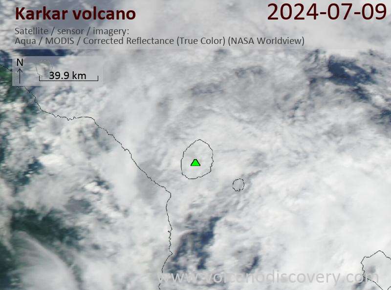
Neueste Satellitenbilder
Karkar Vulkan Karten