


Rumble V Vulkan
Updated: 20. Okt. 2025 14:31 GMT -
Submarine volcano
New Zealand, -36.14°S / 178.2°E 
Summit height: 400? m / 1,312 ft
Aktueller Status: normal / ruhend (1 von 5)
[smaller] [larger]
Ausbrüche des Rumble V: unknown, no recent eruptions
Letzte Erdbeben in der Nähe
| Datum und Uhrzeit | Mag / Tiefe | Distanz / Ort | |||
|---|---|---|---|---|---|
| 19. Okt. 22:57 (GMT +12) | 2.7 146 km | 23 km nördlich | Info | ||
| Donnerstag, 16. Oktober 2025 GMT (1 Beben) | |||||
| 17. Okt. 11:09 (GMT +12) | 3.7 178 km | 24 km westlich | Info | ||
Beschreibung
A previously unknown submarine volcano was discovered in 1992 at the southern end of the South Kermadec Ridge. Rumble V volcano, the southernmost of a group of seamounts on the southern Kermadec Ridge, known as the Rumbles, rises more than 2000 m to nearly 400 m below the sea surface and shows a pristine morphology. Andesitic and basaltic-andesite rocks have been dredged from Rumble V, which lies 17 km ESE of Rumble IV. A large plume of gas bubbles was acoustically detected rising from the summit of Rumble V in 1992, and subsequent expeditions detected evidence of vigorous hydrothermal activity.---
Smithsonian / GVP volcano information
Neueste Satellitenbilder
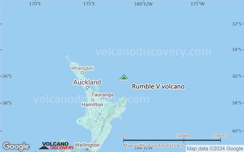
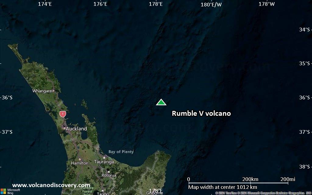
Rumble V Vulkan Karten
Below is a selection of maps showing the location and surroundings of the volcano at various resolutions based on aerial-imagery / terrain maps. Feel free to use them for non-commercial purposes on your blog or website as long as you credit them with a link back to this page (click to copy it).

Satellite/aerial-type map of Rumble V volcano (world scale)

Terrain-type map of Rumble V volcano (world scale)

Satellite/aerial-type map of Rumble V volcano (region scale large)

Terrain-type map of Rumble V volcano (region scale large)

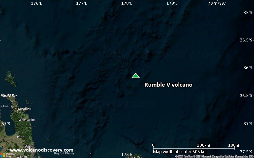
Satellite/aerial-type map of Rumble V volcano (region scale medium)
Terrain-type map of Rumble V volcano (region scale medium)
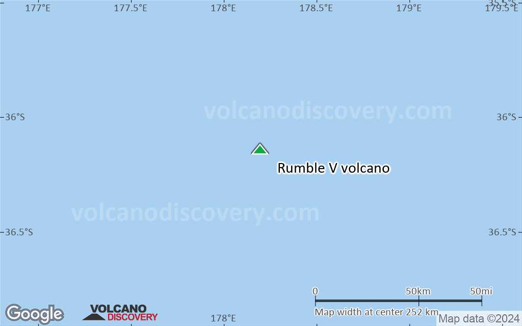
Satellite/aerial-type map of Rumble V volcano (region scale small)

Terrain-type map of Rumble V volcano (region scale small)
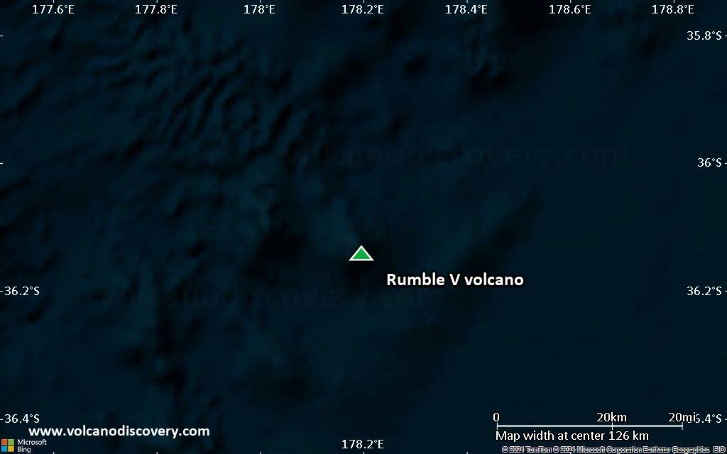
Satellite/aerial-type map of Rumble V volcano (local scale large)

Terrain-type map of Rumble V volcano (local scale large)

Satellite/aerial-type map of Rumble V volcano (local scale medium)
Terrain-type map of Rumble V volcano (local scale medium)
Satellite/aerial-type map of Rumble V volcano (local scale small)

Terrain-type map of Rumble V volcano (local scale small)

Satellite/aerial-type map of Rumble V volcano (scale of 10s of km)

Terrain-type map of Rumble V volcano (scale of 10s of km)

Satellite/aerial-type map of Rumble V volcano (scale of 20-40 km)

Terrain-type map of Rumble V volcano (scale of 20-40 km)

Satellite/aerial-type map of Rumble V volcano (scale of approx. 10-20 km)

Terrain-type map of Rumble V volcano (scale of approx. 10-20 km)

Satellite/aerial-type map of Rumble V volcano (scale of 5-10 km)

Satellite/aerial-type map of Rumble V volcano (scale of few kilometers)


