Midagahara Volcano
Updated: 29. Apr. 2024 15:23 GMT -
stratovolcano 2621 m / 8,599 ft
Honshu (Japan), 36.57°N / 137.59°E
Aktueller Status: normal / ruhend (1 von 5)
Honshu (Japan), 36.57°N / 137.59°E
Aktueller Status: normal / ruhend (1 von 5)
Last update: 22 Dez 2021 (Correction- alert level not raised)
Midagahara (prev. referred to as Tate-yama) volcano is located in the southeastern area of Toyama Prefecture, Japan. It is surrounded by high peaks of the North Japan Alps and named for the granite-and-gneiss peak of Tate-yama (立山), which lies immediately to the east and forms one of the tallest peaks in the Hida Mountains at 3,015 m (9,892 ft). Tate-yama, along with Mount Fuji and Mount Haku, it is one of Japan's "Three Holy Mountains".
[smaller] [larger]
Ausbrüche des Midagahara: 1858 (?), 1839
Letzte Erdbeben in der Nähe
| Uhrzeit | Mag. / Tiefe | Entfernung / Ort | |||
| 20. Apr. 05:16 (GMT +9) | 3.7 412 km | 22 km nordöstlich | Info | ||
Beschreibung
Midagahara volcano is a dissected andesitic-to-dacitic stratovolcano. It contains a 4 km wide caldera is believed to be the result of erosion rather than collapse. Inside the caldera, repeated eruptions of lava and pyroclastics formed the Midagahara plateau that was later dissected by the Yu-kawa river.Eruptions in the past 10,000 years have been restricted to small phreatic explosions that formed craters. A minor historical eruption occurred in the 19th century. An earthquake swarm took place in 1990. Hot springs occur in seven locations on the floor of the poorly defined erosional caldera.
---
Source: Tate-yama volcano information (Smithsonian / GVP)
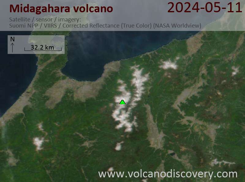
Latest satellite images