Tarakan Volcan
Updated: 26 avril. 2025 00:38 GMT -
stratovolcano
Halmahera (Indonésie), 1.83°N / 127.83°E 

Summit height: 318 m / 1,043 ft
Condition actuelle: normal / en sommeil (1 sur 5)
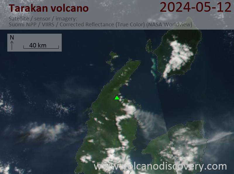
Tarakan is a twin volcano 16 km NE of more active Dukono. There is no known historic activity from the two large cinder cones Tarakan Lamo and Tarakan Itji ("big and small Tarakan").
[smaller] [larger]
Eruptions du volcan Tarakan: none in historic times
Derniers séismes proches
Date et l'heure | Mag / Prof. | Distance / Lieux |
---|
Introduction
The 2 Tarakan cinder cones are located near the shore of Galela Bay NE of Dukono volcano. Tarakan Lamo and Tarakan Itji have beautiful summit craters 800 and 500 m in diameter and 160 and 125 m deep, respectively.Dernières images satellite
Tarakan Volcan Cartes
Below is a selection of maps showing the location and surroundings of the volcano at various resolutions based on aerial-imagery / terrain maps. Feel free to use them for non-commercial purposes on your blog or website as long as you credit them with a link back to this page (click to copy it).

Satellite/aerial-type map of Tarakan volcano (world scale)

Terrain-type map of Tarakan volcano (world scale)

Satellite/aerial-type map of Tarakan volcano (region scale large)

Terrain-type map of Tarakan volcano (region scale large)

Satellite/aerial-type map of Tarakan volcano (region scale medium)

Terrain-type map of Tarakan volcano (region scale medium)

Satellite/aerial-type map of Tarakan volcano (region scale small)

Terrain-type map of Tarakan volcano (region scale small)

Satellite/aerial-type map of Tarakan volcano (local scale large)

Terrain-type map of Tarakan volcano (local scale large)

Satellite/aerial-type map of Tarakan volcano (local scale medium)

Terrain-type map of Tarakan volcano (local scale medium)

Satellite/aerial-type map of Tarakan volcano (local scale small)

Terrain-type map of Tarakan volcano (local scale small)

Satellite/aerial-type map of Tarakan volcano (scale of 10s of km)

Terrain-type map of Tarakan volcano (scale of 10s of km)

Satellite/aerial-type map of Tarakan volcano (scale of 20-40 km)

Terrain-type map of Tarakan volcano (scale of 20-40 km)

Satellite/aerial-type map of Tarakan volcano (scale of approx. 10-20 km)

Terrain-type map of Tarakan volcano (scale of approx. 10-20 km)

Satellite/aerial-type map of Tarakan volcano (scale of 5-10 km)

Satellite/aerial-type map of Tarakan volcano (scale of few kilometers)