Agua de Pau Volcano
Updated: Jun 16, 2025 00:45 GMT -
stratovolcano, caldera, lava dome
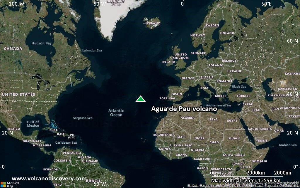
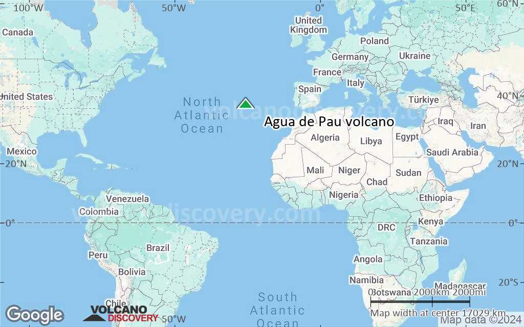
Azores (Portugal), 37.76°N / -25.48°W 
Summit height: 947 m
Current status: normal or dormant (1 out of 5)
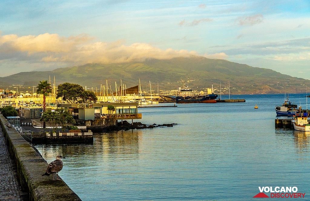
Agua de Pau volcano seen from the capital Ponta Delgada
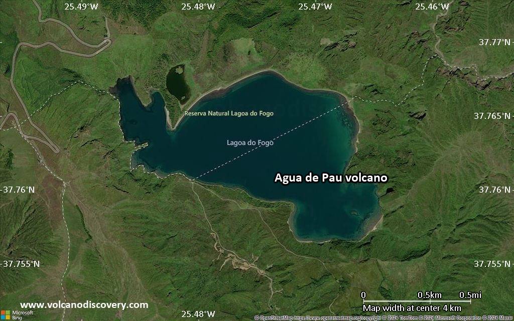
Agua de Pau stratovolcano in central Sao Miguel Island contains an outer 4 x 7 km caldera formed about 30,000 to 45,000 years ago and an inner 2.5 x 3 km caldera that was created about 15,000 years ago.
[smaller] [larger]
Agua de Pau volcano eruptions: 1563 AD
Latest nearby earthquakes
| Date and Time | Mag / Depth | Distance / Location | |||
|---|---|---|---|---|---|
| Jun 15, 11:46 pm (Universal Time) | 2.2 5 km | 25 km (16 mi) to the SE | Info | ||
| Jun 15, 10:51 pm (Universal Time) | 3.3 5 km | 24 km (15 mi) to the SE | Info | ||
| Friday, June 13, 2025 GMT (2 quakes) | |||||
| Jun 13, 11:49 am (Universal Time) | 2.0 1 km | 25 km (16 mi) to the SE | Info | ||
| Jun 13, 10:37 am (Universal Time) | 2.6 0 km | 25 km (16 mi) to the SE | Info | ||
| Tuesday, June 10, 2025 GMT (1 quake) | |||||
| Jun 10, 03:22 am (Universal Time) | 2.0 13 km | 23 km (14 mi) to the SE | Info | ||
| Monday, June 9, 2025 GMT (4 quakes) | |||||
| Jun 9, 02:21 pm (Universal Time) | 2.0 5 km | 25 km (16 mi) to the SE | Info | ||
| Jun 9, 12:23 pm (Universal Time) | 2.6 5 km | 25 km (15 mi) to the SE | Info | ||
| Jun 9, 12:02 pm (Universal Time) | 3.1 5 km | 25 km (16 mi) to the SE | Info | ||
| Jun 9, 05:54 am (Universal Time) | 3.1 1 km | 27 km (17 mi) to the SE | Info | ||
Background
The younger caldera is partially filled by the Lagoa do Fogo caldera lake. Several post-caldera lava domes were emplaced on the northern and western flanks of the volcano, but activity in the caldera did not resume until about 5000 years ago. The 3-cu-km Fogo-A plinian pumice-fall deposit, the product of the largest-known Holocene eruption in the Azores, was emplaced at this time. Numerous flank cinder cones mark radial and concentric fissures, some of which have been active during historical time. The latest trachytic explosive eruption took place during 1563. Prominent hot springs are located on the NW flank.Agua de Pau Volcano Photos
Mighty Agua volcano seen from Antigua (Photo: Tom Pfeiffer)
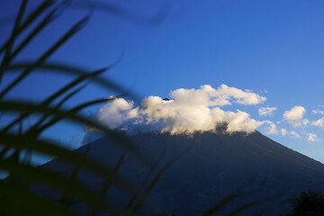
Agua volcano, Guatemala (Photo: Tom Pfeiffer)
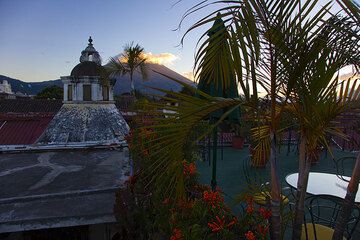
Agua volcano seen from Antigua (Photo: Tom Pfeiffer)
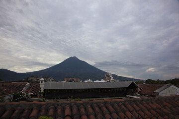
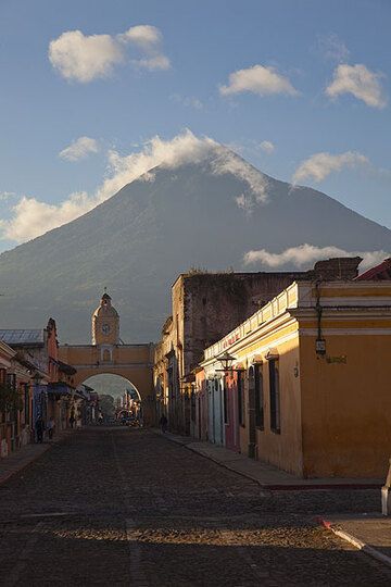
The roofs of Antigua and Agua volcano in the background (Photo: Tom Pfeiffer)
Significant volcanic eruptions: Agua de Pau volcano
In the past 10,000 years, Agua de Pau has had at least 10 confirmed volcanic eruptions, out of which 2 are documented by historical records, while the others can be inferred from geological evidence.
The table below lists all known eruptions (date in bold face) of Agua de Pau volcano in historic times and during the past 10,000 years. Updates on the most recent volcanic activity of Agua de Pau can be found on the news page of Agua de Pau volcano.
| Date | Note | VEI | Deaths | Damage | |
|---|---|---|---|---|---|
| Lagoa do Fogo caldera Historical obs./docs. | 2 | ||||
| Caldera, NW flank (Cerro Queimado) Historical obs./docs. | 5? | ||||
| WNW flank (Mos) | ? | ||||
| NW flank (251 m) | ? | ||||
| Lagoa do Fogo caldera | 4 | ||||
| East flank (Lagoa do Congro) | 3 | ||||
| East flank (East Congo maar) | ? | ||||
| Lagoa do Fogo caldera and north flank | 5 | ||||
| SW flank (449 m) | ? | ||||
| West flank (Pico Joao Fernandes) | ? | ||||
Remark:
Our list of volcanic eruptions closely follows the database of eruptions of the Smithsonian's Global Volcanism Project (GVP), the internationally most recognized data source for volcanic eruptions, but also includes significant eruptive episodes or related volcano events. "Volcanic eruptions" are usually to be understood as sequences of individual eruptive episodes that can follow each other, or even overlap (if several vents are involved), and can last many years, decades or even longer. For example, the current activity of Stromboli volcano is understood as a single eruption that has been ongoing since 1934.
Sources: NOAA National Centers for Environmental Information (NCEI), Global Significant Volcanic Eruptions Database. doi:10.7289/V5TD9V7K | Global Volcanism Project / Smithsonian Institution
Agua de Pau Volcano FAQ
+When was the last eruption of Agua de Pau volcano?
The last confirmed eruption of Agua de Pau occurred in 1564 AD.
+How often does Agua de Pau volcano erupt?
Since 1563 AD, Agua de Pau volcano has had at least 2 historically documented eruptions. This means that it erupts on average every 231 years.
+When was the largest eruption of Agua de Pau volcano?
The largest eruption of Agua de Pau volcano in historic times occurred in 1563 AD. It ranks as a plinian eruption with a magnitude 5 on the VEI (Volcanic Explosivity Index) scale. Eruption of this size are often catastrophic on a regional scale.
Latest satellite images

Agua de Pau Volcano Tours
Azores (Portugal)
Green Volcanoes
14-day geo and photo tour to the Azores: Sao Miguel, Pico, Faial, Flores
14 days / 13 nights - Moderate
Price 4450 €
Price 4450 €
13-26 Sep 2025
Agua de Pau Volcano Maps
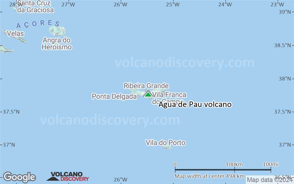
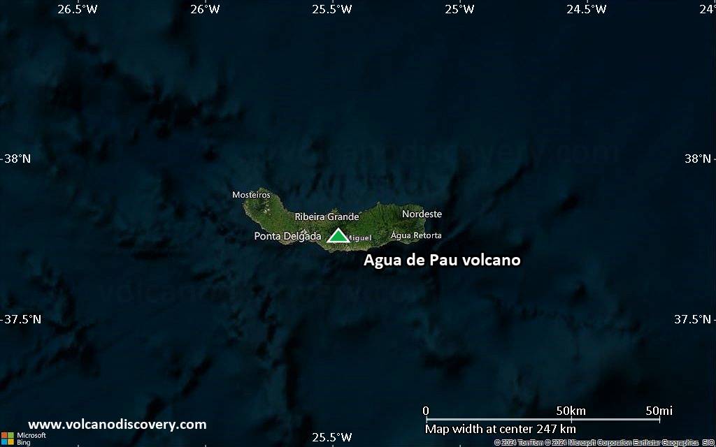
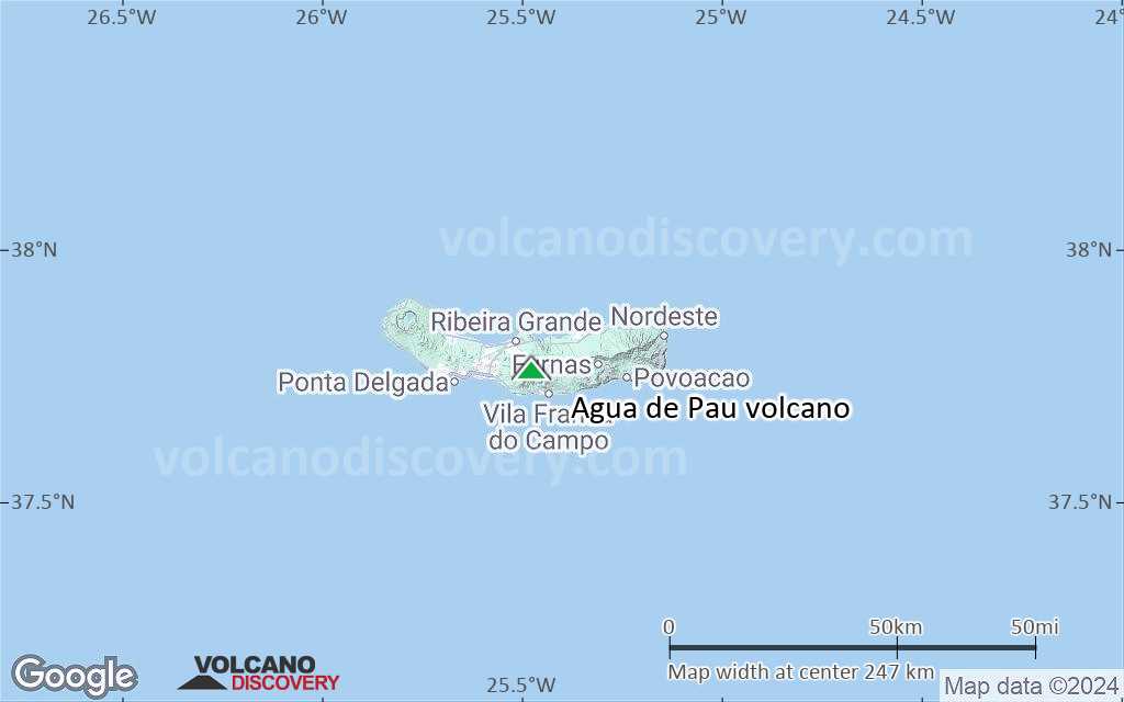
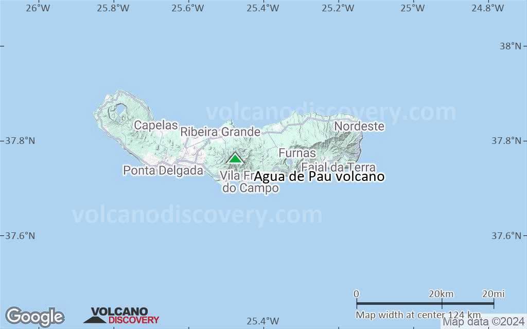
Below is a selection of maps showing the location and surroundings of the volcano at various resolutions based on aerial-imagery / terrain maps. Feel free to use them for non-commercial purposes on your blog or website as long as you credit them with a link back to this page (click to copy it).
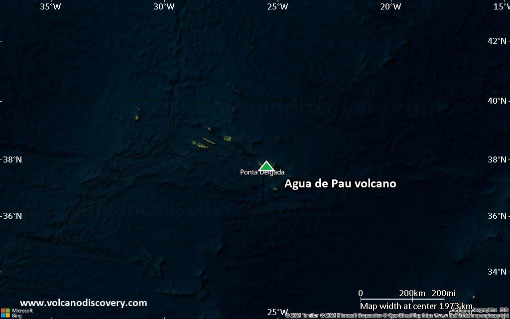
Satellite/aerial-type map of Agua de Pau volcano (world scale)
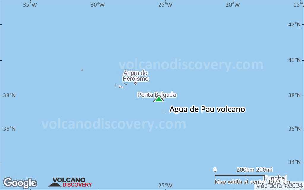
Terrain-type map of Agua de Pau volcano (world scale)

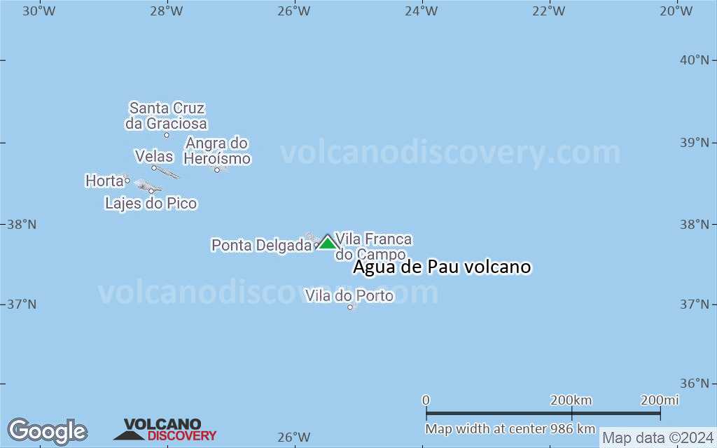
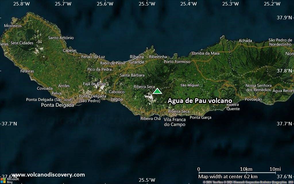
Satellite/aerial-type map of Agua de Pau volcano (region scale large)

Terrain-type map of Agua de Pau volcano (region scale large)
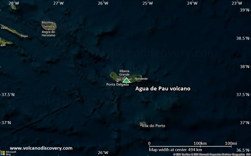
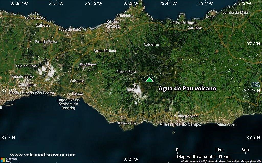
Satellite/aerial-type map of Agua de Pau volcano (region scale medium)
Terrain-type map of Agua de Pau volcano (region scale medium)

Satellite/aerial-type map of Agua de Pau volcano (region scale small)
Terrain-type map of Agua de Pau volcano (region scale small)
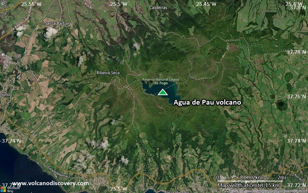
Satellite/aerial-type map of Agua de Pau volcano (local scale large)
Terrain-type map of Agua de Pau volcano (local scale large)
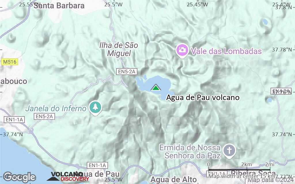
Satellite/aerial-type map of Agua de Pau volcano (local scale medium)
Terrain-type map of Agua de Pau volcano (local scale medium)

Satellite/aerial-type map of Agua de Pau volcano (local scale small)
Terrain-type map of Agua de Pau volcano (local scale small)
Satellite/aerial-type map of Agua de Pau volcano (scale of 10s of km)

Terrain-type map of Agua de Pau volcano (scale of 10s of km)
Satellite/aerial-type map of Agua de Pau volcano (scale of 20-40 km)

Terrain-type map of Agua de Pau volcano (scale of 20-40 km)
Satellite/aerial-type map of Agua de Pau volcano (scale of approx. 10-20 km)
Terrain-type map of Agua de Pau volcano (scale of approx. 10-20 km)

Satellite/aerial-type map of Agua de Pau volcano (scale of 5-10 km)
Satellite/aerial-type map of Agua de Pau volcano (scale of few kilometers)