Antiparos Volcano
Updated: Jun 14, 2025 13:31 GMT -
Pyroclastic cone(s)
Aegean Sea, Greece, 37°N / 25.05°E 
Summit height: 282 m / 925 ft
Current status: (probably) extinct (0 out of 5)
[smaller] [larger]
Antiparos volcano eruptions: None during the past 10,000 years
Less than 2.58 million years ago (Pleistocene)
Latest nearby earthquakes
| Date and Time | Mag / Depth | Distance / Location | |||
|---|---|---|---|---|---|
| Jun 11, 03:07 am (Universal Time) | 2.0 10 km | 27 km (17 mi) to the S | Info | ||
| Tuesday, June 10, 2025 GMT (1 quake) | |||||
| Jun 10, 01:43 pm (GMT +3) | 2.6 42 km | 9.5 km (5.9 mi) to the SE | Info | ||
| Friday, June 6, 2025 GMT (2 quakes) | |||||
| Jun 6, 10:32 pm (Universal Time) | 1.9 10 km | 30 km (18 mi) to the NW | Info | ||
| Jun 6, 08:40 pm (Universal Time) | 2.3 50 km | 28 km (17 mi) to the E | Info | ||
| Sunday, June 1, 2025 GMT (2 quakes) | |||||
| Jun 1, 11:15 pm (Universal Time) | 2.2 15 km | 8 km (5 mi) to the W | Info | ||
| Jun 1, 06:07 pm (Universal Time) | 2.1 21 km | 27 km (17 mi) to the E | Info | ||
Background
Antiparos Island, positioned within the back-arc region of the South Aegean Volcanic Arc, contains a group of rhyolitic lava domes and pyroclastic cones with associated lava flows that are of Miocene to early Quaternary age (Pe-Piper and Piper, 2007; IAVCEI; Keller, 1982; Clapsopoulos, 1998). The domes are surrounded by tuffs containing obsidian particles and pumice, which are believed to be the result of subaqueous pyroclastic flows. The volcanic products are distributed over a total area of about 4.5 km2 (Clapsopoulos, 1998). K-Ar dates listed in Fytikas et al. (1984) range from 5.4 to 4.0 Ma.---
Smithsonian / GVP volcano information
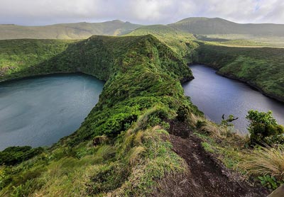
Antiparos Volcano Photos
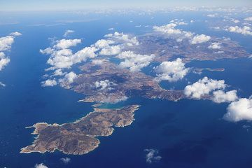
From left to right, (now uninhabited) Despotiko, Antiparos and Paros Islands in the central Cyclades (Greece) seen from the air (Photo: Tom Pfeiffer)
Latest satellite images
Antiparos Volcano Maps
Below is a selection of maps showing the location and surroundings of the volcano at various resolutions based on aerial-imagery / terrain maps. Feel free to use them for non-commercial purposes on your blog or website as long as you credit them with a link back to this page (click to copy it).
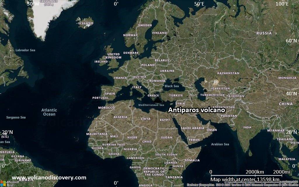
Satellite/aerial-type map of Antiparos volcano (world scale)

Terrain-type map of Antiparos volcano (world scale)
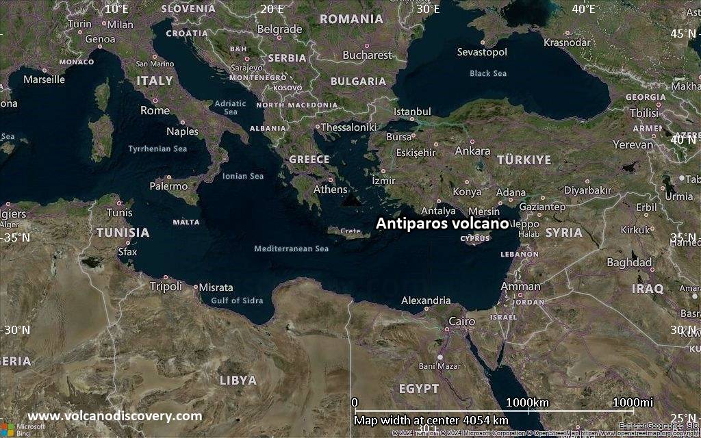
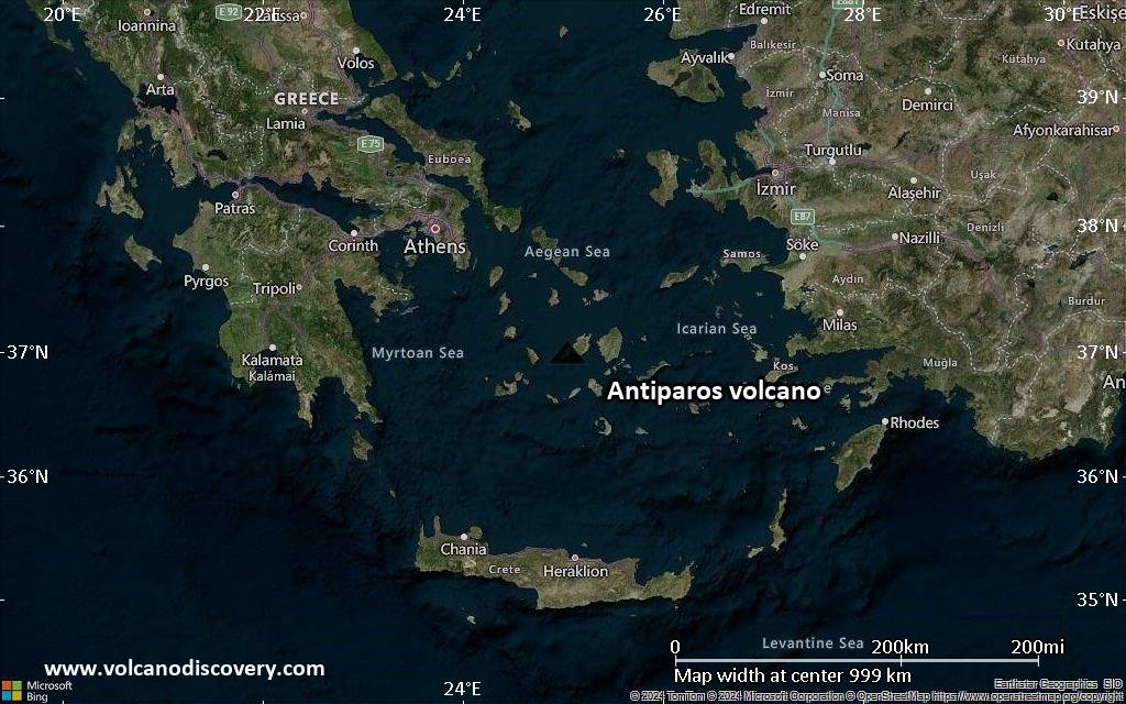
Satellite/aerial-type map of Antiparos volcano (region scale large)
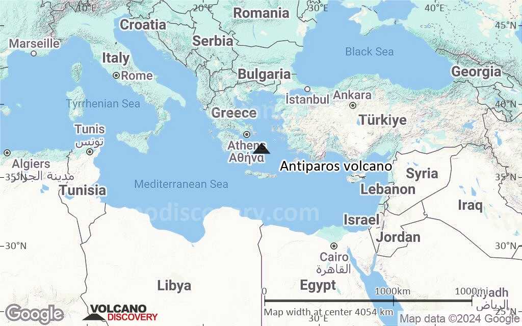
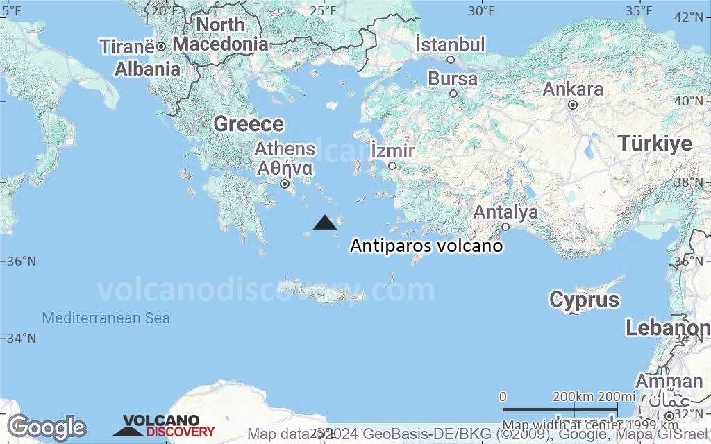
Terrain-type map of Antiparos volcano (region scale large)
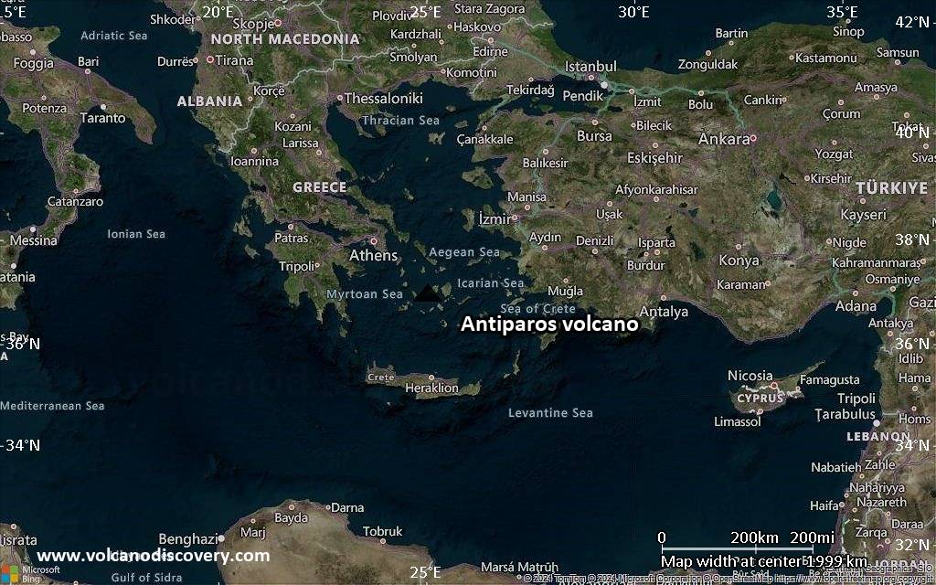
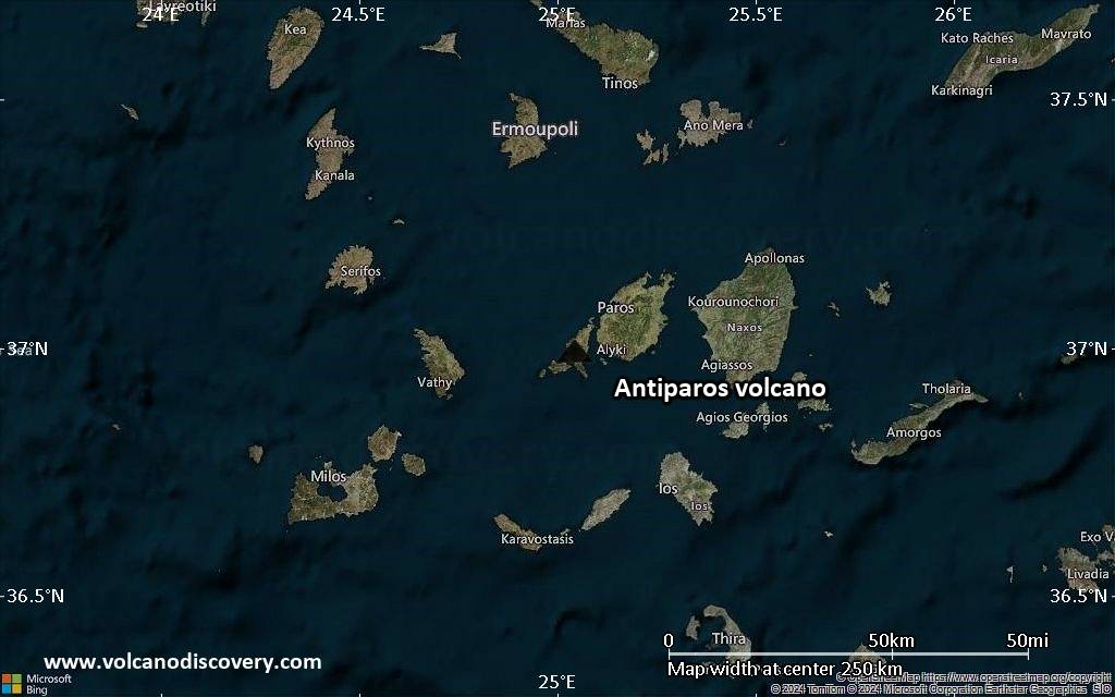
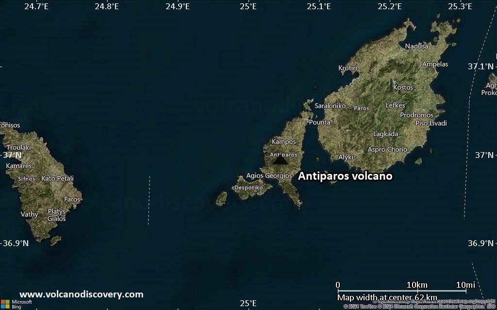
Satellite/aerial-type map of Antiparos volcano (region scale medium)
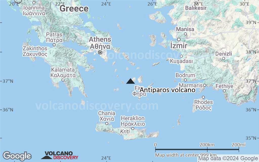
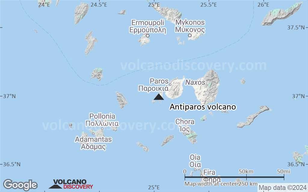
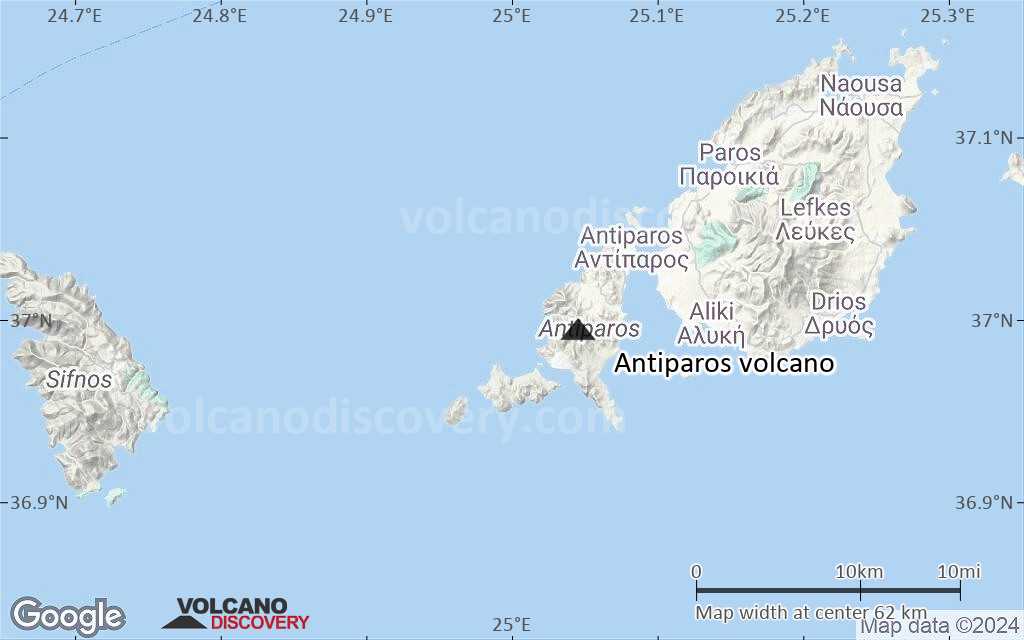
Terrain-type map of Antiparos volcano (region scale medium)
Satellite/aerial-type map of Antiparos volcano (region scale small)
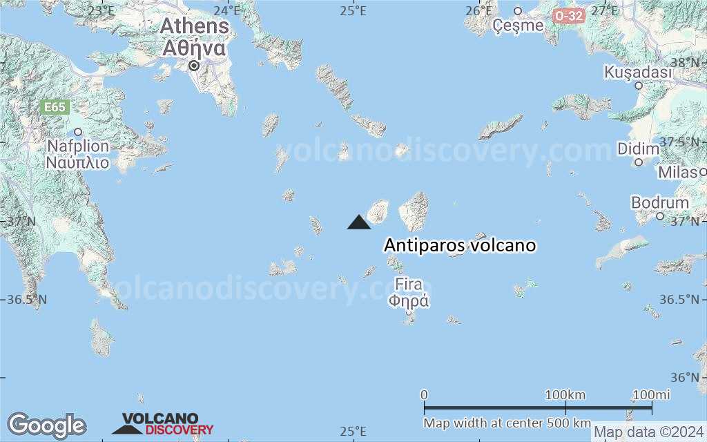
Terrain-type map of Antiparos volcano (region scale small)

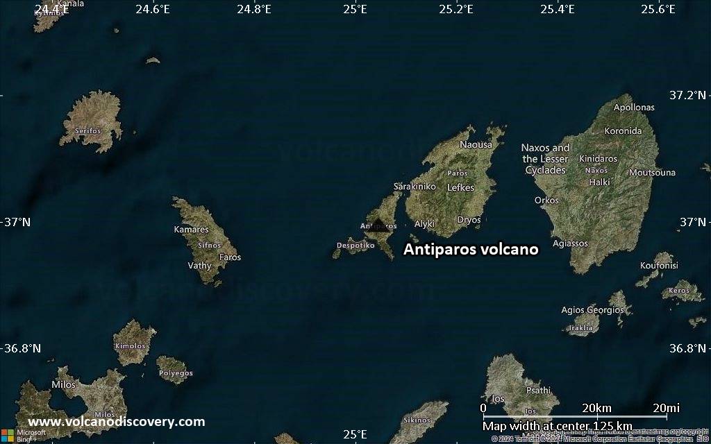
Satellite/aerial-type map of Antiparos volcano (local scale large)
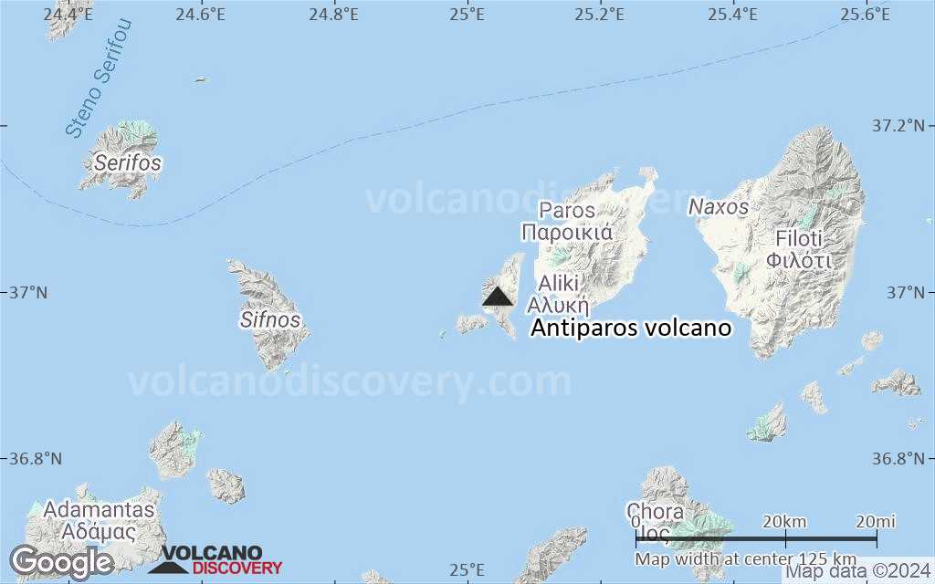
Terrain-type map of Antiparos volcano (local scale large)
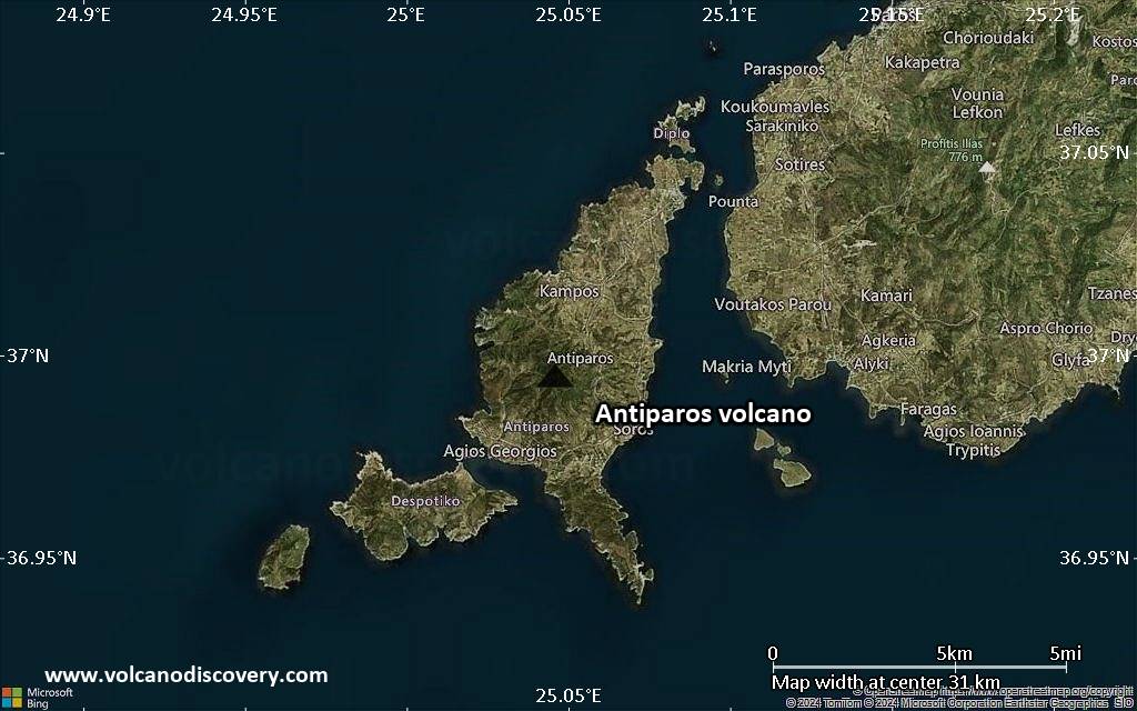
Satellite/aerial-type map of Antiparos volcano (local scale medium)
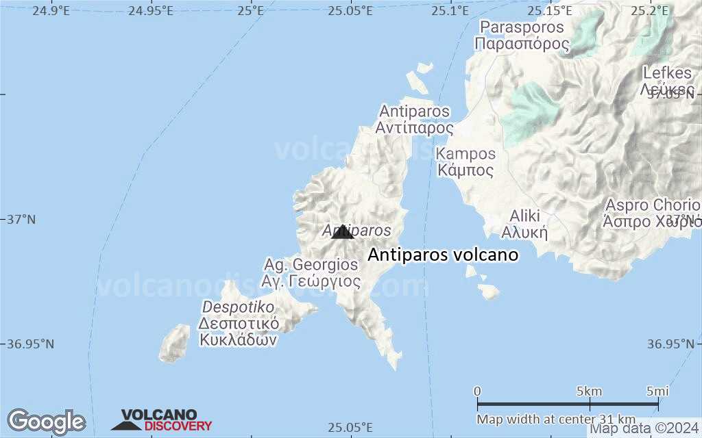
Terrain-type map of Antiparos volcano (local scale medium)
Satellite/aerial-type map of Antiparos volcano (local scale small)
Terrain-type map of Antiparos volcano (local scale small)
Satellite/aerial-type map of Antiparos volcano (scale of 10s of km)
Terrain-type map of Antiparos volcano (scale of 10s of km)
Satellite/aerial-type map of Antiparos volcano (scale of 20-40 km)
Terrain-type map of Antiparos volcano (scale of 20-40 km)
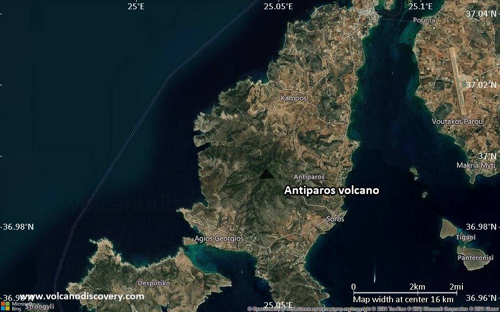
Satellite/aerial-type map of Antiparos volcano (scale of approx. 10-20 km)

Terrain-type map of Antiparos volcano (scale of approx. 10-20 km)
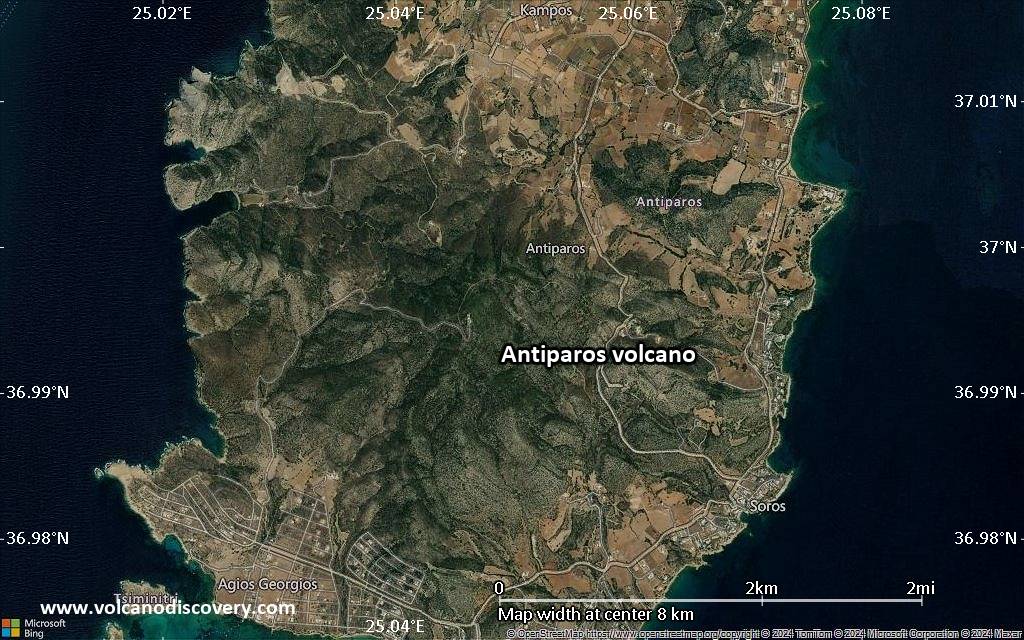
Satellite/aerial-type map of Antiparos volcano (scale of 5-10 km)
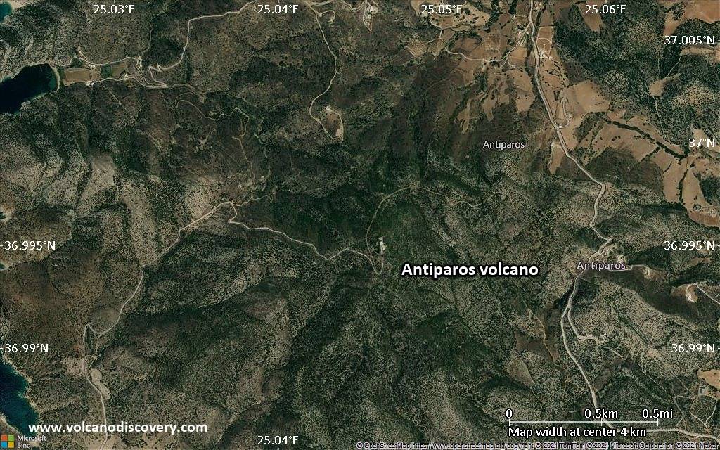
Satellite/aerial-type map of Antiparos volcano (scale of few kilometers)