Antofalla Volcano
Updated: Jul 4, 2025 17:46 GMT -
Stratovolcano(es)
Argentina, -25.55°S / -67.92°W 
Summit height: 6409 m / 21027 ft
Current status: (probably) extinct (0 out of 5)
[smaller] [larger]
Antofalla volcano eruptions: None during the past 10,000 years
Less than few million years ago (Pleistocene)
Latest nearby earthquakes
| Date and Time | Mag / Depth | Distance / Location | |||
|---|---|---|---|---|---|
Background
Volcán Antofalla is a 6409-m-high Argentinian stratovolcano west of the Salar de Antofalla. The andesitic-to-rhyolitic main edifice is surrounded by a circular ring of smaller satellitic stratovolcanoes. Sapper (1917) reported "smoke" clouds from Volcán Antofalla in 1901 and 1911, but detailed study showed that its youngest rocks were erupted during the early Pleistocene (Richards et al., 2006). Younger small-volume monogenetic volcanism took place on the SW and western flanks later in the Pleistocene.---
Source: Smithsonian / GVP volcano information
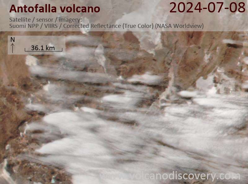
Latest satellite images
Antofalla Volcano Maps
Below is a selection of maps showing the location and surroundings of the volcano at various resolutions based on aerial-imagery / terrain maps. Feel free to use them for non-commercial purposes on your blog or website as long as you credit them with a link back to this page (click to copy it).

Satellite/aerial-type map of Antofalla volcano (world scale)

Terrain-type map of Antofalla volcano (world scale)

Satellite/aerial-type map of Antofalla volcano (region scale large)

Terrain-type map of Antofalla volcano (region scale large)

Satellite/aerial-type map of Antofalla volcano (region scale medium)

Terrain-type map of Antofalla volcano (region scale medium)

Satellite/aerial-type map of Antofalla volcano (region scale small)

Terrain-type map of Antofalla volcano (region scale small)

Satellite/aerial-type map of Antofalla volcano (local scale large)

Terrain-type map of Antofalla volcano (local scale large)

Satellite/aerial-type map of Antofalla volcano (local scale medium)

Terrain-type map of Antofalla volcano (local scale medium)

Satellite/aerial-type map of Antofalla volcano (local scale small)

Terrain-type map of Antofalla volcano (local scale small)

Satellite/aerial-type map of Antofalla volcano (scale of 10s of km)

Terrain-type map of Antofalla volcano (scale of 10s of km)

Satellite/aerial-type map of Antofalla volcano (scale of 20-40 km)

Terrain-type map of Antofalla volcano (scale of 20-40 km)

Satellite/aerial-type map of Antofalla volcano (scale of approx. 10-20 km)

Terrain-type map of Antofalla volcano (scale of approx. 10-20 km)

Satellite/aerial-type map of Antofalla volcano (scale of 5-10 km)

Satellite/aerial-type map of Antofalla volcano (scale of few kilometers)