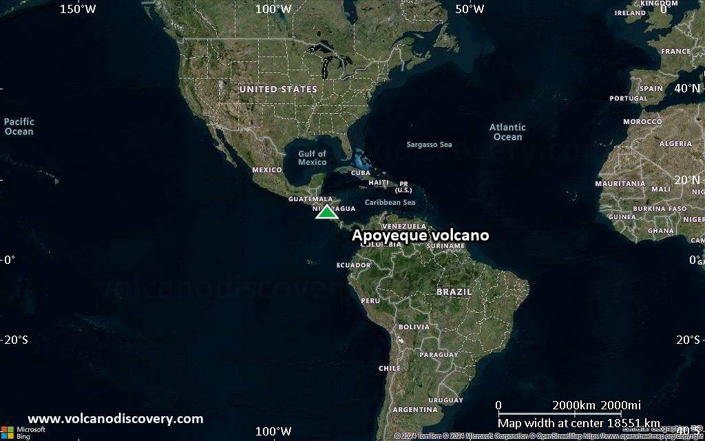
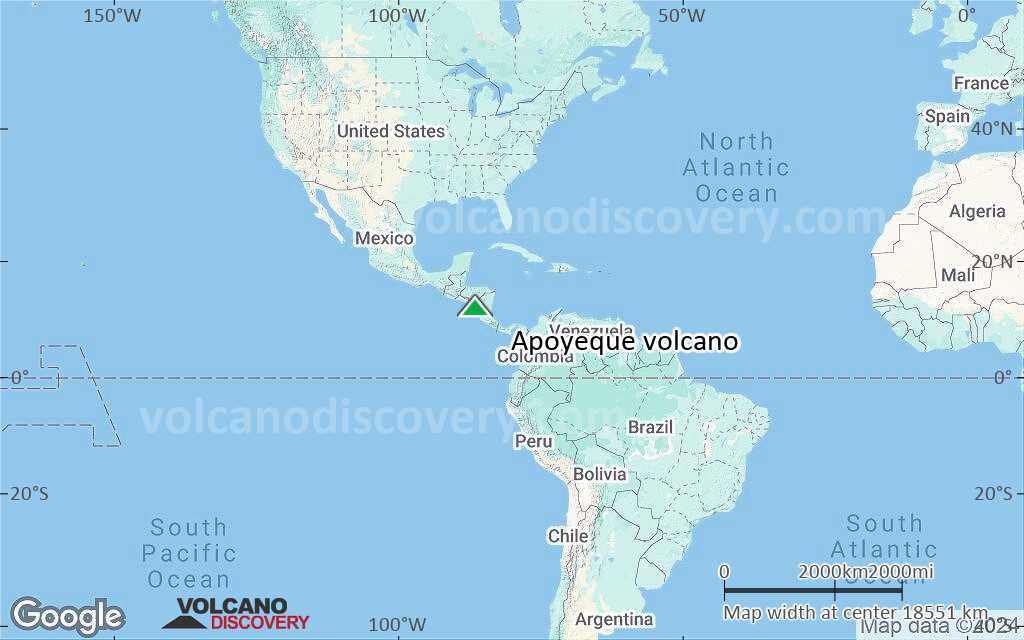
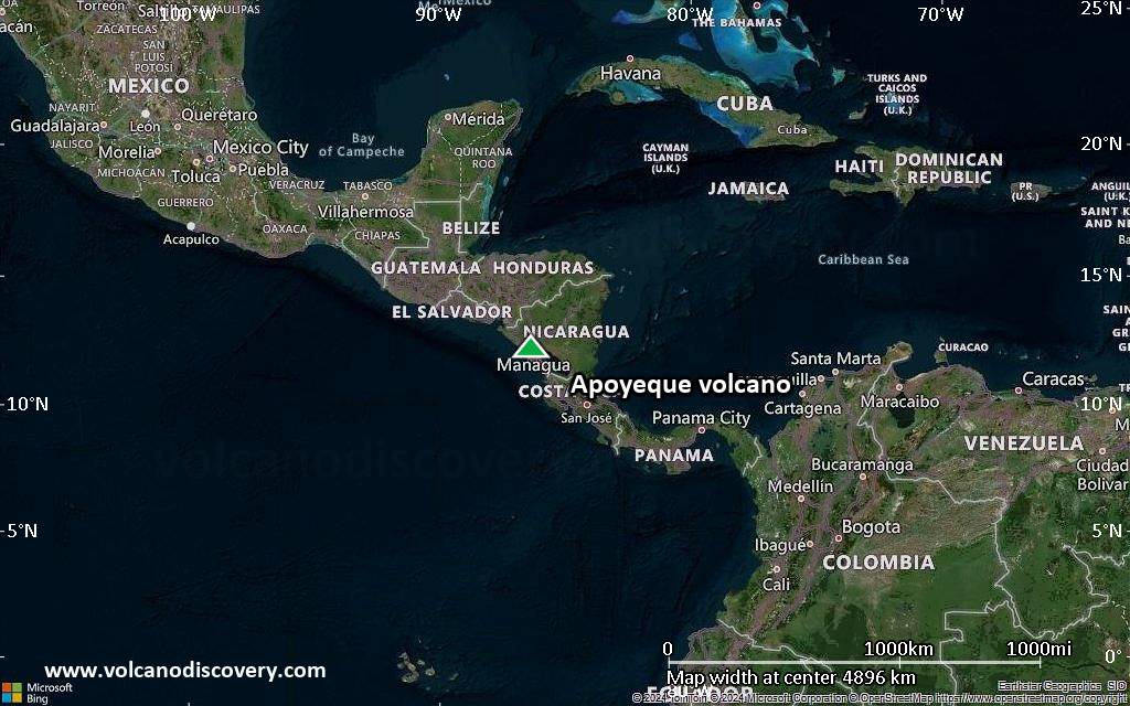
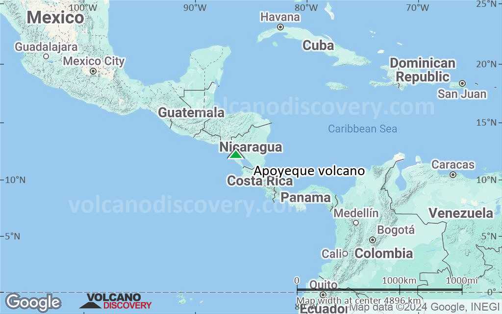
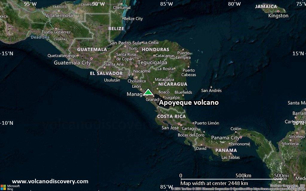
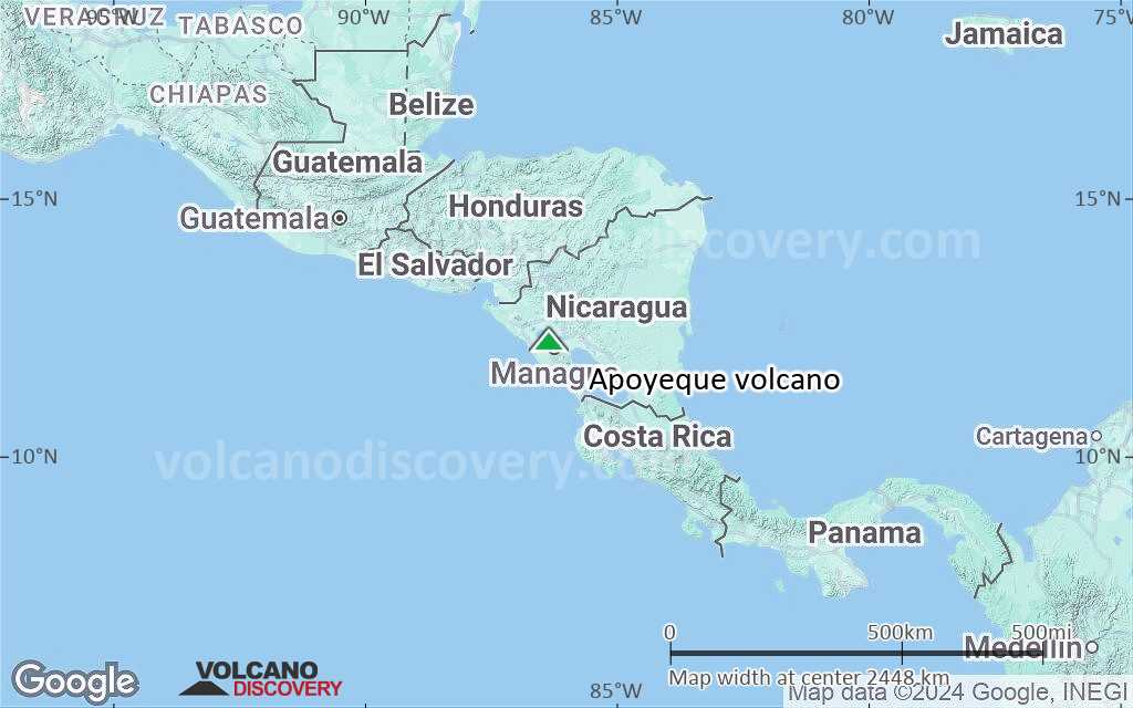
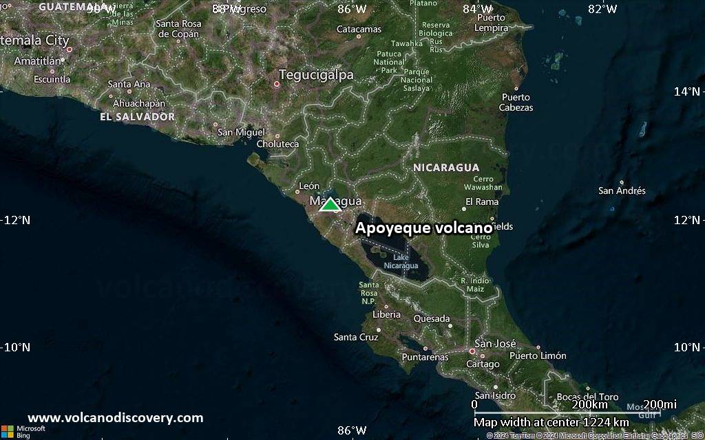
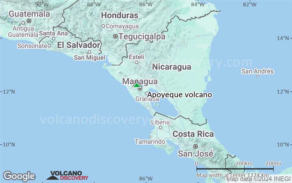
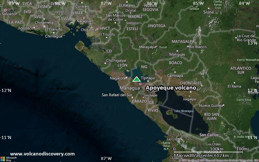
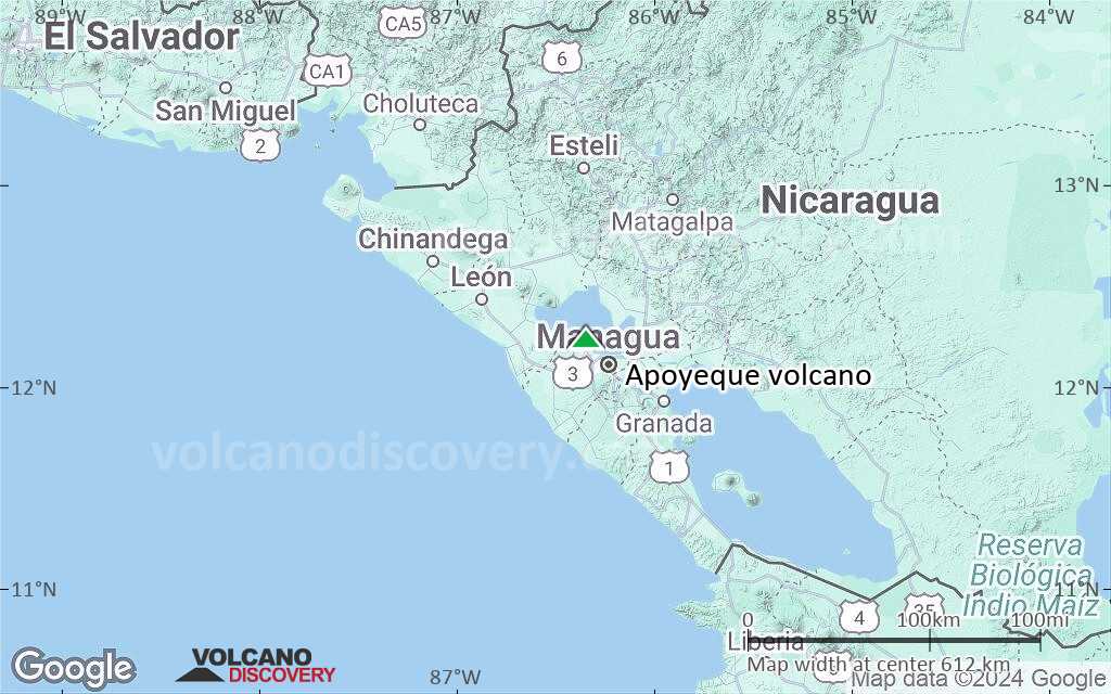
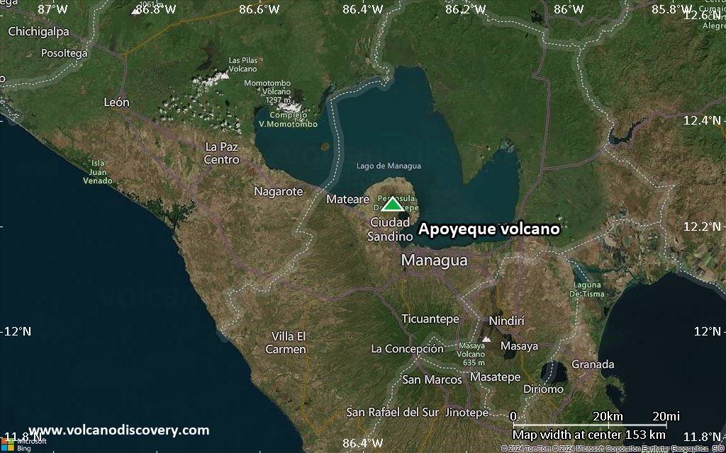
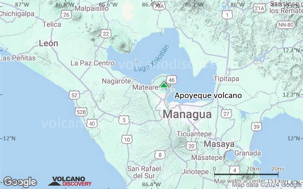
| RSS | EN | DE | EL | ES | FR | IT | RU

Apoyeque Volcano

Updated: May 21, 2025 10:23 GMT -
pyroclastic shield
Nicaragua, 12.24°N / -86.34°W
Summit height: 518 m / 1,699 ft
Current status: normal or dormant (1 out of 5)
Last update: 15 Dec 2021

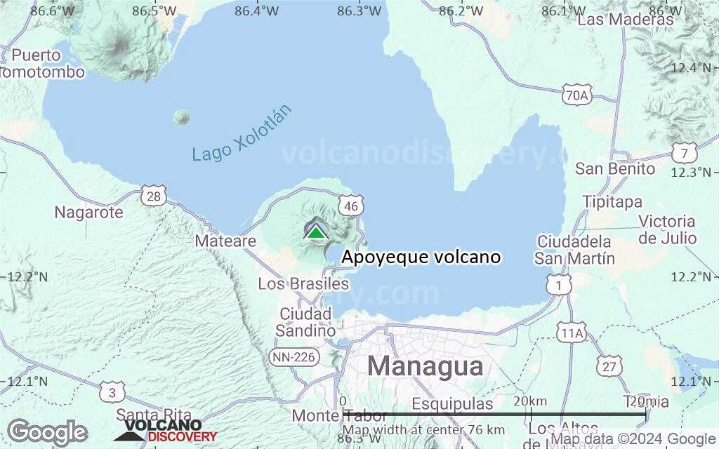
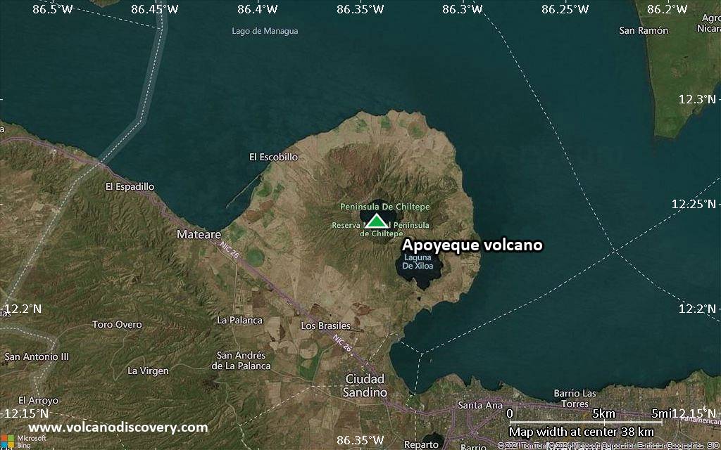
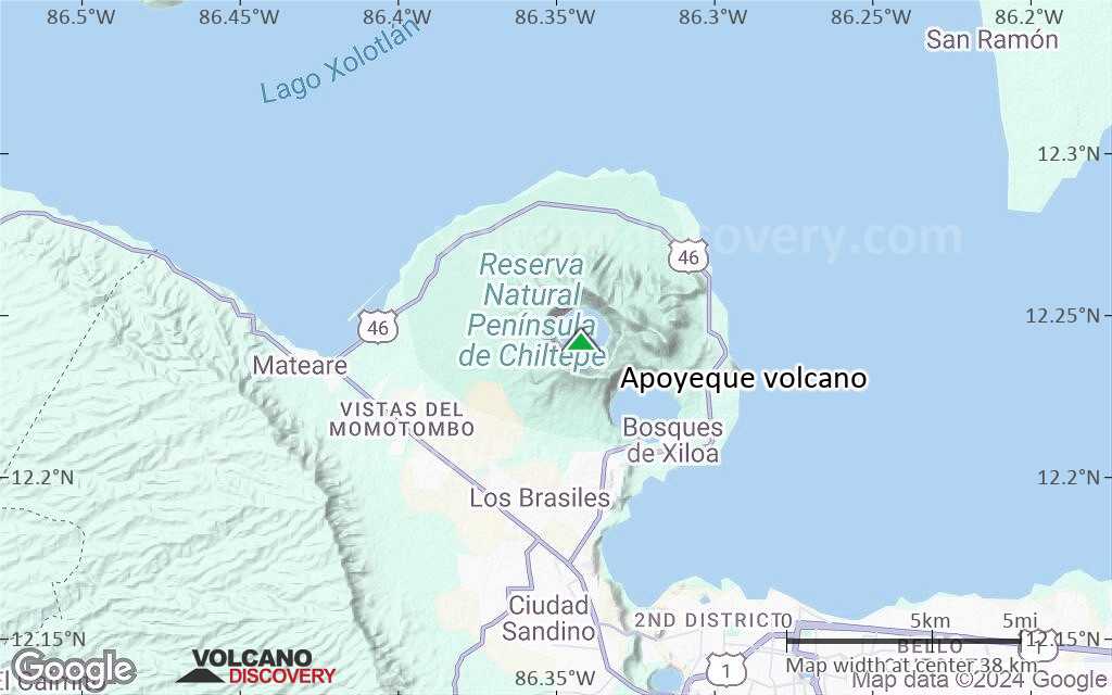
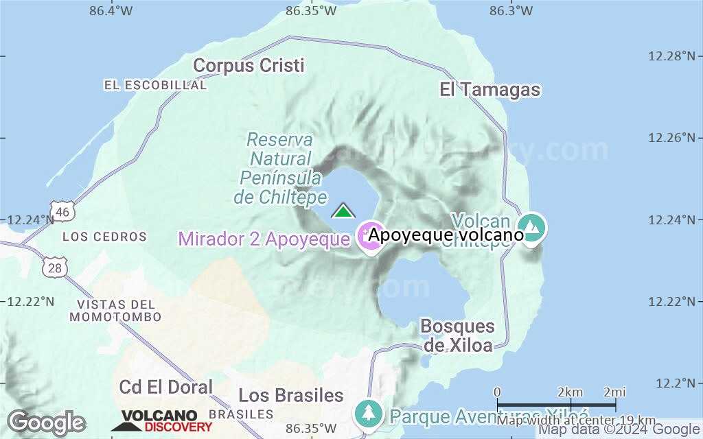
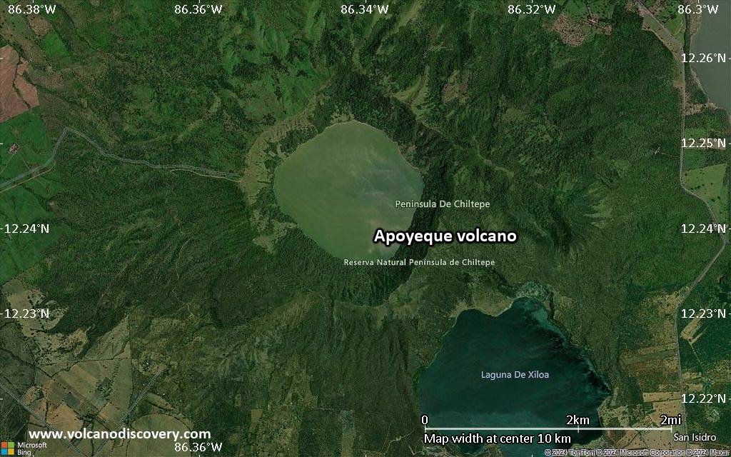
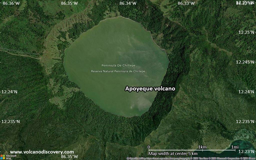
Apoyeque volcano forms the broad Chiltepe Peninsula in western Nicaragua and extends into south central Lake Managua
The Apoyeque volcano is part of a larger volcanic complex and consists of a low 500 m high shield cut by a 2.8 km wide and 400 deep lake-filled caldera and a 2.5 x 3 km wide explosion crater, the lake-filled Xiloá (Jiloá) maar, immediately SE of Apoyeque.
Present activity consists of active fumaroles in Laguna Xiloá and at the northern caldera rim.

[smaller] [larger]
Typical eruption style: explosive
Apoyeque volcano eruptions: 50 BC ± 100 (Chiltepe Tephra, Apoyeque), 1050 BC ± 100 (Los Cedros Tephra), 2550 BC ± 1000 (Mateare Tephra, West Chiltepe Peninsula), 4160 BC ± 30 (Laguna Xiloá)

Latest nearby earthquakes

Date and TimeMag / DepthDistance / Location

Background

Apoyeque is part of the Chiltepe pyroclastic shield volcano, one of 3 large ignimbrite shields on the Nicaraguan volcanic front. The caldera formed after a VEI 6 plinian eruption which left a thick mantle of dacitic pumice that blankets the surrounding area (Chiltepe Tephra).
Other features of the volcano include:
The Talpetatl lava dome was constructed between Laguna Xiloá and Lake Managua.
Pumiceous pyroclastic flows from Laguna Xiloá were erupted about 6100 years ago and overlie deposits of comparable age from the Masaya plinian eruption.
---
Source: Smithsonian / GVP Apoyeque volcano information

Significant volcanic eruptions: Apoyeque volcano

No historic eruptions are known from Apoyeque volcano, but evidence from at least 4 eruptions during the past 10,000 years can be found in the geological record.
The table below lists all known eruptions (date in bold face) of Apoyeque volcano in historic times and during the past 10,000 years. Updates on the most recent volcanic activity of Apoyeque can be found on the news page of Apoyeque volcano.
DateNoteVEIDeathsDamage
-50 BC
(eruption 50 ±100 y. BC)
6
Info
50 ±100 y. BCApoyeque6
1050 ±1000 y. BC4
2550 ±1500 y. BCW Chiltepe Peninsula5
4160 ±30 y. BCLaguna Xiloá5
Remark:
Our list of volcanic eruptions closely follows the database of eruptions of the Smithsonian's Global Volcanism Project (GVP), the internationally most recognized data source for volcanic eruptions, but also includes significant eruptive episodes or related volcano events. "Volcanic eruptions" are usually to be understood as sequences of individual eruptive episodes that can follow each other, or even overlap (if several vents are involved), and can last many years, decades or even longer. For example, the current activity of Stromboli volcano is understood as a single eruption that has been ongoing since 1934.
Sources: NOAA National Centers for Environmental Information (NCEI), Global Significant Volcanic Eruptions Database. doi:10.7289/V5TD9V7K | Global Volcanism Project / Smithsonian Institution

Apoyeque Volcano FAQ

+When was the last eruption of Apoyeque volcano?

+When was the largest eruption of Apoyeque volcano?

Latest satellite images

Apoyeque satellite image sat1Apoyeque satellite image sat2

Apoyeque Volcano Maps

Below is a selection of maps showing the location and surroundings of the volcano at various resolutions based on aerial-imagery / terrain maps. Feel free to use them for non-commercial purposes on your blog or website as long as you credit them with a link back to this page (click to copy it).
Satellite/aerial-type map of Apoyeque volcano (world scale)
Terrain-type map of Apoyeque volcano (world scale)
Satellite/aerial-type map of Apoyeque volcano (region scale large)
Terrain-type map of Apoyeque volcano (region scale large)
Satellite/aerial-type map of Apoyeque volcano (region scale medium)
Terrain-type map of Apoyeque volcano (region scale medium)
Satellite/aerial-type map of Apoyeque volcano (region scale small)
Terrain-type map of Apoyeque volcano (region scale small)
Satellite/aerial-type map of Apoyeque volcano (local scale large)
Terrain-type map of Apoyeque volcano (local scale large)
Satellite/aerial-type map of Apoyeque volcano (local scale medium)
Terrain-type map of Apoyeque volcano (local scale medium)
Satellite/aerial-type map of Apoyeque volcano (local scale small)
Terrain-type map of Apoyeque volcano (local scale small)
Satellite/aerial-type map of Apoyeque volcano (scale of 10s of km)
Terrain-type map of Apoyeque volcano (scale of 10s of km)
Satellite/aerial-type map of Apoyeque volcano (scale of 20-40 km)
Terrain-type map of Apoyeque volcano (scale of 20-40 km)
Satellite/aerial-type map of Apoyeque volcano (scale of approx. 10-20 km)
Terrain-type map of Apoyeque volcano (scale of approx. 10-20 km)
Satellite/aerial-type map of Apoyeque volcano (scale of 5-10 km)
Satellite/aerial-type map of Apoyeque volcano (scale of few kilometers)
Volcanoes & Earthquakes - new app for Android
Guaranteed tours
9-25 Jun 2025: Volcanoes and Spices - Sulawesi/Halmahera (Indonesia)
7-22 Jul 2025: From Krakatau to Bali - Java (Indonesia)
7-23 Jul 2025: Volcanoes and Spices - Sulawesi/Halmahera (Indonesia)
1-17 Aug 2025: Volcanoes and Spices - Sulawesi/Halmahera (Indonesia)
1-14 Oct 2025: Desert, salt and volcanoes - Danakil desert (Ethiopia)
4-12 Oct 2025: From Stromboli to Etna - Sicily and Eolian Islands (Italy)
6-21 Oct 2025: From Krakatau to Bali - Java (Indonesia)
3-19 Nov 2025: Volcanoes and Spices - Sulawesi/Halmahera (Indonesia)
= spaces available   = guaranteed   = few spaces left   = booked out
Tue, 11 Sep 2012, 10:05

Apoyeque volcano (Nicaragua) activity update: earthquakes have ceased

The seismicity in the eastern part of Apoyeque volcano beneath Laguna Xiloe seems to have ceased, with no more quakes recorded since 8 Sep. INETER writes that this behavior is similar to a similar series of quakes recorded in 2000 and that this seismicity is related to the active Nejapa fault. ... Read all
Mon, 10 Sep 2012, 08:39

Apoyeque volcano (Nicaragua) activity update: decreasing seismic activity

Map of recent quakes at Apoyeque volcano (INETER)
Seismicity around Apoyeque volcano near Managua City has been decreasing, INETER reports. On 8 Sep, there were still 3 earthquakes of magnitudes between 1.7-2.5 at depths between 3.7-7.8 km while no quakes were recorded on 9 Sep. INETER keeps a close watch on this area as well. ... Read all

On this page:

Try our free app!
Volcanoes & Earthquakes - new app for Android
Android | iOS version

More on VolcanoDiscovery

Why is there advertising on this site?

Support us - Help us upgrade our services!

We truly love working to bring you the latest volcano and earthquake data from around the world. Maintaining our website and our free apps does require, however, considerable time and resources.
We need financing to increase hard- and software capacity as well as support our editor team. We're aiming to achieve uninterrupted service wherever an earthquake or volcano eruption unfolds, and your donations can make it happen! Every donation will be highly appreciated. If you find the information useful and would like to support our team in integrating further features, write great content, and in upgrading our soft- and hardware, please make a donation (PayPal).

Planned features:Thanks to your past donations, these features have been added recently:
Download and Upgrade the Volcanoes & Earthquakes app to get one of the fastest seismic and volcano alerts online:
Android | IOS
Thank you!
Sources: VolcanoDiscovery / VolcanoAdventures and other sources as noted.
Use of material: Most text and images on our websites are owned by us. Re-use is generally not permitted without authorization. Contact us for licensing rights.
Volcanoes & Earthquakes
VolcanoDiscovery Home
Volcanoes | Earthquakes | Photos | Volcano News | | Shop | App
Adventure & Study Travel
Tours to Volcanoes and Volcanic Areas: walking tours, photo tours, study tours
Tours & Dates | FAQ | About us
Get our newsletter!
Company info
Contact | Legal info | Terms & conditions
Follow us
Follow us on facebook Follow us on Instagram Follow us on Bluesky Follow us on Twitter Visit our Youtube channel
EN | DE | EL | ES | FR | IT | RU
VolcanoDiscovery GmbH, Germany, Reg. nr.: HRB 103744, EU Tax Id: DE 297 465 123 owned and created by
Dr. Tom Pfeiffer, volcanologist, volcano photographer, tour organizer member of
IAVCEI
IAVCEI
Vulkanologische Gesellschaft
Volcanological Society
Ecotourism Greece
Ecotourism Greece
RUV insurance
Insured by R+V
VolcanoDiscovery © 2004- All Rights Reserved | Privacy - Cookie Settings