Aragats Volcano
Updated: May 29, 2025 02:31 GMT -
stratovolcano
Armenia, 40.52°N / 44.2°E 
Summit height: 4095 m
Current status: normal or dormant (1 out of 5)
Aragats is a large andesitic-to-dacitic stratovolcano in NW Armenia about 40 km NW of the capital city of Yerevan.
[smaller] [larger]
Aragats volcano eruptions: 3000 BC
Latest nearby earthquakes
| Date and Time | Mag / Depth | Distance / Location | |||
|---|---|---|---|---|---|
Background
The 4095-m-high main edifice of Aragats is dissected by glaciers and is of Pliocene-to-Pleistocene age. Satellitic cones and fissures are located on all sides of the volcano and were the source of large lava flows that descended its lower flanks. Several of these were considered to be of Holocene age, but later Potassium-Argon dating indicated mid- to late-Pleistocene ages. The youngest lower-flank flows have not been precisely dated, but are constrained as occurring between the end of the late-Pleistocene and 3000 BC (Kharakanian et al., 2003). A 13-km-long, WSW-ENE-trending line of craters and pyroclastic cones cuts across the northern crater rim and is the source of young lava flows and lahars; the latter were considered to be characteristic of Holocene summit eruptions.Aragats Volcano Photos
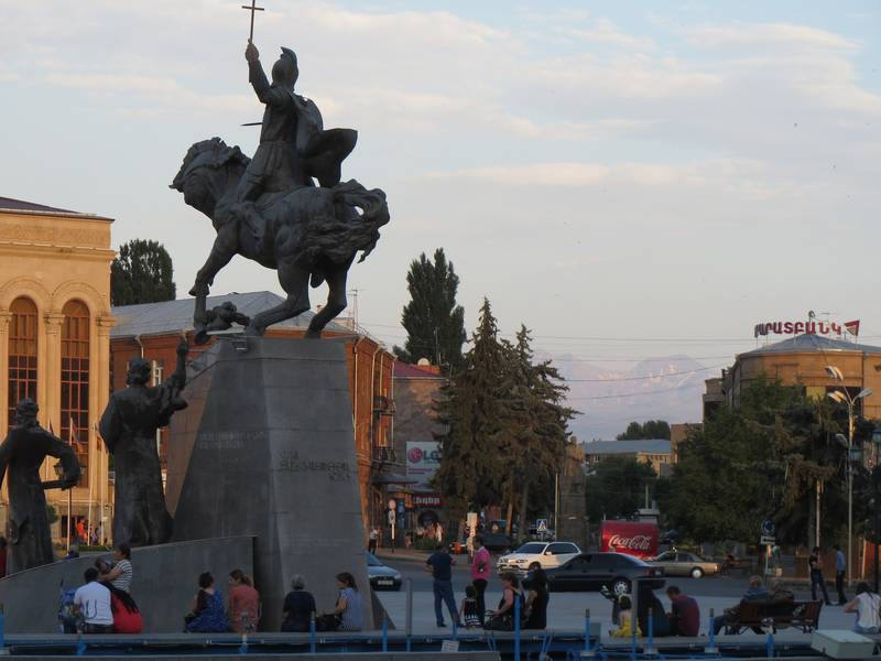
Main Square in Gjumri at dawn, peak of Aragats stratovolcano in the background, Armenia (Photo: WNomad)
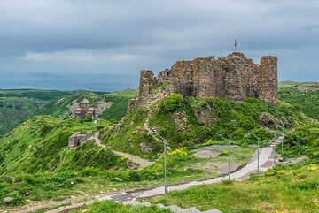
Amberd fortress, dating back to the 10th century, is located at 2,300 meters above sea level on the slopes of Mount Aragats volcano NW of the capital Yerevan. (Photo: Tom...
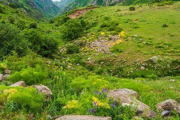
Aragats landscape (Photo: Tom Pfeiffer)
Latest satellite images
Aragats Volcano Tours
Armenia
Land of History
12-day walking & study tour to Armenia
12 days / 11 nights - Easy to Moderate
Price 2500 €
Price 2500 €
no scheduled dates at present
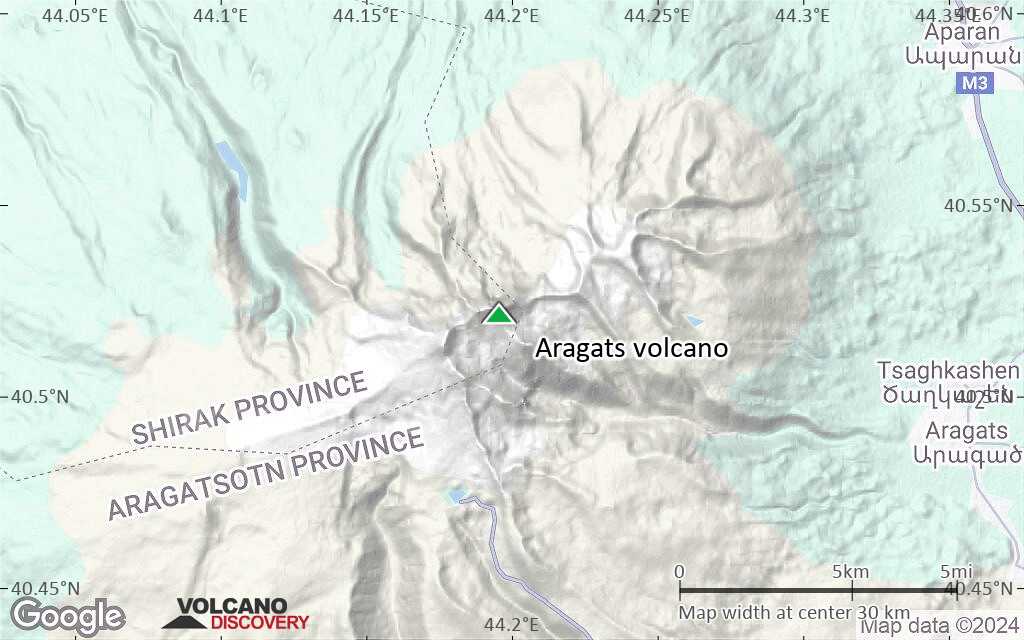
Aragats Volcano Maps
Below is a selection of maps showing the location and surroundings of the volcano at various resolutions based on aerial-imagery / terrain maps. Feel free to use them for non-commercial purposes on your blog or website as long as you credit them with a link back to this page (click to copy it).

Satellite/aerial-type map of Aragats volcano (world scale)

Terrain-type map of Aragats volcano (world scale)

Satellite/aerial-type map of Aragats volcano (region scale large)

Terrain-type map of Aragats volcano (region scale large)

Satellite/aerial-type map of Aragats volcano (region scale medium)

Terrain-type map of Aragats volcano (region scale medium)

Satellite/aerial-type map of Aragats volcano (region scale small)

Terrain-type map of Aragats volcano (region scale small)

Satellite/aerial-type map of Aragats volcano (local scale large)

Terrain-type map of Aragats volcano (local scale large)

Satellite/aerial-type map of Aragats volcano (local scale medium)

Terrain-type map of Aragats volcano (local scale medium)

Satellite/aerial-type map of Aragats volcano (local scale small)

Terrain-type map of Aragats volcano (local scale small)

Satellite/aerial-type map of Aragats volcano (scale of 10s of km)

Terrain-type map of Aragats volcano (scale of 10s of km)

Satellite/aerial-type map of Aragats volcano (scale of 20-40 km)
Terrain-type map of Aragats volcano (scale of 20-40 km)

Satellite/aerial-type map of Aragats volcano (scale of approx. 10-20 km)

Terrain-type map of Aragats volcano (scale of approx. 10-20 km)

Satellite/aerial-type map of Aragats volcano (scale of 5-10 km)

Satellite/aerial-type map of Aragats volcano (scale of few kilometers)