


Arayat Volcano
Updated: Sep 2, 2025 22:51 GMT -
stratovolcano
Luzon Island (Philippines), 15.2°N / 120.74°E 
Summit height: 1026 m / 3,366 ft
Current status: normal or dormant (1 out of 5)
Arayat is a forested stratovolcano above the flat Central Plain of Luzon Island and located NE of Angeles city, Philippines. It belongs to the Eastern Volcanic Chain, which includes Mounts Balungao, Cuyapo, Amorong and Arayat volcanoes.
Mt. Arayat's cone is probably built upon an older crater of 900 m diameter, whose remnants form the northern (1026 m) and southern (920 m) peaks.
There are no known eruptions in historic times, but weak fumarolic activity is present on the NW summit of Arayat volcano.
[smaller] [larger]
Arayat volcano eruptions: probably within the past 10,000 years
Latest nearby earthquakes
| Date and Time | Mag / Depth | Distance / Location | |||
|---|---|---|---|---|---|
Background
A large breached crater on the WNW side was formed by a large debris avalanche that occurred within the past 500,000 years and left a large hummocky deposit in the plain at the W and NW feet the volcano.Post-collapse volcanic activity formed the White Rock andesitic lava dome inside the collapse scar.
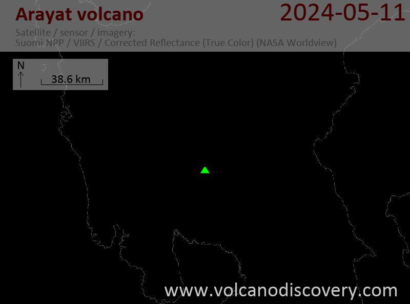
Latest satellite images

Arayat Volcano Maps
Below is a selection of maps showing the location and surroundings of the volcano at various resolutions based on aerial-imagery / terrain maps. Feel free to use them for non-commercial purposes on your blog or website as long as you credit them with a link back to this page (click to copy it).
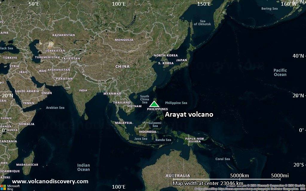
Satellite/aerial-type map of Arayat volcano (world scale)
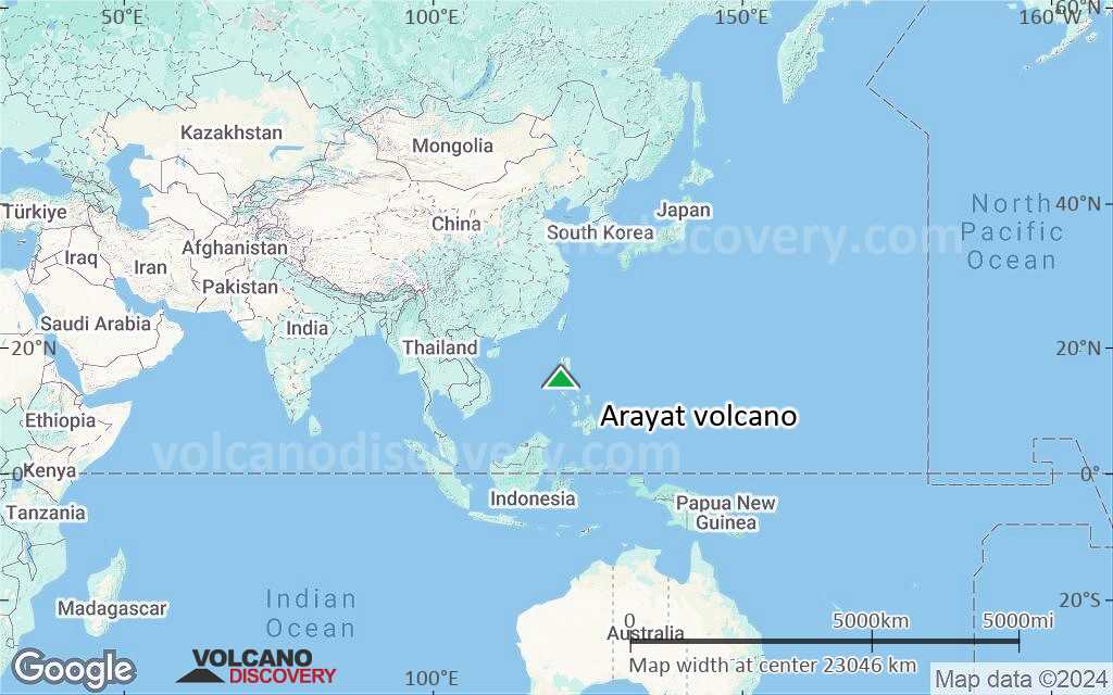
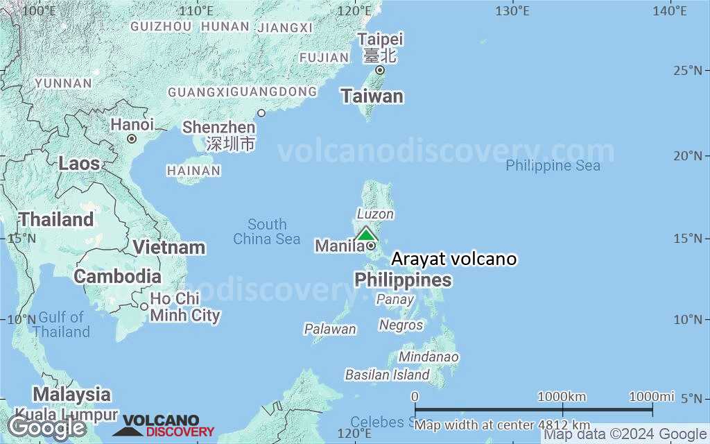
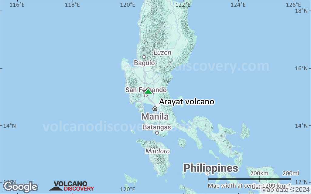
Terrain-type map of Arayat volcano (world scale)
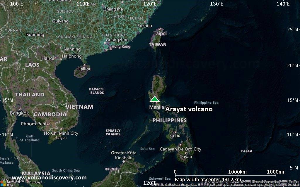
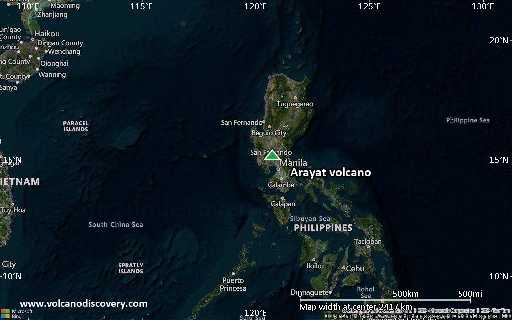
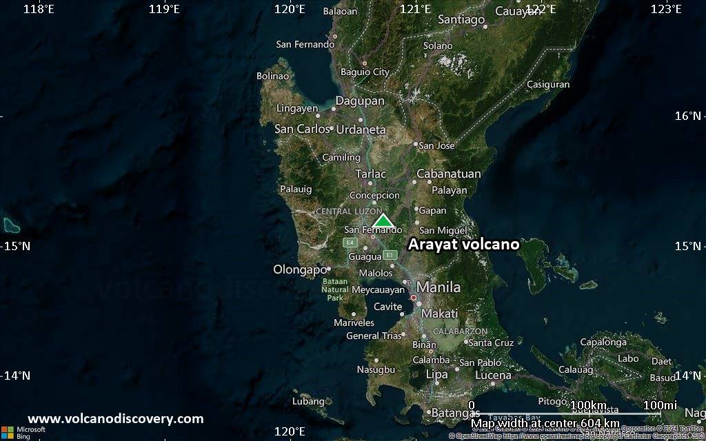
Satellite/aerial-type map of Arayat volcano (region scale large)
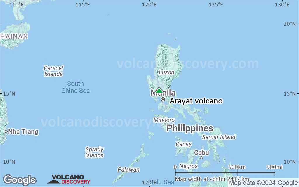
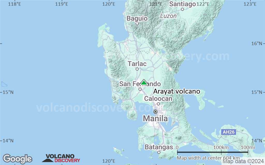
Terrain-type map of Arayat volcano (region scale large)
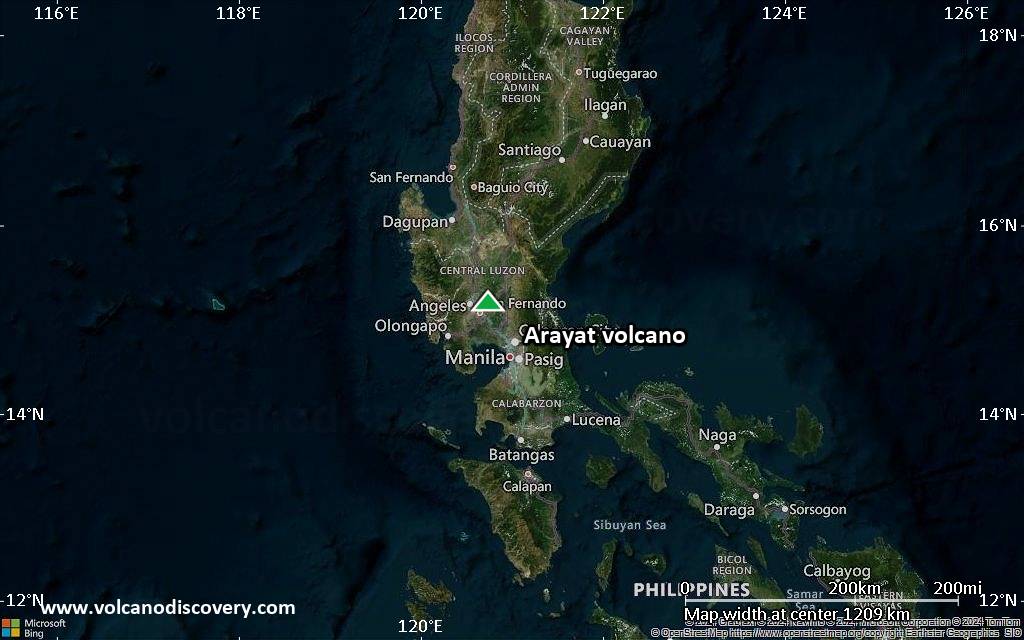
Satellite/aerial-type map of Arayat volcano (region scale medium)
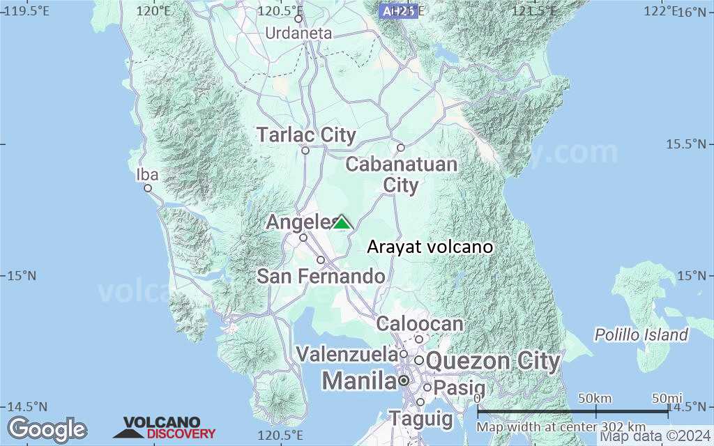
Terrain-type map of Arayat volcano (region scale medium)
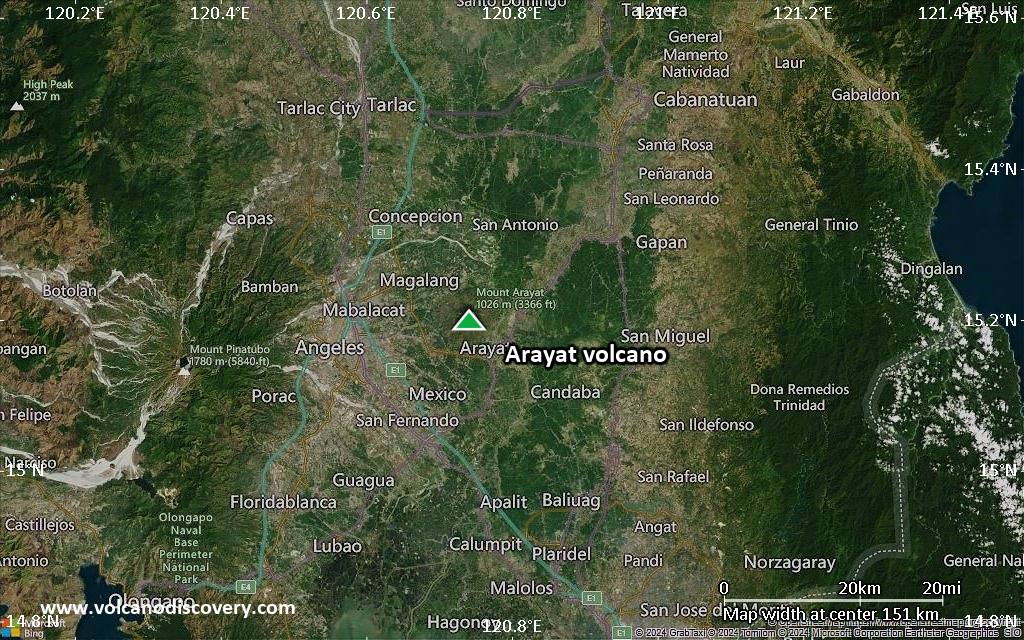
Satellite/aerial-type map of Arayat volcano (region scale small)
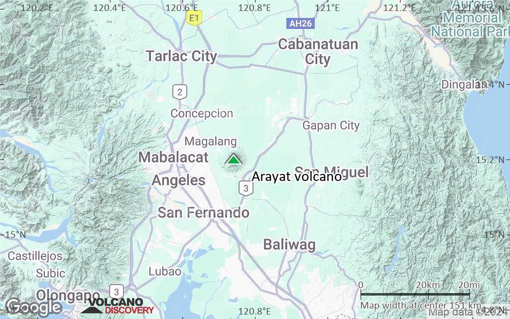
Terrain-type map of Arayat volcano (region scale small)
Satellite/aerial-type map of Arayat volcano (local scale large)
Terrain-type map of Arayat volcano (local scale large)

Satellite/aerial-type map of Arayat volcano (local scale medium)
Terrain-type map of Arayat volcano (local scale medium)
Satellite/aerial-type map of Arayat volcano (local scale small)
Terrain-type map of Arayat volcano (local scale small)
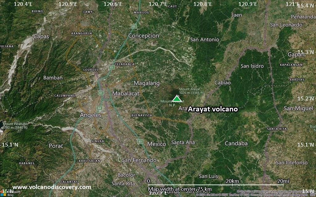
Satellite/aerial-type map of Arayat volcano (scale of 10s of km)
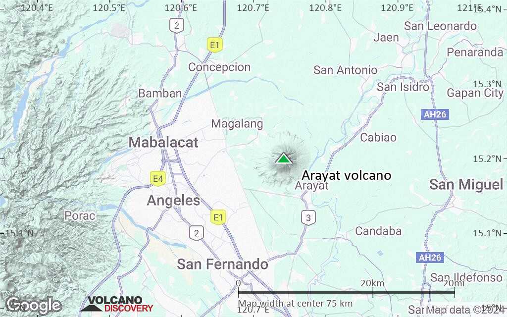
Terrain-type map of Arayat volcano (scale of 10s of km)
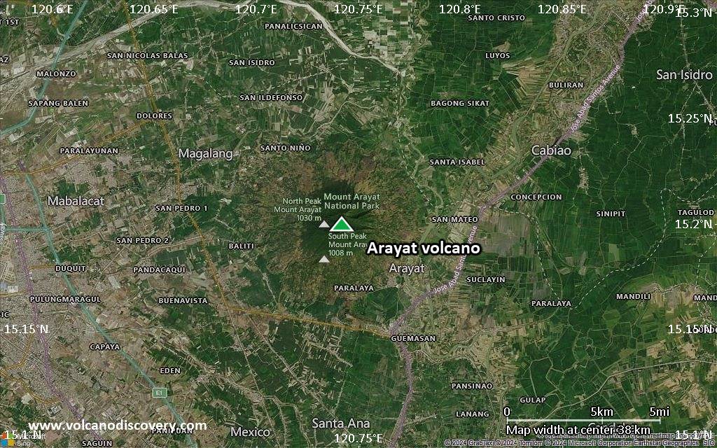
Satellite/aerial-type map of Arayat volcano (scale of 20-40 km)

Terrain-type map of Arayat volcano (scale of 20-40 km)

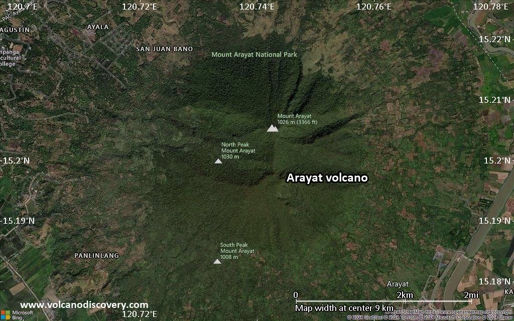
Satellite/aerial-type map of Arayat volcano (scale of approx. 10-20 km)

Terrain-type map of Arayat volcano (scale of approx. 10-20 km)
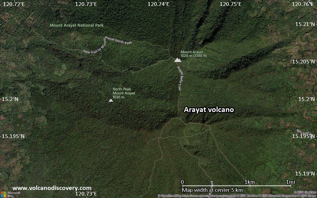
Satellite/aerial-type map of Arayat volcano (scale of 5-10 km)
Satellite/aerial-type map of Arayat volcano (scale of few kilometers)


