Contact | RSS | EN | DE | EL | ES | FR | IT | RU

Babuyan Claro Volcano

Updated: Apr 27, 2024 21:59 GMT -
stratovolcano 1080+ m / 3,543 ft
North of Luzon (Philippines), 19.52°N / 121.94°E
Current status: normal or dormant (1 out of 5)

Babuyan Claro (Mt. Pangasun) is the largest and second youngest of 5 volcanoes that built up Babuyan Island, 100 km off the north coast of Luzon, Philippines. Babuyan Claro is an active stratovolcano of ca. 7 cubic km volume and has 2 summit craters of 300 and 400 m in diameter.
Smith volcano (Mt. Babuyan) 4 km to the NW of Babuyan Claro is the youngest volcano on the island and forms a beautiful 668 m high symmetrical basaltic-andesite cinder cone with ca. 3 cubic km volume.
Both Babuyan Claro and Smith volcanoes have apparently been active in historical time, although it is not always certain which volcano erupted. Eruptions at Babuyan Claro are typically strombolian and/or phreatomagmatic.
The Askedna Hot Spring is located at the southern base of Babuyan Claro.

[smaller] [larger]
Typical eruption style: explosive
Babuyan Claro volcano eruptions: 1917, 1913, 1860, 1831

Latest nearby earthquakes

No recent earthquakes
TimeMag. / DepthDistance / Location

Background

The oldest volcanoes (Cayonan, Naydi, and Dionisio) started to form 1.7 million years ago and consist mainly of calc-alkaline andesitic and basaltic andesitic lava flows.

Eruptions of Babuyan Claro volcano


1980 landslide
Hot mudflows were triggered by a landslide 600 m above sea level on the NW flank of Babuyan Claro volcano in early February 1980. The mudflows (lahars) damaged rice fields and roads, and forced the evacuation of nearby residents. (Source: GVP monthly reports)

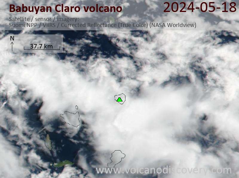
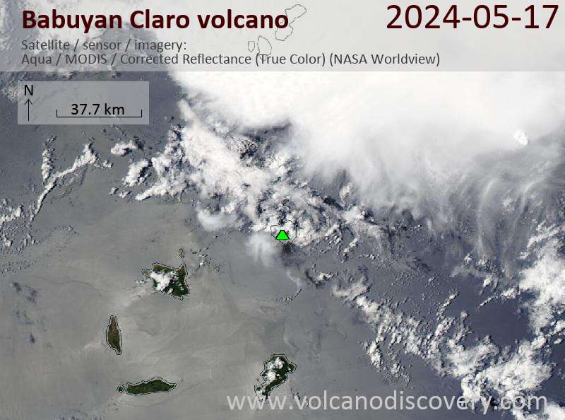
Latest satellite images

BabuyanClaro satellite image sat1BabuyanClaro satellite image sat2

No news in this list.

On this page:

Try our free app!
Volcanoes & Earthquakes - new app for Android
Android | iOS version

More on VolcanoDiscovery

Why is there advertising on this site?

Support us - Help us upgrade our services!

We truly love working to bring you the latest volcano and earthquake data from around the world. Maintaining our website and our free apps does require, however, considerable time and resources.
We need financing to increase hard- and software capacity as well as support our editor team. We're aiming to achieve uninterrupted service wherever an earthquake or volcano eruption unfolds, and your donations can make it happen! Every donation will be highly appreciated. If you find the information useful and would like to support our team in integrating further features, write great content, and in upgrading our soft- and hardware, please make a donation (PayPal or Online credit card payment).

Planned features:Thanks to your past donations, these features have been added recently:
Download and Upgrade the Volcanoes & Earthquakes app to get one of the fastest seismic and volcano alerts online:
Android | IOS
Thank you!
Sources: VolcanoDiscovery / VolcanoAdventures and other sources as noted.
Use of material: Most text and images on our websites are owned by us. Re-use is generally not permitted without authorization. Contact us for licensing rights.
Volcanoes & Earthquakes
VolcanoDiscovery Home
Volcanoes | Earthquakes | Photos | Volcano News | App
Adventure & Study Travel
Tours to Volcanoes and Volcanic Areas: walking tours, photo tours, study tours
Tours & Dates | FAQ | About us
Get our newsletter!
Company info
Contact | Legal info | Terms & conditions
Follow us
Follow us on facebook Follow us on Instagram Follow us on Twitter Visit our Youtube channel
EN | DE | EL | ES | FR | IT | RU
VolcanoDiscovery GmbH, Germany, Reg. nr.: HRB 103744, EU Tax Id: DE 297 465 123 owned and created by
Dr. Tom Pfeiffer, volcanologist, volcano photographer, tour organizer member of
IAVCEI
IAVCEI
Vulkanologische Gesellschaft
Volcanological Society
Ecotourism Greece
Ecotourism Greece
RUV insurance
Insured by R+V
VolcanoDiscovery © 2004- All Rights Reserved | Privacy - Cookie Settings