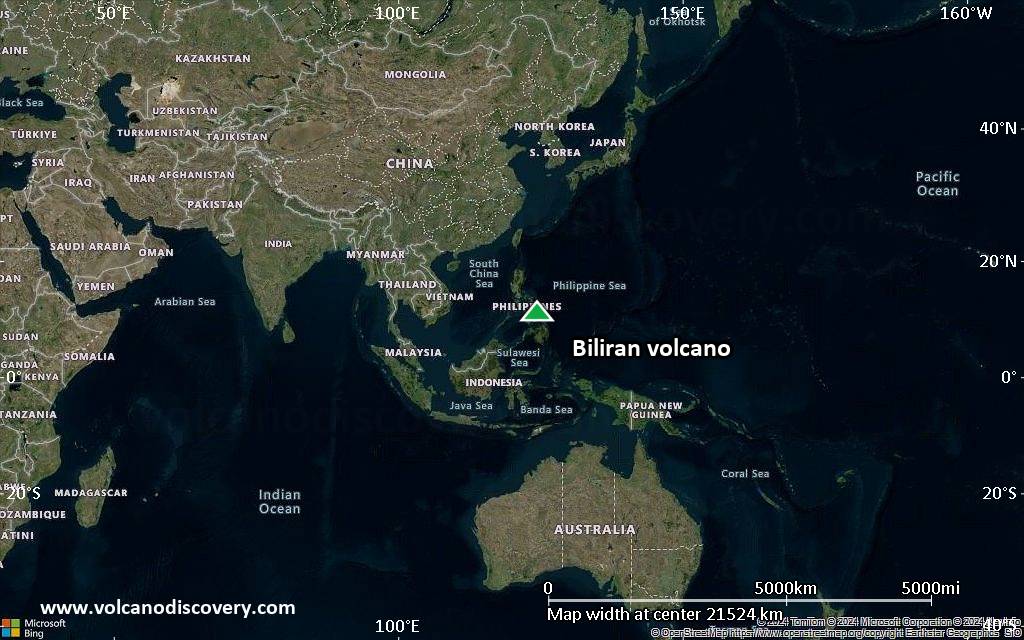
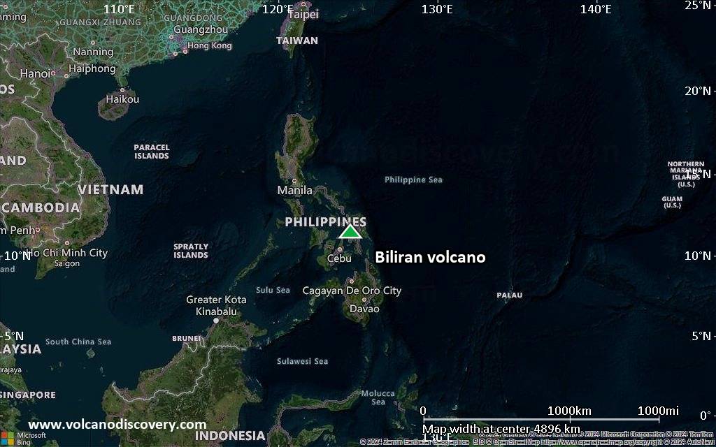
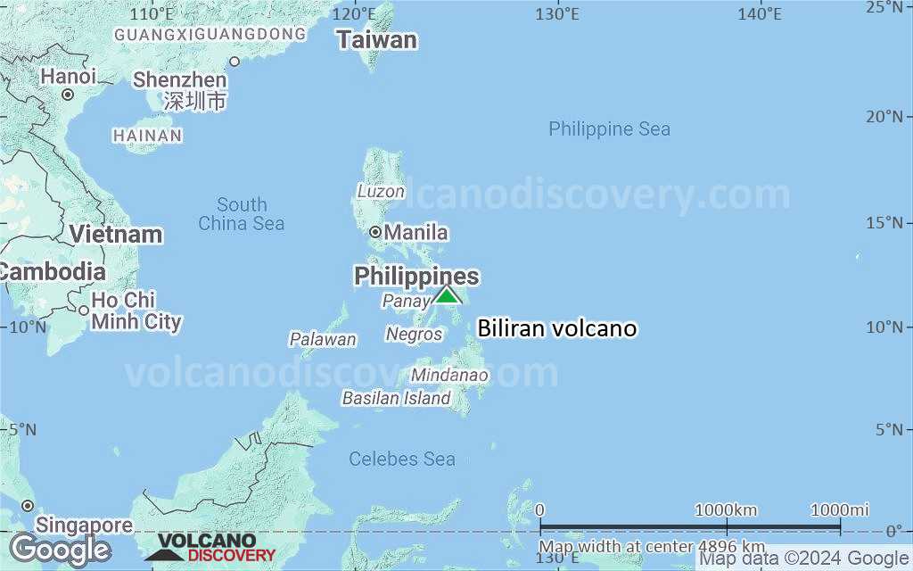
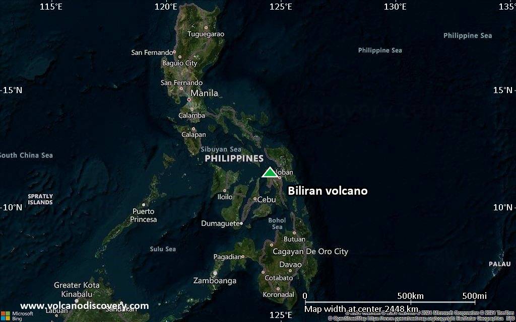
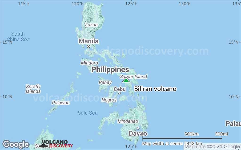
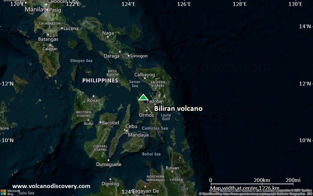
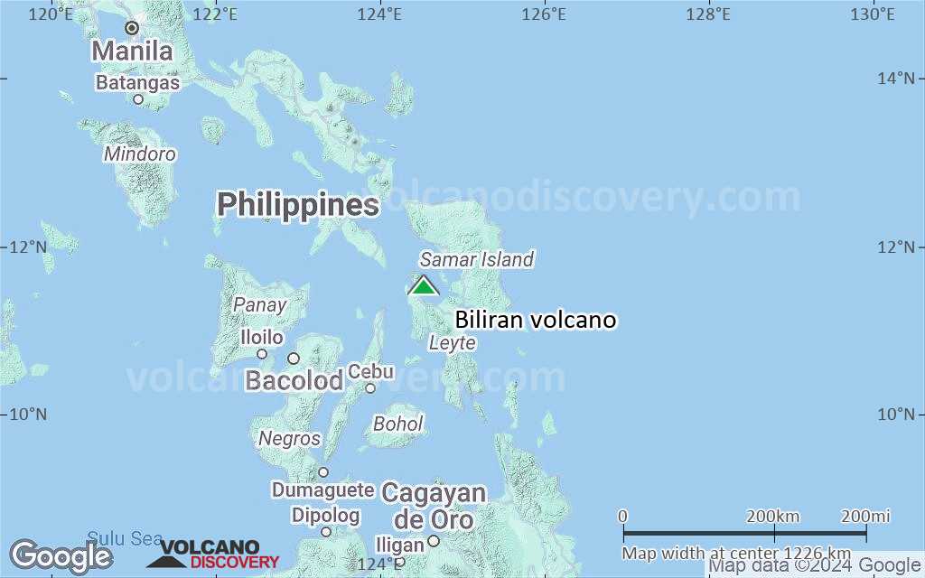
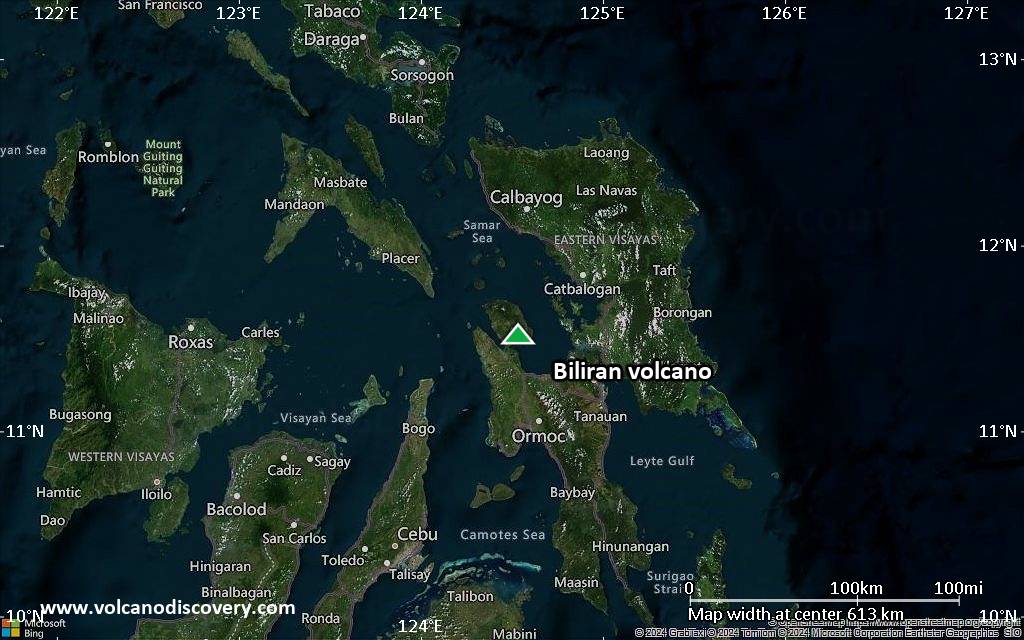
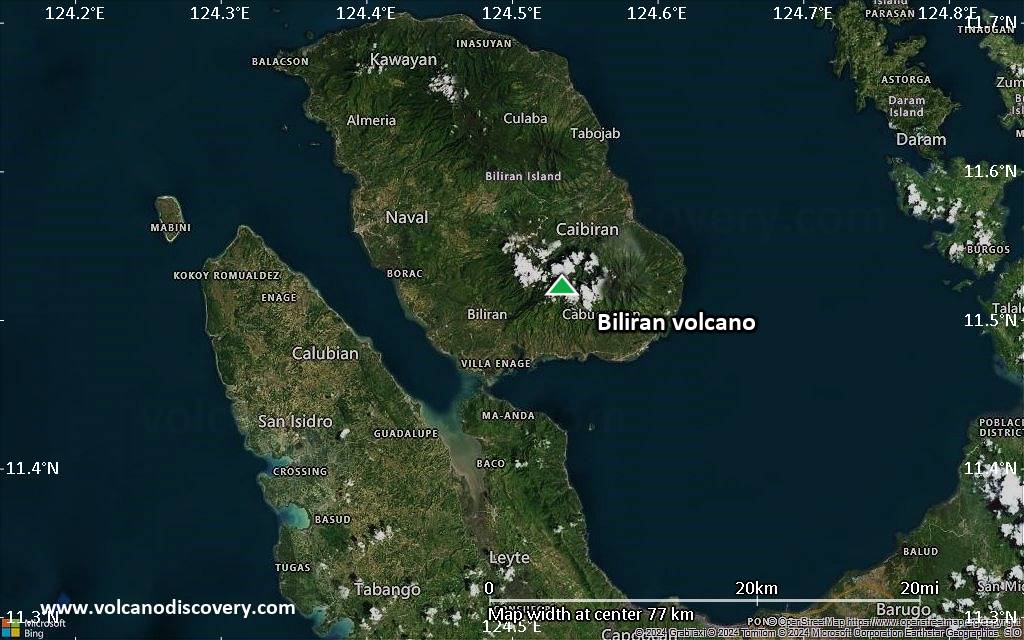
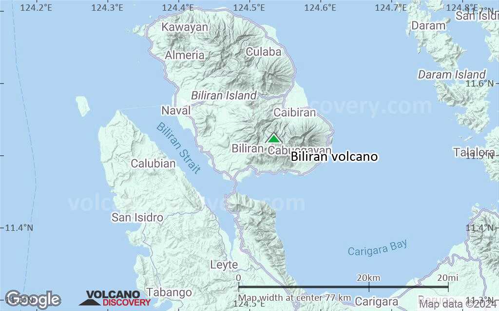
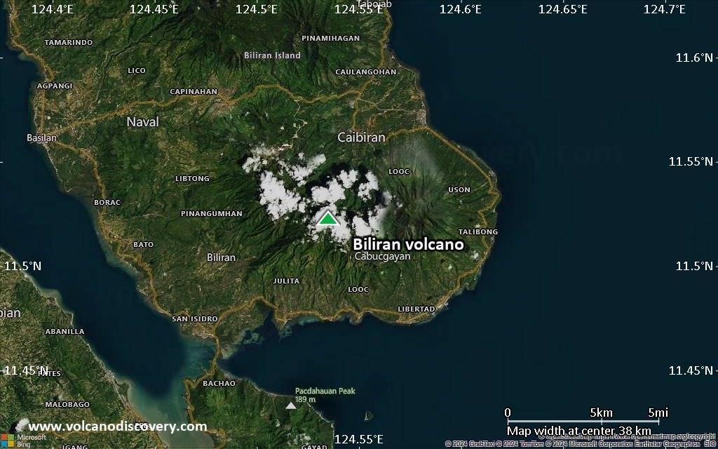
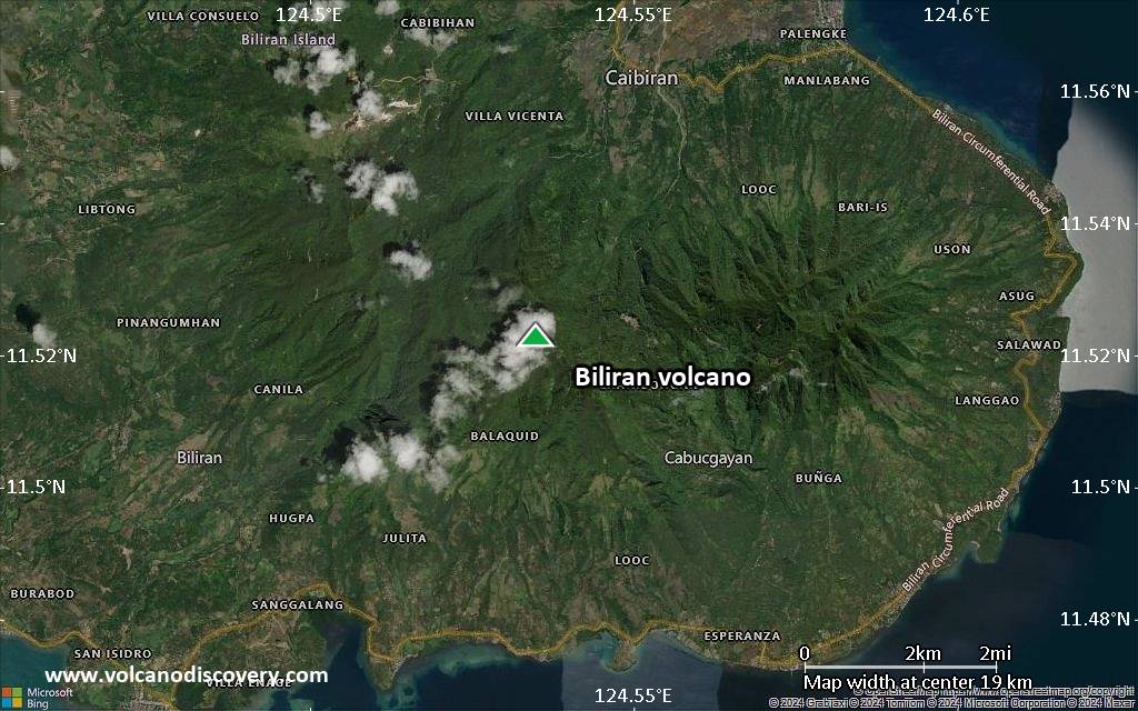
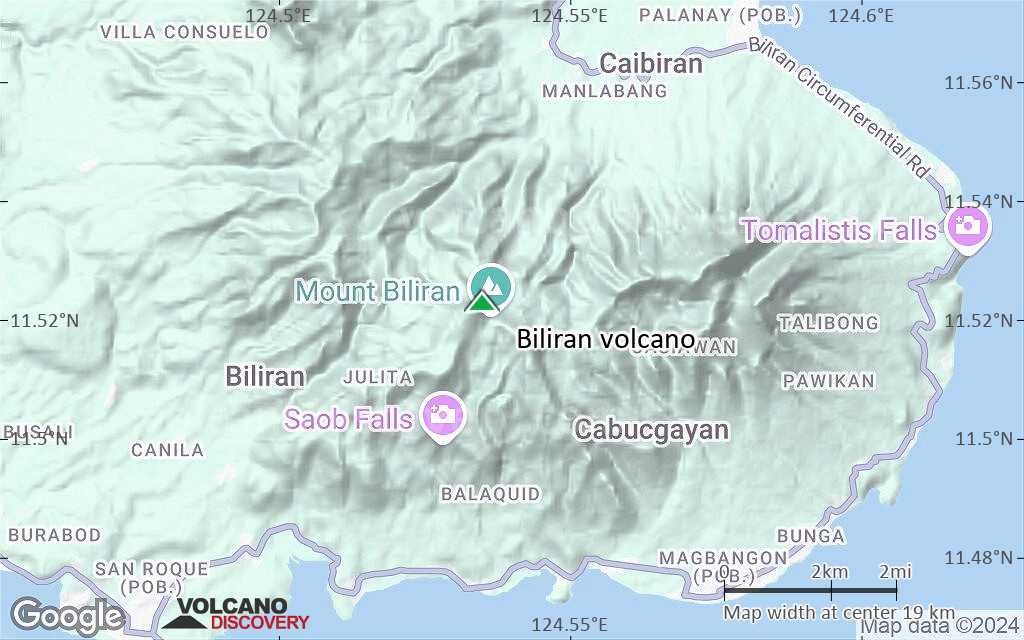
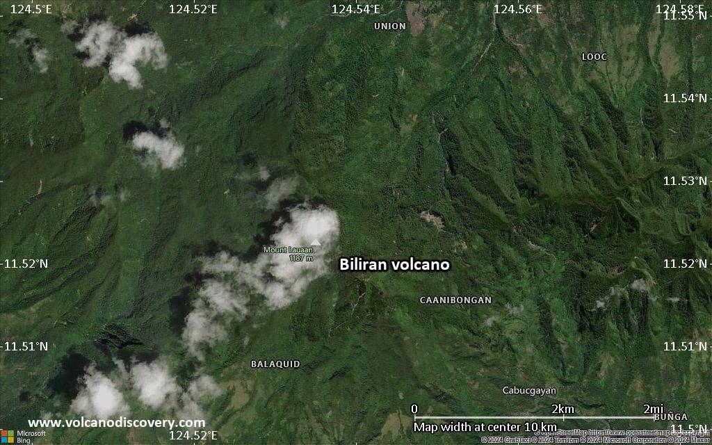
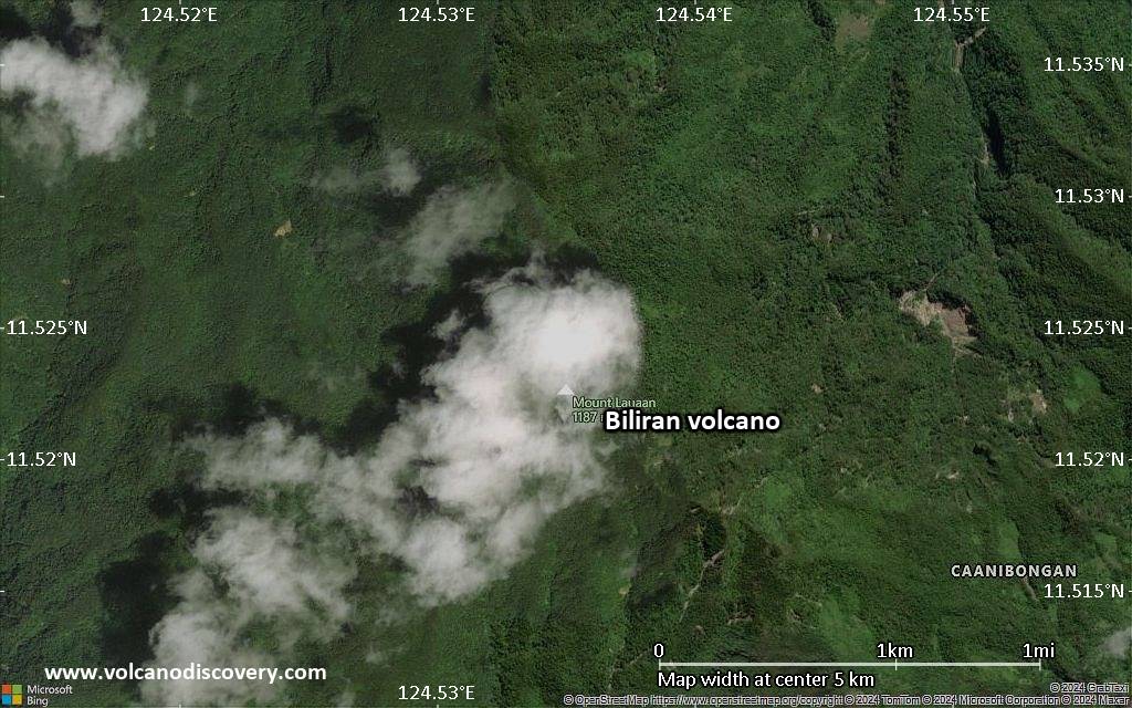
Biliran Volcano
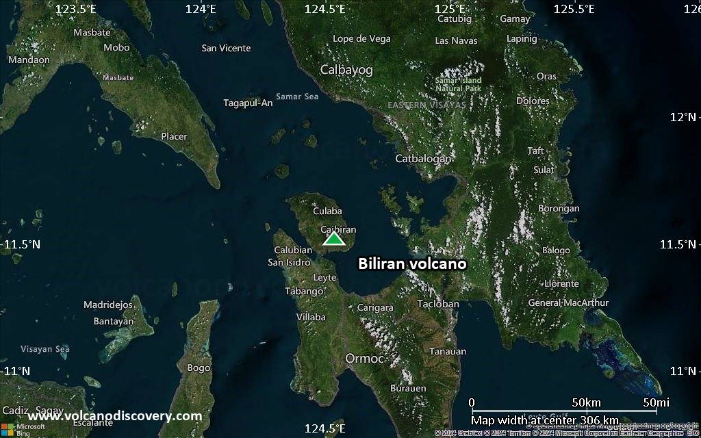
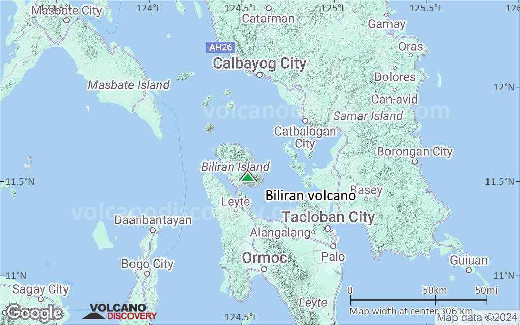
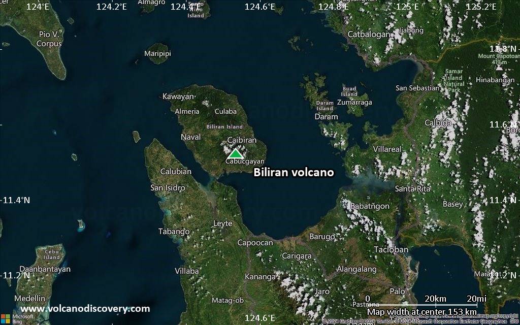
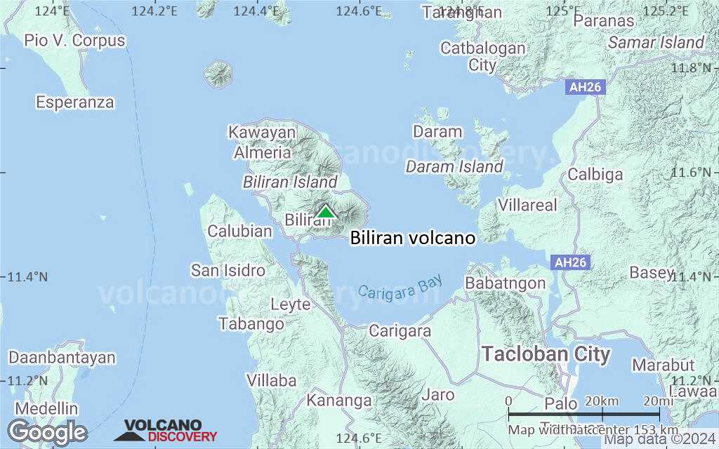
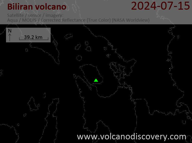
Biliran volcano comprises the whole 20x35 km Island of Biliran which is formed by a group of lava domes. It is located across the narrow Biliran Strait from the northern tip of Leyte Island.
Biliran volcano is at the northern end of a 170 km long volcanic chain extending SSE to Panaon Island.
The only known historic activity took place on 26 September 1939 and consisted of a phreatic explosion accompanied possibly by a debris avalanche. Ash fell in Caibiran town 12 km to the E.
There are many fumarole fields, hot springs, mud pools and thermal areas on Biliran.
Biliran volcano eruptions: 1939
Latest nearby earthquakes
| Date and Time | Mag / Depth | Distance / Location | |||
|---|---|---|---|---|---|
| May 1, 11:38 am (GMT +8) | 2.2 1 km | 12 km (7.5 mi) to the W | Info | ||
| Wednesday, April 30, 2025 GMT (1 quake) | |||||
| Apr 30, 07:56 pm (GMT +8) | 3.0 26 km | 10.4 km (6.5 mi) to the N | Info | ||
| Tuesday, April 29, 2025 GMT (2 quakes) | |||||
| Apr 29, 11:43 pm (Universal Time) | 1.8 21 km | 20 km (12 mi) to the NE | Info | ||
| Apr 29, 09:53 pm (Universal Time) | 2.2 6 km | 28 km (17 mi) to the S | Info | ||
| Sunday, April 27, 2025 GMT (3 quakes) | |||||
| Apr 27, 08:57 pm (GMT +8) | 2.1 3 km | 16 km (9.7 mi) to the W | Info | ||
| Apr 27, 09:02 am (Universal Time) | 2.0 22 km | 20 km (12 mi) to the NW | Info | ||
| Apr 27, 07:52 am (Universal Time) | 1.9 6 km | 27 km (17 mi) to the W | Info | ||
| Sunday, April 20, 2025 GMT (1 quake) | |||||
| 21 April - 04:55 AM (PST) | 2.1 15 km | 28 km (18 mi) to the S | Info | ||
| Friday, April 18, 2025 GMT (1 quake) | |||||
| 19 April - 03:10 AM (PST) | 2.1 2 km | 8.3 km (5.2 mi) to the W | Info | ||
Significant volcanic eruptions: Biliran volcano
| Date | Note | VEI | Deaths | Damage | |
|---|---|---|---|---|---|
Historical obs./docs. | 1? | ||||
Biliran Volcano FAQ
+When was the last eruption of Biliran volcano?
The last confirmed eruption of Biliran occurred in 1939.
+How often does Biliran volcano erupt?
There are no known historic eruptions, but evidence from geologic records shows that it has had at least 1 eruptions over the past 10,000 years. This number is likely much higher because many past eruptions might not have left evidence recognizeable today and/or the volcano might not have been studied in too much detail. Using the available data, a very conservative estimate is that Biliran volcano erupts every 10,000 years.
+How active is Biliran volcano at present?
Biliran volcano is occasionally active: Since 1900, it has had one eruption, which occurred in 1939.
+When was the largest eruption of Biliran volcano?
The largest eruption of Biliran volcano in historic times occurred in 1939. It only has a VEI (Volcanic Explosivity Index) of 1, likely because it was a mainly effusive eruption generating lava flows but very little ash.
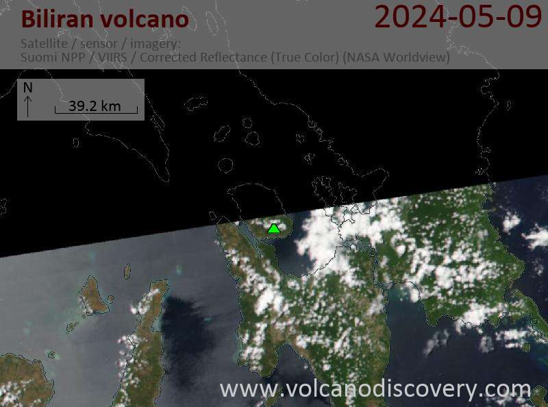
Latest satellite images
Biliran Volcano Maps