Cheb Basin volcanic area Volcano
Updated: Aug 29, 2025 02:14 GMT -
volcanic field
Czechia, 49.97°N / 12.39°E 
Summit height: 585 m / 1919 ft
Current status: normal or dormant (1 out of 5)
An area of NW Bohemia near the border with Germany, known as the Czech Auvergne, contains small basaltic volcanoes of Miocene-to-Pleistocene age and world-renowned hot springs.
Two cinder cones and a maar are found in the Cheb Basin area of the western Eger Rift; the Cheb Basin is an area of carbon dioxide dominated surface degassing in mofettes and mineral springs and active seismicity.
(Sourcer: GVP)
[smaller] [larger]
News/Updates | Earthquakes
Typical eruption style: explosive - effusiveCheb Basin volcanic area volcano eruptions: approx. 300.000 years ago (lava flows from Eisenbühl)
Latest nearby earthquakes
| Date and Time | Mag / Depth | Distance / Location | |||
|---|---|---|---|---|---|
| Aug 19, 07:46 pm (Universal Time) | 0.7 7.3 km | 25 km (16 mi) to the N | Info | ||
| Sunday, August 17, 2025 GMT (1 quake) | |||||
| Aug 17, 07:20 pm (GMT +2) | 0.4 8.1 km | 25 km (16 mi) to the N | Info | ||
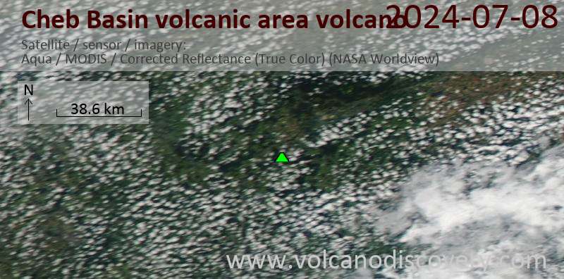
Latest satellite images
Cheb Basin volcanic area Volcano Maps
Below is a selection of maps showing the location and surroundings of the volcano at various resolutions based on aerial-imagery / terrain maps. Feel free to use them for non-commercial purposes on your blog or website as long as you credit them with a link back to this page (click to copy it).
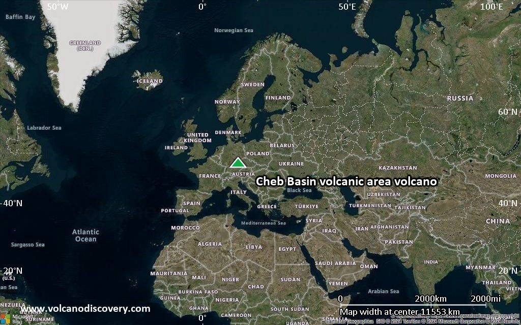
Satellite/aerial-type map of Cheb Basin volcanic area volcano (world scale)
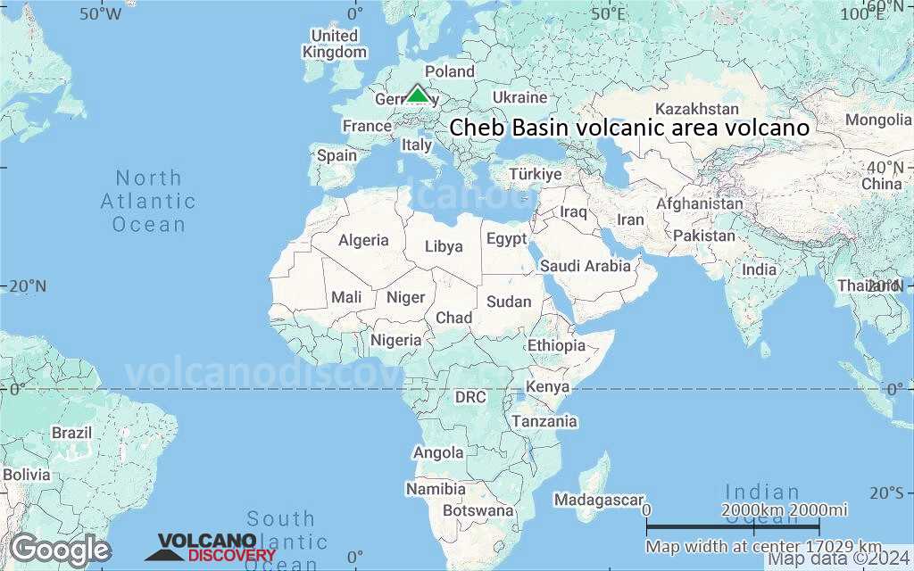
Terrain-type map of Cheb Basin volcanic area volcano (world scale)
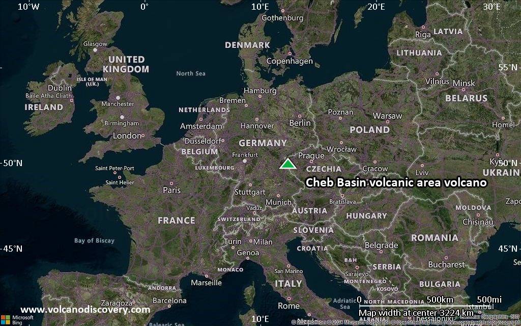
Satellite/aerial-type map of Cheb Basin volcanic area volcano (region scale large)
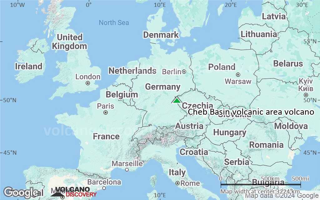
Terrain-type map of Cheb Basin volcanic area volcano (region scale large)
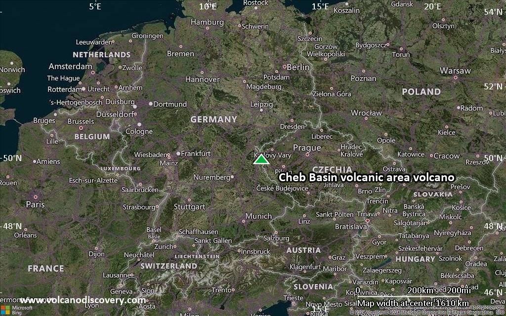
Satellite/aerial-type map of Cheb Basin volcanic area volcano (region scale medium)
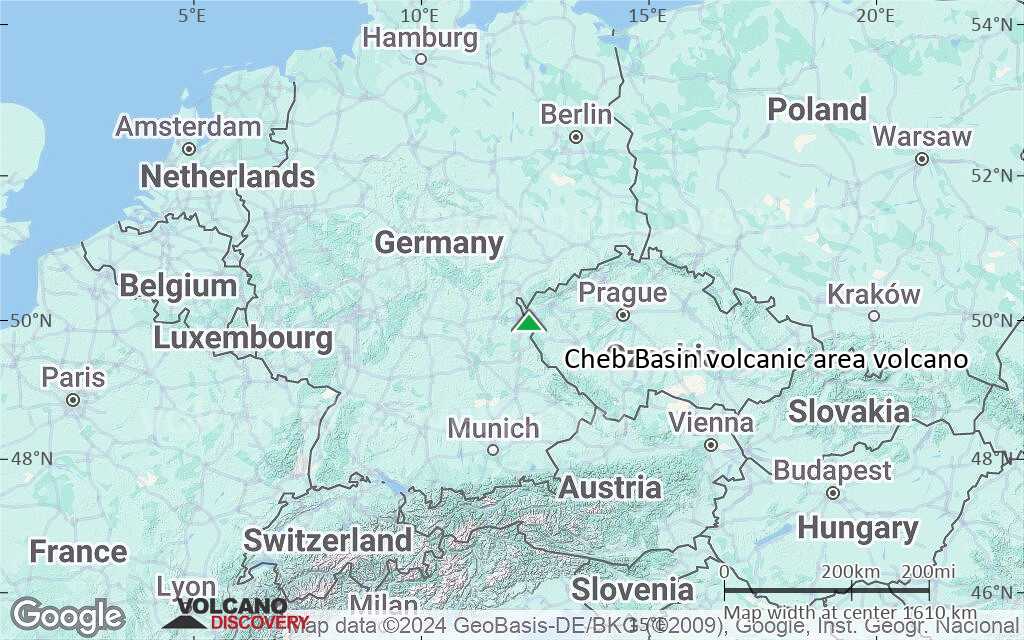
Terrain-type map of Cheb Basin volcanic area volcano (region scale medium)
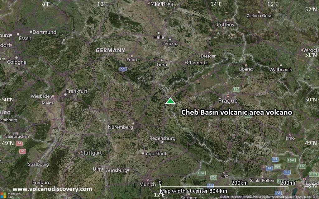
Satellite/aerial-type map of Cheb Basin volcanic area volcano (region scale small)
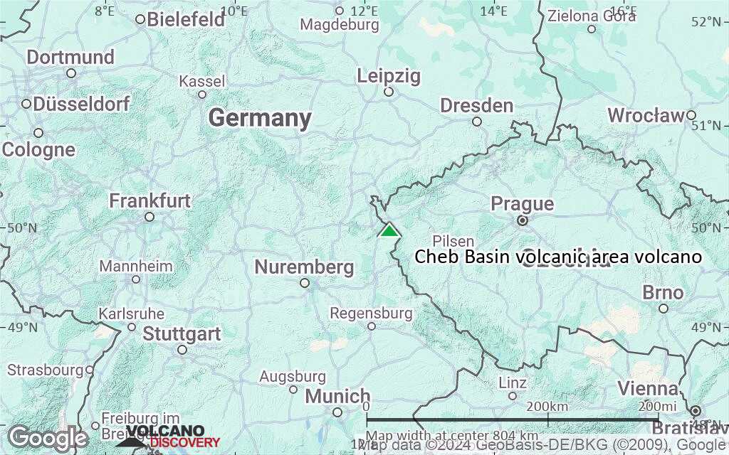
Terrain-type map of Cheb Basin volcanic area volcano (region scale small)
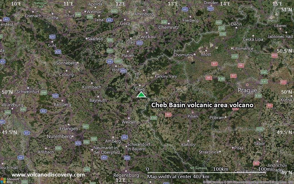
Satellite/aerial-type map of Cheb Basin volcanic area volcano (local scale large)
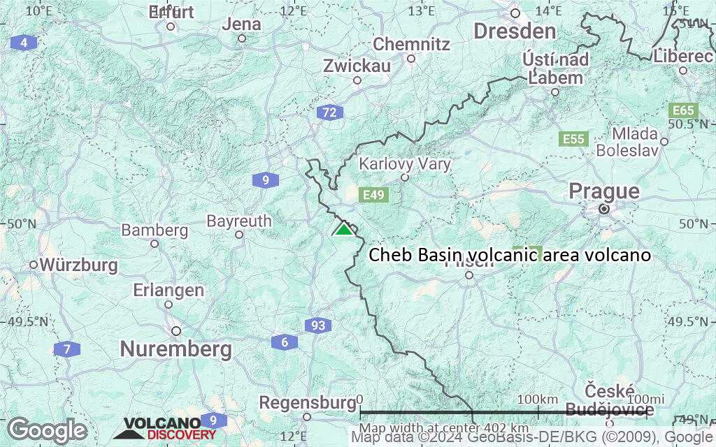
Terrain-type map of Cheb Basin volcanic area volcano (local scale large)
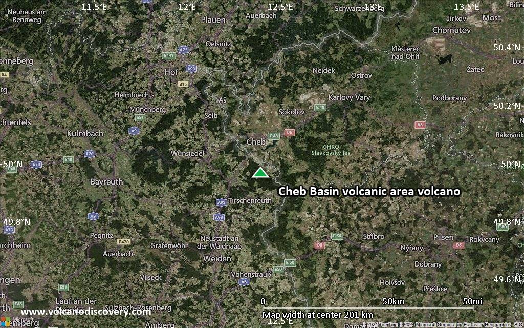
Satellite/aerial-type map of Cheb Basin volcanic area volcano (local scale medium)
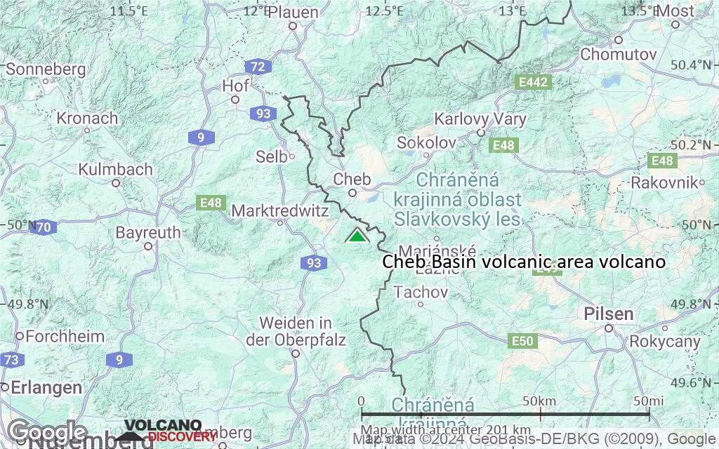
Terrain-type map of Cheb Basin volcanic area volcano (local scale medium)
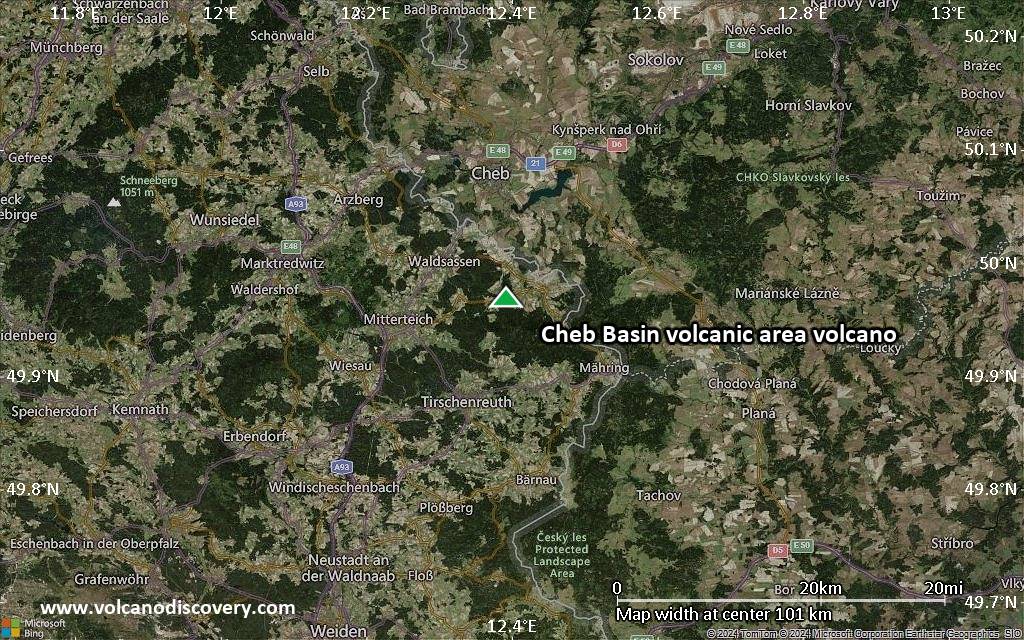
Satellite/aerial-type map of Cheb Basin volcanic area volcano (local scale small)
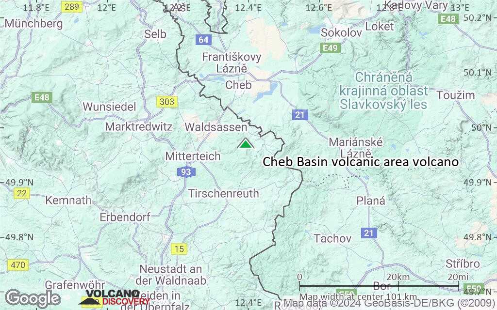
Terrain-type map of Cheb Basin volcanic area volcano (local scale small)
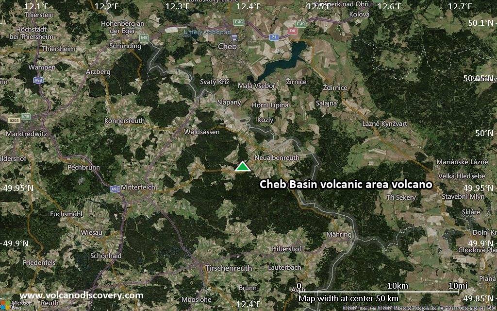
Satellite/aerial-type map of Cheb Basin volcanic area volcano (scale of 10s of km)
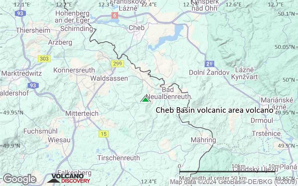
Terrain-type map of Cheb Basin volcanic area volcano (scale of 10s of km)
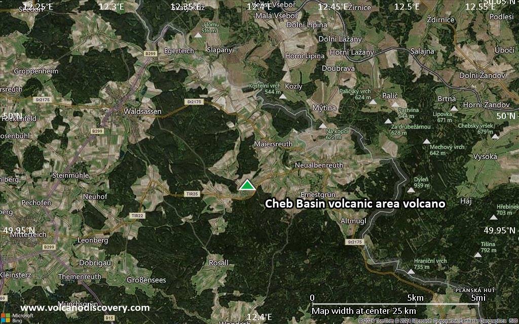
Satellite/aerial-type map of Cheb Basin volcanic area volcano (scale of 20-40 km)
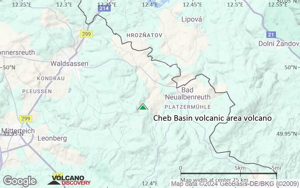
Terrain-type map of Cheb Basin volcanic area volcano (scale of 20-40 km)
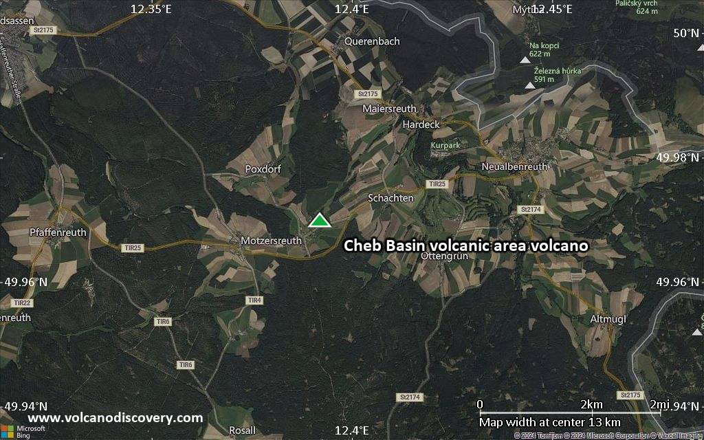
Satellite/aerial-type map of Cheb Basin volcanic area volcano (scale of approx. 10-20 km)
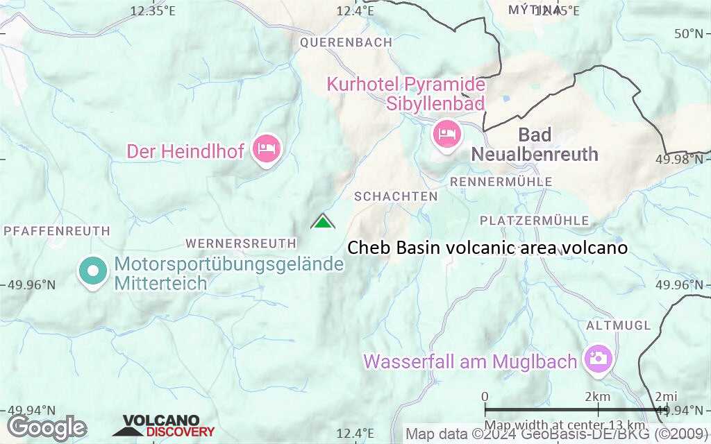
Terrain-type map of Cheb Basin volcanic area volcano (scale of approx. 10-20 km)
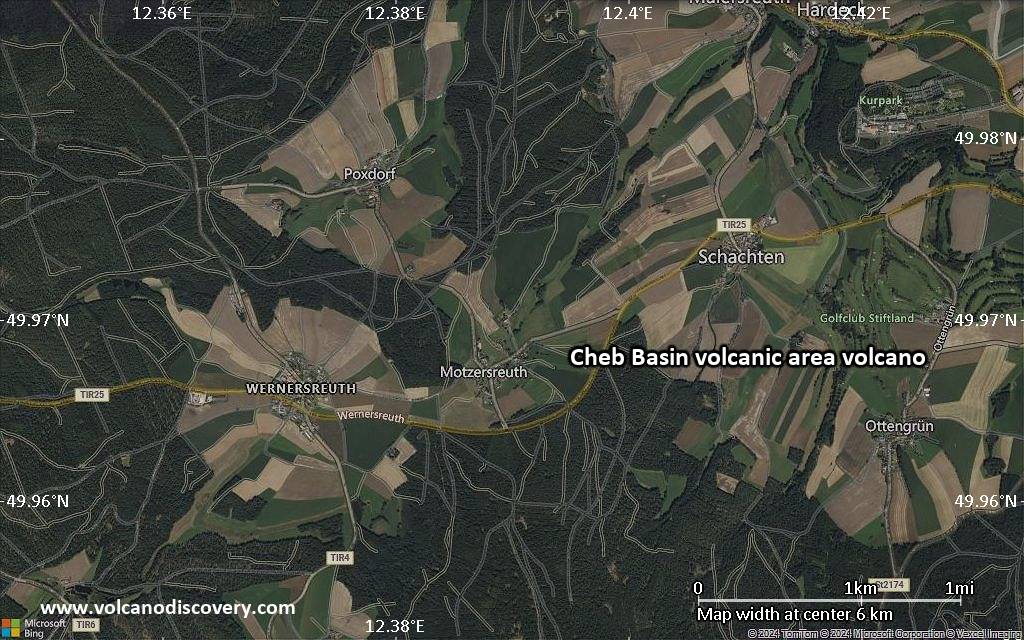
Satellite/aerial-type map of Cheb Basin volcanic area volcano (scale of 5-10 km)
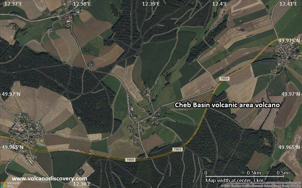
Satellite/aerial-type map of Cheb Basin volcanic area volcano (scale of few kilometers)


