


Clayton Valley Volcano
Updated: Aug 21, 2025 12:38 GMT -
Pyroclastic cone
Nevada, United States, 37.82°N / -117.62°W 
Summit height: 1490 m / 4888 ft
Current status: (probably) extinct (0 out of 5)
[smaller] [larger]
Clayton Valley volcano eruptions: None during the past 10,000 years
Less than few million years ago (Pleistocene)
Latest nearby earthquakes
| Date and Time | Mag / Depth | Distance / Location | |||
|---|---|---|---|---|---|
| Aug 17, 02:17 pm (Universal Time) | 2.5 2.5 km | 27 km (17 mi) to the S | Info | ||
Background
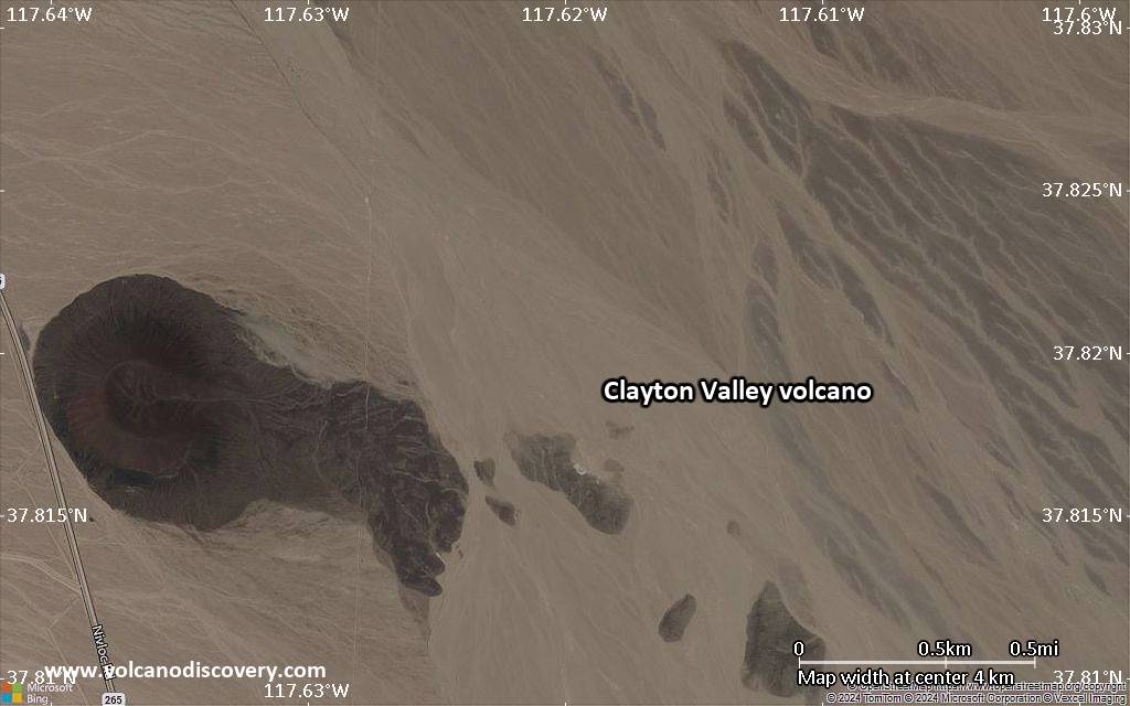
A solitary cinder cone in Clayton Valley NE of Silver Peak is Potassium-Argon dated about 0.39 million years ago. The breached cone has produced a 2-km-long lava flow partly buried by Quaternary alluvium (Dohrenwend, in Wood and Kienle 1990).---
Source: Smithsonian / GVP volcano information
Latest satellite images

Clayton Valley Volcano Maps
Below is a selection of maps showing the location and surroundings of the volcano at various resolutions based on aerial-imagery / terrain maps. Feel free to use them for non-commercial purposes on your blog or website as long as you credit them with a link back to this page (click to copy it).
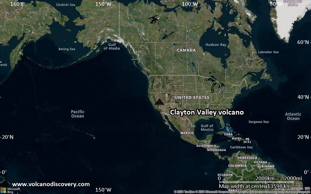
Satellite/aerial-type map of Clayton Valley volcano (world scale)
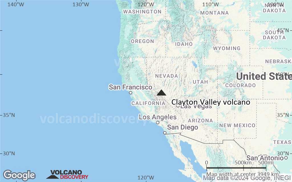
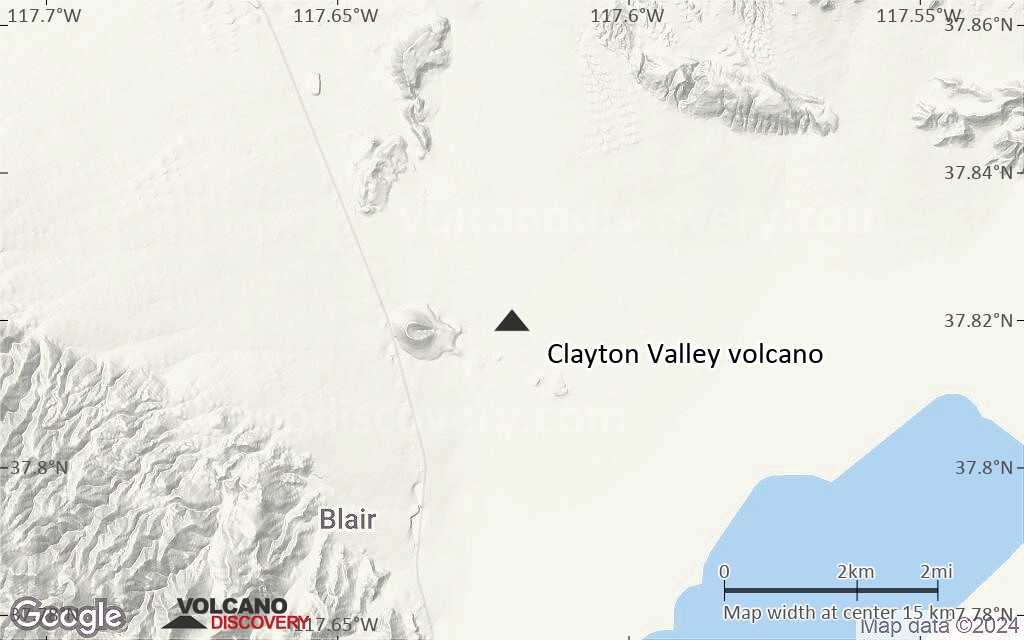
Terrain-type map of Clayton Valley volcano (world scale)
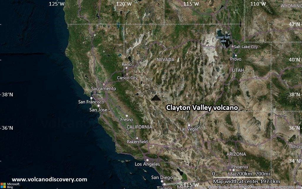
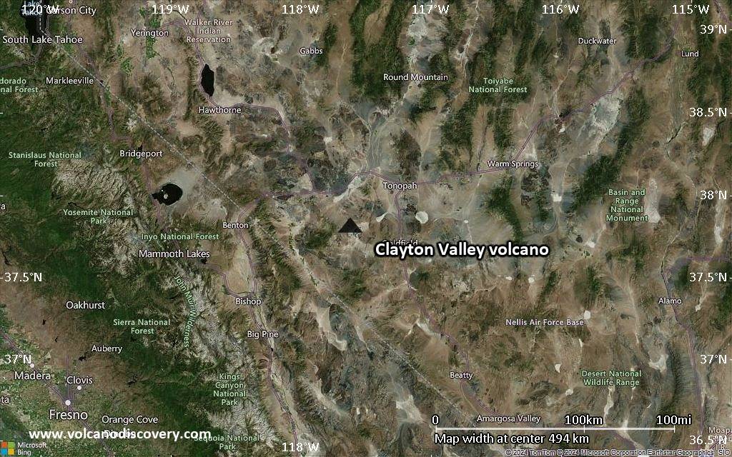
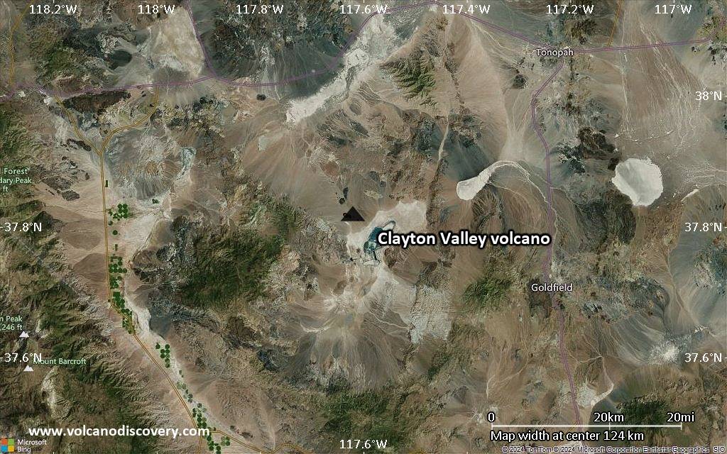
Satellite/aerial-type map of Clayton Valley volcano (region scale large)
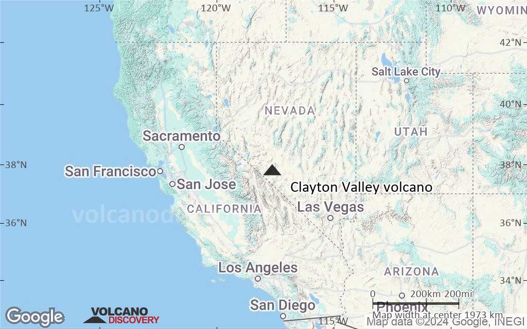
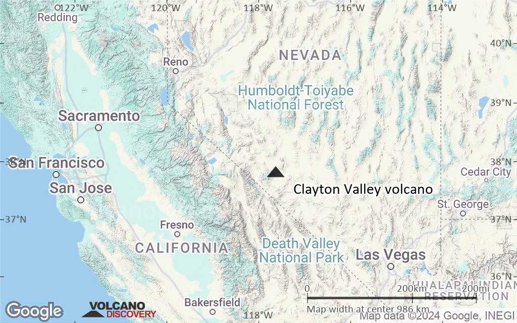
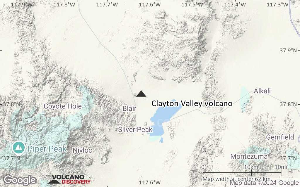
Terrain-type map of Clayton Valley volcano (region scale large)
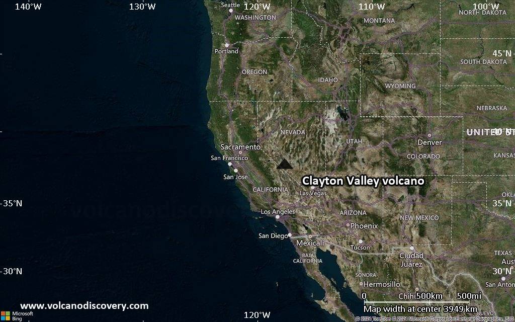
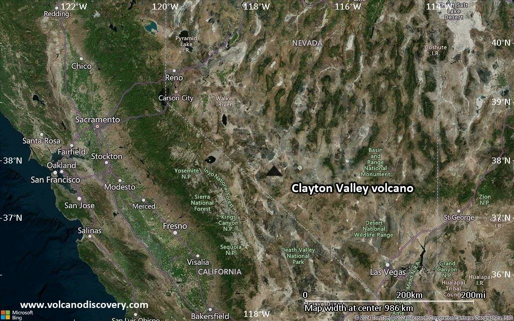
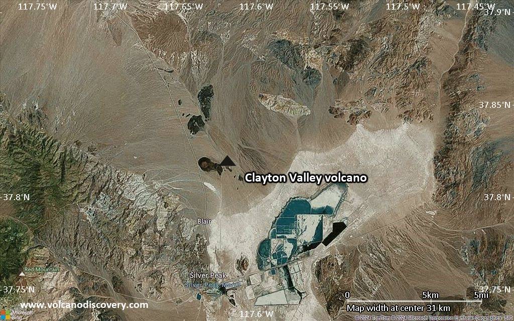
Satellite/aerial-type map of Clayton Valley volcano (region scale medium)
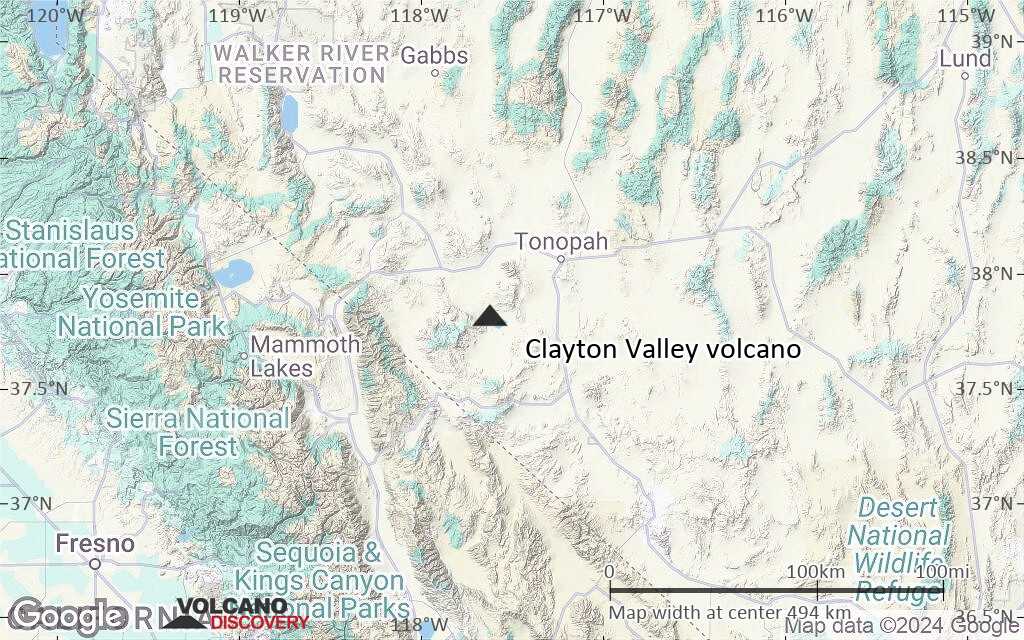
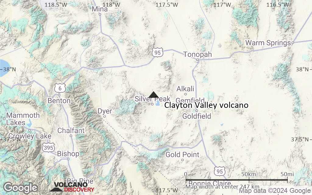
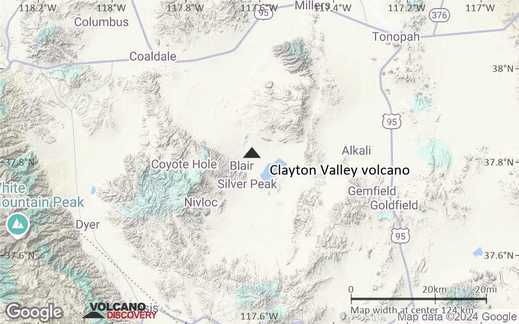
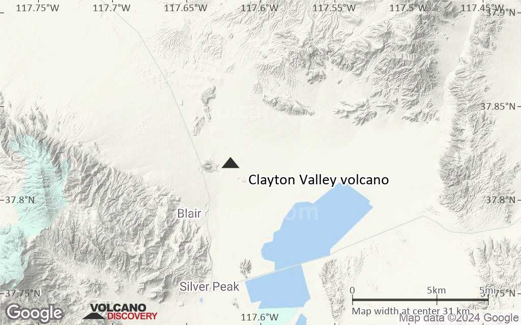
Terrain-type map of Clayton Valley volcano (region scale medium)
Satellite/aerial-type map of Clayton Valley volcano (region scale small)
Terrain-type map of Clayton Valley volcano (region scale small)
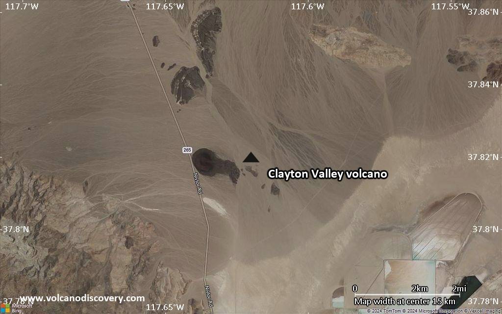
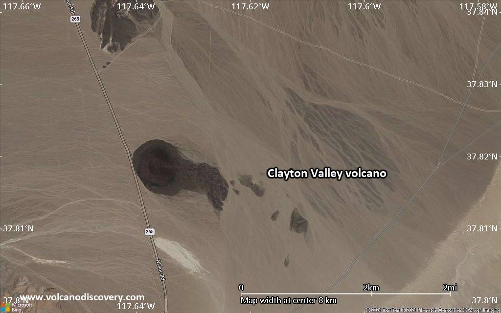
Satellite/aerial-type map of Clayton Valley volcano (local scale large)
Terrain-type map of Clayton Valley volcano (local scale large)
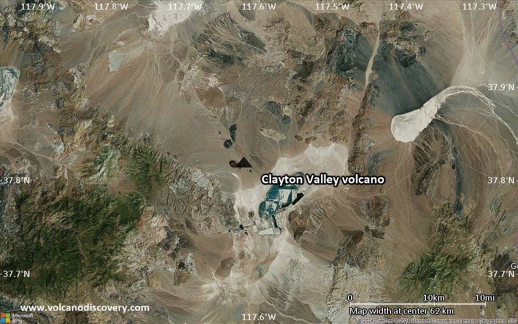
Satellite/aerial-type map of Clayton Valley volcano (local scale medium)
Terrain-type map of Clayton Valley volcano (local scale medium)
Satellite/aerial-type map of Clayton Valley volcano (local scale small)
Terrain-type map of Clayton Valley volcano (local scale small)
Satellite/aerial-type map of Clayton Valley volcano (scale of 10s of km)
Terrain-type map of Clayton Valley volcano (scale of 10s of km)
Satellite/aerial-type map of Clayton Valley volcano (scale of 20-40 km)
Terrain-type map of Clayton Valley volcano (scale of 20-40 km)
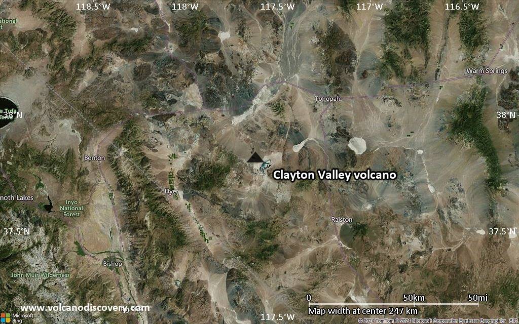
Satellite/aerial-type map of Clayton Valley volcano (scale of approx. 10-20 km)
Terrain-type map of Clayton Valley volcano (scale of approx. 10-20 km)
Satellite/aerial-type map of Clayton Valley volcano (scale of 5-10 km)
Satellite/aerial-type map of Clayton Valley volcano (scale of few kilometers)


