Kozushima Volcano
Updated: 28. Apr. 2024 10:41 GMT -
lava domes 572 m / 1,877 ft
Izu Islands (Japan), 34.22°N / 139.16°E
Aktueller Status: normal / ruhend (1 von 5)
Izu Islands (Japan), 34.22°N / 139.16°E
Aktueller Status: normal / ruhend (1 von 5)
Kozu-shima volcano (神津島, Kōzushima) forms a small 6 x 4 km island consisting of 18 lava domes. The last eruption was in the 9th century AD.
[smaller] [larger]
Ausbrüche des Kozushima: 838 AD, 832 (?), 100 BC ± 1000 years, 750 BC ± 1000 years, ca. 8050 BC
Letzte Erdbeben in der Nähe
| Uhrzeit | Mag. / Tiefe | Entfernung / Ort | |||
| 27. Apr. 03:25 (GMT +9) | 2.6 86 km | 27 km nördlich | Info | ||
Beschreibung
A cluster of rhyolitic lava domes and associated pyroclastic deposits form the small 4 x 6 km island of Kozu-shima in the northern Izu Islands. Kozu-shima lies along the Zenisu Ridge, one of several en echelon ridges oriented NE-SW, transverse to the trend of the northern Izu arc.The youngest and largest of the 18 lava domes, 574-m-high Tenjo-yama, occupies the central portion of the island. Most of the older domes, some of which are Holocene in age, flank Tenjo-yama to the north, although late-Pleistocene domes are also found at the southern end of the island. Only 2 possible historical eruptions, from the 9th century, are known. A lava flow may have reached the sea during an eruption in 832 AD.
Tenjo-san lava dome was formed during a major eruption in 838 AD that also produced pyroclastic flows and surges. Earthquake swarms took place at Kozu-shima during the 20th century.
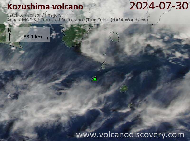
Latest satellite images