


Kozushima Volcano
Updated: Jun 14, 2025 12:53 GMT -
lava domes
Izu Islands (Japan), 34.22°N / 139.16°E 
Summit height: 572 m / 1,877 ft
Current status: normal or dormant (1 out of 5)
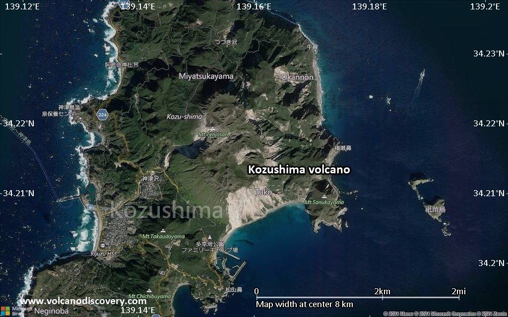
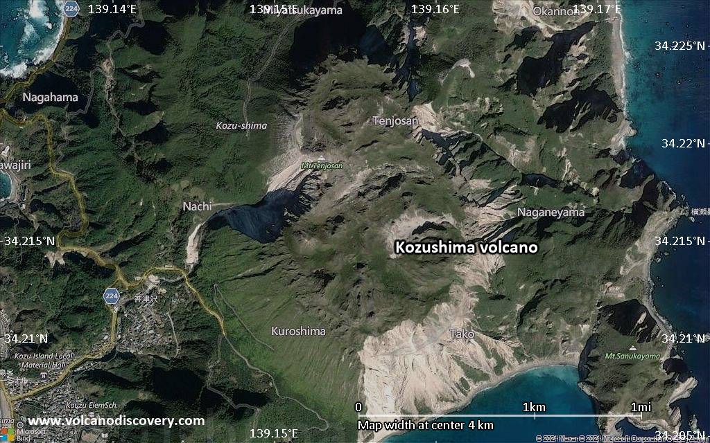
Kozu-shima volcano (神津島, Kōzushima) forms a small 6 x 4 km island consisting of 18 lava domes. The last eruption was in the 9th century AD.
[smaller] [larger]
Kozushima volcano eruptions: 838 AD, 832 (?), 100 BC ± 1000 years, 750 BC ± 1000 years, ca. 8050 BC
Latest nearby earthquakes
| Date and Time | Mag / Depth | Distance / Location | |||
|---|---|---|---|---|---|
| Jun 9, 02:10 pm (GMT +9) | 1.5 0 km | 12 km (7.3 mi) to the E | Info | ||
| Sunday, June 8, 2025 GMT (3 quakes) | |||||
| Jun 9, 05:33 am (GMT +9) | 1.3 15 km | 8.9 km (5.5 mi) to the E | Info | ||
| Jun 9, 02:01 am (GMT +9) | 1.5 16 km | 28 km (17 mi) to the N | Info | ||
| Jun 8, 09:09 pm (GMT +9) | 1.4 4.7 km | 10.8 km (6.7 mi) to the E | Info | ||
| Saturday, June 7, 2025 GMT (3 quakes) | |||||
| Jun 7, 10:43 pm (GMT +9) | 1.5 6.8 km | 11 km (6.9 mi) to the E | Info | ||
| Jun 7, 06:13 pm (GMT +9) | 1.6 10.1 km | 9.6 km (6 mi) to the E | Info | ||
| Jun 7, 04:42 pm (GMT +9) | 1.8 7.4 km | 24 km (15 mi) to the S | Info | ||
| Thursday, June 5, 2025 GMT (1 quake) | |||||
| Jun 5, 09:11 pm (GMT +9) | 1.6 13 km | 22 km (14 mi) to the SE | Info | ||
| Sunday, June 1, 2025 GMT (1 quake) | |||||
| Jun 1, 09:51 pm (GMT +9) | 1.8 10.1 km | 8.5 km (5.3 mi) to the E | Info | ||
Background
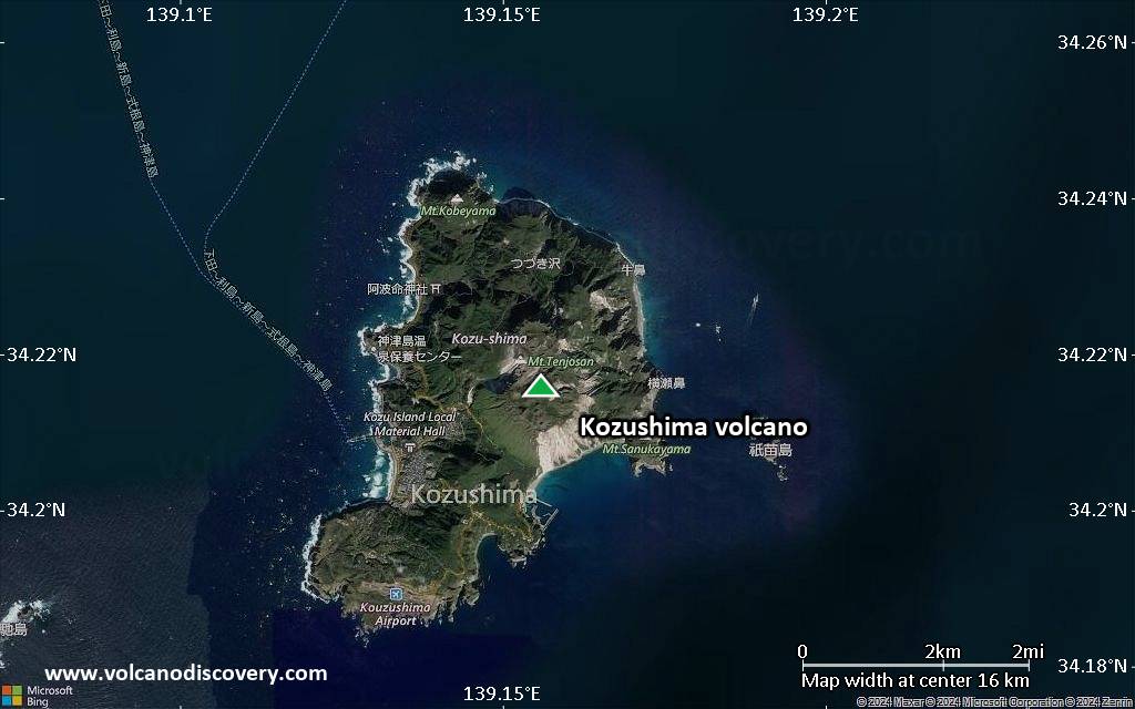
A cluster of rhyolitic lava domes and associated pyroclastic deposits form the small 4 x 6 km island of Kozu-shima in the northern Izu Islands. Kozu-shima lies along the Zenisu Ridge, one of several en echelon ridges oriented NE-SW, transverse to the trend of the northern Izu arc.The youngest and largest of the 18 lava domes, 574-m-high Tenjo-yama, occupies the central portion of the island. Most of the older domes, some of which are Holocene in age, flank Tenjo-yama to the north, although late-Pleistocene domes are also found at the southern end of the island. Only 2 possible historical eruptions, from the 9th century, are known. A lava flow may have reached the sea during an eruption in 832 AD.
Tenjo-san lava dome was formed during a major eruption in 838 AD that also produced pyroclastic flows and surges. Earthquake swarms took place at Kozu-shima during the 20th century.
Significant volcanic eruptions: Kozushima volcano
In the past 10,000 years, Kozushima has had only one confirmed historic eruption in 838 AD, but at least 3 eruptions can be inferred from geological evidence.
There is one uncertain or discredited eruption in 832 AD from Kozushima volcano.
There is one uncertain or discredited eruption in 832 AD from Kozushima volcano.
The table below lists all known eruptions (date in bold face) of Kozushima volcano in historic times and during the past 10,000 years. Updates on the most recent volcanic activity of Kozushima can be found on the news page of Kozushima volcano.
| Date | Note | VEI | Deaths | Damage | |
|---|---|---|---|---|---|
| Tenjo-san Historical obs./docs. | 4 | ||||
?? | Uncertain Eruption | ? | |||
| NW tip of island (Kobe-yama) | ? | ||||
| N tip of island (Anano-yama, Hanatabe) | ? | ||||
| Jogo-yama | ? | ||||
Remark:
Our list of volcanic eruptions closely follows the database of eruptions of the Smithsonian's Global Volcanism Project (GVP), the internationally most recognized data source for volcanic eruptions, but also includes significant eruptive episodes or related volcano events. "Volcanic eruptions" are usually to be understood as sequences of individual eruptive episodes that can follow each other, or even overlap (if several vents are involved), and can last many years, decades or even longer. For example, the current activity of Stromboli volcano is understood as a single eruption that has been ongoing since 1934.
Sources: NOAA National Centers for Environmental Information (NCEI), Global Significant Volcanic Eruptions Database. doi:10.7289/V5TD9V7K | Global Volcanism Project / Smithsonian Institution
Kozushima Volcano FAQ
+When was the last eruption of Kozushima volcano?
The last confirmed eruption of Kozushima occurred in 838 AD.
+How often does Kozushima volcano erupt?
Since 838 AD, Kozushima volcano has had at least 1 historically documented eruptions.
+When was the largest eruption of Kozushima volcano?
The largest eruption of Kozushima volcano in historic times occurred in 838 AD. It ranks as a sub-plinian eruption with a magnitude 4 on the VEI (Volcanic Explosivity Index) scale.
Latest satellite images
Kozushima Volcano Maps
Below is a selection of maps showing the location and surroundings of the volcano at various resolutions based on aerial-imagery / terrain maps. Feel free to use them for non-commercial purposes on your blog or website as long as you credit them with a link back to this page (click to copy it).
Satellite/aerial-type map of Kozushima volcano (world scale)
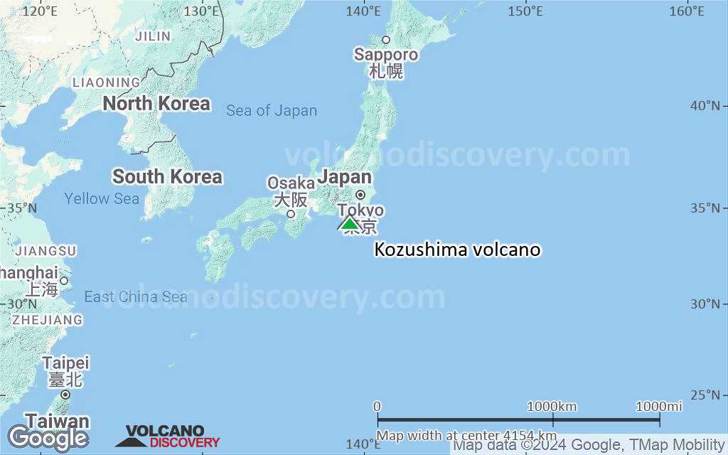
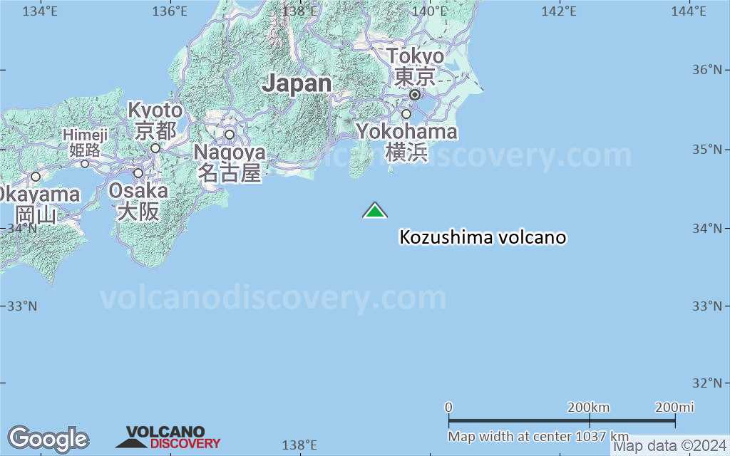
Terrain-type map of Kozushima volcano (world scale)

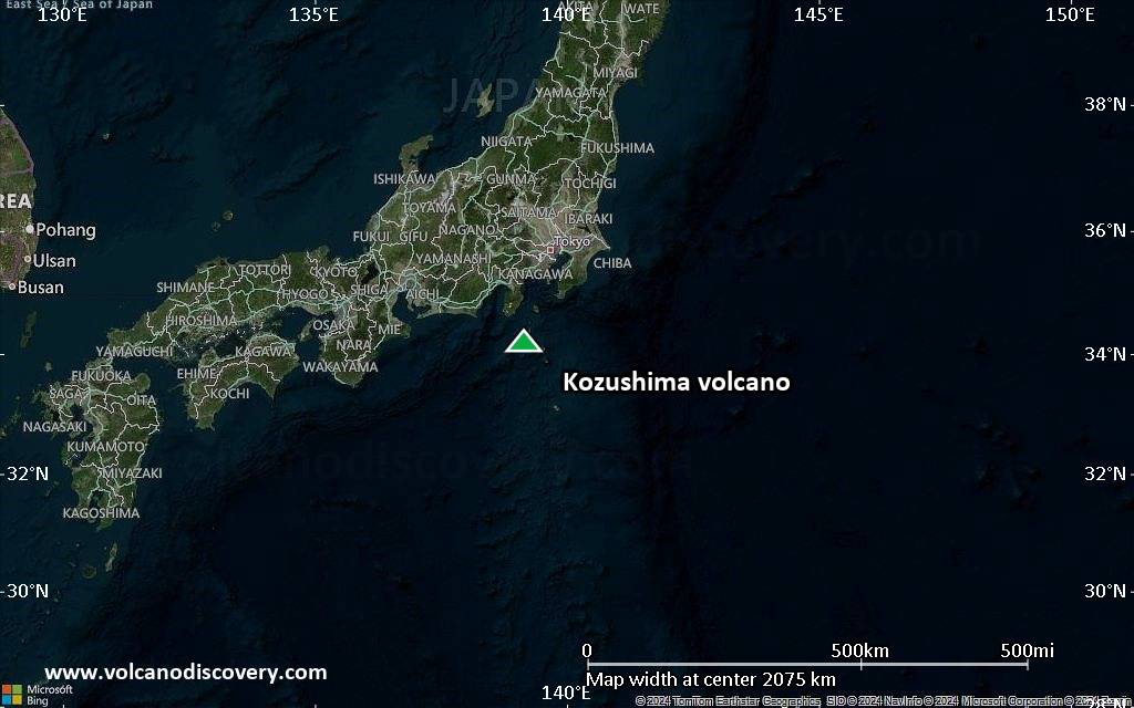
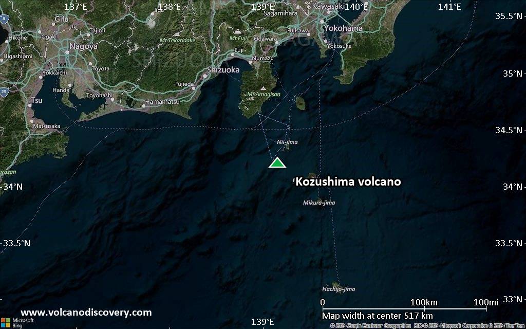
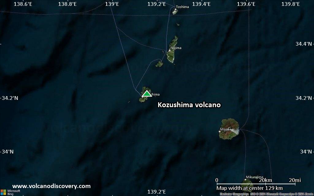
Satellite/aerial-type map of Kozushima volcano (region scale large)
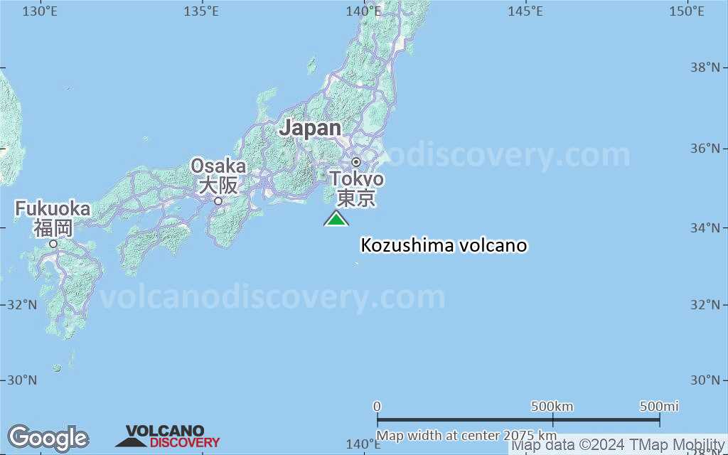
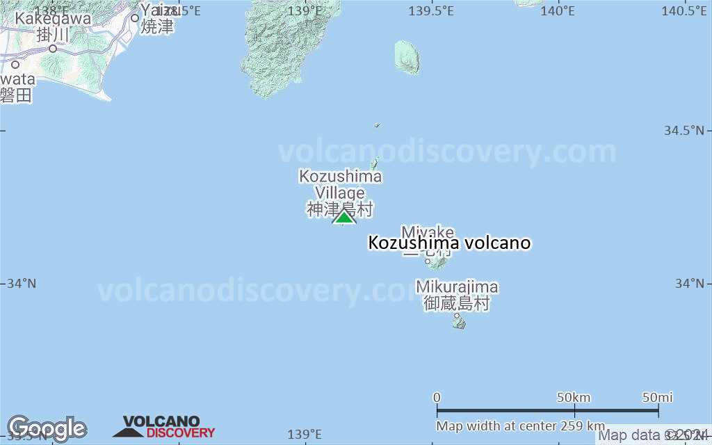
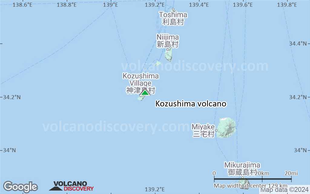
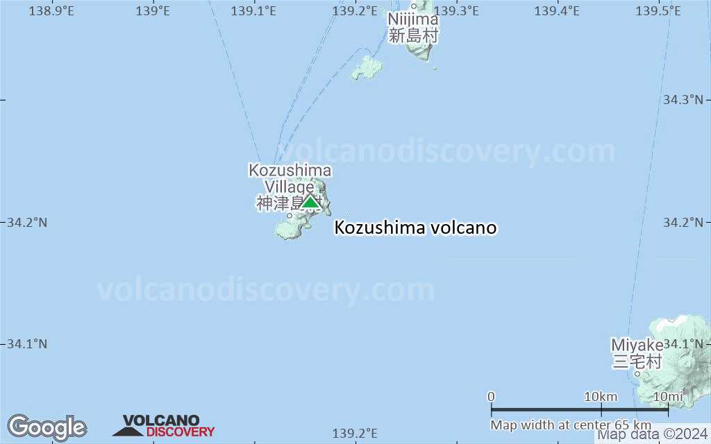
Terrain-type map of Kozushima volcano (region scale large)
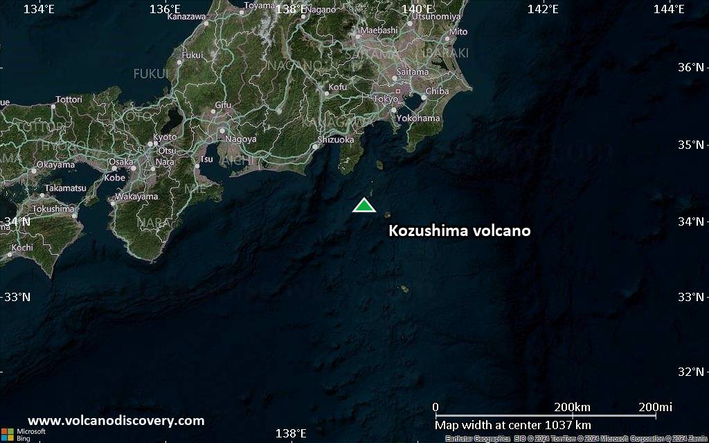
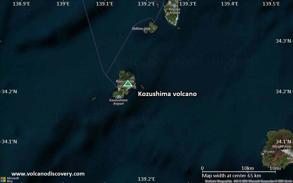
Satellite/aerial-type map of Kozushima volcano (region scale medium)
Terrain-type map of Kozushima volcano (region scale medium)
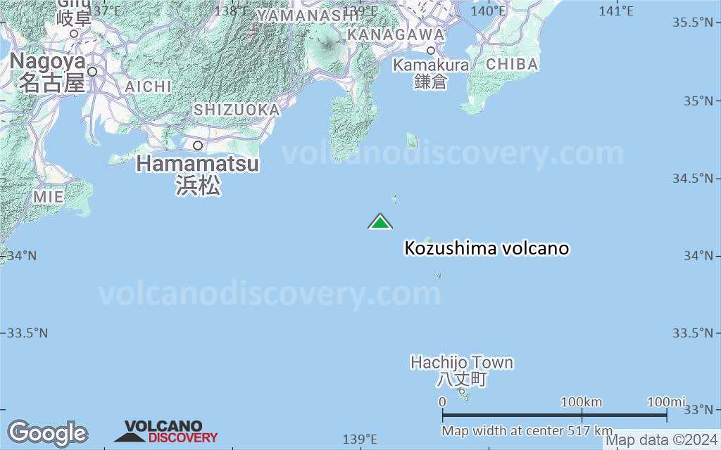
Satellite/aerial-type map of Kozushima volcano (region scale small)
Terrain-type map of Kozushima volcano (region scale small)
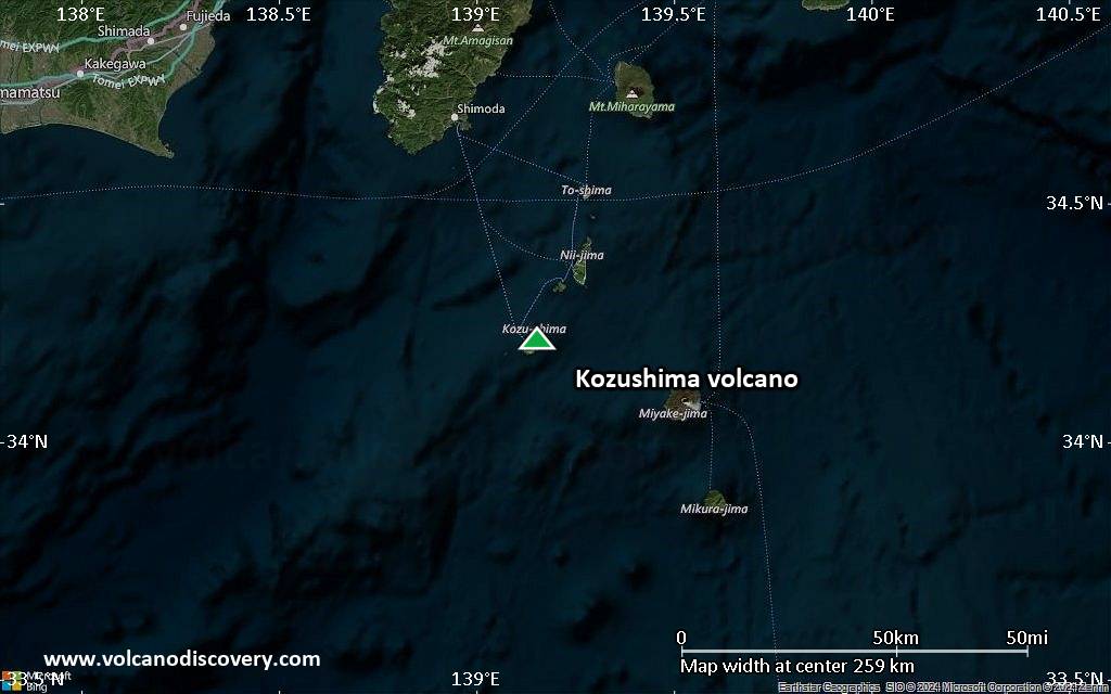
Satellite/aerial-type map of Kozushima volcano (local scale large)
Terrain-type map of Kozushima volcano (local scale large)
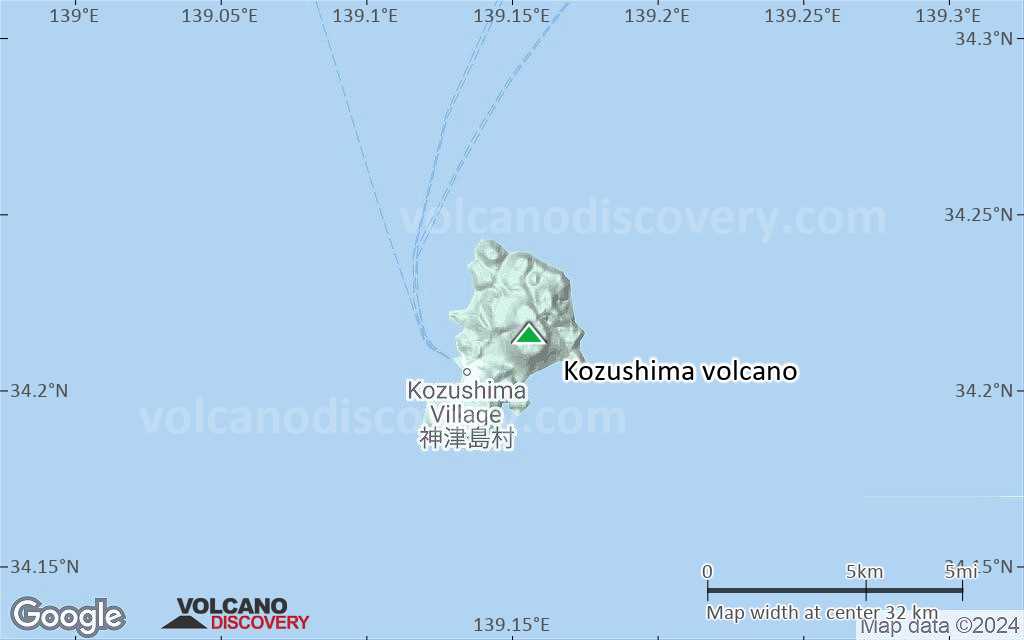
Satellite/aerial-type map of Kozushima volcano (local scale medium)
Terrain-type map of Kozushima volcano (local scale medium)
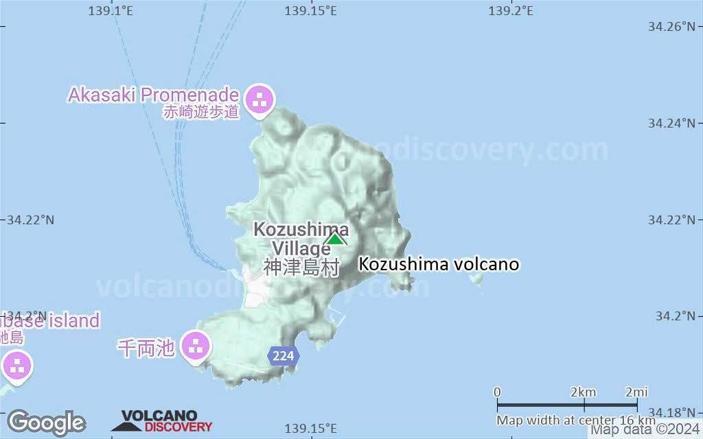
Satellite/aerial-type map of Kozushima volcano (local scale small)
Terrain-type map of Kozushima volcano (local scale small)
Satellite/aerial-type map of Kozushima volcano (scale of 10s of km)
Terrain-type map of Kozushima volcano (scale of 10s of km)

Satellite/aerial-type map of Kozushima volcano (scale of 20-40 km)
Terrain-type map of Kozushima volcano (scale of 20-40 km)
Satellite/aerial-type map of Kozushima volcano (scale of approx. 10-20 km)
Terrain-type map of Kozushima volcano (scale of approx. 10-20 km)
Satellite/aerial-type map of Kozushima volcano (scale of 5-10 km)
Satellite/aerial-type map of Kozushima volcano (scale of few kilometers)


