Kuttara Volcano
Updated: 30. Apr. 2024 01:42 GMT -
stratovolcanoes 581 m / 1,906 ft
Hokkaido (Japan), 42.49°N / 141.16°E
Aktueller Status: normal / ruhend (1 von 5)
Hokkaido (Japan), 42.49°N / 141.16°E
Aktueller Status: normal / ruhend (1 von 5)
Kuttara volcano is a group of small stratovolcanoes, lava domes, pyroclastic cones and a caldera near the Pacific coast SE of Toya caldera and SW of Shikotsu caldera in southern Hokkaido, Japan.
The area is known for some spectacular volcanic scenery:
Lake Kuttarafills the 3-km-wide Kuttara caldera.
Jigokudani or "Hell Valley", is a large 450 m diameter crater that formed about 200,000 years ago. It is surrounded by cliffs of red scoria and contains 11 hot springs, vigorous hot steam vents and fumaroles, giving it its name.
Oyunuma is a sulfurous pond in Jigokudani valley. The Noboribetsu Spa is located on the western flank of Kuttara near the thermal area with fumaroles and geysers at Jigoku-dani.
[smaller] [larger]
Ausbrüche des Kuttara: 1820 ± 100 years, 200 AD ± 75 years, 8050 BC (?)
Letzte Erdbeben in der Nähe
| Uhrzeit | Mag. / Tiefe | Entfernung / Ort | |||
| 24. Apr. 00:04 (GMT +9) | 2.7 231 km | 28 km nordwestlich | Info | ||
Beschreibung
from Smithsonian / GVP volcano information:The Kuttara group was constructed during 5 major eruptive stages, the first of which occurred more than 60,000 years ago. A major dacitic pumice eruption at the end of the 4th stage about 40,000 years ago resulted in the formation of the 3-km-diameter Kuttara caldera. The caldera cut a basaltic-to-andesitic stratovolcano complex, which late in its activity produced two major andesitic lava flows on its north side at Kita-yama. Explosions, probably in early Holocene time, formed two large craters on the west flank of the caldera, and a dacitic lava dome was emplaced about 10,000 years ago. Late-stage phreatic explosion products from Jigoku-dani, a 300-400 m wide crater south of the lava dome, overlie the 1663 tephra from Usu volcano. Jigoku-dani and Noboribetsu Spa are the sites of intense thermal activity, including fumaroles, hot springs, and geysers.
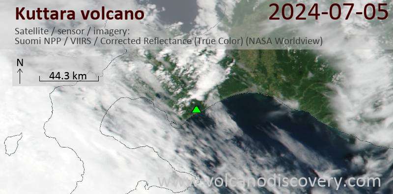
Latest satellite images