


Mallahle Vulkan
Updated: 7. Nov. 2025 03:39 GMT -
stratovolcano
Eritrea, 13.27°N / 41.65°E 
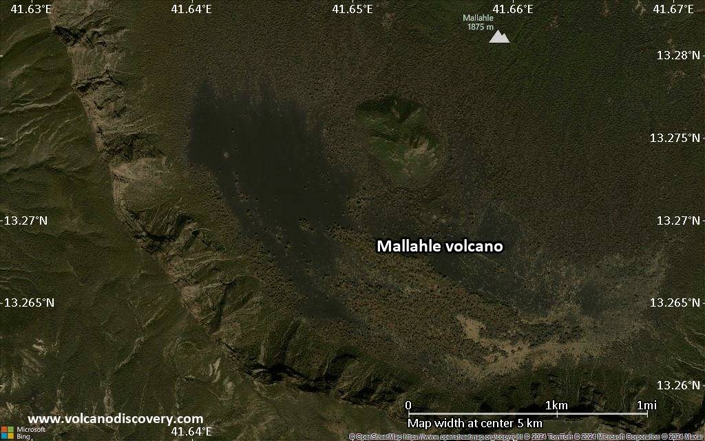
Summit height: 1875 m / 6,152 ft
Aktueller Status: normal / ruhend (1 von 5)
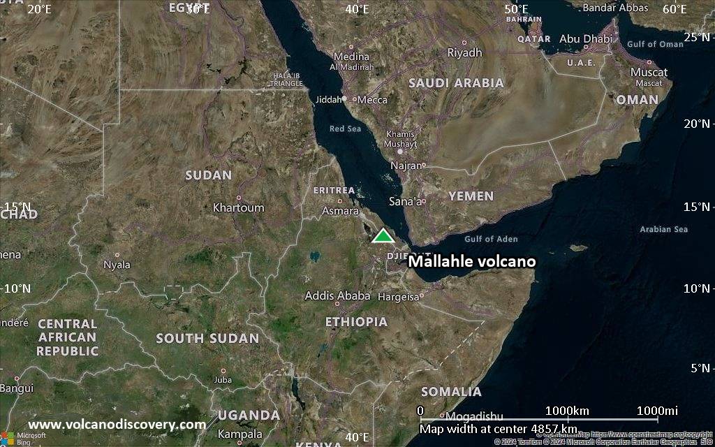
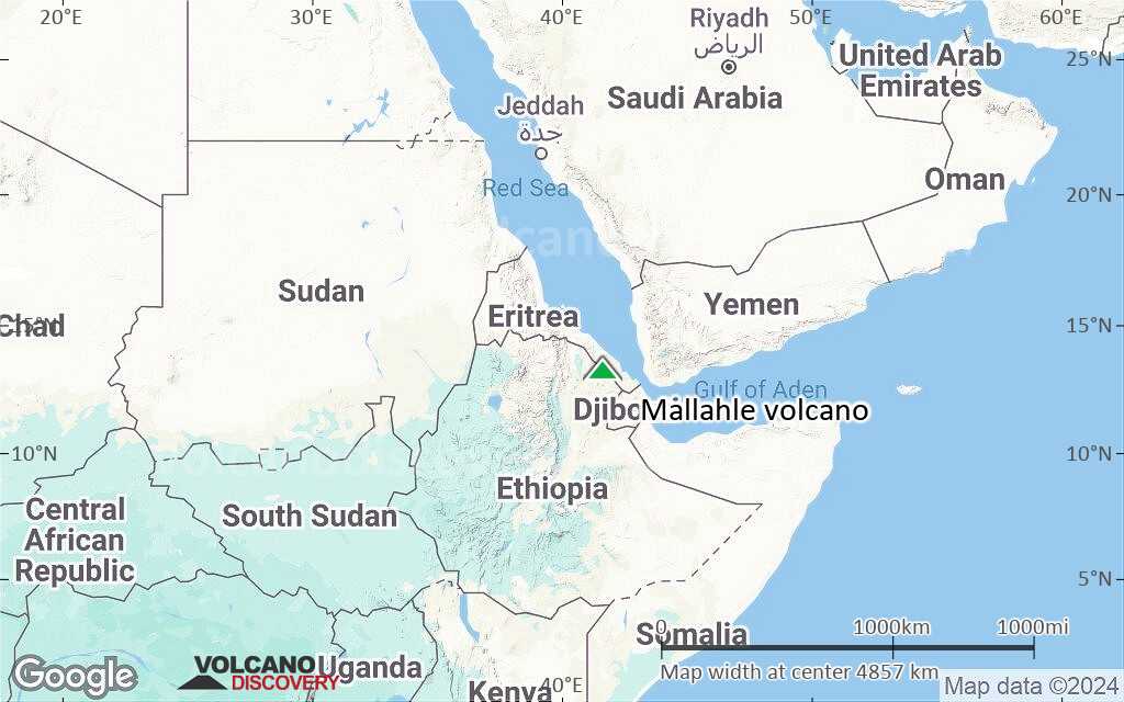
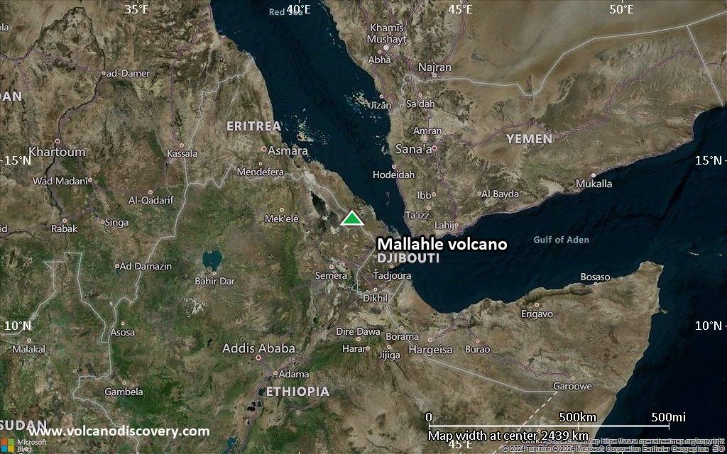
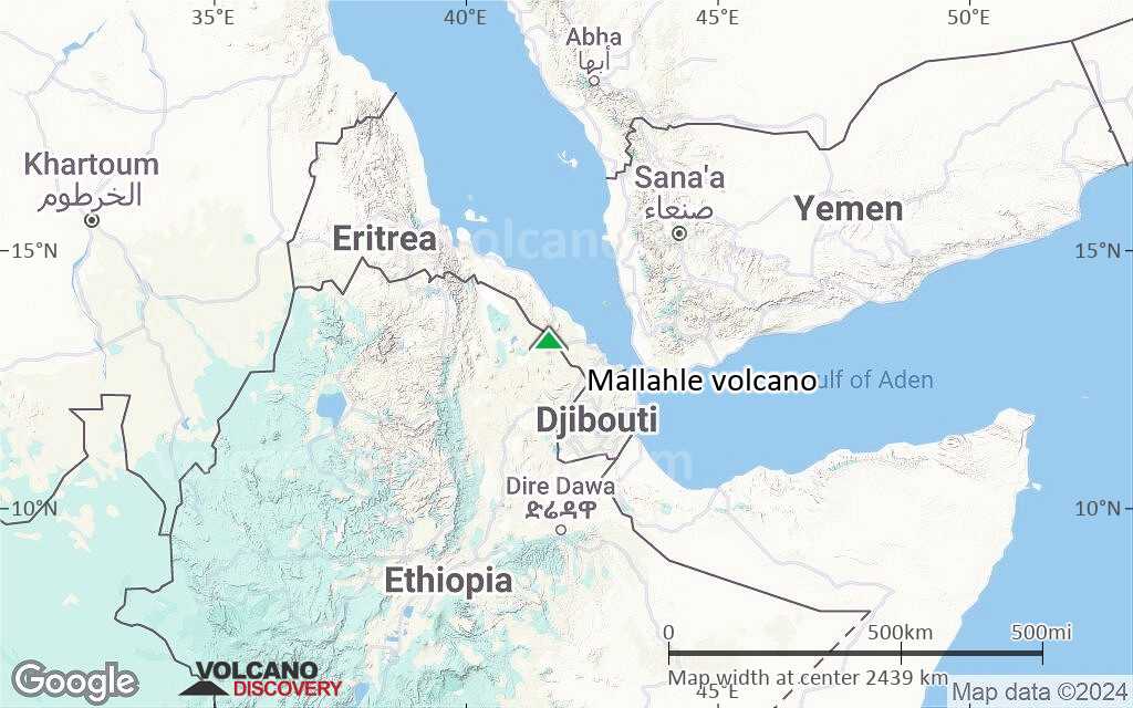
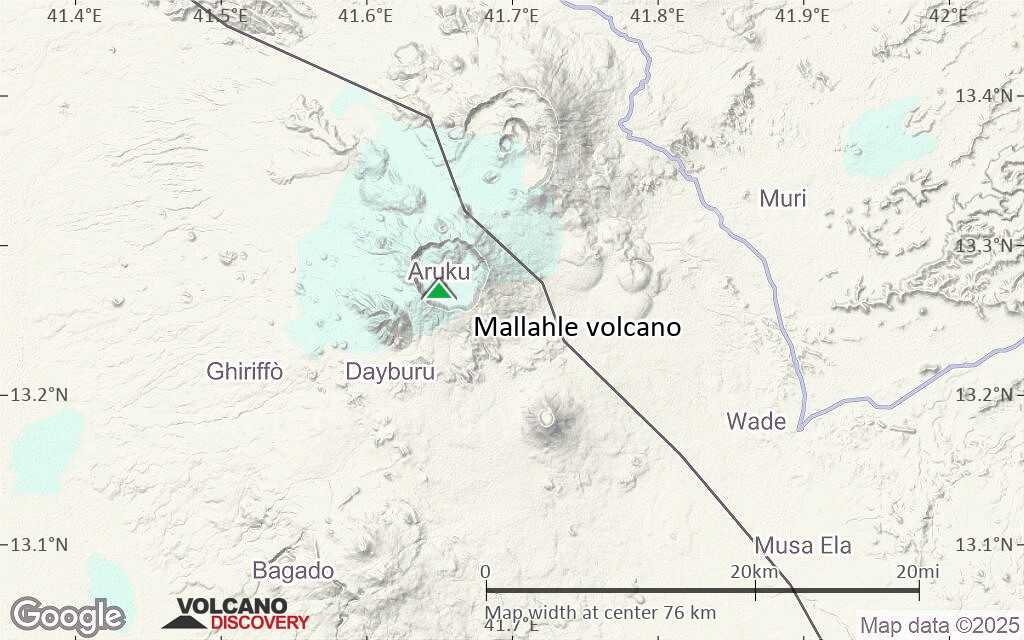
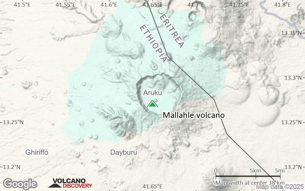
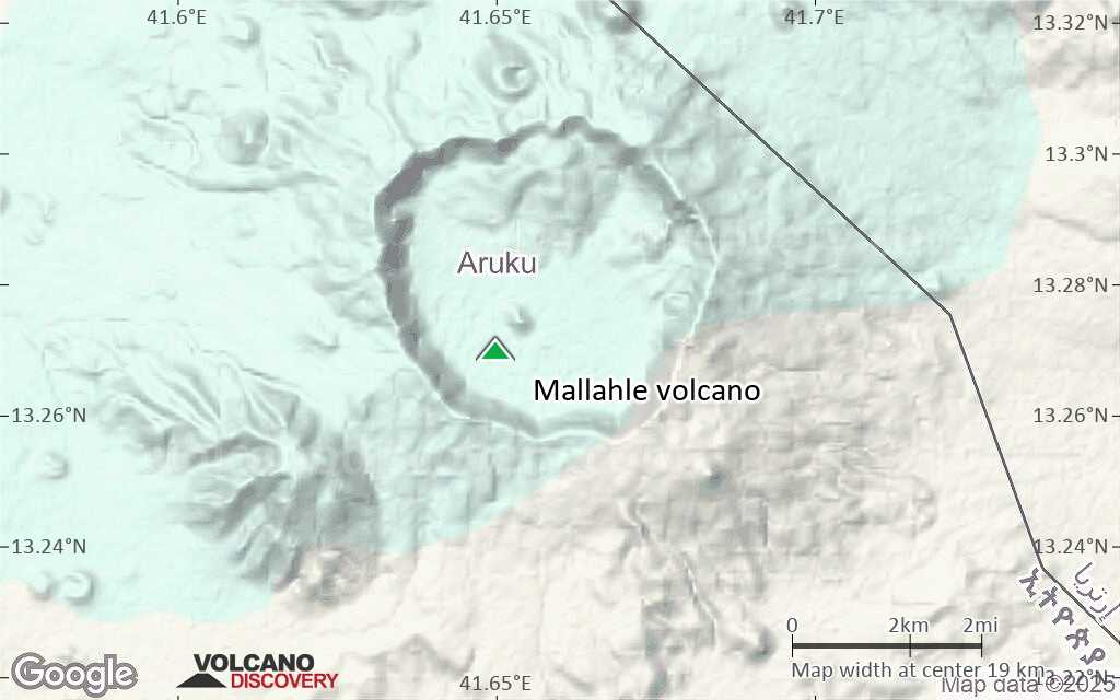
Mallahle is a stratovolcano in Eritrea located on the Dankil horst east of the Danakil depression.
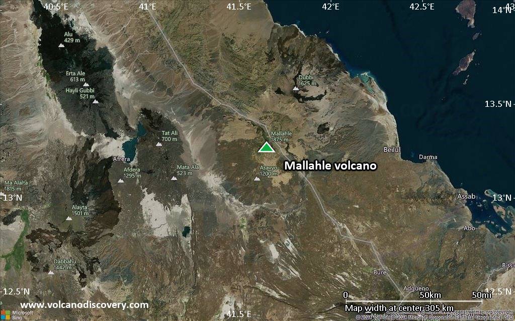
It belongs to the Bidu volcanic complex, which comprises 3 NE-SW aligned stratovolcanoes (Dubbi, Mallahle and Nabro), as well as the Bara Ale and Sork'Ale volcanoes.
[smaller] [larger]
Ausbrüche des Mallahle: unknown
Letzte Erdbeben in der Nähe
| Datum und Uhrzeit | Mag / Tiefe | Distanz / Ort | |||
|---|---|---|---|---|---|
Beschreibung
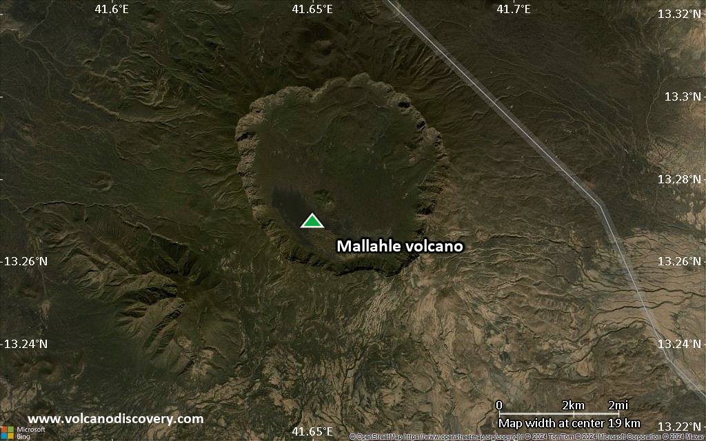
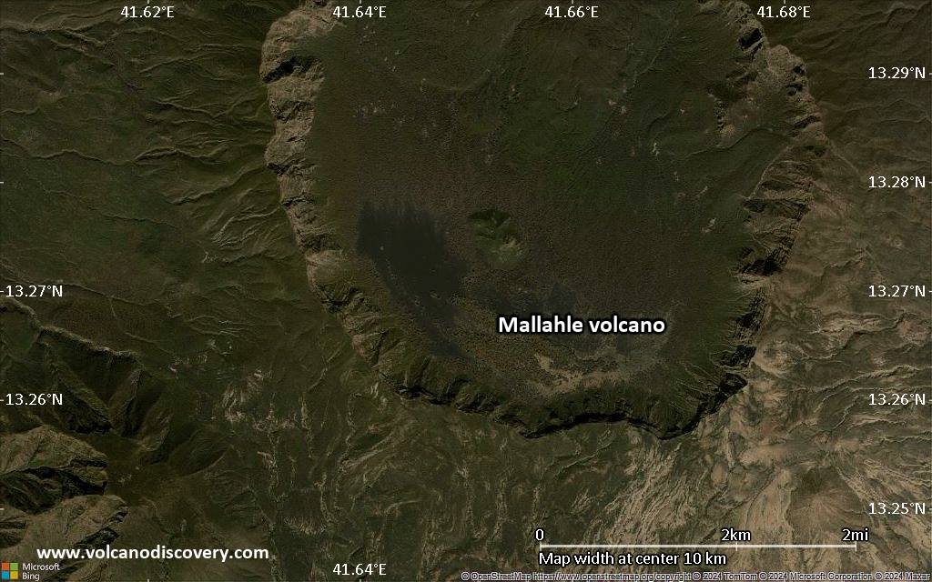
from Smithsonian / GVP Mallahle volcano information:The complex Mallahle stratovolcano is truncated by a steep-walled 6-km-wide caldera. Mallahle is formed of rhyolitic lava flows and pyroclastics. Basaltic lava flows blanket the slopes of the volcano.
Recent obsidian flows are found on the NW flank of Mallahle and older obsidian flows were erupted on the northern caldera floor. Flank spatter and scoria cones are most numerous on the western side of the volcano.
Extensive ignimbrite deposits associated with the collapse of Mallahle and Nabro volcanoes blanket the countryside.
Neueste Satellitenbilder
Mallahle Vulkan Karten
Below is a selection of maps showing the location and surroundings of the volcano at various resolutions based on aerial-imagery / terrain maps. Feel free to use them for non-commercial purposes on your blog or website as long as you credit them with a link back to this page (click to copy it).
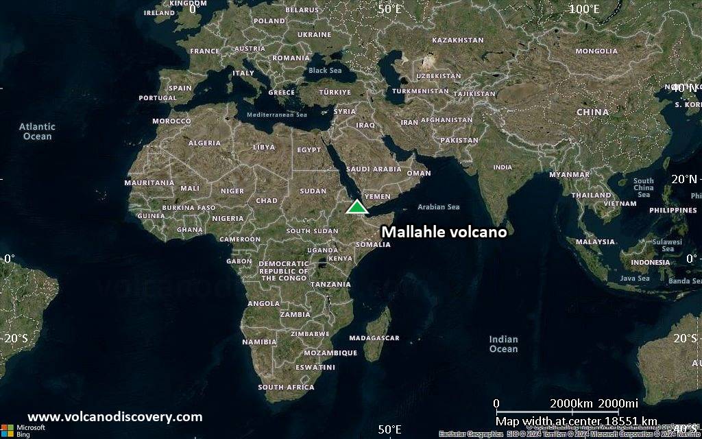
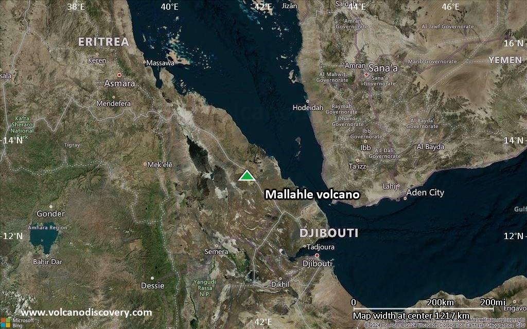
Satellite/aerial-type map of Mallahle volcano (world scale)
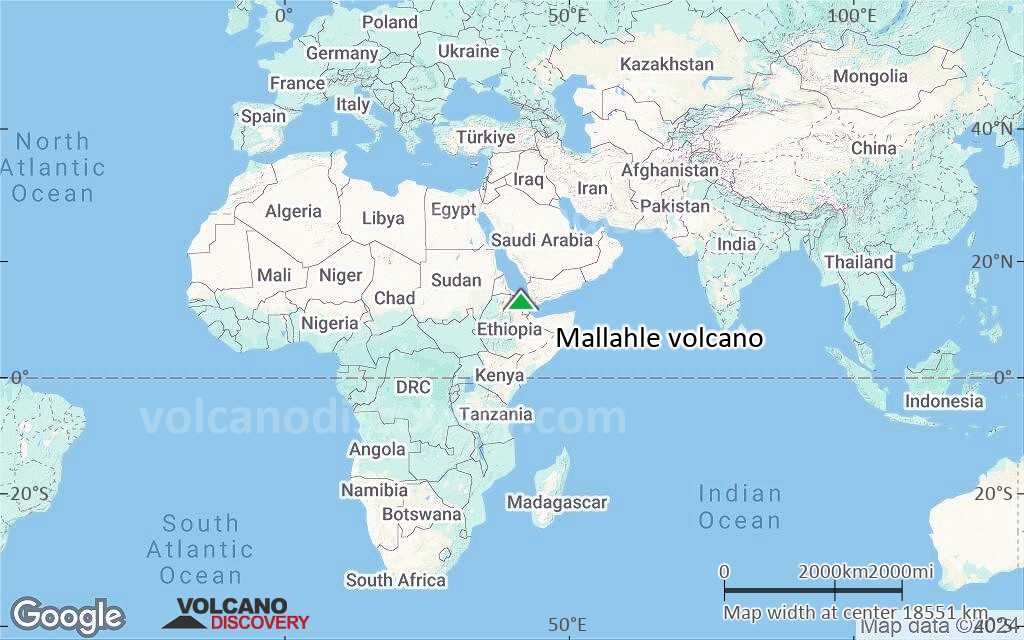
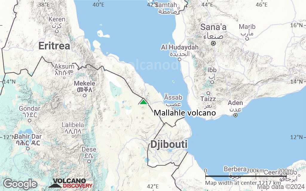
Terrain-type map of Mallahle volcano (world scale)
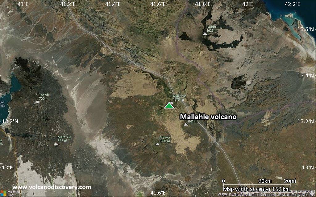
Satellite/aerial-type map of Mallahle volcano (region scale large)
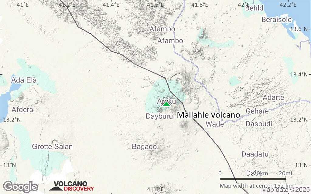
Terrain-type map of Mallahle volcano (region scale large)
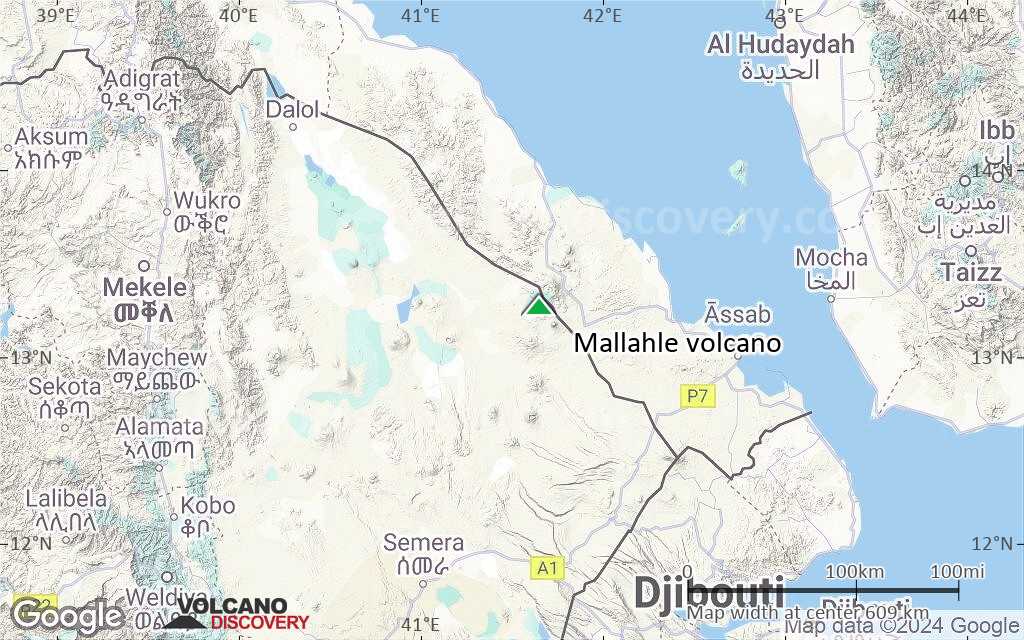
Satellite/aerial-type map of Mallahle volcano (region scale medium)
Terrain-type map of Mallahle volcano (region scale medium)
Satellite/aerial-type map of Mallahle volcano (region scale small)
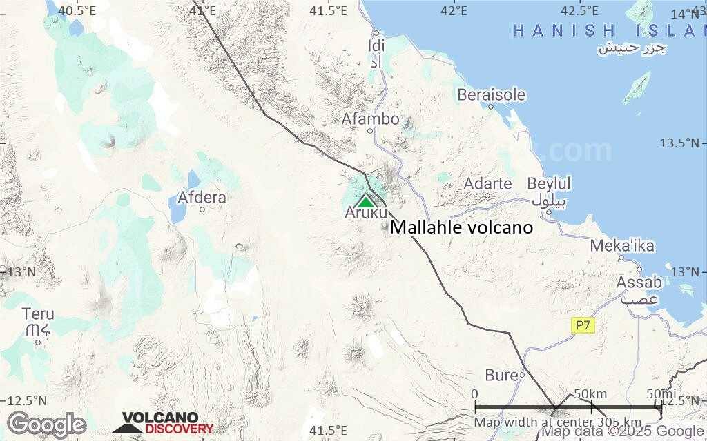
Terrain-type map of Mallahle volcano (region scale small)

Satellite/aerial-type map of Mallahle volcano (local scale large)
Terrain-type map of Mallahle volcano (local scale large)
Satellite/aerial-type map of Mallahle volcano (local scale medium)
Terrain-type map of Mallahle volcano (local scale medium)
Satellite/aerial-type map of Mallahle volcano (local scale small)
Terrain-type map of Mallahle volcano (local scale small)
Satellite/aerial-type map of Mallahle volcano (scale of 10s of km)
Terrain-type map of Mallahle volcano (scale of 10s of km)
Satellite/aerial-type map of Mallahle volcano (scale of 20-40 km)
Terrain-type map of Mallahle volcano (scale of 20-40 km)
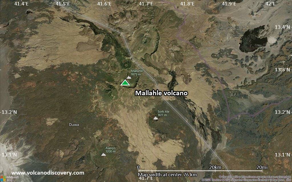
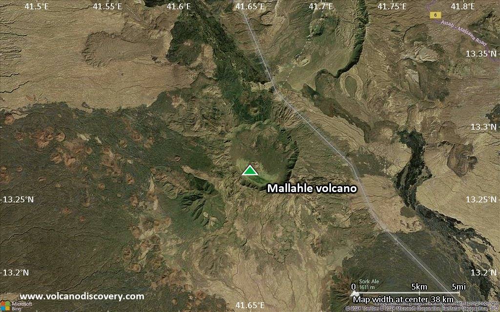
Satellite/aerial-type map of Mallahle volcano (scale of approx. 10-20 km)
Terrain-type map of Mallahle volcano (scale of approx. 10-20 km)
Satellite/aerial-type map of Mallahle volcano (scale of 5-10 km)
Satellite/aerial-type map of Mallahle volcano (scale of few kilometers)


