Papandayan Volcano
Updated: 29. Apr. 2024 05:28 GMT -
stratovolcano 2665 m / 8,743 ft.
Westjava (Indonesien), -7.32°S / 107.73°E
Aktueller Status: normal / ruhend (1 von 5)
Westjava (Indonesien), -7.32°S / 107.73°E
Aktueller Status: normal / ruhend (1 von 5)
Last update: 9 Mär 2023 (Smithsonian / USGS Weekly Volcanic Activity Report)
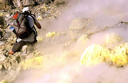
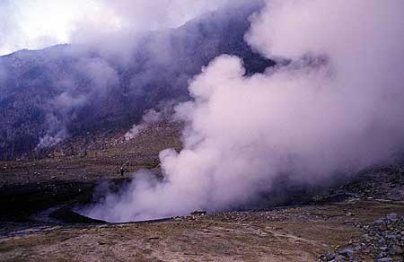
Papandayan is a complex stratovolcano with four large summit craters, the youngest of which was breached to the NE by collapse during a brief eruption in 1772 and contains active fumarole fields.
[smaller] [larger]
Explosive. At present strong fumarolic activity.
Ausbrüche des Papandayan: 1772 (moderate eruption followed by a devastating debris avalanche), 1923, 1942, 2002
Letzte Erdbeben in der Nähe
| Uhrzeit | Mag. / Tiefe | Entfernung / Ort | |||
Beschreibung
The broad 1.1-km-wide, flat-floored Alun-Alun crater truncates the summit of Papandayan, and Gunung Puntang to the north gives the volcano a twin-peaked appearance. Several episodes of collapse have given the volcano an irregular profile and produced debris avalanches that have impacted lowland areas beyond the volcano. A sulfur-encrusted fumarole field occupies historically active Kawah Mas ("Golden Crater").After its first historical eruption in 1772, in which collapse of the NE flank produced a catastrophic debris avalanche that destroyed 40 villages and killed nearly 3000 persons, only small phreatic eruptions had occurred prior to an explosive eruption that began in November 2002.
(Source: GVP)
Papandayan Volcano Photos
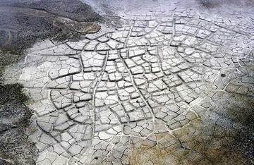
Trockene Schlammpfütze (Photo: Tom Pfeiffer)
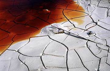
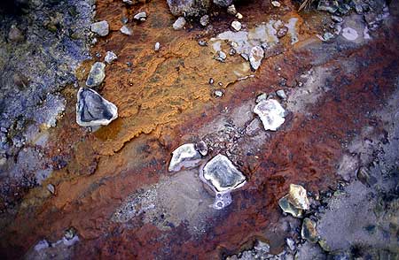
Ein austrocknender Teich mit hässlich aussehendem rotem Wasser im Krater des Vulkans Papandayan. (Photo: Tom Pfeiffer)
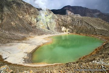
Grüner Säuresee im Papandayan-Krater (West-Java) (Photo: Dietmar)
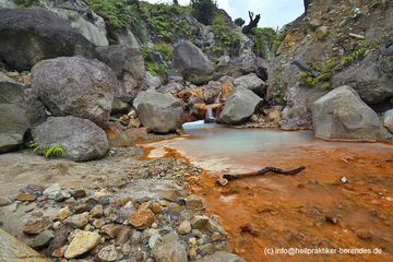
Rotes Wasser eines kleinen Baches aus dem Krater von Papandayan (Photo: Dietmar)
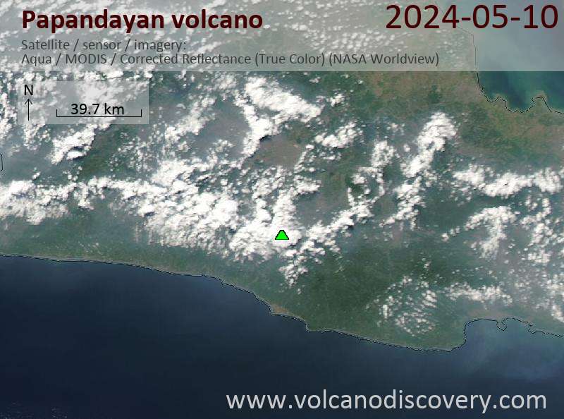
Latest satellite images
Papandayan Volcano Tours
Java (Indonesien)
Von Krakatau bis Bali
16-tägige Fotoreise zu den Vulkanen Javas
16 Tage - Leicht bis mittel
Preis 3180 €
Preis 3180 €
Individuelle Termine möglich
2.-17. Aug 2024
2.-17. Jun 2024
8.-23. Jul 2024
Java (Indonesien)
Vulkane auf Java
17-tägige Vulkantrekkingtour auf Java
17 Tage - Mittel bis Anspruchsvoll
Preis 3120 €
Preis 3120 €
3.-19. Jun 2024
9.-25. Jul 2024
3.-19. Aug 2024