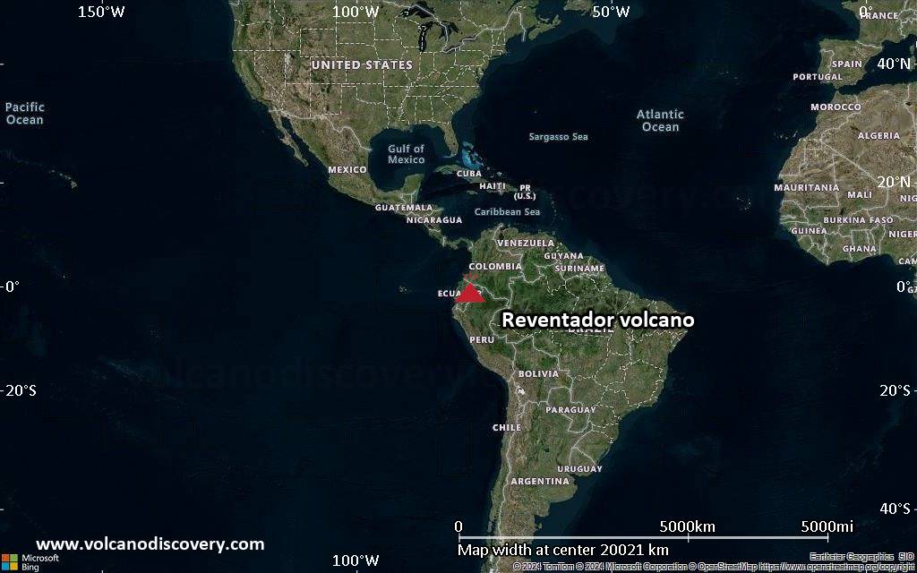
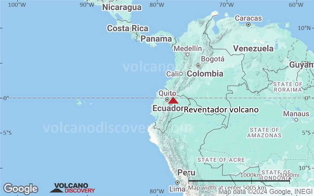
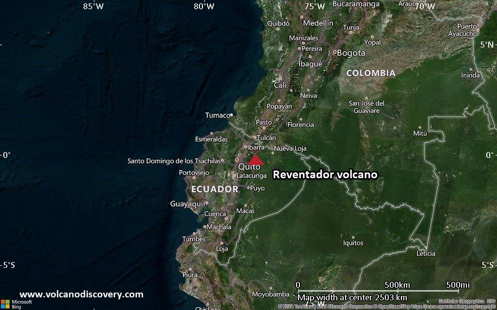
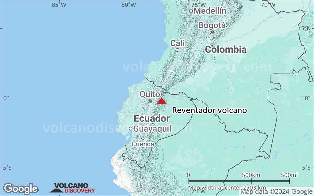
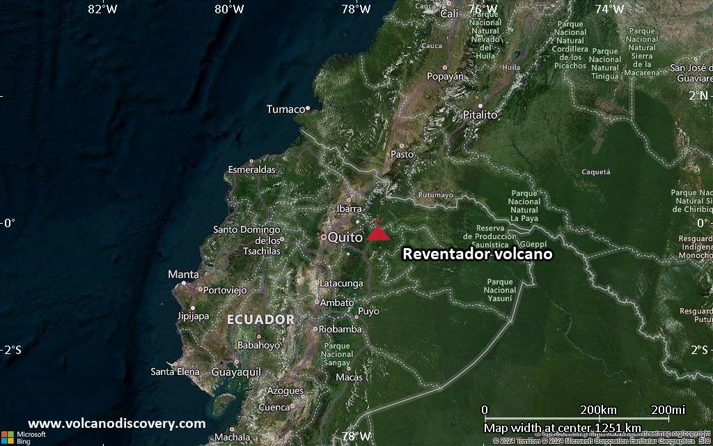
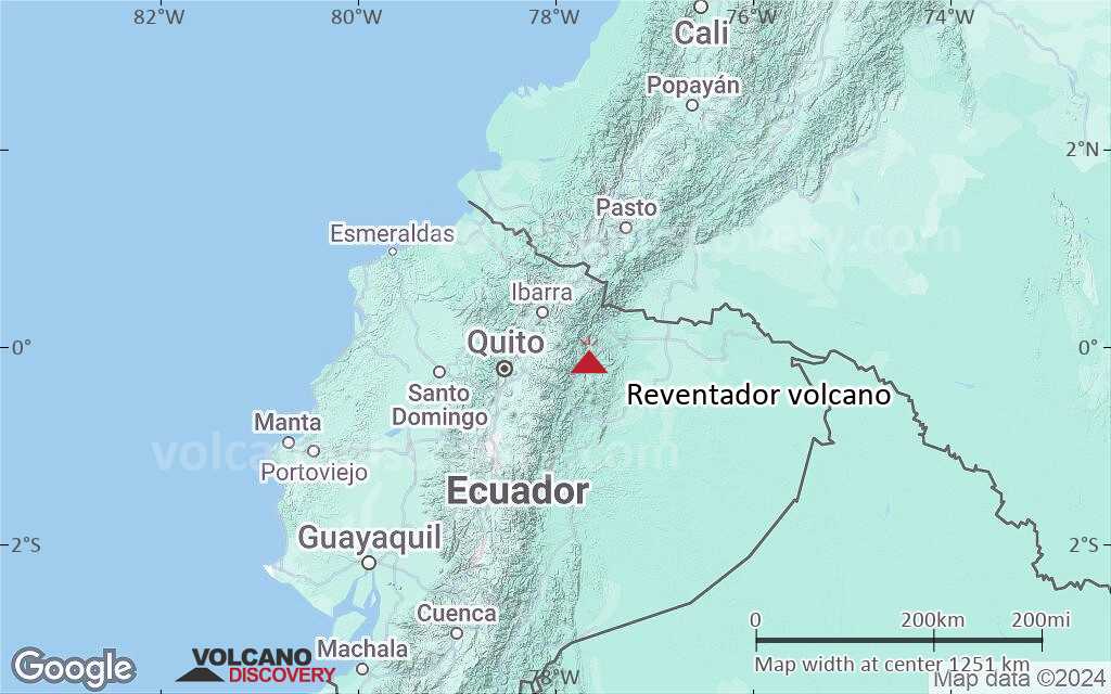
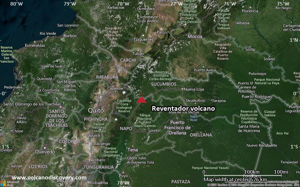
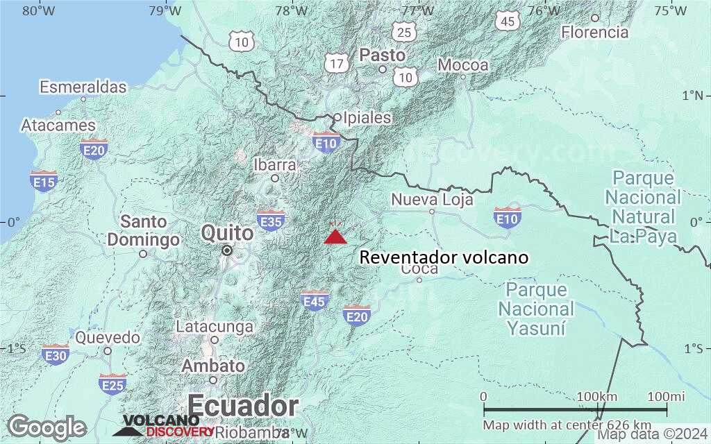
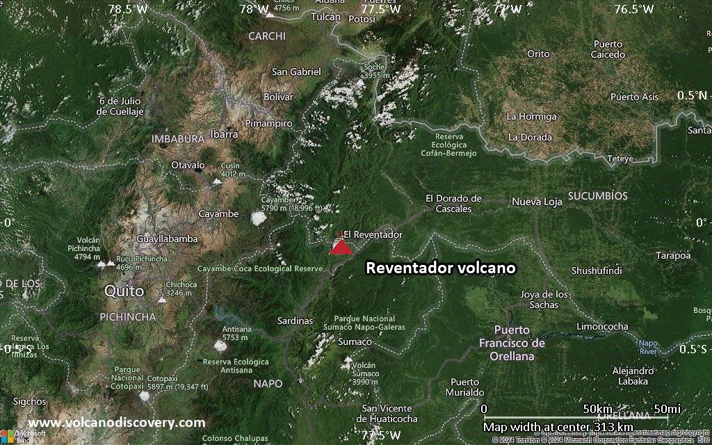
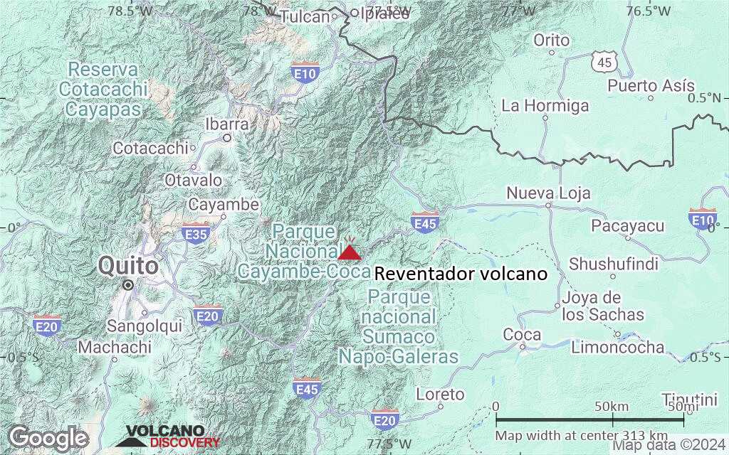
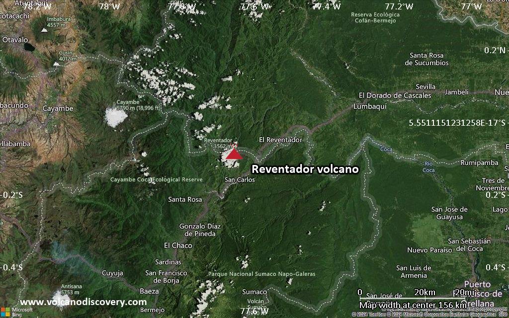
| RSS | EN | DE | EL | ES | FR | IT | RU

Reventador Vulkan

Updated: 29. Okt. 2025 02:31 GMT -
Stratovolcano
Ecuador, -0.08°S / -77.66°W
Summit height: 3562 m (11,686 ft)
Aktueller Status: Ausbruch (4 von 5)
Last update: 28 Okt 2025 (Volcanic Ash Advisory)
Vulcanian explosion at Reventador volcano in Jan 2020

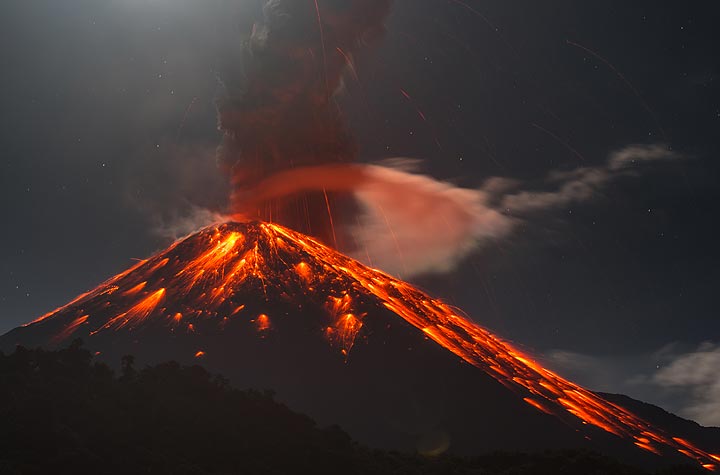
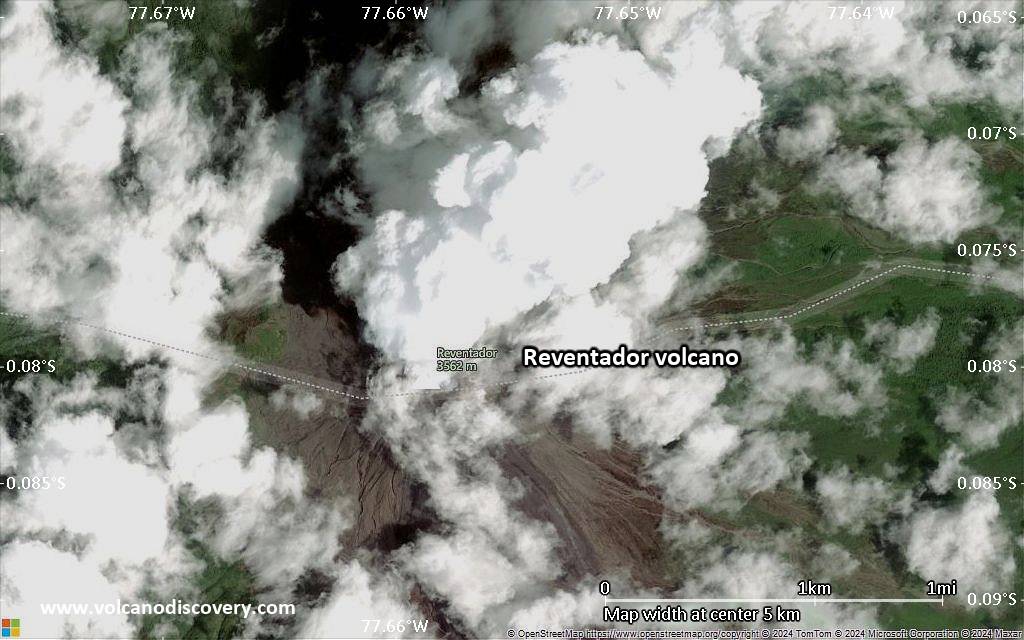
Reventador, a 3562 m high stratovolcano, is one of Ecuador's most active volcanoes.

[smaller] [larger]
Typische Aktivität: Explosive and effusive.
Ausbrüche des Reventador: 1541, 1590, 1691, 1748, 1797, 1802, 1843, 1843, 1844, 1856, 1871, 1894, 1898-1906, 1912, 1926, 1929, 1936, 1944, 1955, 1957, 1960, 1972, 1973-74, 1976, 2002 (large eruption), 2004 (Nov) - 2005 (Jan), 2005 (June) - 2006 (March), 2008 (July) - ongoing

Letzte Erdbeben in der Nähe

Datum und UhrzeitMag / TiefeDistanz / Ort
27. Okt. 21:51 (GMT -5)
2.0

0 km
25 km östlich Colombia-Ecuador, Region Fronteriza Info
Samstag, 18. Oktober 2025 GMT (1 Beben)
18. Okt. 05:30 (Guayaquil)
1.8

14 km
15 km westlich Ecuador Info

Beschreibung

Reventador had a major eruption on 3 November 2002, when it produced a 17-km-high eruption column, pyroclastic flows that traveled distances of up to 8 km, as well as lava flows from summit and flank vents.Reventador volcano belongs to a chain of volcanoes in the Cordillera Real, well east of the principal volcanic axis. The volcano is densely covered by forests and rises above the remote jungles of the western Amazon basin. The volcano has a 4-km-wide caldera that is widely breached to the east, which formed by collapse of the volcanic edifice. It is partially was formed by edifice collapse and is partially filled by a young, unvegetated stratovolcano rising about 1300 m above the caldera floor to a height above the caldera rim.
During historical times, Reventador has produced numerous lava flows and explosive eruptions that could even be seen from Quito. Rainfalls frequently produce mud-flows (lahars) that have accumulated a large debris plain on the eastern floor of the caldera.

Geologic History of Reventador volcano
Reventador volcano was constructed during 3 principal phases:
1) Basal Volcanic Complex
A stratovolcano began its construction ca. 350,000-400,000 years ago. The volcano suffered major collapse and produced an avalanche deposit of about 20 cubic km volume, about 30,000 years ago.

2) The intermediate volcano, called Volcán Paleo Reventador, is a stratovolcano which grew inside the caldera left by the collapse of the Basal Volcanic Complex. It, too, was destroyed by a large collapse of the east flank. The debris avalanche of this event is easily recognizable in topography and has a volume of 8 cubic km. The age of this collapse is estimated at 20,000 years ago.

3) The present volcano Reventador, one of the most active in Ecuador, followed the collapse of the intermediate volcano. It has been particularly active during the twentieth century. Significant eruptions occurred in 1922, 1926, 1929, 1936, 1944, 1955, 1958, 1960, 1972, 1973-1974 and 1976.

Source: Samaniego et al (2005) "Temporal Evolution of Magmatism in the Northern Volcanic Zone of the Andes: The Geology and Petrology of Cayambe Volcanic Complex (Ecuador)", J. Petrology, v. 46 (11), pp. 2225-2252

Lahars were observed at the volcano in June 2007, after ash emissions in May 2007.

Bedeutende Vulkanausbrüche: Reventador volcano

In the past 10,000 years, Reventador has had at least 26 confirmed eruptions, all documented by historical records or observations.
The table below lists all known eruptions (date in bold face) of Reventador volcano since around 1800. Updates on the most recent volcanic activity of Reventador can be found on the news page of Reventador volcano.
DatumHinweisVEITodesopferSchaden
2008 Jul 27 - anhaltend
Hist. dokumentiert
2
unbekannt
2007 Mär 15 ±7 d. - Okt 11 ?
Hist. dokumentiert
2
unbekannt
2004 Nov 7 ±3 d. - 2006 Mär 16 ±15 d.
Hist. dokumentiert
2
unbekannt
2002 Nov 3 - 2003 Jan 10 ?Summit and SE flank (2600 m)
Hist. dokumentiert
4
unbekannt
2002 Nov 3
(Ausbruch 2002 Nov 3 - 2003 Jan 10 ?)
Hist. dokumentiert
41-50 (*)
leicht
Info
1976 Jan 4 - Mai 16 ±15 d.
Hist. dokumentiert
2
unbekannt
1973 Nov 16 ±15 d. - 1974 Jul 16 ±15 d.
Hist. dokumentiert
3
unbekannt
1972 Jul 16 ±15 d. - Sep 16 ±15 d.
Hist. dokumentiert
2
unbekannt
1960 Jun 16 ±15 d.
Hist. dokumentiert
3
unbekannt
1958 Nov 16 ±15 d.
Hist. dokumentiert
3
unbekannt
1955 Jul 2 ±182 d.
Hist. dokumentiert
2
unbekannt
1944 Feb 24 - Mär 1
Hist. dokumentiert
3
unbekannt
1936 Aug 27
Hist. dokumentiert
3
unbekannt
1929
Hist. dokumentiert
3
unbekannt
1926 Jan 5 ±4 d. - Mai
Hist. dokumentiert
3
unbekannt
1912 Feb - Mär
Hist. dokumentiert
3
unbekannt
1898 Apr 8 - 1906
Hist. dokumentiert
3
unbekannt
1894
Hist. dokumentiert
3
unbekannt
1871 Jan 30
Hist. dokumentiert
2
unbekannt
1856 Dez 12 - Dez 13
Hist. dokumentiert
3
unbekannt
1843 Dez 7
Hist. dokumentiert
3
unbekannt
1844
Hist. dokumentiert
3
unbekannt
1843 oder davor
Hist. dokumentiert
2?
unbekannt
(*) Geschätzte Zahlen
Anmerkung:
Unsere Liste von Vulkanausbrüchen orientiert sich eng an der Datenbank des Global Volcanism Project (GVP) des Smithsonian Instituts, der international anerkanntesten globalen Datenquelle für Vulkanausbrüche. Sie schließt aber auch bedeutende Eruptionsepisoden oder damit zusammenhängende Vulkanereignisse ein. Unter "Vulkanausbrüchen" versteht man in der Regel meist Serien einzelner Eruptionsepisoden, die zeitlich aufeinander folgen oder sich (bei mehreren beteiligten Ausbruchspunkten an einem Vulkan) auch überlappen können und unter Umständen viele Jahre, Jahrzehnte oder noch länger andauern können. So ist z.B. die aktuelle Tätigkeit des Stromboli als ein einziger Ausbruch verstanden, der seit 1934 anhält.
Quellen: NOAA National Centers for Environmental Information (NCEI), Global Significant Volcanic Eruptions Database. doi:10.7289/V5TD9V7K | Global Volcanism Project / Smithsonian Institution

Ausbrüche des Vulkans Reventador


2008 eruptions
On 8 November 2008, residents of El Chaco village about 35 km SE of the volcano heard explosion sounds from Reventador. On 9 November, strombolian explosions and 2 lava flows were observed descending the north and south flanks of the central cone.

2002 eruption
Reventador volcano erupted suddenly on 3 November 2002 after 26 years of inactivity. Lava flows descended along the Montana, Marquez and Piedra Fina ravines, destroying roads and highways between Quito and Lago Agrio and damaged local farms.
At 09h12 local time, the main phase of the eruption began, producing an ash column rising to 16-17 km height above the summit. 3-4 hours later, the ash cloud reached the Inter-Andean Valley and the capital Quito ca. 100 km away from the volcano, where it caused almost total darkness in the late afternoon. The ash plume left a layer of fine gray ash up to 3-5 mm thick everywhere.
Over 2 million people were directly affected by the eruption, most of them by ash fall in areas up to 100-200 km distance. Near the volcano, pyroclastic flows devastated the flanks, reaching 8 km from the breached caldera, flowing down steep slopes to reach the Quijos river.
Heavy ashfall occurred in the provinces of Pichincha, Napo and Sucumbios and caused the closing of the international airport of Quito. The Trans Ecuadorian oil pipeline was shut down as precautionary measures.
2 people were seriously injured by impacts of falling tephra. 22 people from surrounding rural areas were evacuated. The Government of Ecuador declared a local emergency and made preparations for the potential evacuation of 3,000 people from the areas closest to the volcano, specifically from the village of El Reventador.
---
Source: Smithsonian / GVP monthly reports

Reventador Volcano FAQ

+When was the last eruption of Reventador volcano?

+How often does Reventador volcano erupt?

+How active is Reventador volcano at present?

+When was the largest eruption of Reventador volcano?

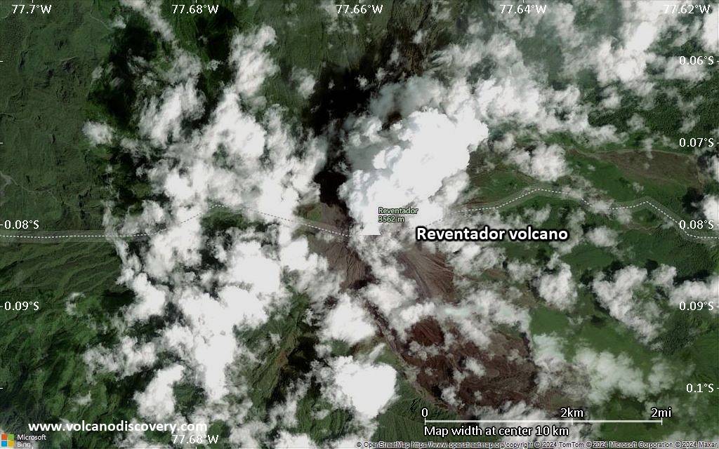
Neueste Satellitenbilder

Reventador Satellitenbild sat1Reventador Satellitenbild sat2
Reventador Vulkanreisen
5 days expedition to Ecuador to observe volcanic activity from close
7 days / 6 nights - Leicht bis mittel
Preis $ 1680
open

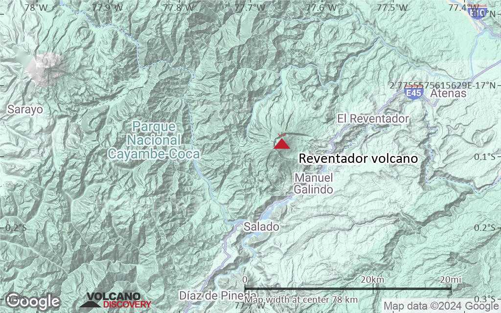
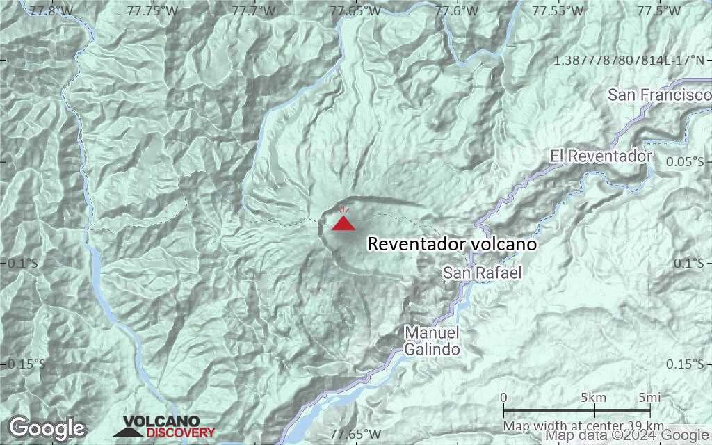
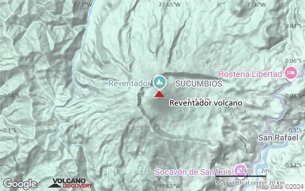
Reventador Vulkan Karten

Below is a selection of maps showing the location and surroundings of the volcano at various resolutions based on aerial-imagery / terrain maps. Feel free to use them for non-commercial purposes on your blog or website as long as you credit them with a link back to this page (click to copy it).
Satellite/aerial-type map of Reventador volcano (world scale)
Terrain-type map of Reventador volcano (world scale)
Satellite/aerial-type map of Reventador volcano (region scale large)
Terrain-type map of Reventador volcano (region scale large)
Satellite/aerial-type map of Reventador volcano (region scale medium)
Terrain-type map of Reventador volcano (region scale medium)
Satellite/aerial-type map of Reventador volcano (region scale small)
Terrain-type map of Reventador volcano (region scale small)
Satellite/aerial-type map of Reventador volcano (local scale large)
Terrain-type map of Reventador volcano (local scale large)
Satellite/aerial-type map of Reventador volcano (local scale medium)
Terrain-type map of Reventador volcano (local scale medium)
Satellite/aerial-type map of Reventador volcano (local scale small)
Terrain-type map of Reventador volcano (local scale small)
Satellite/aerial-type map of Reventador volcano (scale of 10s of km)
Terrain-type map of Reventador volcano (scale of 10s of km)
Satellite/aerial-type map of Reventador volcano (scale of 20-40 km)
Terrain-type map of Reventador volcano (scale of 20-40 km)
Satellite/aerial-type map of Reventador volcano (scale of approx. 10-20 km)
Terrain-type map of Reventador volcano (scale of approx. 10-20 km)
Satellite/aerial-type map of Reventador volcano (scale of 5-10 km)
Satellite/aerial-type map of Reventador volcano (scale of few kilometers)
Volcanoes & Earthquakes - new app for Android
Garantierte Reisen
3.-19. Nov 2025: Volcanoes and Spices - N-Sulawesi + Halmahera (Indonesien)
3.-19. Nov 2025: Von Krakatau bis Bali - Java (Indonesien)
20. Nov - 3. Dez 2025: Wüste, Salz und Vulkane - Danakilwüste (Äthiopien)
2.-10. Mai 2026: Feuerberge Siziliens - vom Stromboli zum Ätna - Äolische Inseln + Ätna
= Plätze frei   = garantiert   = Wenig freie Plätze   = Ausgebucht

Auf dieser Seite:

Try our free app!
Volcanoes & Earthquakes - new app for Android
Android | iOS version

More on VolcanoDiscovery

Warum gibt es Werbung auf dieser Seite?

Gemeinsam VolcanoDiscovery weiterentwickeln!

Tag für Tag arbeiten wir mit Leidenschaft daran, Ihnen die neuesten Daten zu Vulkanen und Erdbeben in aller Welt in Echtzeit bereitzustellen. Die Pflege unserer Website und unserer kostenlosen Apps erfordert jedoch erheblichen Zeitaufwand, Engagement und technische Ressourcen.
Mit Ihrer Unterstützung können wir unsere Hard- und Softwarekapazitäten ausbauen, unser Redaktionsteam stärken und sicherstellen, dass wir Sie weiterhin informieren können. Unser Ziel: ein unterbrechungsfreier und möglichst vollständiger Service, sobald sich ein Erdbeben oder Vulkanausbruch ereignet. Ihre Unterstützung macht dies möglich – jeder Beitrag zählt! Wenn Sie unsere Dienste und Infos hilfreich finden und sich an dieser Mission beteiligen möchten, unterstützen Sie uns noch heute:

Spenden mit PayPal:

Geplante Verbesserungen:

Dank Ihrer bisherigen Spenden konnten wir bereits umsetzen:
Laden Sie die App „Vulkane & Erdbeben“ herunter, um bei Vulkanen und Erdbeben immer auf dem aktuellsten Stand zu sein und neueste Nachrichten zu erhalten!
Android | iOS
Vielen Dank, dass Sie Teil dieser Mission sind!
Sources: VolcanoDiscovery / VolcanoAdventures and other sources as noted.
Use of material: Most text and images on our websites are owned by us. Re-use is generally not permitted without authorization. Contact us for licensing rights.
Volcanoes & Earthquakes
VolcanoDiscovery Home
Vulkane | Erdbeben | Fotos | News | | Shop | App
Adventure & Study Travel
Reisen zu Vulkanen und Vulkangebieten: Wanderreisen, Studienreisen, Fotoreisen
Tours & Dates | FAQ | About us
Get our newsletter!
Company info
Kontakt | Impressum | AGB
Follow us
Follow us on facebook Follow us on Instagram Follow us on Bluesky Follow us on Twitter Visit our Youtube channel
EN | DE | EL | ES | FR | IT | RU
VolcanoDiscovery GmbH, Germany, Reg. nr.: HRB 103744, EU Tax Id: DE 297 465 123 owned and created by
Dr. Tom Pfeiffer, volcanologist, volcano photographer, tour organizer member of
IAVCEI
IAVCEI
Vulkanologische Gesellschaft
Volcanological Society
Ecotourism Greece
Ecotourism Greece
RUV insurance
Insured by R+V
VolcanoDiscovery © 2004- All Rights Reserved | Datenschutz - Cookie Einstellungen