


Edgecumbe Volcano
Updated: Apr 30, 2025 21:43 GMT -
Stratovolcanoes
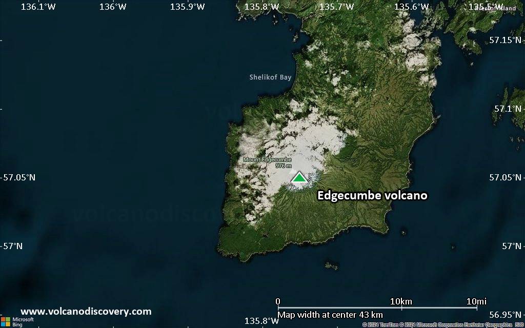
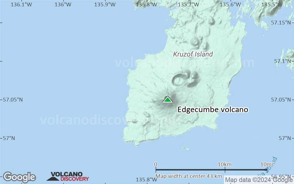
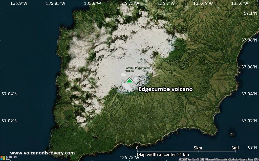
United States, Eastern Alaska, 57.05°N / -135.75°W 
Summit height: 970 m / 3,182 ft
Current status: normal or dormant (1 out of 5)
Last update: 25 Feb 2023 (seismic swarm continues)
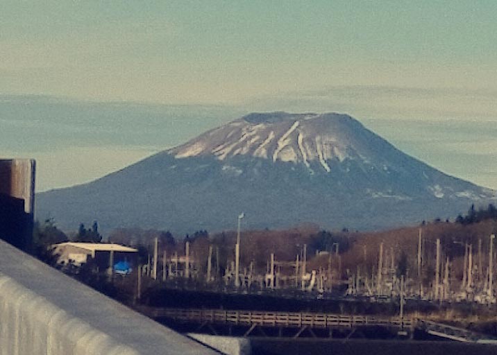
Mt. Edgecumbe volcano Sitka, AK (image taken by Fate Xalis)
[smaller] [larger]
Edgecumbe volcano eruptions: 2220 BC +-100 years
Latest nearby earthquakes
| Date and Time | Mag / Depth | Distance / Location | |||
|---|---|---|---|---|---|
| Apr 30, 04:00 am (Universal Time) | 0.3 9.7 km | 5.3 km (3.3 mi) to the SW | Info | ||
| Apr 30, 02:16 am (Universal Time) | 0.6 12 km | 6.5 km (4 mi) to the W | Info | ||
| Monday, April 28, 2025 GMT (1 quake) | |||||
| Apr 28, 07:35 pm (Universal Time) | 0.3 8.7 km | 4.1 km (2.6 mi) to the NE | Info | ||
| Sunday, April 27, 2025 GMT (1 quake) | |||||
| Apr 26, 05:57 pm (GMT -8) | 1.0 7.5 km | 5.8 km (3.6 mi) to the W | Info | ||
| Friday, April 25, 2025 GMT (1 quake) | |||||
| Apr 25, 02:41 am (Universal Time) | 0.4 6.3 km | 8.6 km (5.3 mi) to the E | Info | ||
| Tuesday, April 22, 2025 GMT (1 quake) | |||||
| Apr 22, 04:25 pm (Universal Time) | 0.1 9.7 km | 19 km (12 mi) to the E | Info | ||
| Saturday, April 19, 2025 GMT (1 quake) | |||||
| Apr 19, 01:03 pm (Universal Time) | 0.4 13 km | 3.2 km (2 mi) to the NE | Info | ||
Background
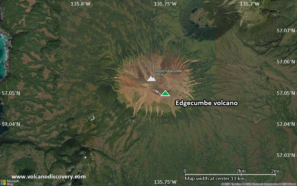
The Pleistocene-to-Holocene Mount Edgecumbe volcanic field covers about 260 sq km of Kruzov Island west of Sitka in the SE panhandle of Alaska. The basaltic-to-dacitic field is dominated by the large composite cones of Mount Edgecumbe, Crater Ridge, and Shell Mountain and has an unusual tectonic setting only 16 km east of the Queen Charlotte-Fairweather transform fault separating the North American and Pacific plates. Mount Edgecumbe, a 970-m-high stratovolcano with a well-defined crater, is the largest volcano of the Edgecumbe field. Crater Ridge is truncated by a 1.6-km-wide, 240-m-deep caldera. These and other vents of the volcanic field are oriented along a SW-NE line. Volcanic activity originated about 600,000 years ago along fissures cutting Kruzof Island. A series of major silicic explosive eruptions took place about 9000-13,000 radiocarbon years ago. The latest dated eruptions were phreatomagmatic explosions during the mid-Holocene, and all postglacial activity has been pyroclastic. Reports of historical eruptions of Mount Edgecumbe are unsubstantiated.---
Smithsonian / GVP volcano information
Significant volcanic eruptions: Edgecumbe volcano
No historic eruptions are known from Edgecumbe volcano, but evidence from at least 4 eruptions during the past 10,000 years can be found in the geological record.
The table below lists all known eruptions (date in bold face) of Edgecumbe volcano in historic times and during the past 10,000 years. Updates on the most recent volcanic activity of Edgecumbe can be found on the news page of Edgecumbe volcano.
| Date | Note | VEI | Deaths | Damage | |
|---|---|---|---|---|---|
| ? | |||||
| ? | |||||
| ? | |||||
| ? | |||||
Remark:
Our list of volcanic eruptions closely follows the database of eruptions of the Smithsonian's Global Volcanism Project (GVP), the internationally most recognized data source for volcanic eruptions, but also includes significant eruptive episodes or related volcano events. "Volcanic eruptions" are usually to be understood as sequences of individual eruptive episodes that can follow each other, or even overlap (if several vents are involved), and can last many years, decades or even longer. For example, the current activity of Stromboli volcano is understood as a single eruption that has been ongoing since 1934.
Sources: NOAA National Centers for Environmental Information (NCEI), Global Significant Volcanic Eruptions Database. doi:10.7289/V5TD9V7K | Global Volcanism Project / Smithsonian Institution
Edgecumbe Volcano FAQ
+When was the last eruption of Edgecumbe volcano?
The last confirmed eruption of Edgecumbe occurred around 2360 BC - 2080 BC.
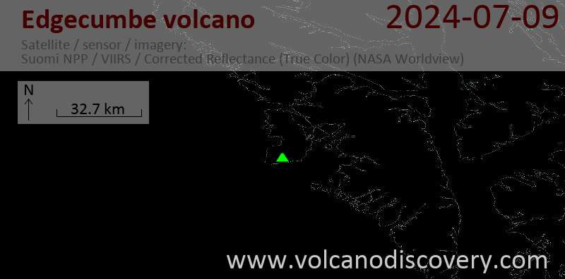
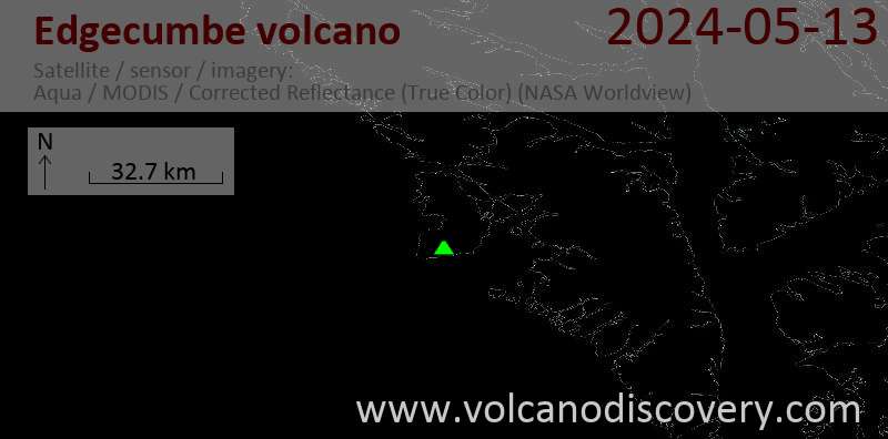
Latest satellite images
Edgecumbe Volcano Maps
Below is a selection of maps showing the location and surroundings of the volcano at various resolutions based on aerial-imagery / terrain maps. Feel free to use them for non-commercial purposes on your blog or website as long as you credit them with a link back to this page (click to copy it).
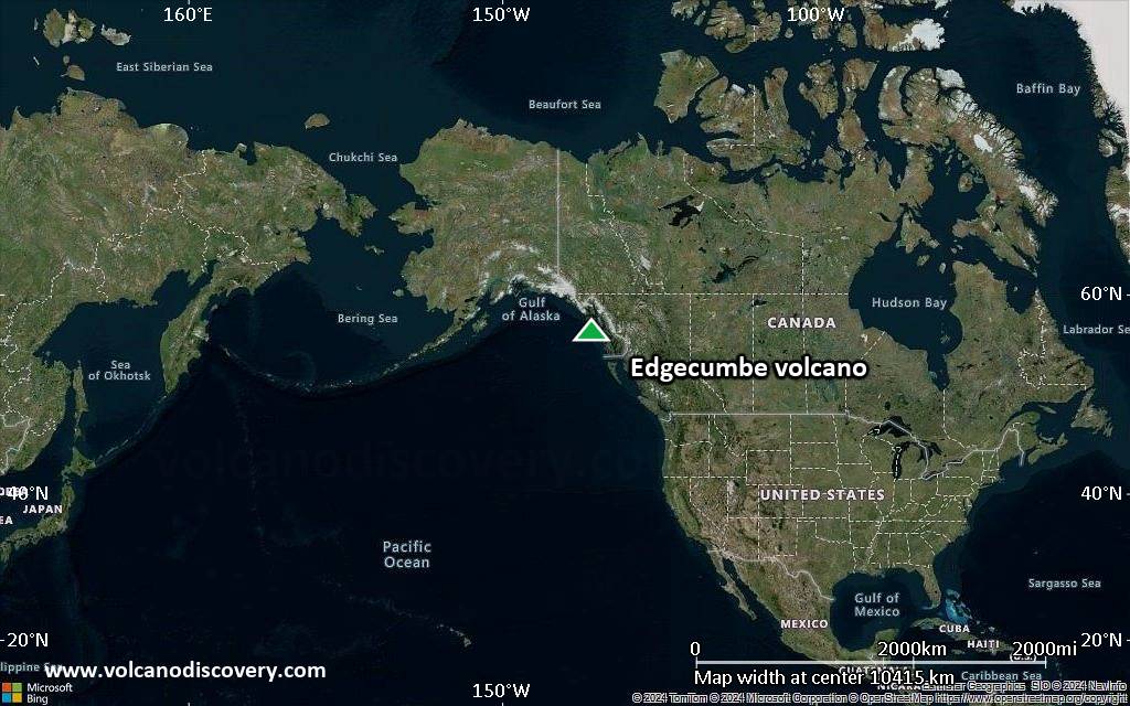
Satellite/aerial-type map of Edgecumbe volcano (world scale)
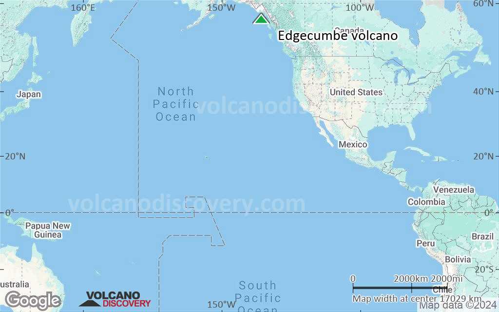
Terrain-type map of Edgecumbe volcano (world scale)
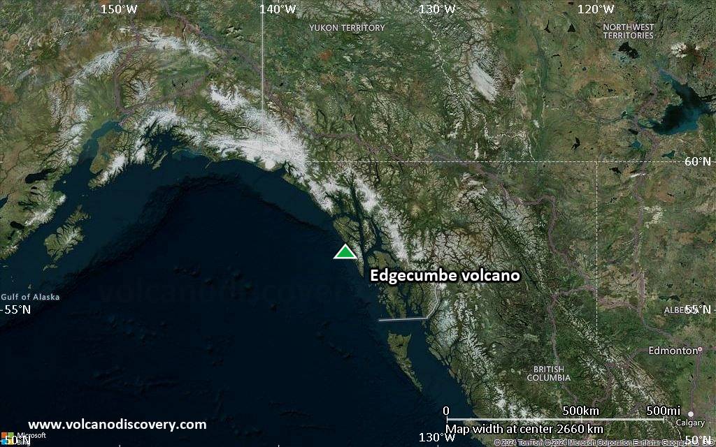
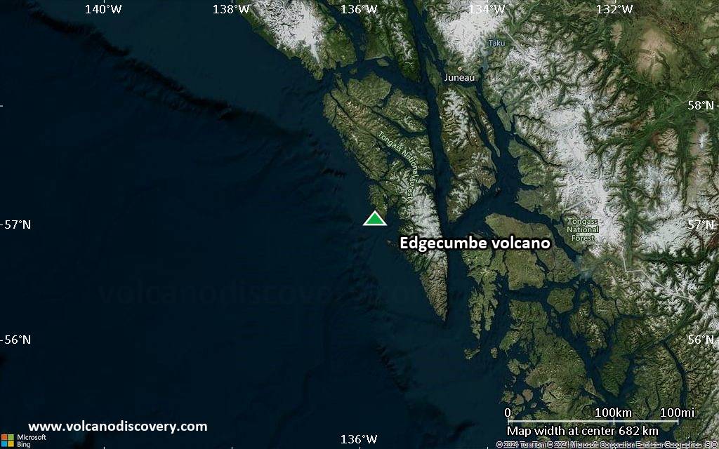
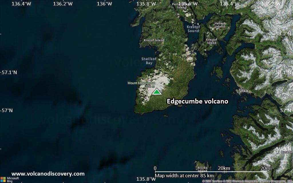
Satellite/aerial-type map of Edgecumbe volcano (region scale large)
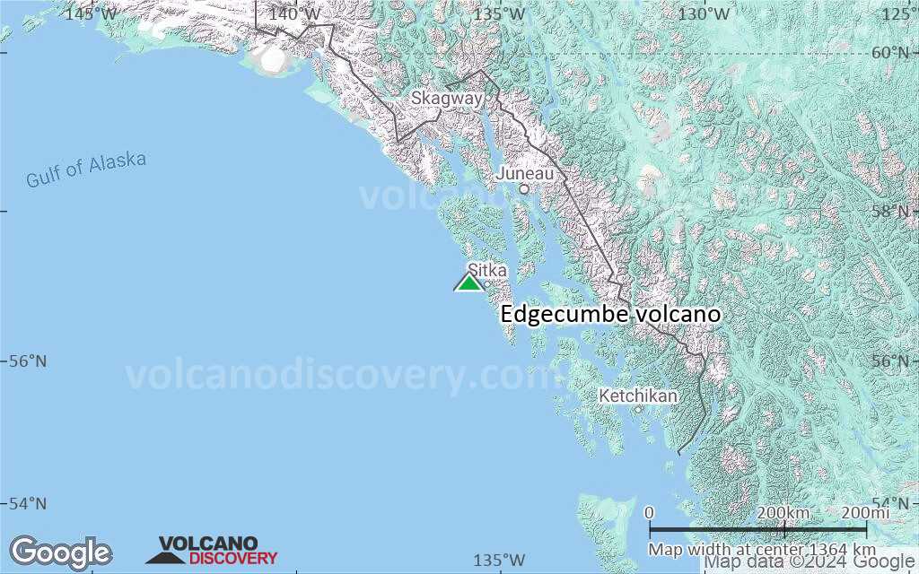
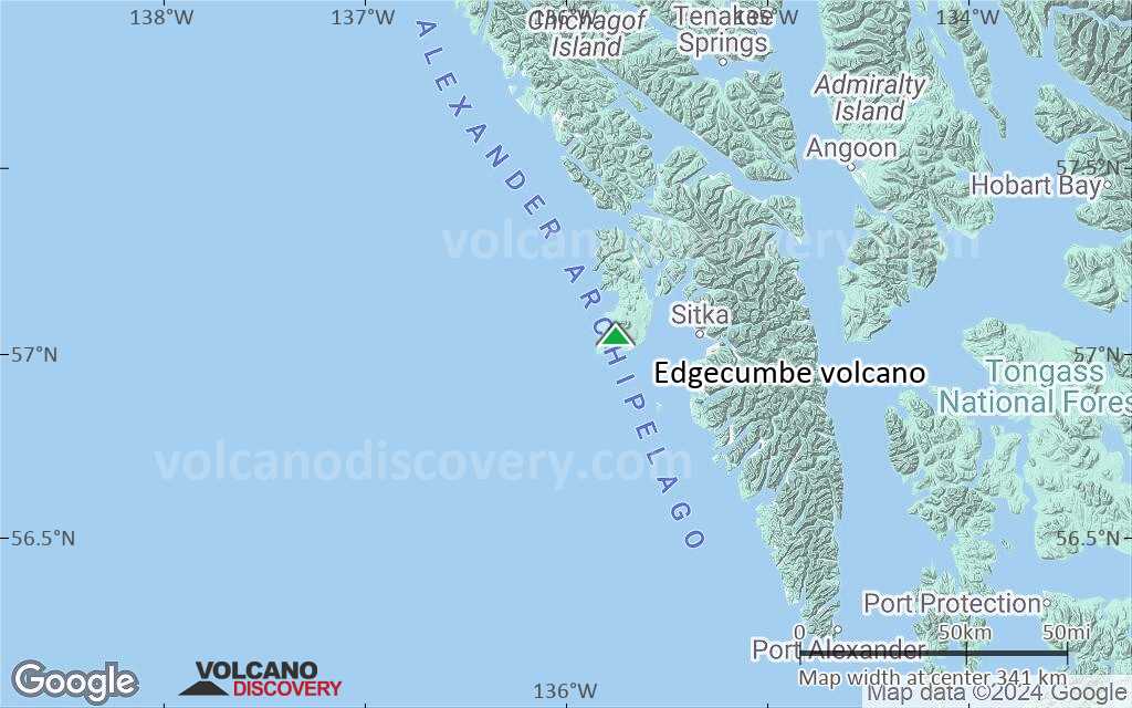
Terrain-type map of Edgecumbe volcano (region scale large)
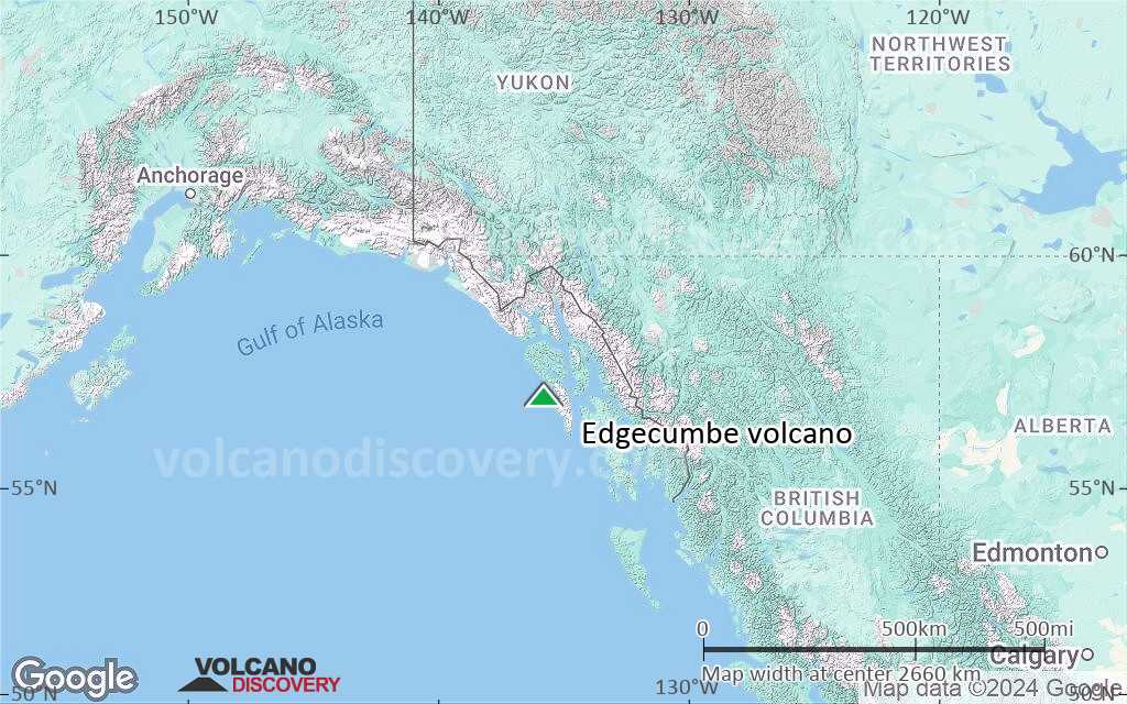
Satellite/aerial-type map of Edgecumbe volcano (region scale medium)
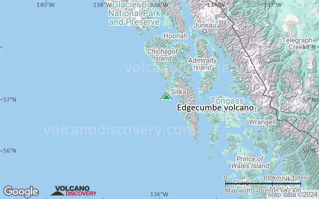
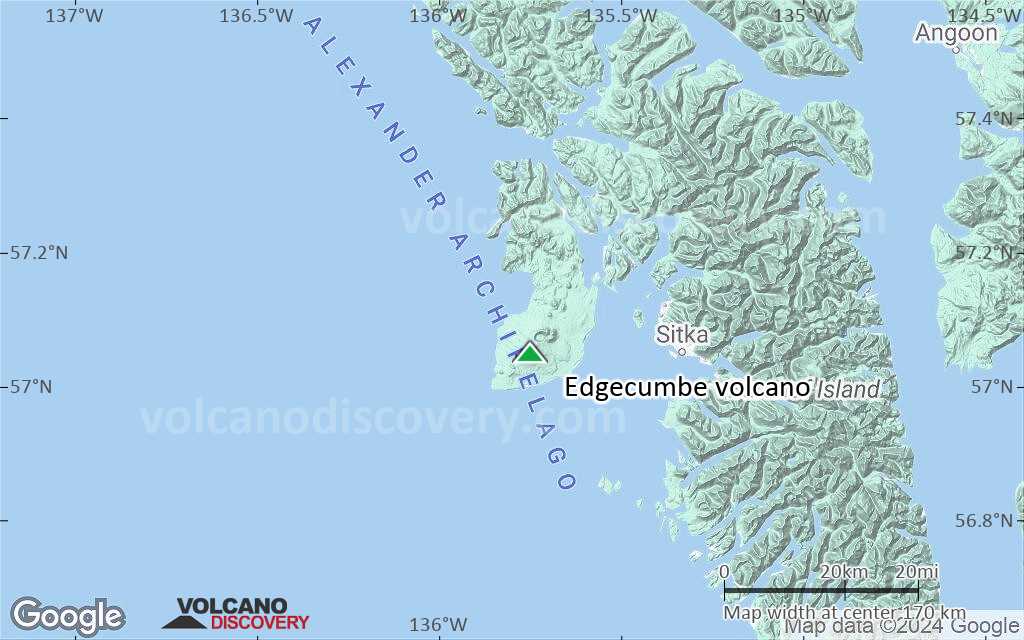
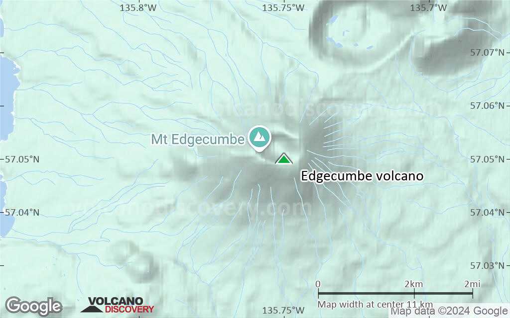
Terrain-type map of Edgecumbe volcano (region scale medium)
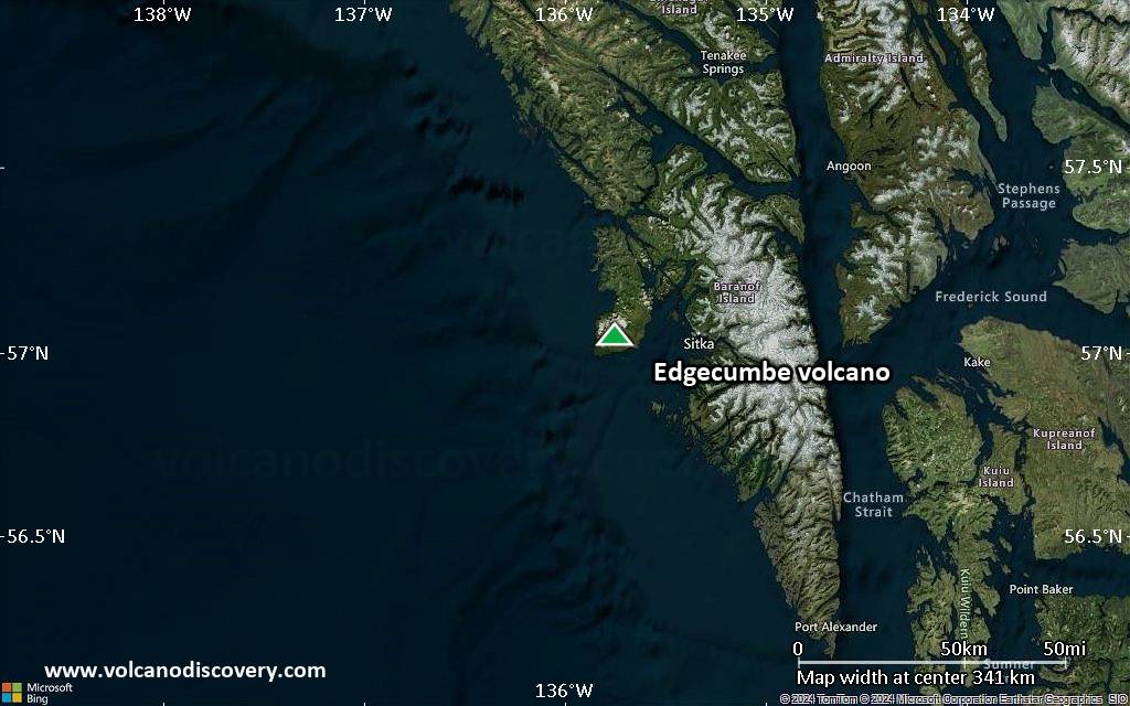
Satellite/aerial-type map of Edgecumbe volcano (region scale small)
Terrain-type map of Edgecumbe volcano (region scale small)
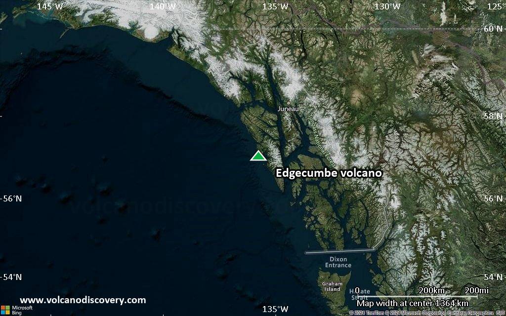
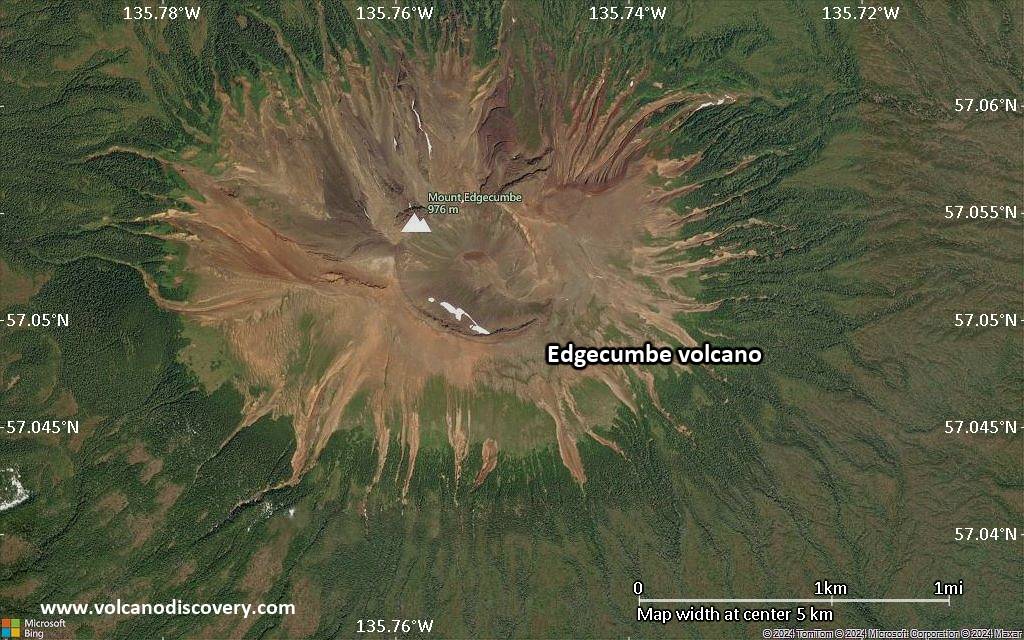
Satellite/aerial-type map of Edgecumbe volcano (local scale large)
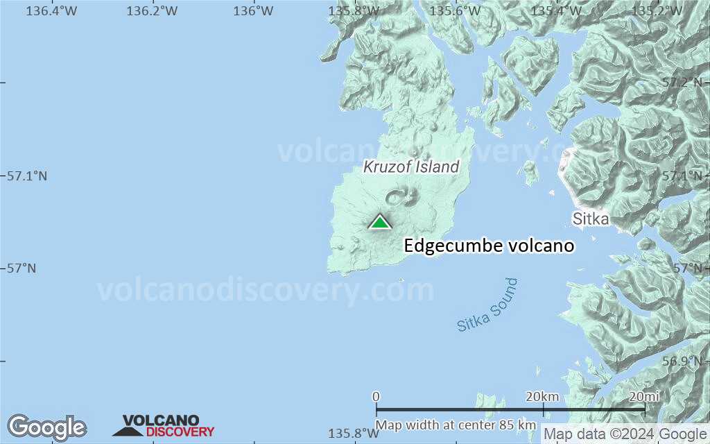
Terrain-type map of Edgecumbe volcano (local scale large)

Satellite/aerial-type map of Edgecumbe volcano (local scale medium)
Terrain-type map of Edgecumbe volcano (local scale medium)
Satellite/aerial-type map of Edgecumbe volcano (local scale small)
Terrain-type map of Edgecumbe volcano (local scale small)
Satellite/aerial-type map of Edgecumbe volcano (scale of 10s of km)
Terrain-type map of Edgecumbe volcano (scale of 10s of km)
Satellite/aerial-type map of Edgecumbe volcano (scale of 20-40 km)

Terrain-type map of Edgecumbe volcano (scale of 20-40 km)
Satellite/aerial-type map of Edgecumbe volcano (scale of approx. 10-20 km)
Terrain-type map of Edgecumbe volcano (scale of approx. 10-20 km)
Satellite/aerial-type map of Edgecumbe volcano (scale of 5-10 km)

Satellite/aerial-type map of Edgecumbe volcano (scale of few kilometers)


