El Pedregal Volcano
Updated: May 4, 2025 09:10 GMT -
Shield
Honduras, 14.1°N / -87.27°W 
Summit height: 1593 m / 5226 ft
Current status: (probably) extinct (0 out of 5)
[smaller] [larger]
El Pedregal volcano eruptions: None during the past 10,000 years
Less than few million years ago (Pleistocene)
Latest nearby earthquakes
| Date and Time | Mag / Depth | Distance / Location | |||
|---|---|---|---|---|---|
Background
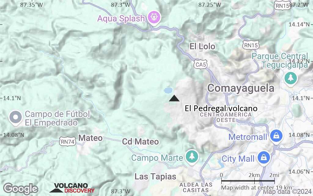
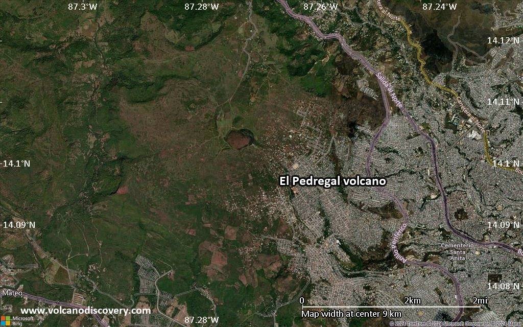
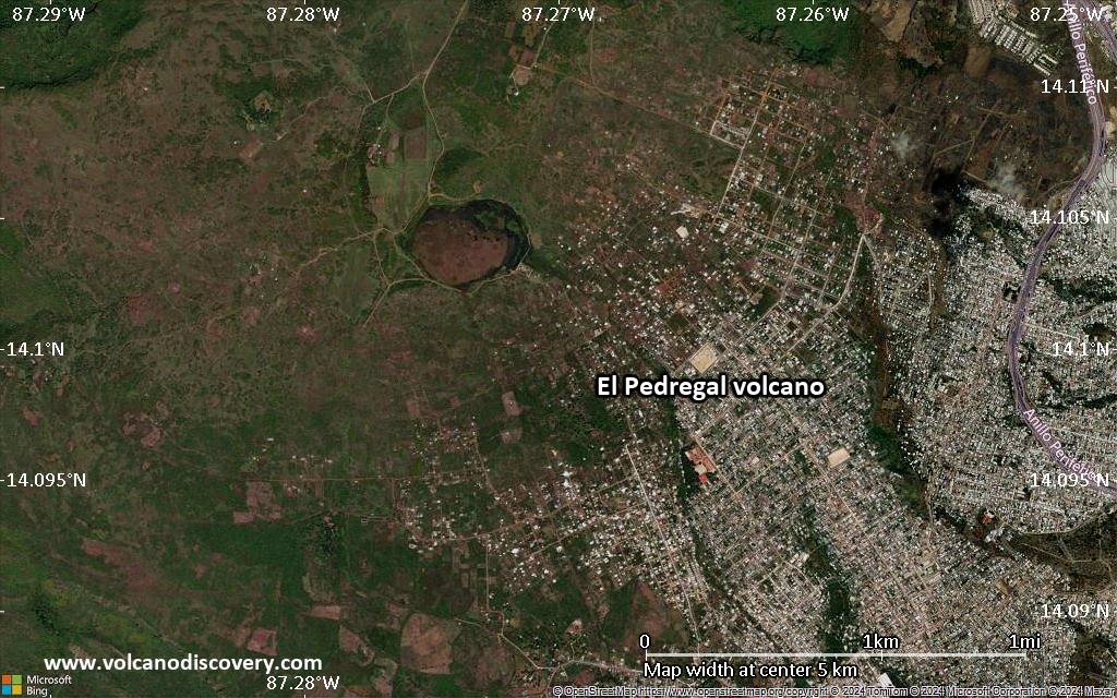
El Pedregal, the most prominent Quaternary volcano in the highlands of central Honduras, is a low-angle basaltic shield volcano constructed on a high plateau of Miocene ignimbrites immediately west of the capital city of Tegucigalpa. A small ephemeral pond occupies a saucer-shaped summit depression. Isolated remnants of basaltic lava flows from El Pedregal and separate vents occur over broad areas primarily to the west, but NW nearly to the village of Zambrano. A small cone near Matasano produced reddish scoria during the only pyroclastic eruption in the Quaternary volcanic fields near Tegucigalpa.---
Source: Smithsonian / GVP volcano information
Latest satellite images
El Pedregal Volcano Maps
Below is a selection of maps showing the location and surroundings of the volcano at various resolutions based on aerial-imagery / terrain maps. Feel free to use them for non-commercial purposes on your blog or website as long as you credit them with a link back to this page (click to copy it).
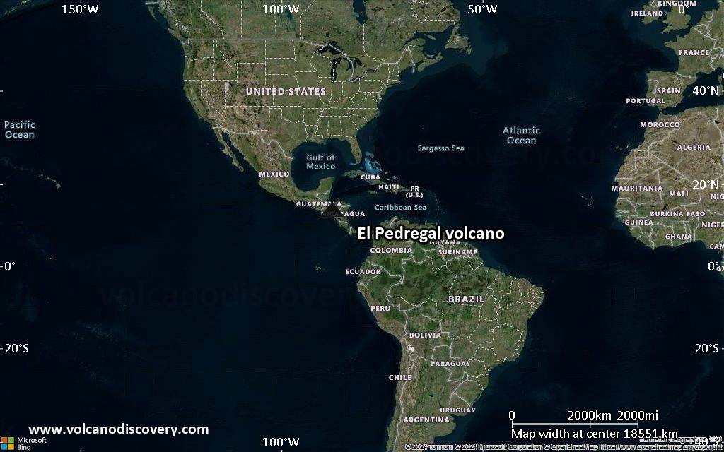
Satellite/aerial-type map of El Pedregal volcano (world scale)
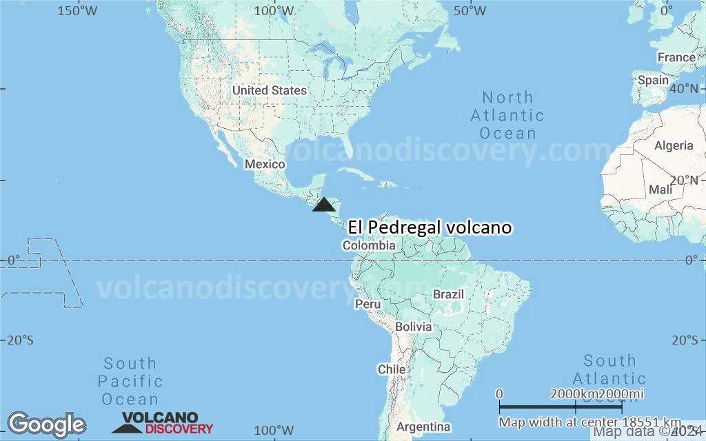
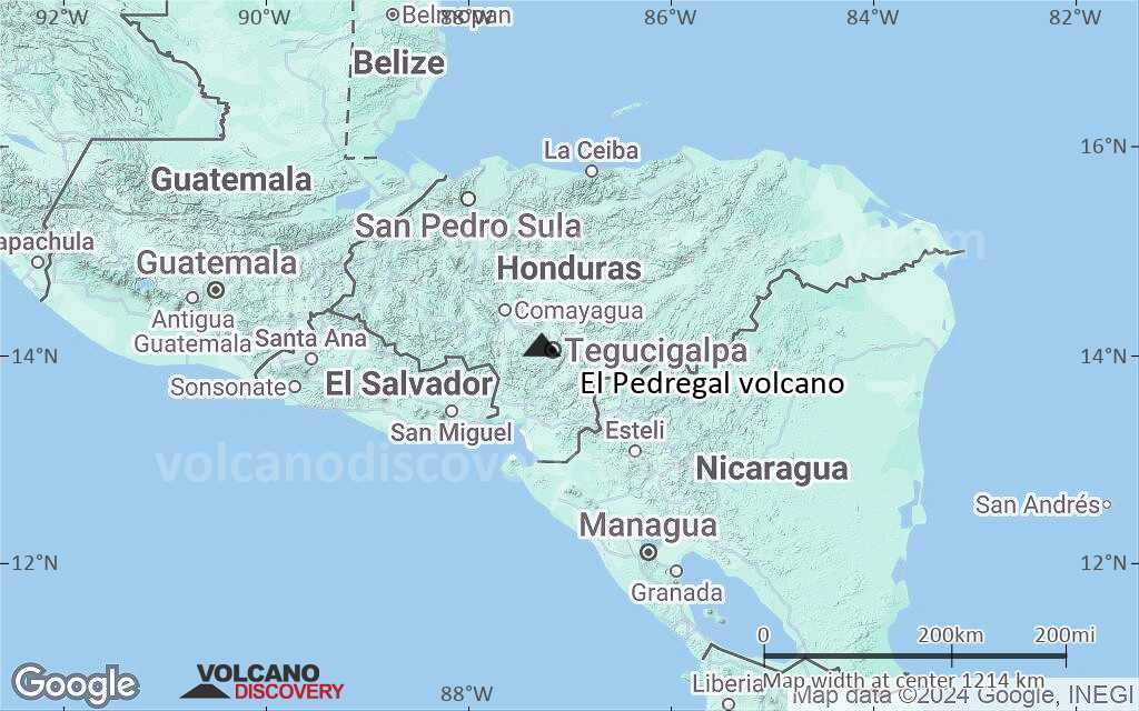
Terrain-type map of El Pedregal volcano (world scale)

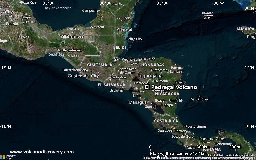
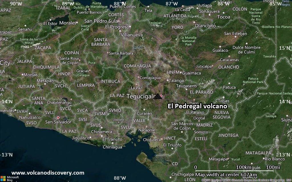
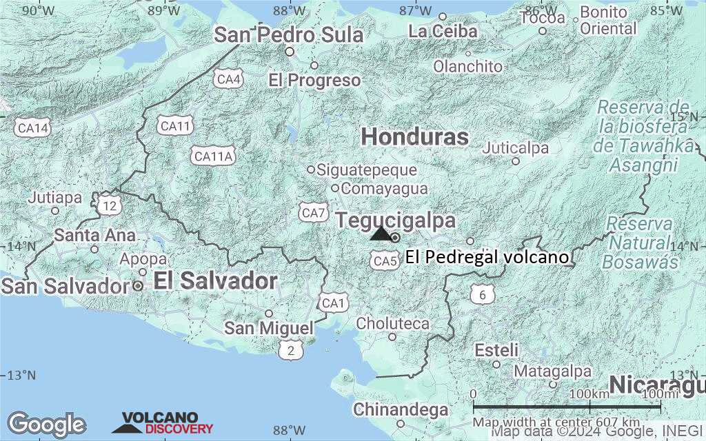
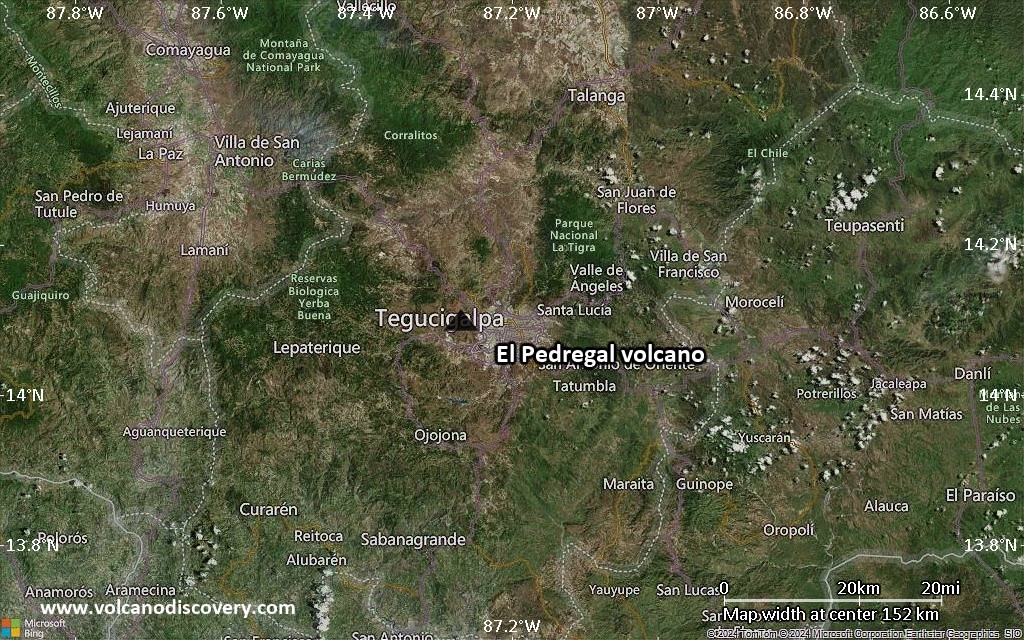
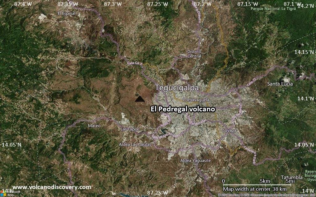
Satellite/aerial-type map of El Pedregal volcano (region scale large)
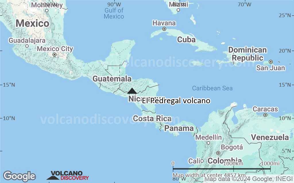
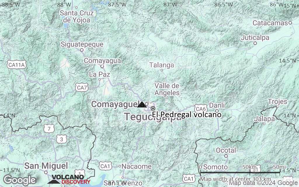
Terrain-type map of El Pedregal volcano (region scale large)
Satellite/aerial-type map of El Pedregal volcano (region scale medium)
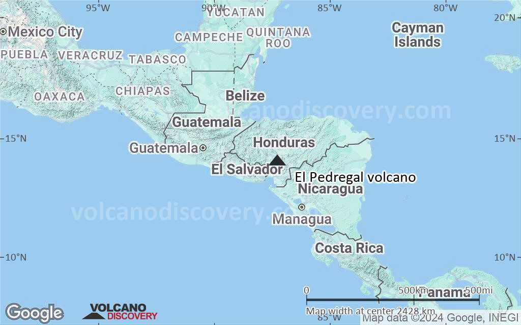
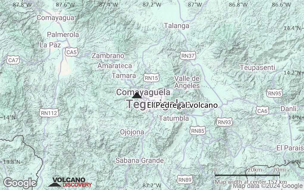
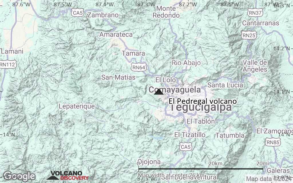
Terrain-type map of El Pedregal volcano (region scale medium)

Satellite/aerial-type map of El Pedregal volcano (region scale small)
Terrain-type map of El Pedregal volcano (region scale small)
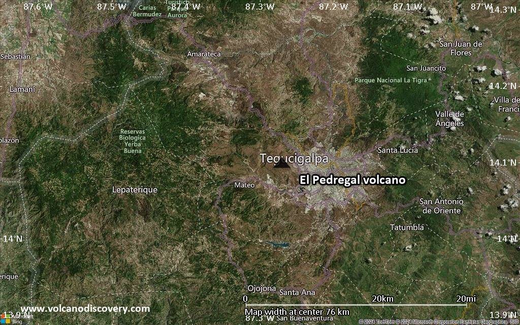
Satellite/aerial-type map of El Pedregal volcano (local scale large)
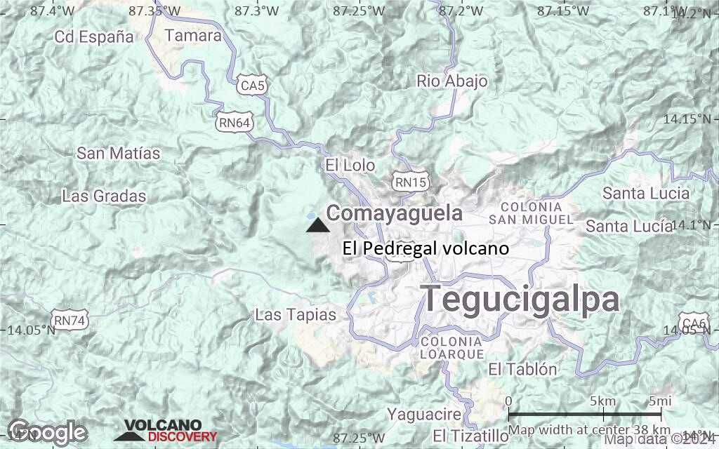
Terrain-type map of El Pedregal volcano (local scale large)
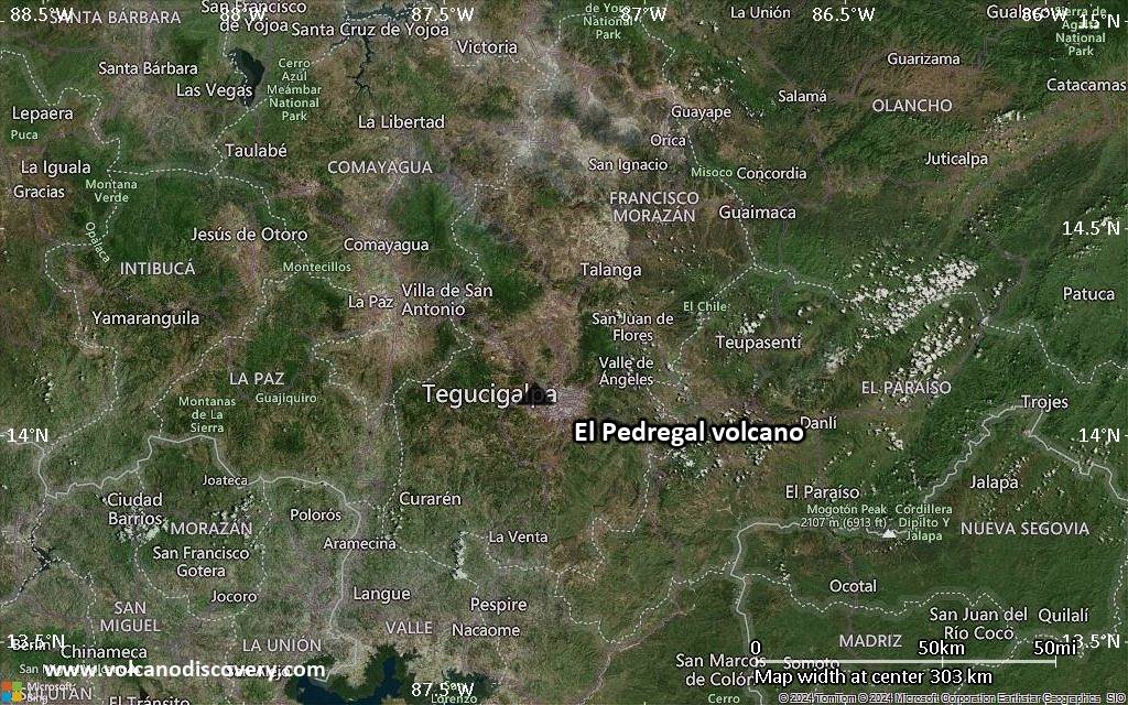
Satellite/aerial-type map of El Pedregal volcano (local scale medium)
Terrain-type map of El Pedregal volcano (local scale medium)
Satellite/aerial-type map of El Pedregal volcano (local scale small)
Terrain-type map of El Pedregal volcano (local scale small)
Satellite/aerial-type map of El Pedregal volcano (scale of 10s of km)
Terrain-type map of El Pedregal volcano (scale of 10s of km)
Satellite/aerial-type map of El Pedregal volcano (scale of 20-40 km)
Terrain-type map of El Pedregal volcano (scale of 20-40 km)
Satellite/aerial-type map of El Pedregal volcano (scale of approx. 10-20 km)
Terrain-type map of El Pedregal volcano (scale of approx. 10-20 km)
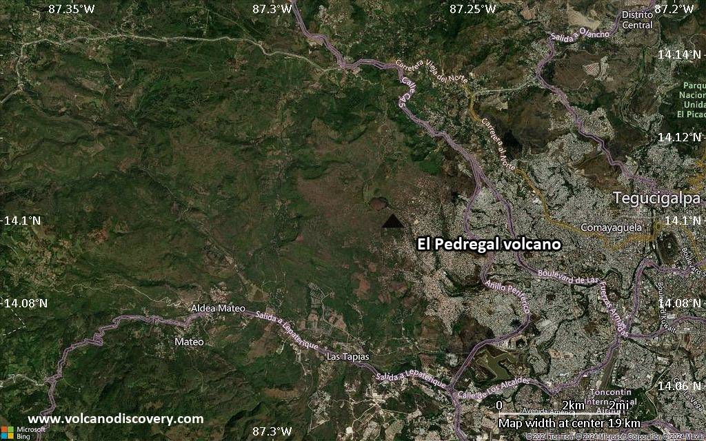
Satellite/aerial-type map of El Pedregal volcano (scale of 5-10 km)
Satellite/aerial-type map of El Pedregal volcano (scale of few kilometers)