


Giggenbach Volcano
Updated: Jul 24, 2025 15:07 GMT -
Submarine volcano
New Zealand, Kermadec Islands, -30.04°S / -178.71°W 
Summit height: -65 m / - 213 ft
Current status: normal or dormant (1 out of 5)
[smaller] [larger]
Giggenbach volcano eruptions: unknown, no recent eruptions
Latest nearby earthquakes
| Date and Time | Mag / Depth | Distance / Location | |||
|---|---|---|---|---|---|
Background
Giggenbach submarine volcano, named after volcano gas geochemist Werner Giggenbach, lies NW of Macauley volcano. The flat summit of the basaltic-to-dacitic volcano is cut by a 700-m-wide crater containing a central cone. The volcano reaches to within 65 m of the sea surface, and the summit is cut by numerous small explosion pits and craters. Much of the edifice is blanketed by dacitic pumice, and several edifice-collapse scarps cut its flanks. Large satellite cones are found on the ENE and SSW flanks, and a chain of eight small satellitic cones that fed recent andesitic-dacitic lava flows lies on the west flank. A large hydrothermal vent field was found within the summit crater.---
Smithsonian / GVP volcano information
Latest satellite images
Giggenbach Volcano Maps
Below is a selection of maps showing the location and surroundings of the volcano at various resolutions based on aerial-imagery / terrain maps. Feel free to use them for non-commercial purposes on your blog or website as long as you credit them with a link back to this page (click to copy it).
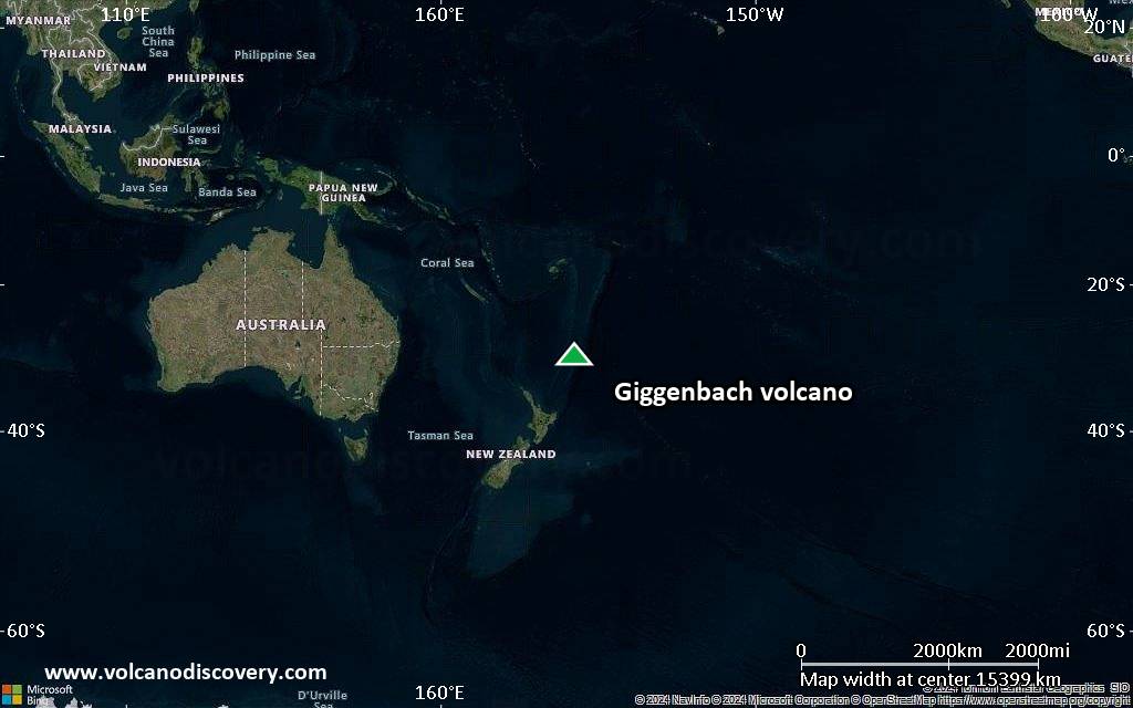
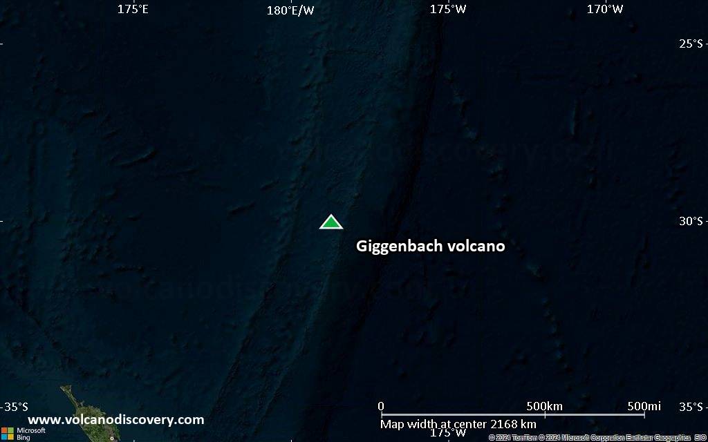
Satellite/aerial-type map of Giggenbach volcano (world scale)

Terrain-type map of Giggenbach volcano (world scale)
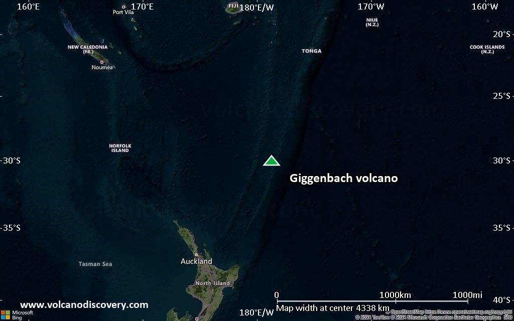
Satellite/aerial-type map of Giggenbach volcano (region scale large)

Terrain-type map of Giggenbach volcano (region scale large)
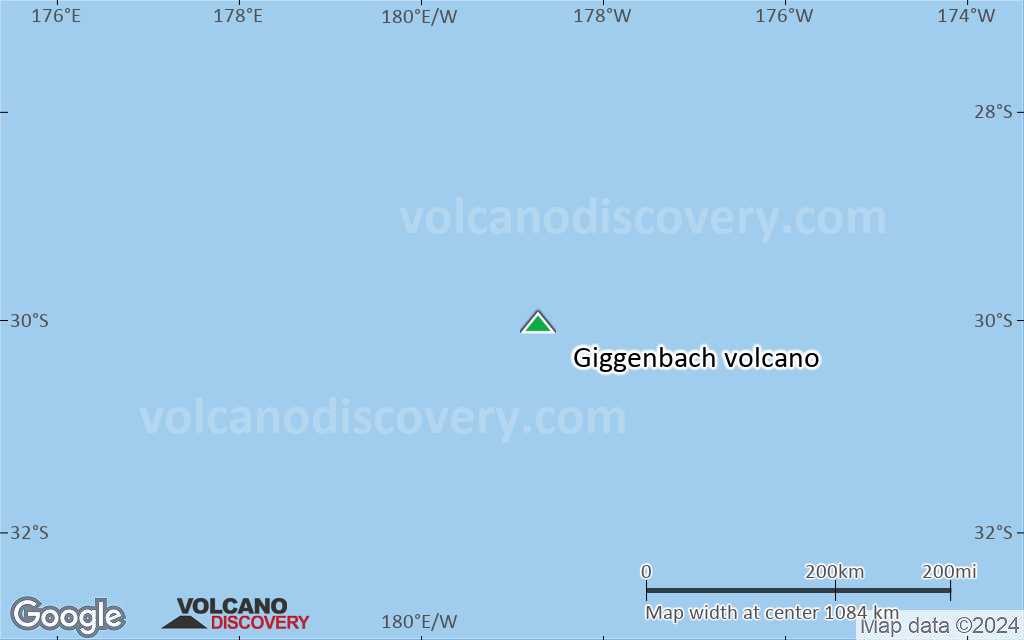
Satellite/aerial-type map of Giggenbach volcano (region scale medium)

Terrain-type map of Giggenbach volcano (region scale medium)

Satellite/aerial-type map of Giggenbach volcano (region scale small)
Terrain-type map of Giggenbach volcano (region scale small)

Satellite/aerial-type map of Giggenbach volcano (local scale large)

Terrain-type map of Giggenbach volcano (local scale large)

Satellite/aerial-type map of Giggenbach volcano (local scale medium)

Terrain-type map of Giggenbach volcano (local scale medium)
Satellite/aerial-type map of Giggenbach volcano (local scale small)

Terrain-type map of Giggenbach volcano (local scale small)

Satellite/aerial-type map of Giggenbach volcano (scale of 10s of km)

Terrain-type map of Giggenbach volcano (scale of 10s of km)

Satellite/aerial-type map of Giggenbach volcano (scale of 20-40 km)

Terrain-type map of Giggenbach volcano (scale of 20-40 km)

Satellite/aerial-type map of Giggenbach volcano (scale of approx. 10-20 km)

Terrain-type map of Giggenbach volcano (scale of approx. 10-20 km)

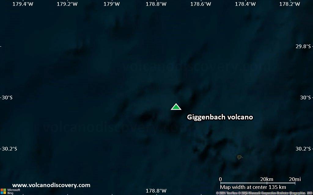
Satellite/aerial-type map of Giggenbach volcano (scale of 5-10 km)

Satellite/aerial-type map of Giggenbach volcano (scale of few kilometers)


