Contact | RSS | EN | DE | EL | ES | FR | IT | RU

Honggeertu Volcano

Updated: Mar 22, 2025 14:29 GMT -
cinder cones
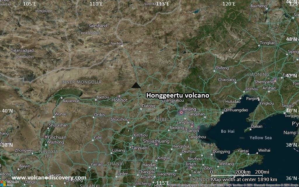
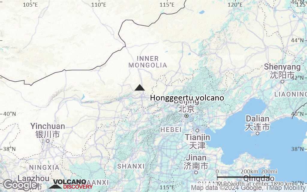
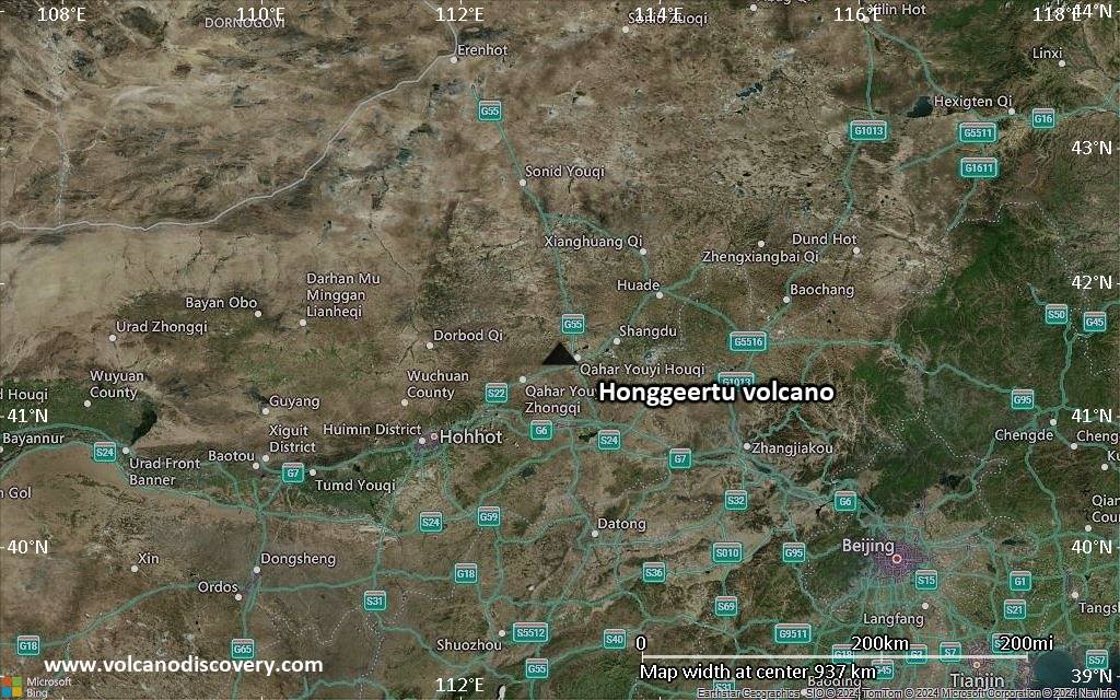
Nei Mongol Province, China, 41.47°N / 113°E
Summit height: 1700 m / 5,577 ft
Current status: (probably) extinct (0 out of 5)

Honggeertu volcano is a volcanic field consisting of about 12 cinder cones located 335 km NW of Beijing in the Nei Mongul Province. It is uncertain whether eruptions have occurred in the Holocene.

[smaller] [larger]
Typical eruption style: strombolian
Honggeertu volcano eruptions: unknown, no recent eruptions

Latest nearby earthquakes

Date and TimeMag / DepthDistance / Location

Latest satellite images

Honggeertu satellite image sat1Honggeertu satellite image sat2

Honggeertu Volcano Maps

Below is a selection of maps showing the location and surroundings of the volcano at various resolutions based on aerial-imagery / terrain maps. Feel free to use them for non-commercial purposes on your blog or website as long as you credit them with a link back to this page (click to copy it).
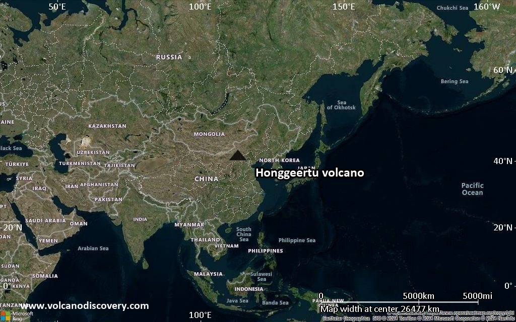
Satellite/aerial-type map of Honggeertu volcano (world scale)
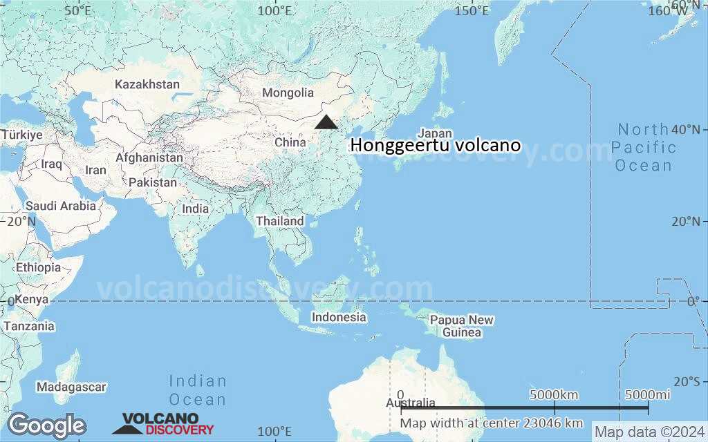
Terrain-type map of Honggeertu volcano (world scale)
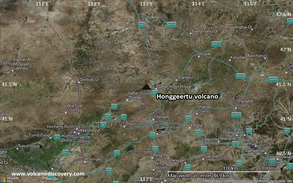
Satellite/aerial-type map of Honggeertu volcano (region scale large)
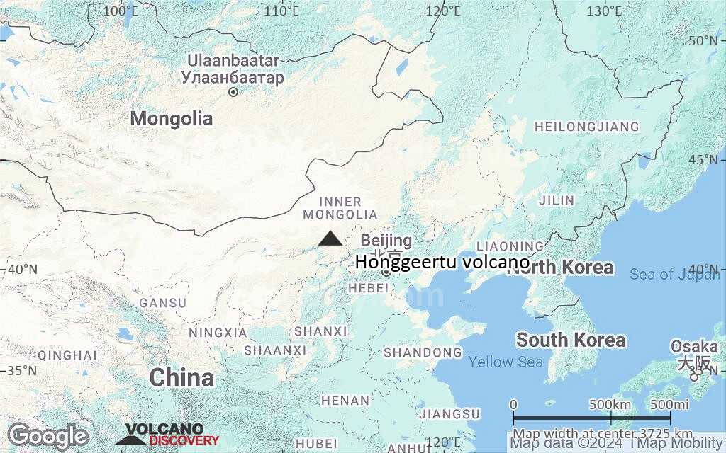
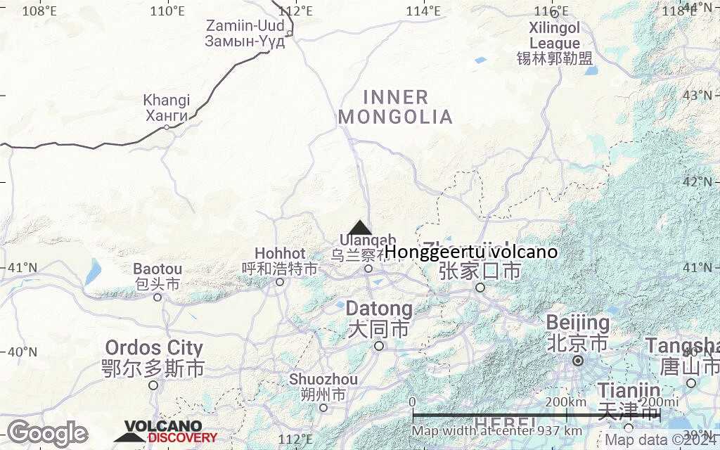
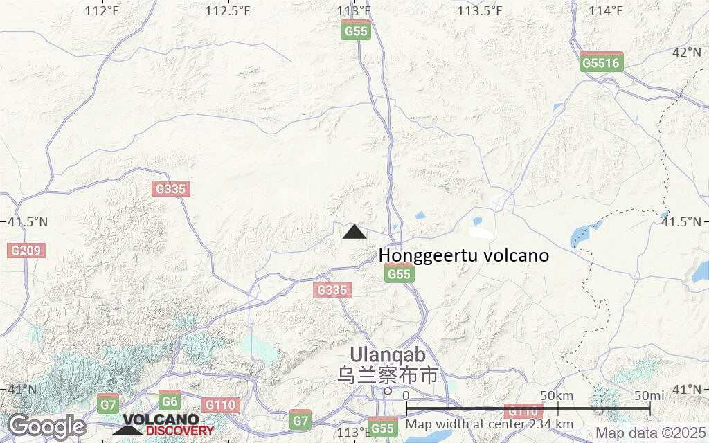
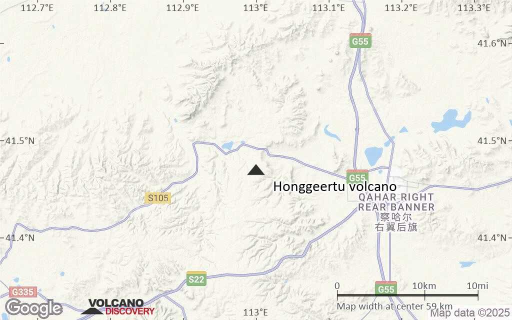
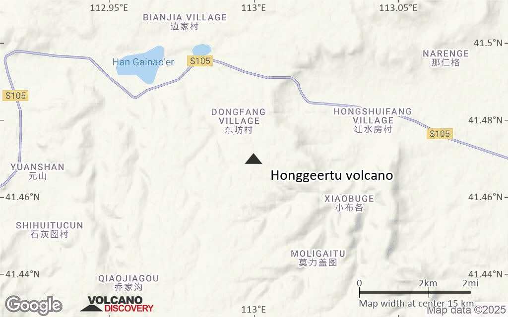
Terrain-type map of Honggeertu volcano (region scale large)
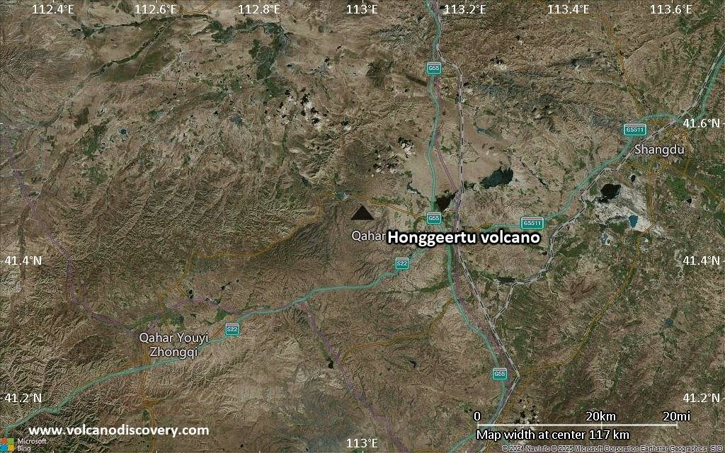
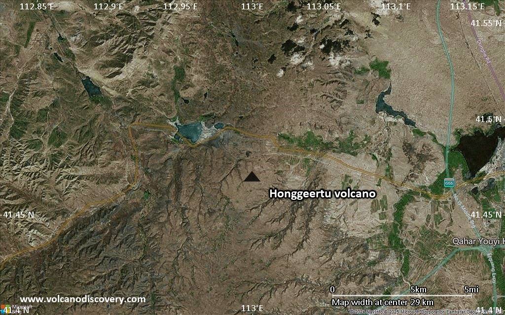
Satellite/aerial-type map of Honggeertu volcano (region scale medium)
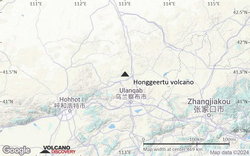
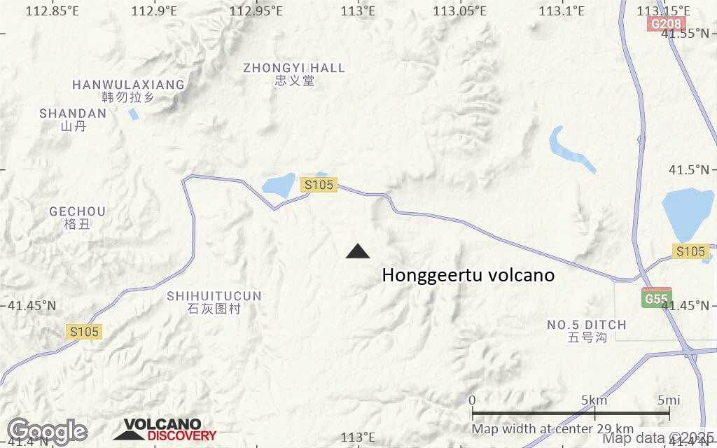
Terrain-type map of Honggeertu volcano (region scale medium)
Satellite/aerial-type map of Honggeertu volcano (region scale small)
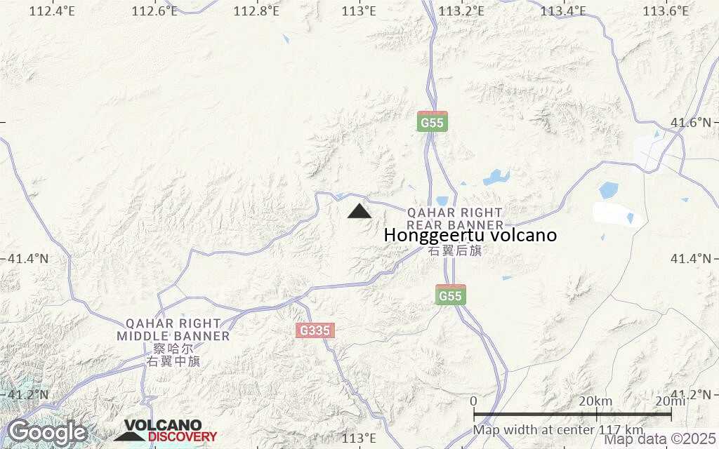
Terrain-type map of Honggeertu volcano (region scale small)
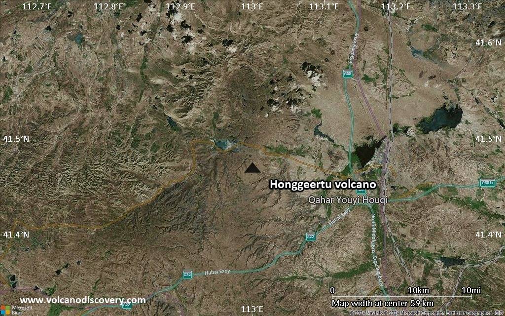
Satellite/aerial-type map of Honggeertu volcano (local scale large)
Terrain-type map of Honggeertu volcano (local scale large)
Satellite/aerial-type map of Honggeertu volcano (local scale medium)
Terrain-type map of Honggeertu volcano (local scale medium)
Satellite/aerial-type map of Honggeertu volcano (local scale small)
Terrain-type map of Honggeertu volcano (local scale small)
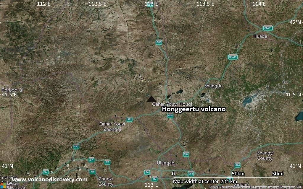
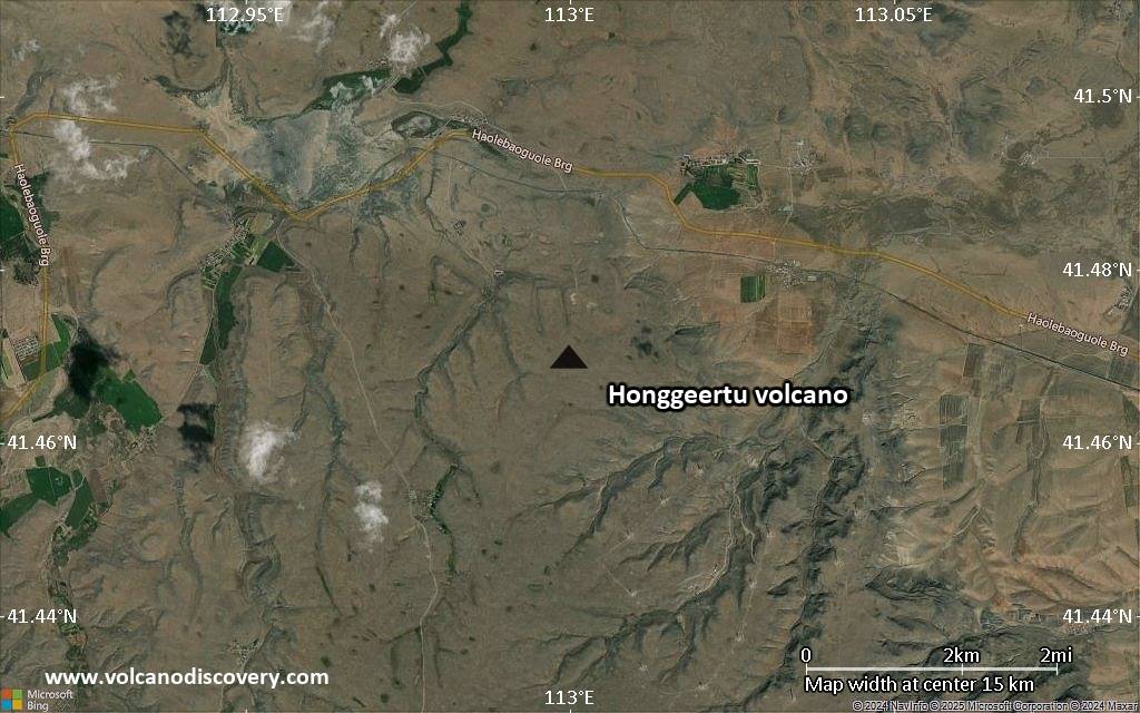
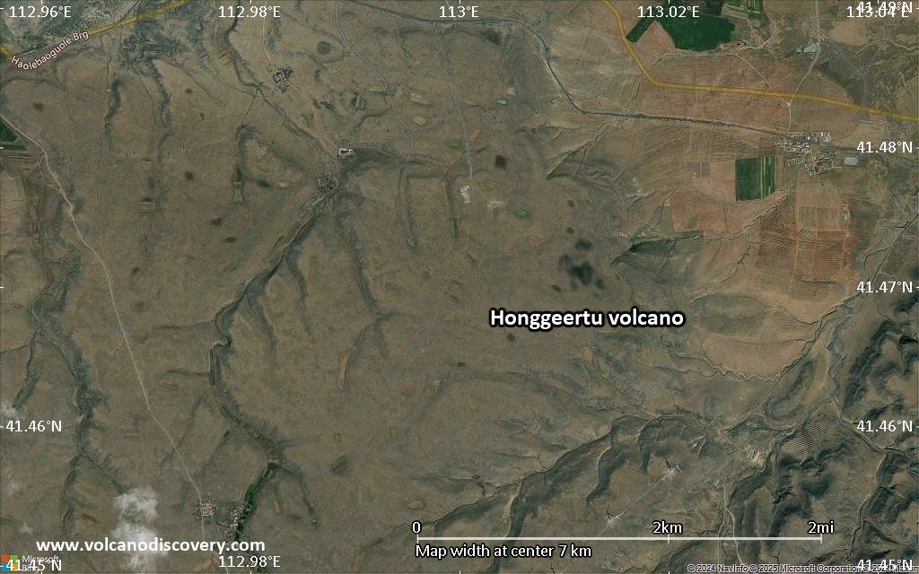
Satellite/aerial-type map of Honggeertu volcano (scale of 10s of km)
Terrain-type map of Honggeertu volcano (scale of 10s of km)
Satellite/aerial-type map of Honggeertu volcano (scale of 20-40 km)
Terrain-type map of Honggeertu volcano (scale of 20-40 km)
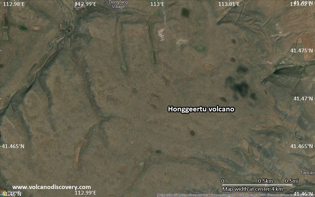
Satellite/aerial-type map of Honggeertu volcano (scale of approx. 10-20 km)
Terrain-type map of Honggeertu volcano (scale of approx. 10-20 km)
Satellite/aerial-type map of Honggeertu volcano (scale of 5-10 km)
Satellite/aerial-type map of Honggeertu volcano (scale of few kilometers)
Volcanoes & Earthquakes - new app for Android
Guaranteed tours
6-19 Apr 2025: Desert, salt and volcanoes - Danakil desert (Ethiopia)
12-19 Apr 2025: Europe's Volcanic Outpost - Canary Islands
9-25 Jun 2025: Volcanoes and Spices - Sulawesi/Halmahera (Indonesia)
27 Jun - 6 Jul 2025: Iceland Volcano Special - Iceland
7-23 Jul 2025: Volcanoes and Spices - Sulawesi/Halmahera (Indonesia)
1-17 Aug 2025: Volcanoes and Spices - Sulawesi/Halmahera (Indonesia)
13-26 Sep 2025: Green Volcanoes - Azores (Portugal)
1-14 Oct 2025: Desert, salt and volcanoes - Danakil desert (Ethiopia)
4-12 Oct 2025: From Stromboli to Etna - Sicily and Eolian Islands (Italy)
= spaces available   = guaranteed   = few spaces left   = booked out

No news in this list.

On this page:

Why is there advertising on this site?
Sources: VolcanoDiscovery / VolcanoAdventures and other sources as noted.
Use of material: Most text and images on our websites are owned by us. Re-use is generally not permitted without authorization. Contact us for licensing rights.
Volcanoes & Earthquakes
VolcanoDiscovery Home
Volcanoes | Earthquakes | Photos | Volcano News | App
Adventure & Study Travel
Tours to Volcanoes and Volcanic Areas: walking tours, photo tours, study tours
Tours & Dates | FAQ | About us
Get our newsletter!
Company info
Contact | Legal info | Terms & conditions
Follow us
Follow us on facebook Follow us on Instagram Follow us on Bluesky Follow us on Twitter Visit our Youtube channel
EN | DE | EL | ES | FR | IT | RU
VolcanoDiscovery GmbH, Germany, Reg. nr.: HRB 103744, EU Tax Id: DE 297 465 123 owned and created by
Dr. Tom Pfeiffer, volcanologist, volcano photographer, tour organizer member of
IAVCEI
IAVCEI
Vulkanologische Gesellschaft
Volcanological Society
Ecotourism Greece
Ecotourism Greece
RUV insurance
Insured by R+V
VolcanoDiscovery © 2004- All Rights Reserved | Privacy - Cookie Settings
Cookie-free, privacy-friendly web stats