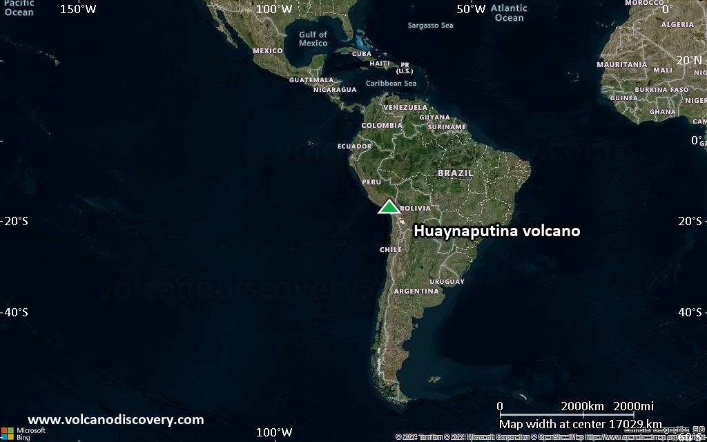
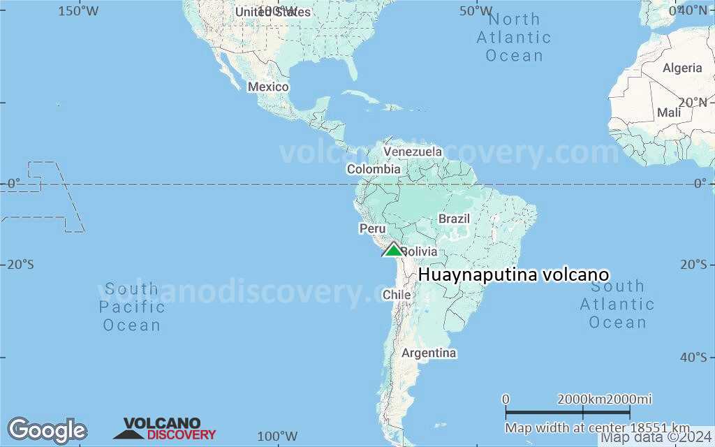
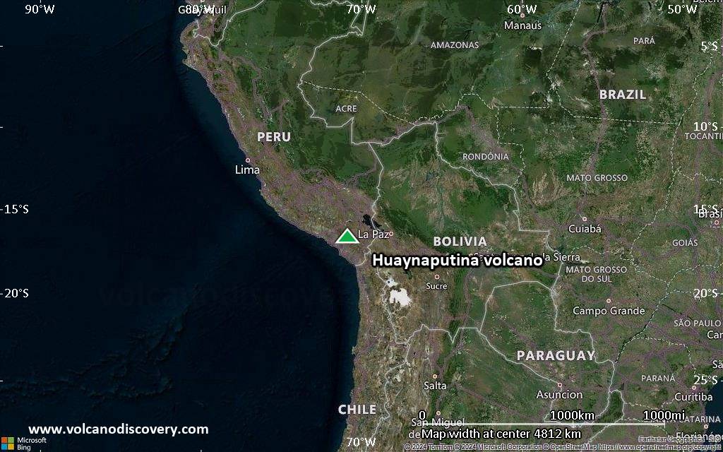
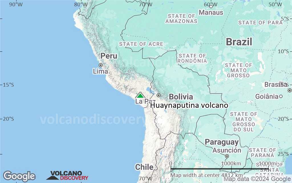
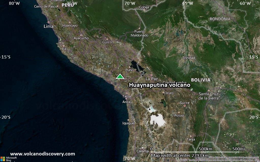
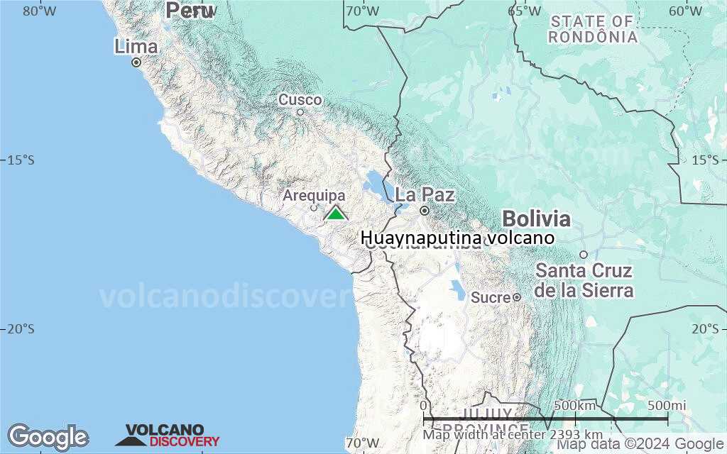
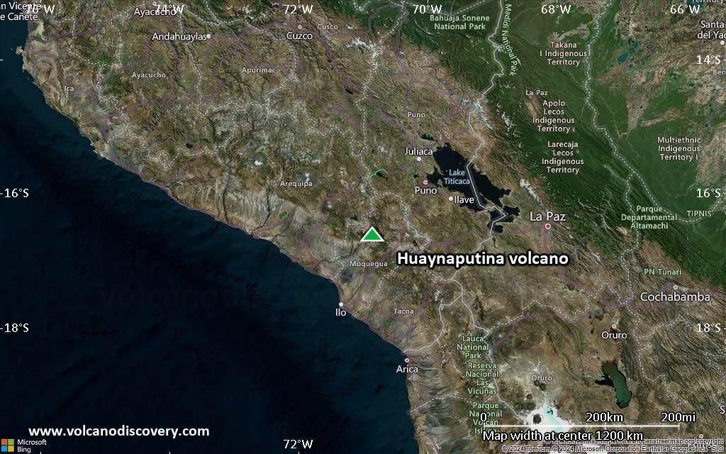
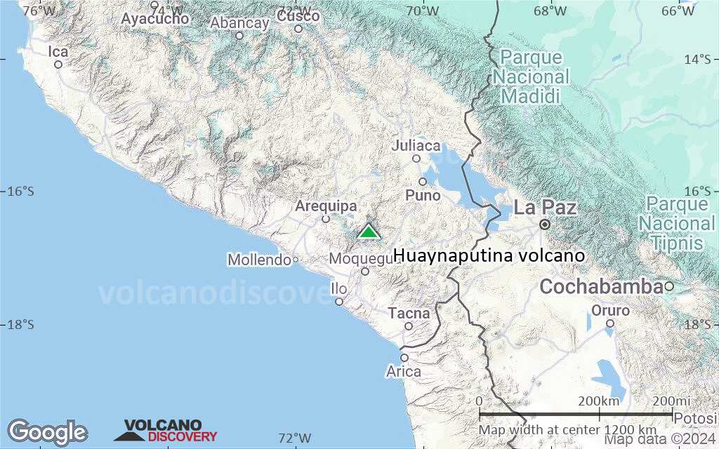
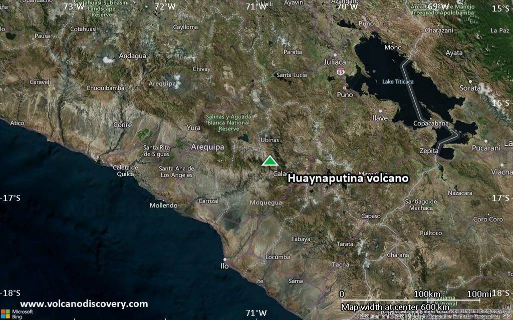
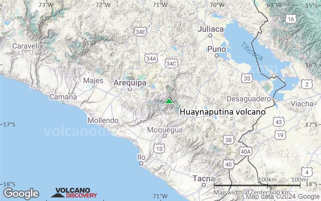
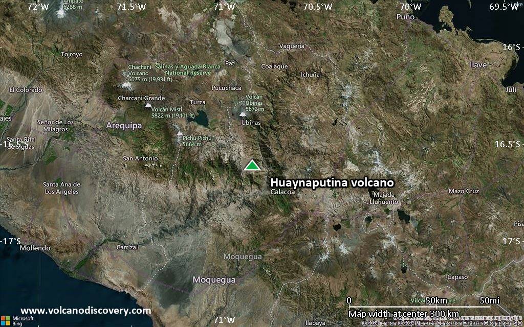
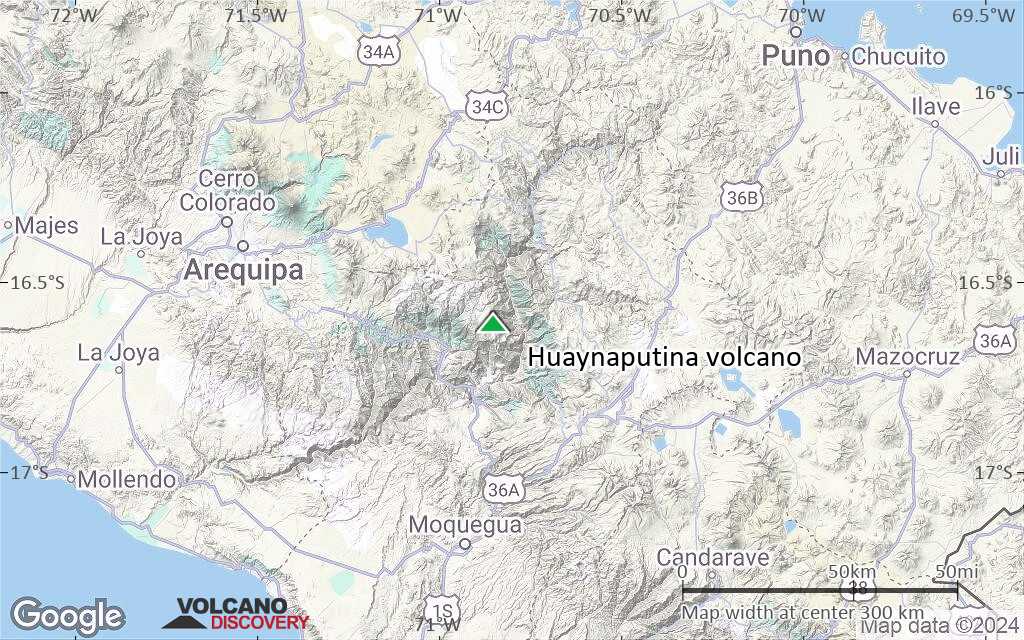
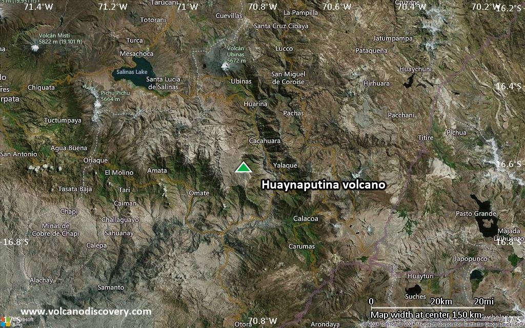
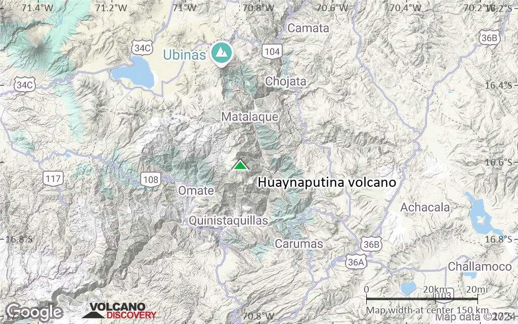
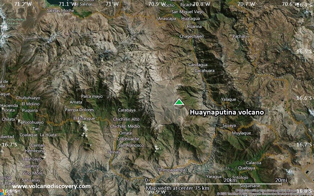
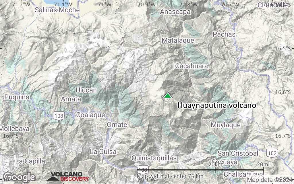
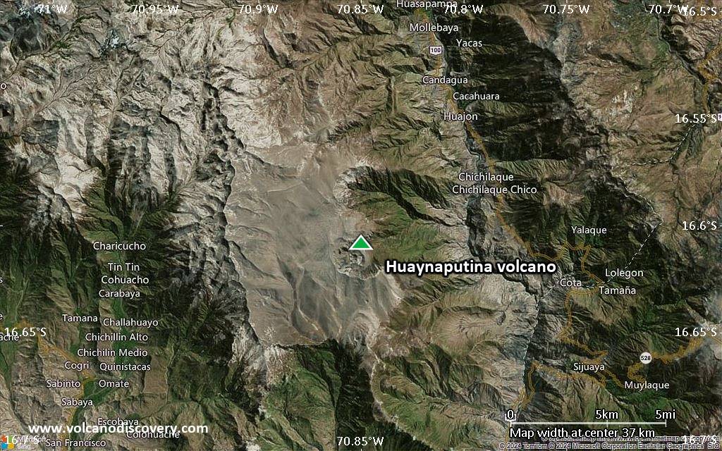
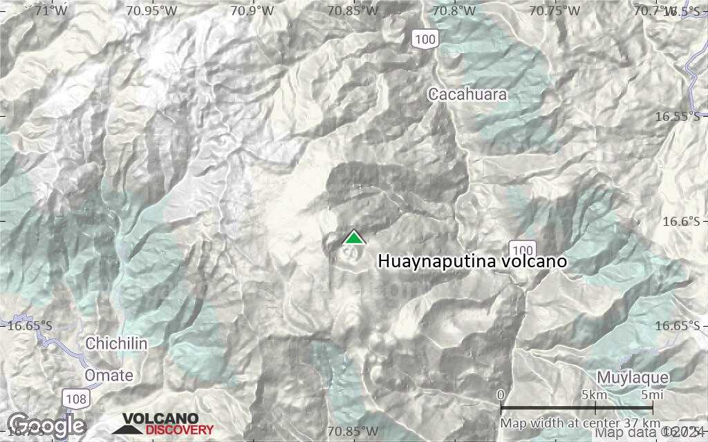
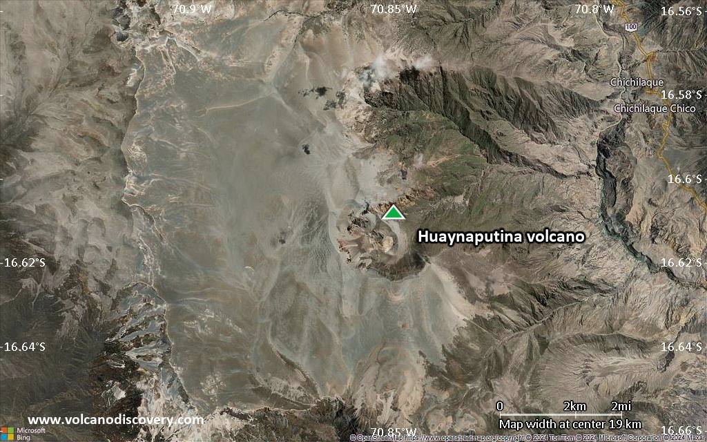
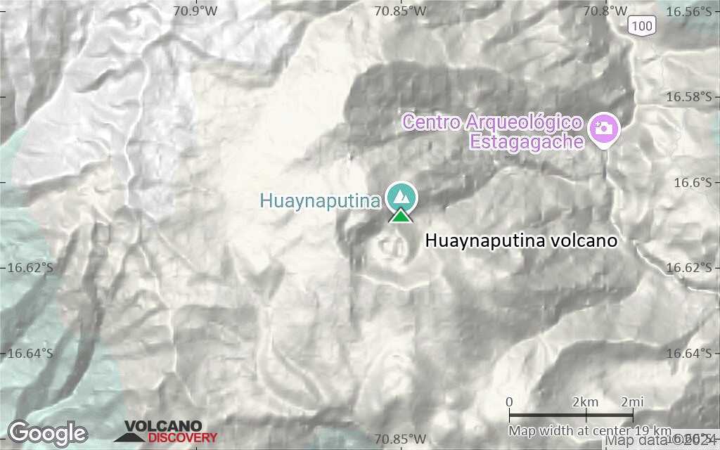
Huaynaputina Volcano
Huaynaputina volcano (its name meaning "new volcano") is a small volcano located in southern Peru 26 km south of Ubinas volcano. It was the site of the largest historical eruption in South America, which occurred in 1600 and erupted an estimated 30 cubic km of dacitic tephra, including ash fall and pyroclastic flow deposits. Its size can be compared to the 1883 Krakatau eruption.
Prior to the 1600 eruption, it had not even been known as a volcano and was described as a "low ridge in the center of a Sierra".
Huaynaputina volcano eruptions: 1600, 7750 BC ± 200 years
Latest nearby earthquakes
| Date and Time | Mag / Depth | Distance / Location | |||
|---|---|---|---|---|---|
Background
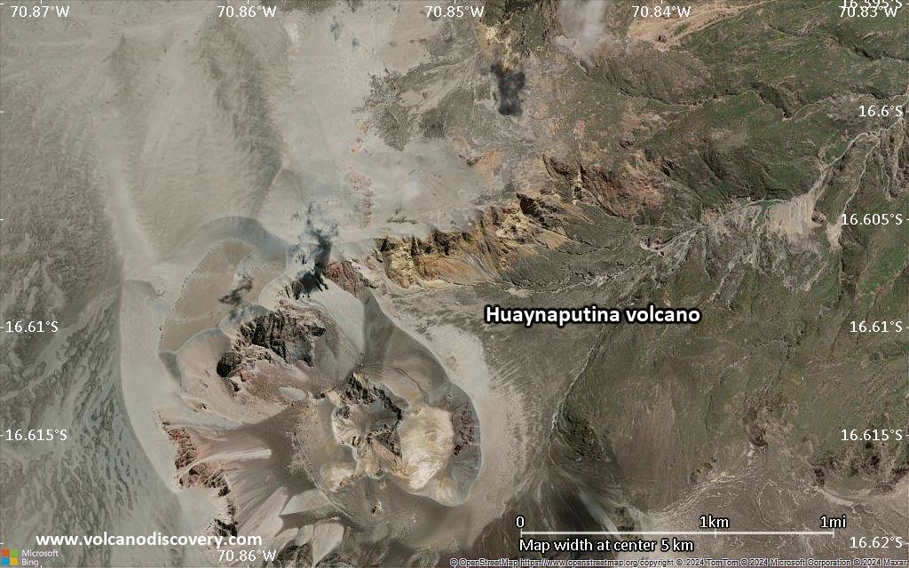
Huaynaputina volcano does not form a prominent topographic elevation. It is located inside a 2.5 km wide older caldera that was deepened by glacial erosion. The volcano consists of 3 overlapping cinder cones containing up to 100 m deep craters. These cones formed during the 1600 AD eruption. The flanks of the older edifice are deeply covered by ash deposits from the same eruption.Significant volcanic eruptions: Huaynaputina volcano
| Date | Note | VEI | Deaths | Damage | |
|---|---|---|---|---|---|
| Summit and south flank Historical obs./docs. | 6 | ||||
| 1600 AD Feb 19 (eruption | Historical obs./docs. | 6 | 1,500 | Info | |
| ? | |||||
Eruptions of Huaynaputina volcano
The eruption of Huaynaputina volcano in 1600 AD was the largest historically recorded eruption in South America and one of the largest in the world during the past 2000 years. It erupted up to 30 cu km of tephra (or ca. 12 km3 of magma) (VEI 6) and is comparable to the Plinian eruption of Krakatau in 1883. The pumice and ash layer from the eruption covers an area of 360,000 km2.
This powerful eruption was fed by fissures and produced pyroclastic flows and surges that traveled 13 km to the east and SE. Hot mud flows (lahars) reached the Pacific Ocean, 120 km away. ...more info
Huaynaputina Volcano FAQ
+When was the last eruption of Huaynaputina volcano?
The last confirmed eruption of Huaynaputina occurred in 1600 AD.
+How often does Huaynaputina volcano erupt?
Since 1600 AD, Huaynaputina volcano has had at least 1 historically documented eruptions. This means that it erupts on average every 425 years.
+When was the largest eruption of Huaynaputina volcano?
The largest eruption of Huaynaputina volcano in historic times occurred in 1600 AD. It ranks as a plinian eruption with a magnitude 6 on the VEI (Volcanic Explosivity Index) scale. Eruption of this size are often catastrophic on a regional scale.
Latest satellite images
Huaynaputina Volcano Maps