


Isarog Volcano
Updated: Sep 2, 2025 05:44 GMT -
stratovolcano
Luzon Island (Philippines), 13.66°N / 123.38°E 
Summit height: 1966 m / 6,450 ft
Current status: normal or dormant (1 out of 5)
Isarog volcano is an andesitic stratovolcano of Naga city, in SE Luzon, Philippines. It is part of the Bicol volcanic chain, and could still be active although no historic eruptions are known. The volcano has active fumaroles, steam vents and hot springs.
[smaller] [larger]
Isarog volcano eruptions: unknown
Latest nearby earthquakes
| Date and Time | Mag / Depth | Distance / Location | |||
|---|---|---|---|---|---|
| Aug 31, 10:26 pm (Universal Time) | 1.5 32 km | 25 km (15 mi) to the SE | Info | ||
| Sunday, August 24, 2025 GMT (1 quake) | |||||
| Aug 24, 12:01 pm (Universal Time) | 1.8 32 km | 21 km (13 mi) to the SE | Info | ||
| Tuesday, August 19, 2025 GMT (1 quake) | |||||
| Aug 19, 08:05 pm (Universal Time) | 1.8 26 km | 26 km (16 mi) to the W | Info | ||
Background
Isarog volcano forms the broad isthmus between Lagonoy Gulf and San Miguel Bay. The volcano is truncated by a 2.5-km-wide crater breached to the east where is drained by the narrow gorge of the Quinarag River.Significant volcanic eruptions: Isarog volcano
No historic eruptions are known from Isarog volcano, but at least one eruption around 3500 BC can be inferred from geological evidence.
The table below lists all known eruptions (date in bold face) of Isarog volcano in historic times and during the past 10,000 years. Updates on the most recent volcanic activity of Isarog can be found on the news page of Isarog volcano.
| Date | Note | VEI | Deaths | Damage | |
|---|---|---|---|---|---|
| ? | |||||
Remark:
Our list of volcanic eruptions closely follows the database of eruptions of the Smithsonian's Global Volcanism Project (GVP), the internationally most recognized data source for volcanic eruptions, but also includes significant eruptive episodes or related volcano events. "Volcanic eruptions" are usually to be understood as sequences of individual eruptive episodes that can follow each other, or even overlap (if several vents are involved), and can last many years, decades or even longer. For example, the current activity of Stromboli volcano is understood as a single eruption that has been ongoing since 1934.
Sources: NOAA National Centers for Environmental Information (NCEI), Global Significant Volcanic Eruptions Database. doi:10.7289/V5TD9V7K | Global Volcanism Project / Smithsonian Institution
Eruptions of Isarog volcano
1915-16 earthquakes & seismic unrest
On 8 November, 1915, frequent earthquakes were felt on and around Isarog volcano, with some occasional noises. Landslides occurred on the slopes of Isarog volcano. The seismic swarm repeated itself 2 or 3 times at long
intervals until 10 January, 1916. The volcano was thickly wooded, even inside of the crater, and nobody observed any fumaroles.
---
Source: "Awakening of two old volcanoes in Luzon, Philippine Idands." Bulletin of the Seismological Society of America; December 1916; v. 6; no. 4; p. 236-240
Isarog Volcano FAQ
+When was the last eruption of Isarog volcano?
The last confirmed eruption of Isarog occurred around 3500 BC.
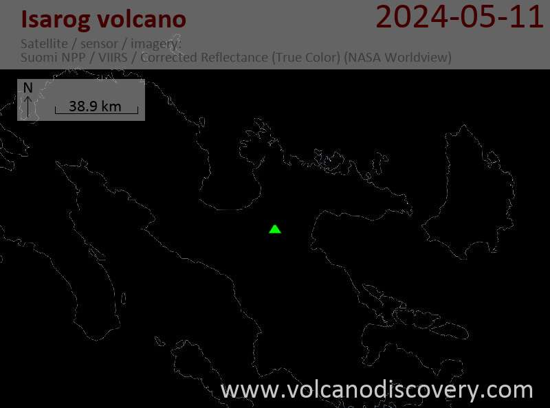
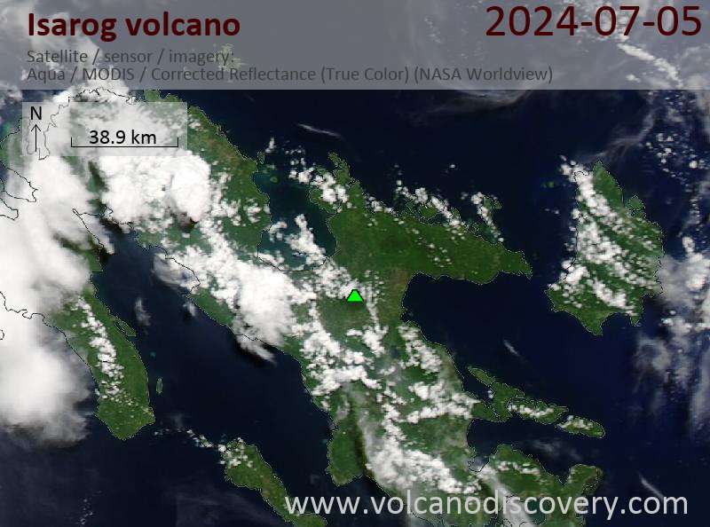
Latest satellite images
Isarog Volcano Maps
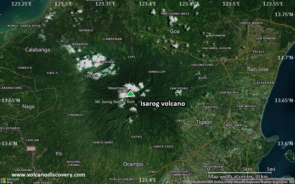
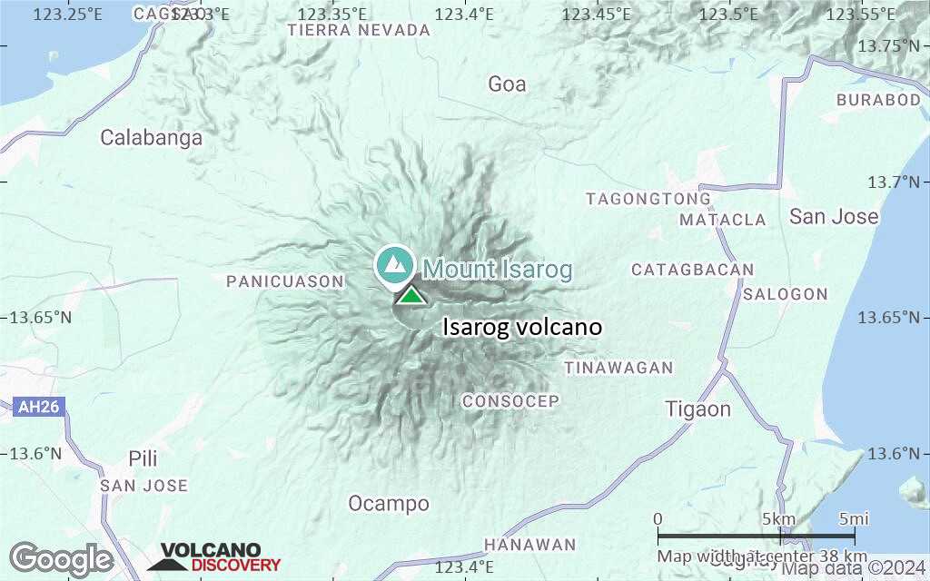
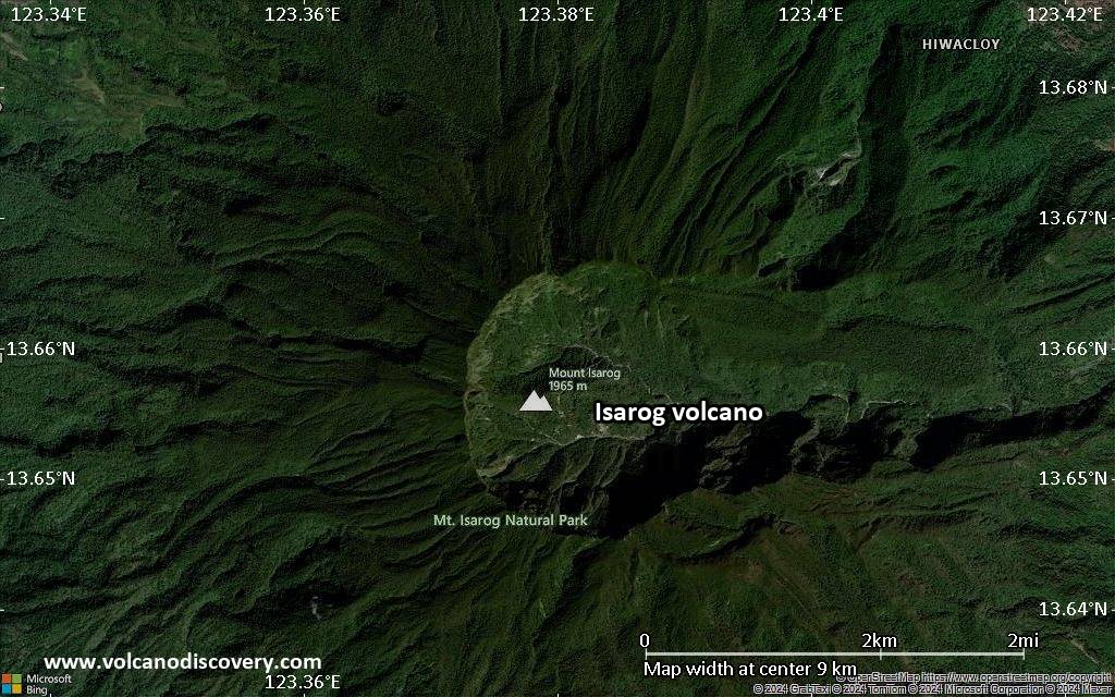
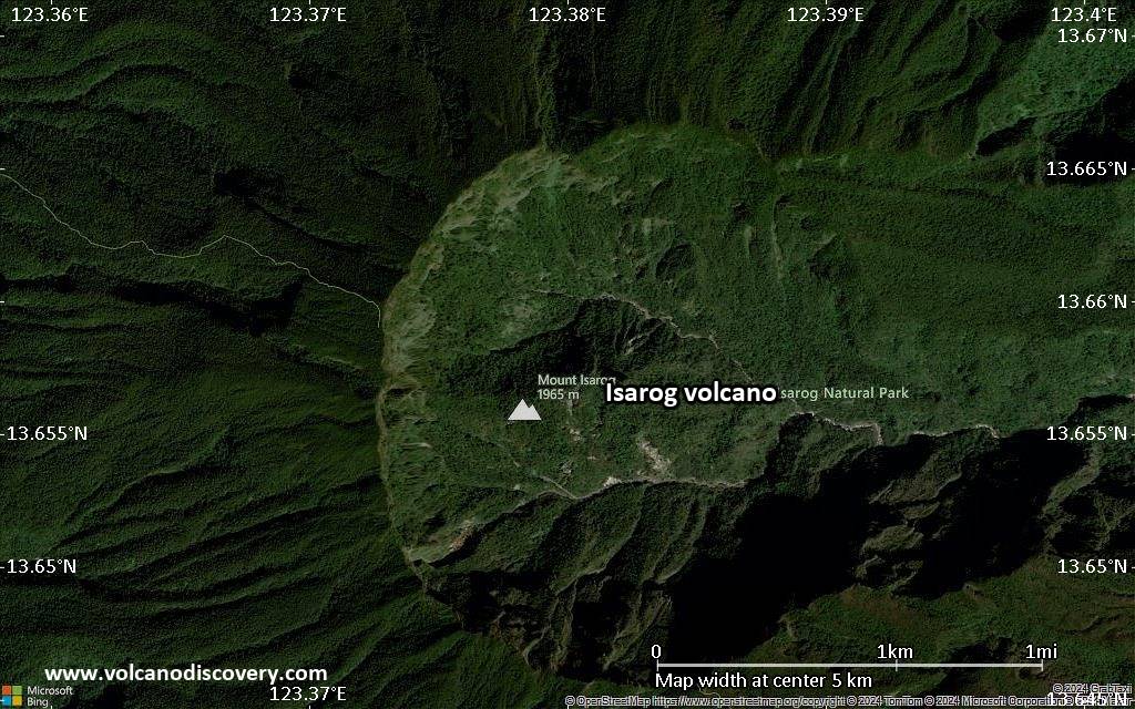
Below is a selection of maps showing the location and surroundings of the volcano at various resolutions based on aerial-imagery / terrain maps. Feel free to use them for non-commercial purposes on your blog or website as long as you credit them with a link back to this page (click to copy it).
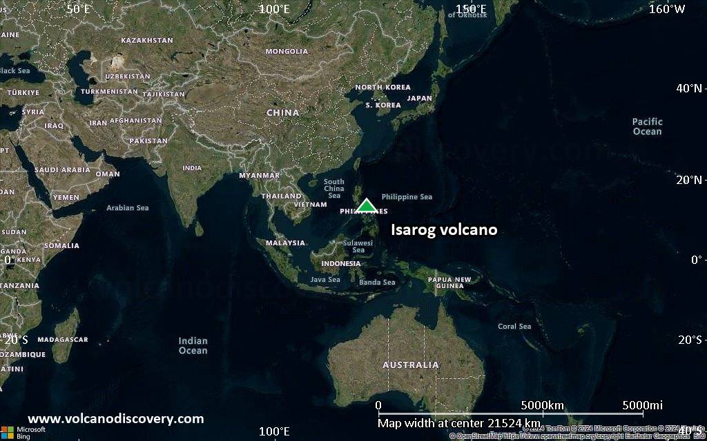
Satellite/aerial-type map of Isarog volcano (world scale)
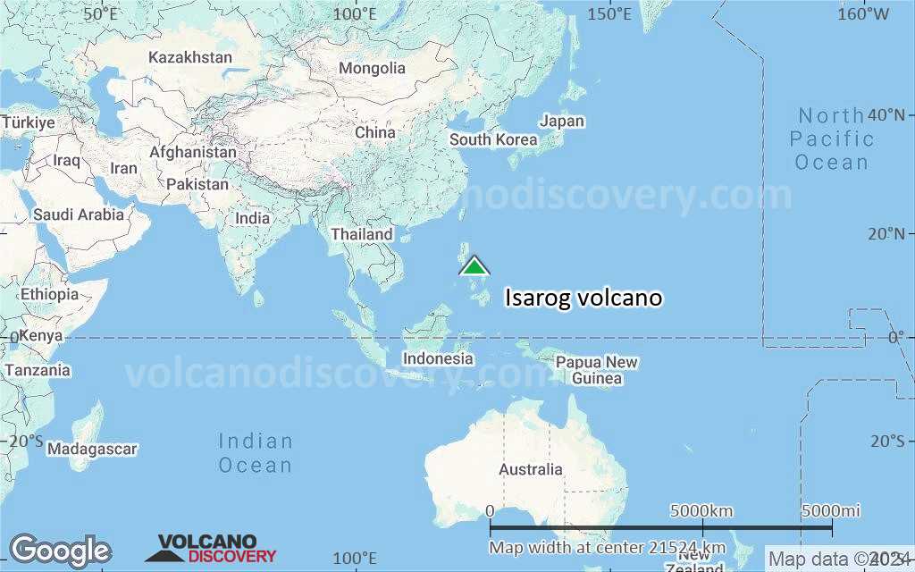
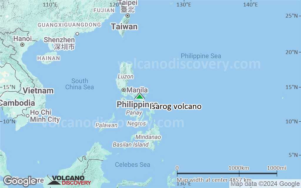
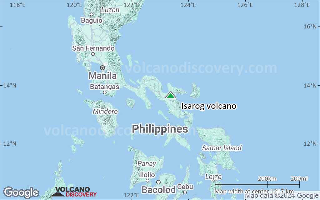
Terrain-type map of Isarog volcano (world scale)
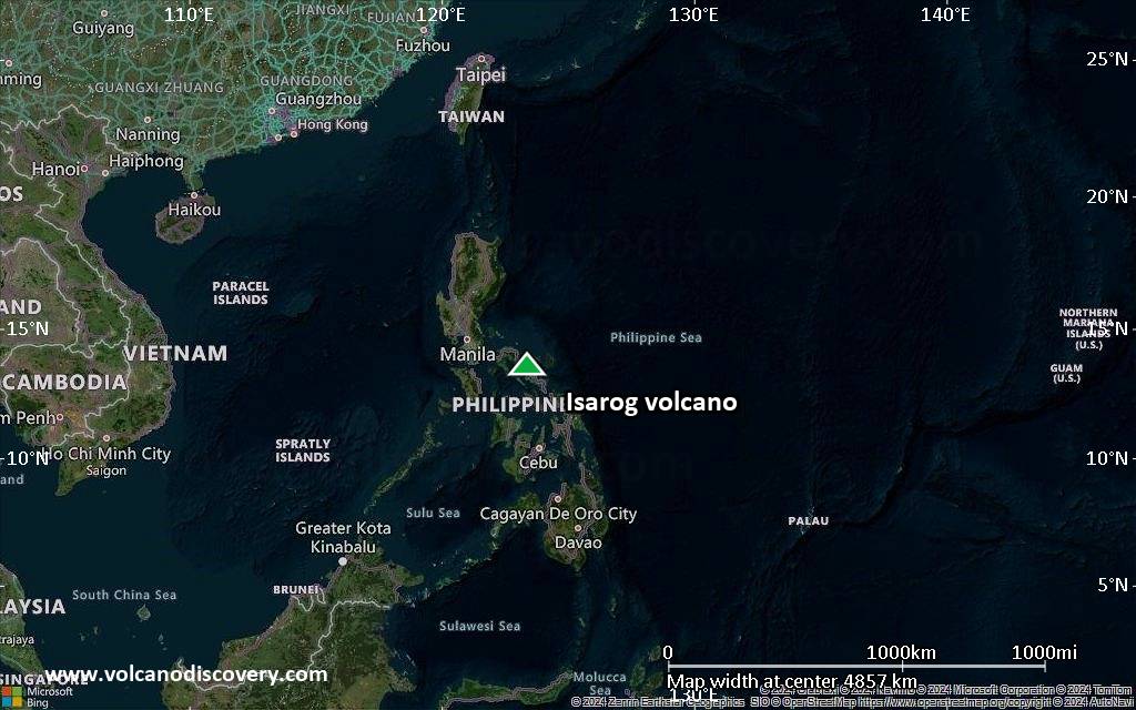
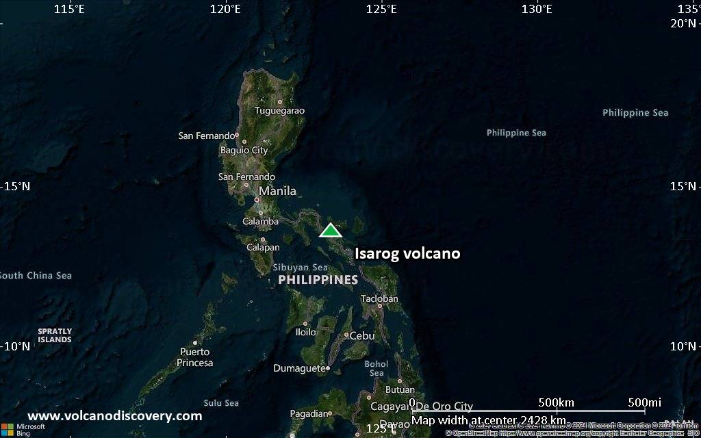
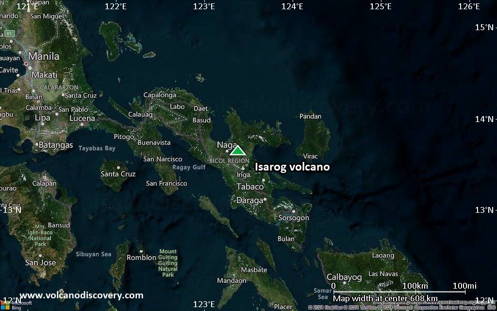
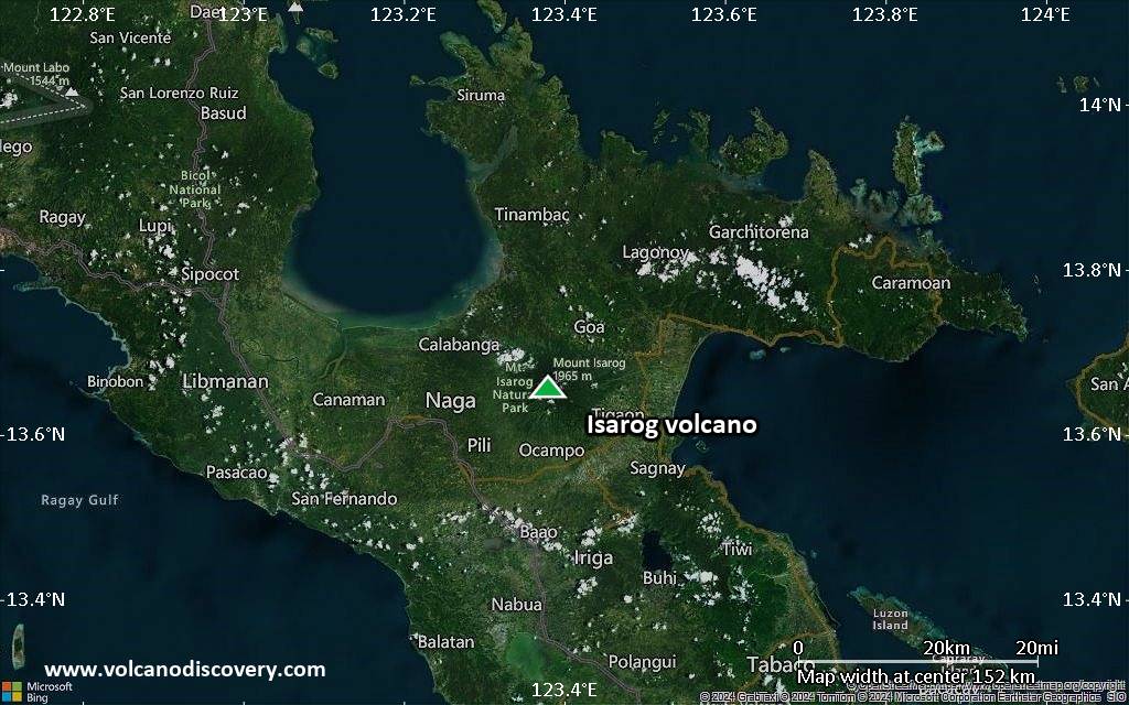
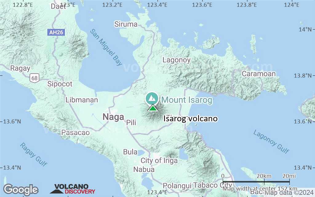
Satellite/aerial-type map of Isarog volcano (region scale large)
Terrain-type map of Isarog volcano (region scale large)
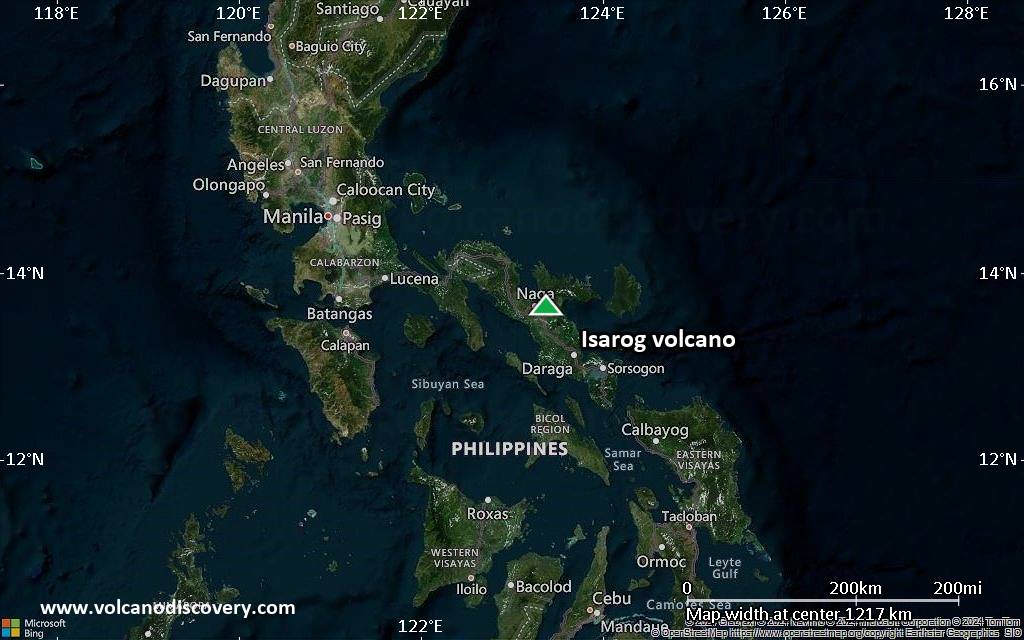
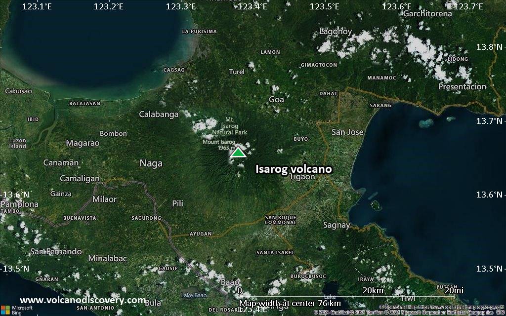
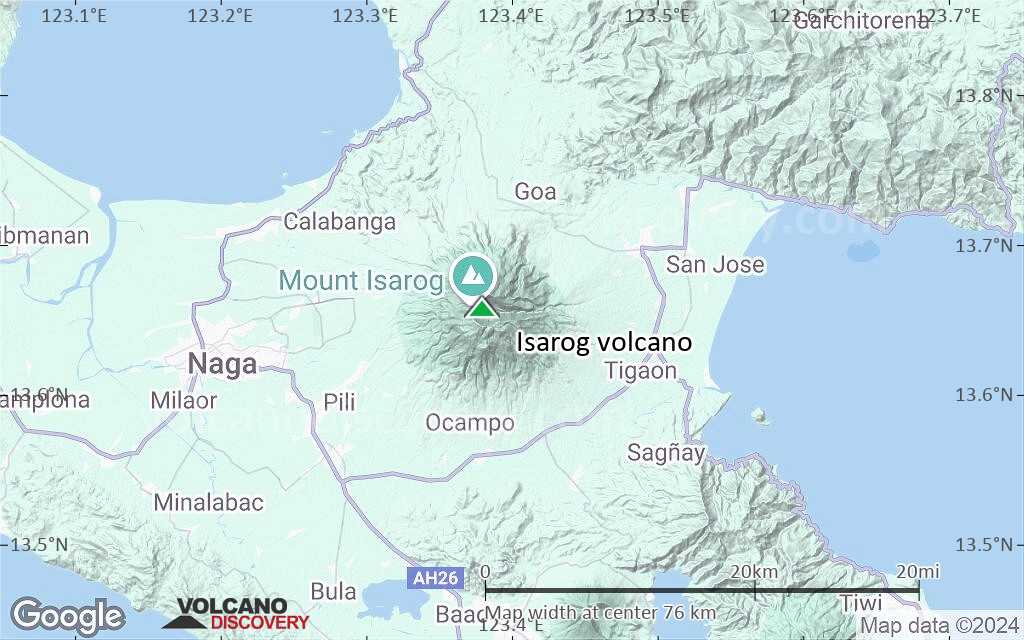
Satellite/aerial-type map of Isarog volcano (region scale medium)

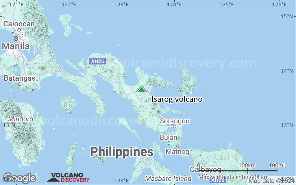
Terrain-type map of Isarog volcano (region scale medium)
Satellite/aerial-type map of Isarog volcano (region scale small)
Terrain-type map of Isarog volcano (region scale small)
Satellite/aerial-type map of Isarog volcano (local scale large)
Terrain-type map of Isarog volcano (local scale large)

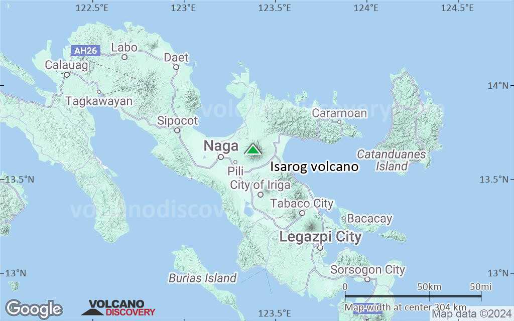
Satellite/aerial-type map of Isarog volcano (local scale medium)
Terrain-type map of Isarog volcano (local scale medium)
Satellite/aerial-type map of Isarog volcano (local scale small)
Terrain-type map of Isarog volcano (local scale small)
Satellite/aerial-type map of Isarog volcano (scale of 10s of km)
Terrain-type map of Isarog volcano (scale of 10s of km)
Satellite/aerial-type map of Isarog volcano (scale of 20-40 km)
Terrain-type map of Isarog volcano (scale of 20-40 km)

Satellite/aerial-type map of Isarog volcano (scale of approx. 10-20 km)

Terrain-type map of Isarog volcano (scale of approx. 10-20 km)
Satellite/aerial-type map of Isarog volcano (scale of 5-10 km)
Satellite/aerial-type map of Isarog volcano (scale of few kilometers)


