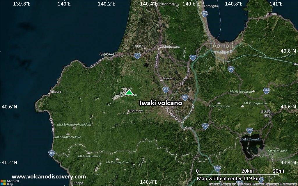
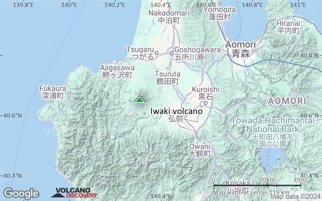
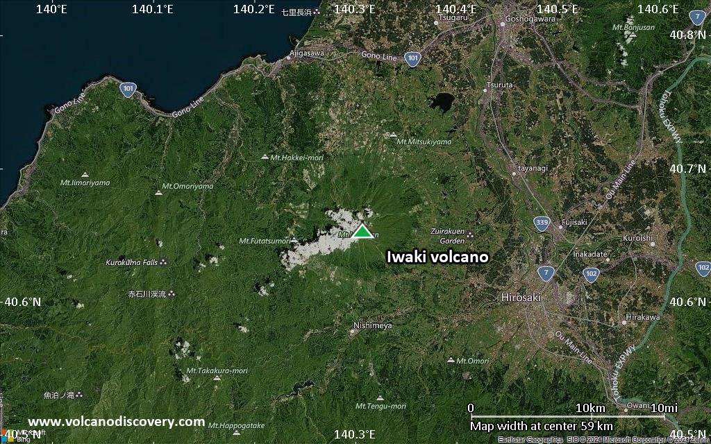
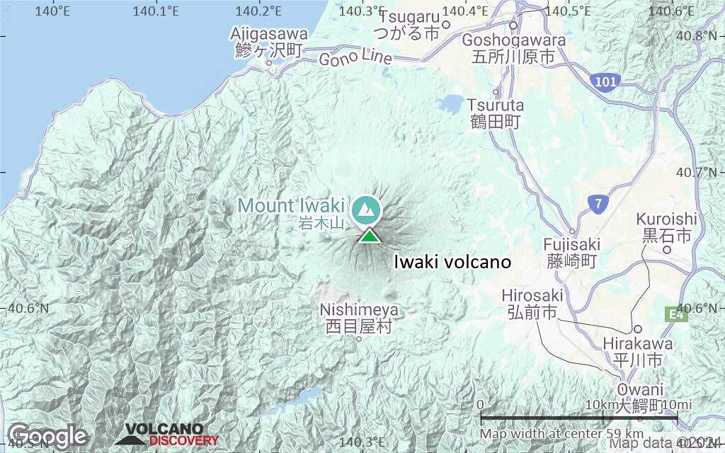
| RSS | EN | DE | EL | ES | FR | IT | RU

Iwaki Volcano

Updated: Jul 5, 2025 20:09 GMT -
stratovolcano
Honshu (Japan), 40.65°N / 140.31°E
Summit height: 1625 m / 5,331 ft
Current status: normal or dormant (1 out of 5)

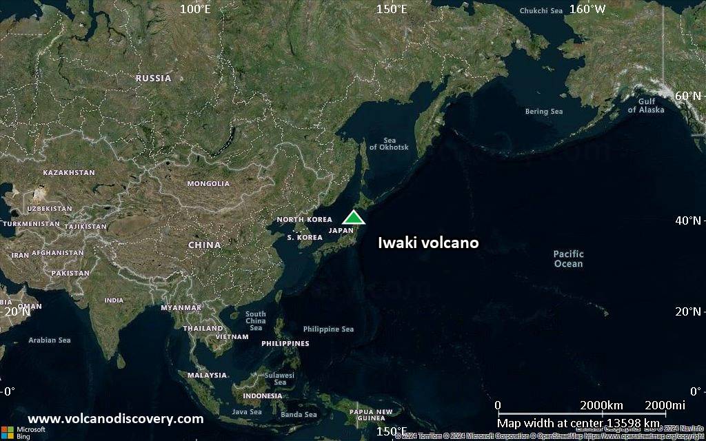
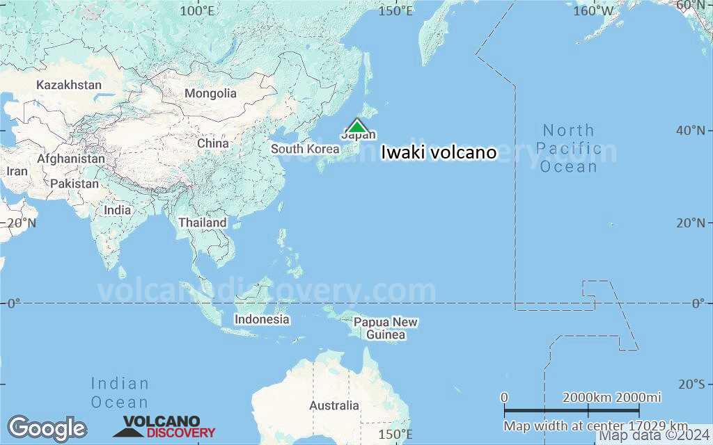
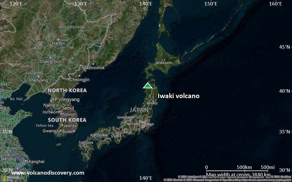
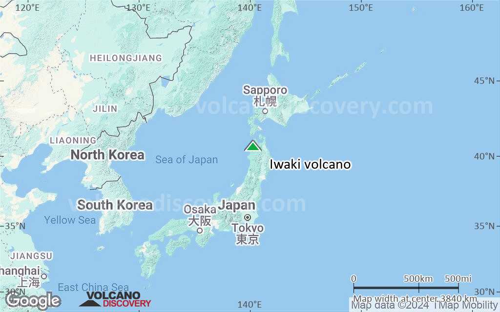
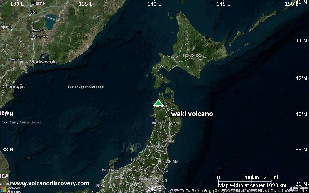
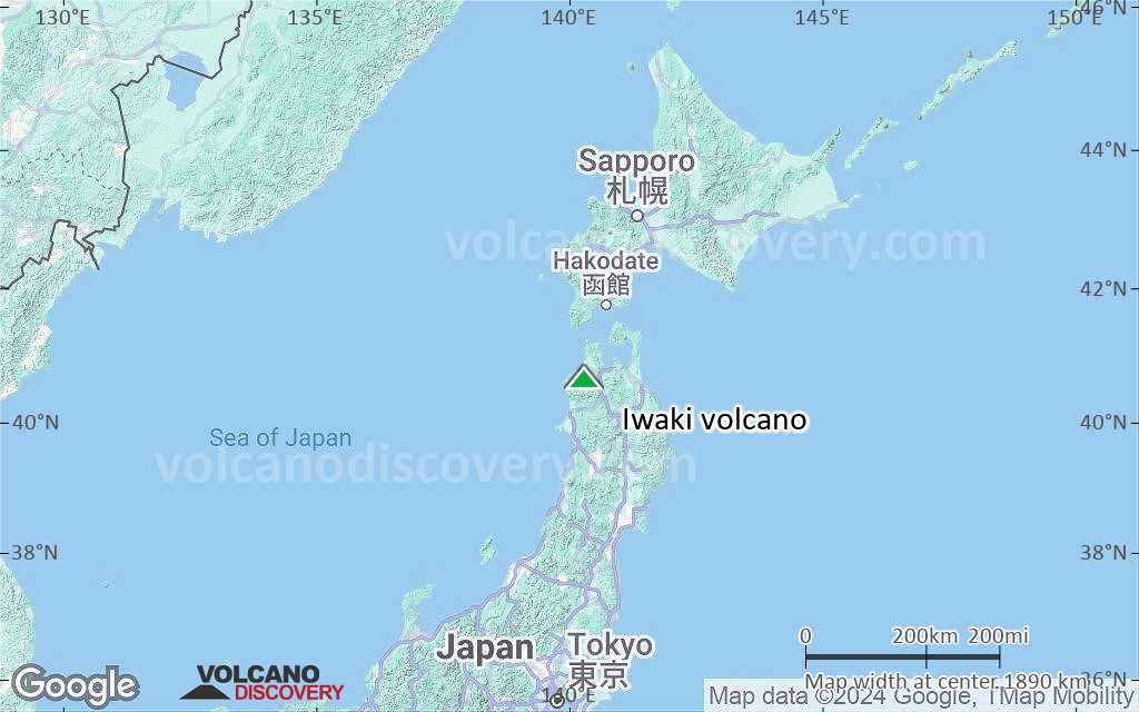
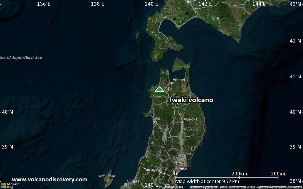
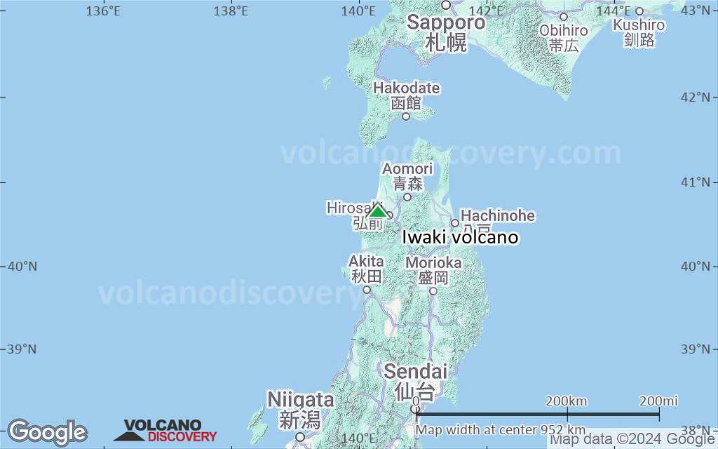
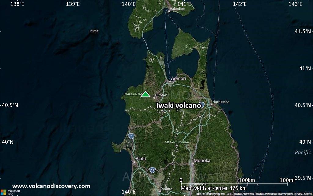
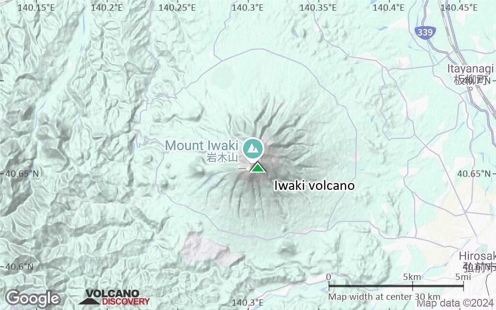
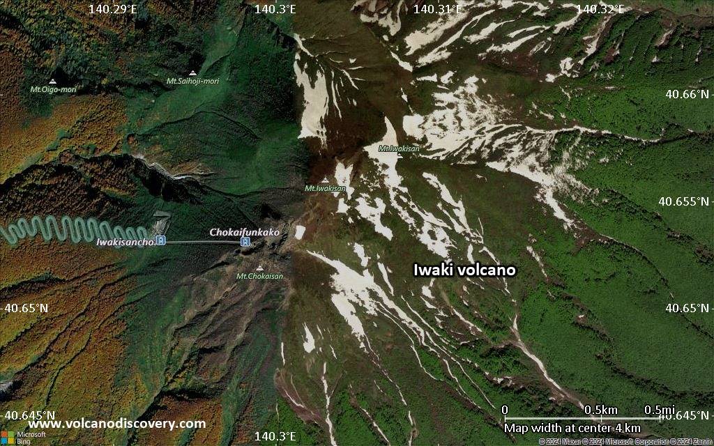
Iwaki (or Iwakisan) volcano is a large symmetrical stratovolcano and the NW-most active volcano in Honshu, Japan. Because of its shape, it has been called the Fuji-san of the Tsugaru district.
Iwaki contains a 2-km-wide summit crater which is filled by a lava dome flanked by 6explosion craters. 3 lava domes are found on the western and southern flanks of the andesitic volcano. Historical eruptions have been reported at Iwaki since 1600 AD and have consisted primarily of small-to-moderate phreatic explosions.

[smaller] [larger]
Typical eruption style: explosive
Iwaki volcano eruptions: 1863, 1856 (?), 1848 (?), 1845, 1844, 1833 (?), 1807 (?), 1800, 1794 (?), 1793 (?), 1790, 1783 (?), 1782-83, 1782 (?), 1769?, 1709 (?), 1694 (?), 1672 (?), 1618, 1605 (?), 1604, 1600, 1600, 1597 (?), 1597 (?), 550 BC ± 500, 1050 BC (?), 4050 BC (?), 8050 BC (?)

Latest nearby earthquakes

Date and TimeMag / DepthDistance / Location
Jul 5, 02:06 am (GMT +9)
1.1

12 km
14 km (8.9 mi) to the E Japan: Western Aomori Pref Info
Thursday, July 3, 2025 GMT (1 quake)
Jul 3, 10:31 am (GMT +9)
0.2

7.7 km
17 km (10.5 mi) to the SE Japan: Western Aomori Pref Info
Wednesday, July 2, 2025 GMT (2 quakes)
Jul 3, 05:17 am (GMT +9)
0.1

6.7 km
30 km (18 mi) to the S Japan: Northern Akita Pref Info
Jul 3, 05:02 am (GMT +9)
0.6

8.1 km
22 km (14 mi) to the S Japan: Western Aomori Pref Info
Tuesday, July 1, 2025 GMT (1 quake)
Jul 1, 10:14 pm (GMT +9)
1.1

8 km
23 km (14 mi) to the S Japan: Western Aomori Pref Info
Monday, June 30, 2025 GMT (1 quake)
Jul 1, 01:26 am (GMT +9)
0.9

14 km
15 km (9.2 mi) to the E Japan: Western Aomori Pref Info
Sunday, June 29, 2025 GMT (2 quakes)
Jun 30, 02:57 am (GMT +9)
0.3

7.8 km
6.5 km (4 mi) to the SE Japan: Western Aomori Pref Info
Jun 29, 09:05 pm (GMT +9)
1.2

9.1 km
23 km (14 mi) to the S Japan: Western Aomori Pref Info
Monday, June 23, 2025 GMT (2 quakes)
Jun 24, 01:04 am (GMT +9)
0.7

8.7 km
23 km (14 mi) to the S Western Aomori Pref Info

Significant volcanic eruptions: Iwaki volcano

In the past 10,000 years, Iwaki has had at least 13 confirmed volcanic eruptions, out of which 9 are documented by historical records, while the others can be inferred from geological evidence.
Additionally, there are 16 uncertain or discredited eruptions from Iwaki volcano.
The table below lists all known eruptions (date in bold face) of Iwaki volcano since around 1000 AD. Updates on the most recent volcanic activity of Iwaki can be found on the news page of Iwaki volcano.
DateNoteVEIDeathsDamage
1863 Mar 23
Historical obs./docs.
1
?? 1856 May 20
Uncertain Eruption
2
?? 1848 Jan 18
Uncertain Eruption
2
1845 Apr 4
Historical obs./docs.
2
1844 Apr 7Summit and south flank?
Historical obs./docs.
2
?? 1833 Apr 11
Uncertain Eruption
2
?? 1807 Mar 31
Uncertain Eruption
2
?? 1800 May 11
Uncertain Eruption
2
?? 1794 Apr 3
Uncertain Eruption
2
?? 1793 Apr 2
Uncertain Eruption
2
1790 Oct 9
Historical obs./docs.
2
?? 1783 Dec 3
Uncertain Eruption
2?
1782 Dec 1 ±30 d. - 1783 Mar 12
Historical obs./docs.
2
?? 1782 Apr 12
Uncertain Eruption
2
?? 1769
Uncertain Eruption
2
?? 1709 Apr 23
Uncertain Eruption
2?
?? 1694 AD Jun 19
Uncertain Eruption
2?
?? 1672 AD Jul 12 - Jul 28
Uncertain Eruption
2?
1618 AD Jan 31
Historical obs./docs.
2
?? 1605 AD Apr 10
Uncertain Eruption
2?
1604 AD Feb 7Torinoumi
Historical obs./docs.
3?
1600 AD Jul 23 - Jul 25Torinoumi
Historical obs./docs.
2
1600 AD Feb 22Torinoumi
Historical obs./docs.
2
?? 1597 AD Jun 13
Uncertain Eruption
2
?? 1597 AD Jan
Uncertain Eruption
2
Remark:
Our list of volcanic eruptions closely follows the database of eruptions of the Smithsonian's Global Volcanism Project (GVP), the internationally most recognized data source for volcanic eruptions, but also includes significant eruptive episodes or related volcano events. "Volcanic eruptions" are usually to be understood as sequences of individual eruptive episodes that can follow each other, or even overlap (if several vents are involved), and can last many years, decades or even longer. For example, the current activity of Stromboli volcano is understood as a single eruption that has been ongoing since 1934.
Sources: NOAA National Centers for Environmental Information (NCEI), Global Significant Volcanic Eruptions Database. doi:10.7289/V5TD9V7K | Global Volcanism Project / Smithsonian Institution

Iwaki Volcano FAQ

+When was the last eruption of Iwaki volcano?

+How often does Iwaki volcano erupt?

+When was the largest eruption of Iwaki volcano?

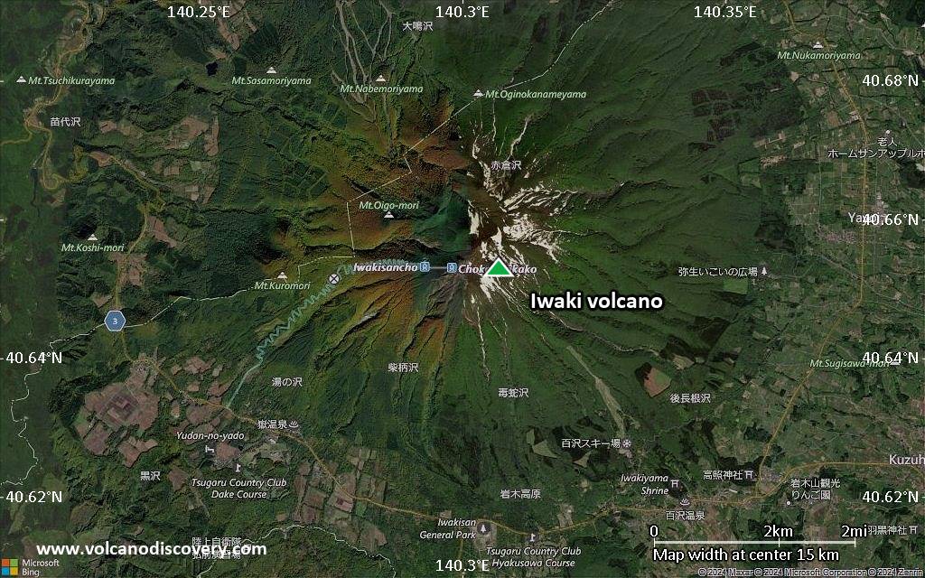
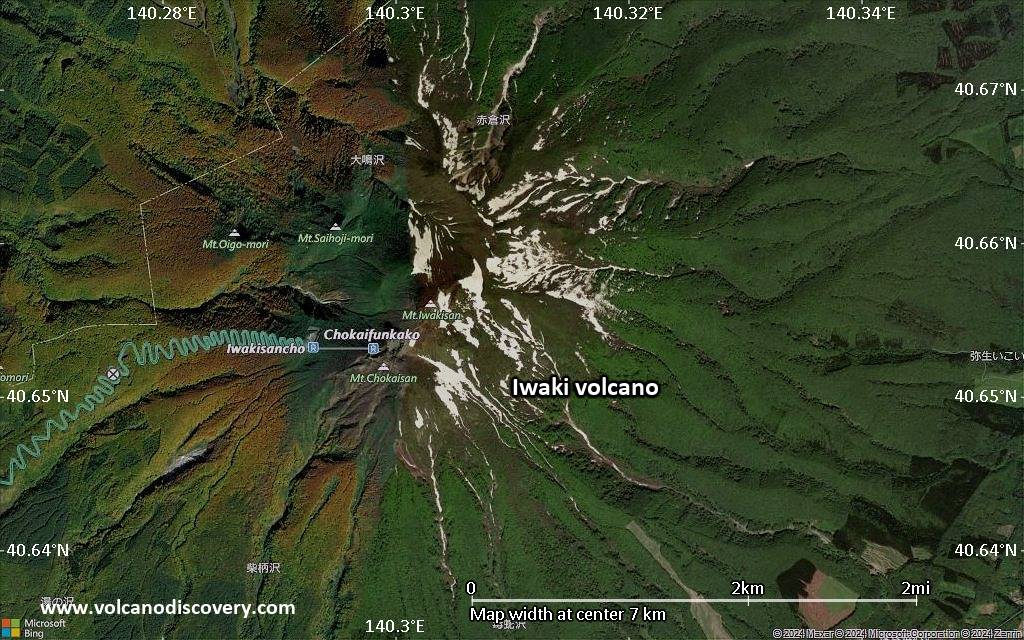
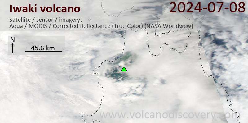
Latest satellite images
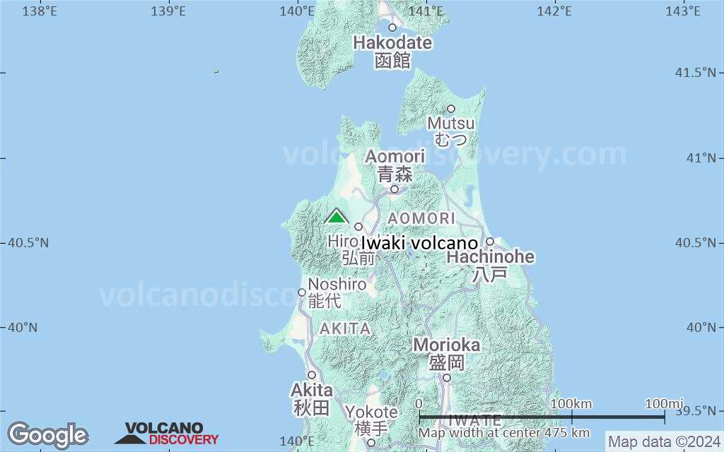
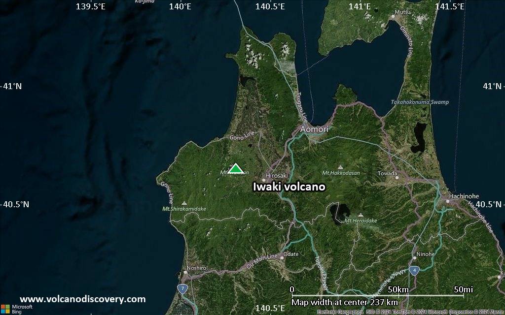
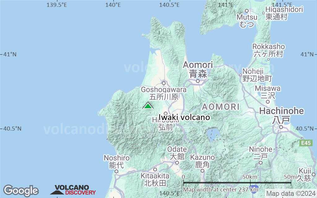
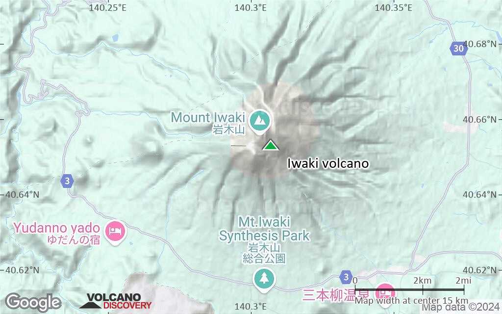
Iwaki satellite image sat1Iwaki satellite image sat2

Iwaki Volcano Maps

Below is a selection of maps showing the location and surroundings of the volcano at various resolutions based on aerial-imagery / terrain maps. Feel free to use them for non-commercial purposes on your blog or website as long as you credit them with a link back to this page (click to copy it).
Satellite/aerial-type map of Iwaki volcano (world scale)
Terrain-type map of Iwaki volcano (world scale)
Satellite/aerial-type map of Iwaki volcano (region scale large)
Terrain-type map of Iwaki volcano (region scale large)
Satellite/aerial-type map of Iwaki volcano (region scale medium)
Terrain-type map of Iwaki volcano (region scale medium)
Satellite/aerial-type map of Iwaki volcano (region scale small)
Terrain-type map of Iwaki volcano (region scale small)
Satellite/aerial-type map of Iwaki volcano (local scale large)
Terrain-type map of Iwaki volcano (local scale large)
Satellite/aerial-type map of Iwaki volcano (local scale medium)
Terrain-type map of Iwaki volcano (local scale medium)
Satellite/aerial-type map of Iwaki volcano (local scale small)
Terrain-type map of Iwaki volcano (local scale small)
Satellite/aerial-type map of Iwaki volcano (scale of 10s of km)
Terrain-type map of Iwaki volcano (scale of 10s of km)
Satellite/aerial-type map of Iwaki volcano (scale of 20-40 km)
Terrain-type map of Iwaki volcano (scale of 20-40 km)
Satellite/aerial-type map of Iwaki volcano (scale of approx. 10-20 km)
Terrain-type map of Iwaki volcano (scale of approx. 10-20 km)
Satellite/aerial-type map of Iwaki volcano (scale of 5-10 km)
Satellite/aerial-type map of Iwaki volcano (scale of few kilometers)
Volcanoes & Earthquakes - new app for Android
Guaranteed tours
1-17 Aug 2025: Volcanoes and Spices - Sulawesi/Halmahera (Indonesia)
1-14 Oct 2025: Desert, salt and volcanoes - Danakil desert (Ethiopia)
4-12 Oct 2025: From Stromboli to Etna - Sicily and Eolian Islands (Italy)
6-21 Oct 2025: From Krakatau to Bali - Java (Indonesia)
3-19 Nov 2025: Volcanoes and Spices - Sulawesi/Halmahera (Indonesia)
= spaces available   = guaranteed   = few spaces left   = booked out

No news in this list.

On this page:

Try our free app!
Volcanoes & Earthquakes - new app for Android
Android | iOS version

More on VolcanoDiscovery

Why is there advertising on this site?

Support us - Help us upgrade our services!

We truly love working to bring you the latest volcano and earthquake data from around the world. Maintaining our website and our free apps does require, however, considerable time and resources.
We need financing to increase hard- and software capacity as well as support our editor team. We're aiming to achieve uninterrupted service wherever an earthquake or volcano eruption unfolds, and your donations can make it happen! Every donation will be highly appreciated. If you find the information useful and would like to support our team in integrating further features, write great content, and in upgrading our soft- and hardware, please make a donation (PayPal).

Planned features:Thanks to your past donations, these features have been added recently:
Download and Upgrade the Volcanoes & Earthquakes app to get one of the fastest seismic and volcano alerts online:
Android | IOS
Thank you!
Sources: VolcanoDiscovery / VolcanoAdventures and other sources as noted.
Use of material: Most text and images on our websites are owned by us. Re-use is generally not permitted without authorization. Contact us for licensing rights.
Volcanoes & Earthquakes
VolcanoDiscovery Home
Volcanoes | Earthquakes | Photos | Volcano News | | Shop | App
Adventure & Study Travel
Tours to Volcanoes and Volcanic Areas: walking tours, photo tours, study tours
Tours & Dates | FAQ | About us
Get our newsletter!
Company info
Contact | Legal info | Terms & conditions
Follow us
Follow us on facebook Follow us on Instagram Follow us on Bluesky Follow us on Twitter Visit our Youtube channel
EN | DE | EL | ES | FR | IT | RU
VolcanoDiscovery GmbH, Germany, Reg. nr.: HRB 103744, EU Tax Id: DE 297 465 123 owned and created by
Dr. Tom Pfeiffer, volcanologist, volcano photographer, tour organizer member of
IAVCEI
IAVCEI
Vulkanologische Gesellschaft
Volcanological Society
Ecotourism Greece
Ecotourism Greece
RUV insurance
Insured by R+V
VolcanoDiscovery © 2004- All Rights Reserved | Privacy - Cookie Settings