


Jumbo Dome Volcano
Updated: Nov 7, 2025 10:07 GMT -
Lava dome
Eastern Alaska, United States, 63.97°N / -148.69°W 
Summit height: 1369 m / 4491 ft
Current status: (probably) extinct (0 out of 5)
[smaller] [larger]
Jumbo Dome volcano eruptions: None during the past 10,000 years
Less than few million years ago (Pleistocene)
Latest nearby earthquakes
| Date and Time | Mag / Depth | Distance / Location | |||
|---|---|---|---|---|---|
| Nov 6, 01:33 pm (GMT -9) | 1.9 0.1 km | 9.4 km (5.8 mi) to the NW | Info | ||
| Wednesday, November 5, 2025 GMT (1 quake) | |||||
| Nov 5, 07:26 am (Universal Time) | 1.9 32 km | 23 km (14 mi) to the NW | Info | ||
| Monday, November 3, 2025 GMT (1 quake) | |||||
| Nov 3, 02:17 am (Universal Time) | 1.3 80 km | 26 km (16 mi) to the S | Info | ||
| Sunday, November 2, 2025 GMT (1 quake) | |||||
| Nov 2, 06:54 am (Anchorage) | 1.7 5.4 km | 18 km (11 mi) to the SE | Info | ||
| Thursday, October 30, 2025 GMT (1 quake) | |||||
| Oct 30, 10:12 am (Anchorage) | 2.4 3.2 km | 7.5 km (4.6 mi) to the NW | Info | ||
| Monday, October 27, 2025 GMT (1 quake) | |||||
| Oct 27, 02:02 am (Anchorage) | 2.0 18 km | 12 km (7.5 mi) to the E | Info | ||
| Friday, October 24, 2025 GMT (1 quake) | |||||
| Oct 24, 12:52 pm (Anchorage) | 1.9 112 km | 17 km (10.4 mi) to the SW | Info | ||
Background
Jumbo Dome is a large cylindrical plug of hornblende andesite 1.6 km long, 1.3 km wide, and 500 m high which intrudes the Devonian Keevy Peak Formation basement and overlying Tertiary Suntrana Formation (AVO, 2005-). Ar/Ar dating by Athey et al. (2006) yielded an age for Jumbo Dome of 1.026 +/- 0.057 Ma.---
Source: Smithsonian / GVP volcano information
Latest satellite images
Jumbo Dome Volcano Maps
Below is a selection of maps showing the location and surroundings of the volcano at various resolutions based on aerial-imagery / terrain maps. Feel free to use them for non-commercial purposes on your blog or website as long as you credit them with a link back to this page (click to copy it).
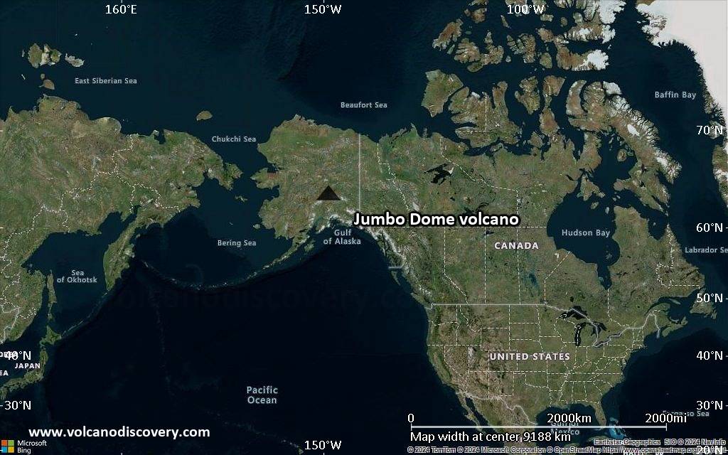
Satellite/aerial-type map of Jumbo Dome volcano (world scale)
Terrain-type map of Jumbo Dome volcano (world scale)
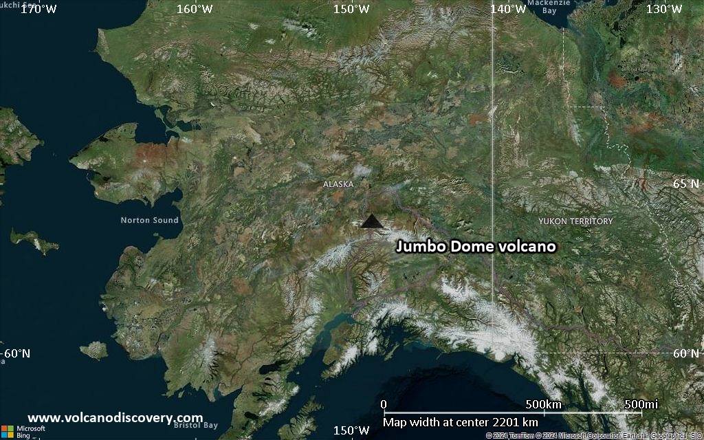
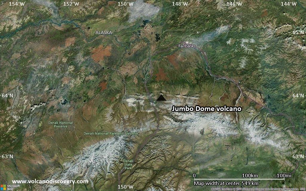
Satellite/aerial-type map of Jumbo Dome volcano (region scale large)
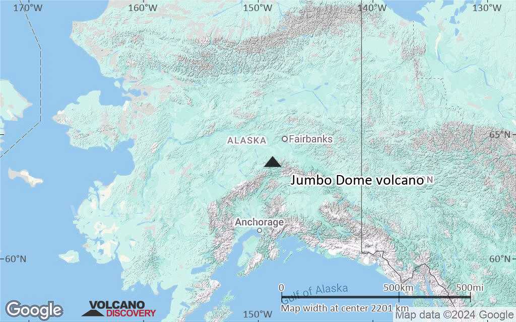
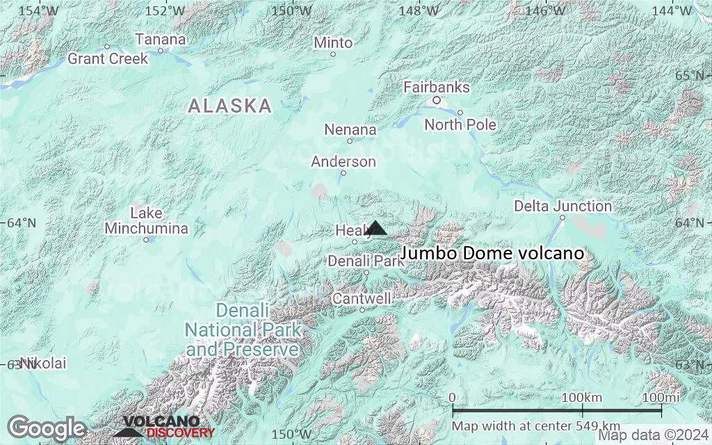
Terrain-type map of Jumbo Dome volcano (region scale large)
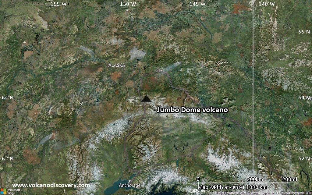
Satellite/aerial-type map of Jumbo Dome volcano (region scale medium)
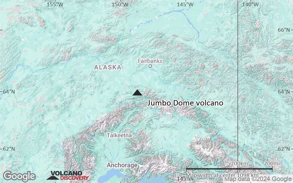
Terrain-type map of Jumbo Dome volcano (region scale medium)
Satellite/aerial-type map of Jumbo Dome volcano (region scale small)
Terrain-type map of Jumbo Dome volcano (region scale small)

Satellite/aerial-type map of Jumbo Dome volcano (local scale large)

Terrain-type map of Jumbo Dome volcano (local scale large)

Satellite/aerial-type map of Jumbo Dome volcano (local scale medium)

Terrain-type map of Jumbo Dome volcano (local scale medium)

Satellite/aerial-type map of Jumbo Dome volcano (local scale small)

Terrain-type map of Jumbo Dome volcano (local scale small)

Satellite/aerial-type map of Jumbo Dome volcano (scale of 10s of km)

Terrain-type map of Jumbo Dome volcano (scale of 10s of km)

Satellite/aerial-type map of Jumbo Dome volcano (scale of 20-40 km)

Terrain-type map of Jumbo Dome volcano (scale of 20-40 km)

Satellite/aerial-type map of Jumbo Dome volcano (scale of approx. 10-20 km)

Terrain-type map of Jumbo Dome volcano (scale of approx. 10-20 km)

Satellite/aerial-type map of Jumbo Dome volcano (scale of 5-10 km)

Satellite/aerial-type map of Jumbo Dome volcano (scale of few kilometers)


