Kakuto Volcano
Updated: Jul 2, 2025 12:49 GMT -
Caldera
Japan, 32.04°N / 130.77°E 
Summit height: unknown
Current status: (probably) extinct (0 out of 5)
[smaller] [larger]
Kakuto volcano eruptions: None during the past 10,000 years
Less than few million years ago (Pleistocene)
Latest nearby earthquakes
| Date and Time | Mag / Depth | Distance / Location | |||
|---|---|---|---|---|---|
| Jul 2, 06:27 pm (GMT +9) | 0.5 8 km | 15 km (9.4 mi) to the E | Info | ||
| Jul 2, 02:21 pm (GMT +9) | 0.2 11 km | 26 km (16 mi) to the N | Info | ||
| Tuesday, July 1, 2025 GMT (5 quakes) | |||||
| Jul 2, 07:02 am (GMT +9) | 0.1 8.7 km | 19 km (12 mi) to the SE | Info | ||
| Jul 2, 04:21 am (GMT +9) | 0.4 7.3 km | 24 km (15 mi) to the NW | Info | ||
| Jul 2, 03:43 am (GMT +9) | 0.1 10.4 km | 26 km (16 mi) to the N | Info | ||
| Jul 2, 03:18 am (GMT +9) | 0.4 8.7 km | 20 km (12 mi) to the SE | Info | ||
| Jul 2, 03:15 am (GMT +9) | 0.3 8.8 km | 19 km (12 mi) to the SE | Info | ||
| Wednesday, June 25, 2025 GMT (2 quakes) | |||||
| Jun 25, 01:28 pm (GMT +9) | 1.8 7.7 km | 19 km (12 mi) to the SE | Info | ||
| Jun 25, 01:19 pm (GMT +9) | 2.5 8.4 km | 18 km (11 mi) to the E | Info | ||
Background
Kakuto is a large figure-eight shaped caldera north of Kirishima that consists of the overlapping Kakuto and Kobayashi calderas, formed about 0.4-0.5 and 0.3 Ma, respectively (Nakano et al., 2001-). Major explosive eruptions have occurred around 110,000, 65,000 and 12,000 years ago (Newhall and Dzurisin, 1988).---
Source: Smithsonian / GVP volcano information
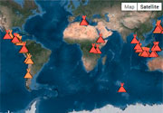
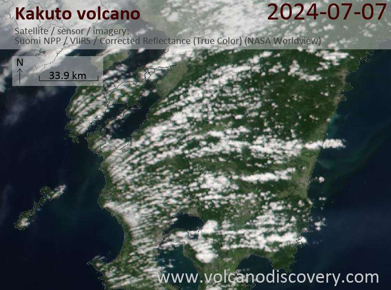
Latest satellite images

Kakuto Volcano Maps
Below is a selection of maps showing the location and surroundings of the volcano at various resolutions based on aerial-imagery / terrain maps. Feel free to use them for non-commercial purposes on your blog or website as long as you credit them with a link back to this page (click to copy it).

Satellite/aerial-type map of Kakuto volcano (world scale)

Terrain-type map of Kakuto volcano (world scale)

Satellite/aerial-type map of Kakuto volcano (region scale large)

Terrain-type map of Kakuto volcano (region scale large)

Satellite/aerial-type map of Kakuto volcano (region scale medium)

Terrain-type map of Kakuto volcano (region scale medium)

Satellite/aerial-type map of Kakuto volcano (region scale small)

Terrain-type map of Kakuto volcano (region scale small)

Satellite/aerial-type map of Kakuto volcano (local scale large)

Terrain-type map of Kakuto volcano (local scale large)

Satellite/aerial-type map of Kakuto volcano (local scale medium)

Terrain-type map of Kakuto volcano (local scale medium)

Satellite/aerial-type map of Kakuto volcano (local scale small)

Terrain-type map of Kakuto volcano (local scale small)

Satellite/aerial-type map of Kakuto volcano (scale of 10s of km)

Terrain-type map of Kakuto volcano (scale of 10s of km)

Satellite/aerial-type map of Kakuto volcano (scale of 20-40 km)

Terrain-type map of Kakuto volcano (scale of 20-40 km)

Satellite/aerial-type map of Kakuto volcano (scale of approx. 10-20 km)

Terrain-type map of Kakuto volcano (scale of approx. 10-20 km)

Satellite/aerial-type map of Kakuto volcano (scale of 5-10 km)

Satellite/aerial-type map of Kakuto volcano (scale of few kilometers)