


Kos Volcano
Updated: Nov 16, 2025 04:45 GMT -
Caldera(s)
Aegean Sea, Greece, 36.85°N / 27.25°E 
Summit height: 430 m / 1411 ft
Current status: (probably) extinct (0 out of 5)
[smaller] [larger]
Kos volcano eruptions: None during the past 10,000 years
Less than 2.58 million years ago (Pleistocene)
Latest nearby earthquakes
| Date and Time | Mag / Depth | Distance / Location | |||
|---|---|---|---|---|---|
| Nov 13, 04:49 am (Istanbul) | 1.8 6.9 km | 26 km (16 mi) to the NE | Info | ||
| Saturday, November 8, 2025 GMT (2 quakes) | |||||
| Nov 8, 06:37 pm (Athens) | 1.6 12 km | 6 km (3.7 mi) to the NW | Info | ||
| Nov 8, 03:58 pm (Istanbul) | 2.1 10 km | 9.9 km (6.1 mi) to the N | Info | ||
| Thursday, November 6, 2025 GMT (1 quake) | |||||
| Nov 6, 03:25 pm (Istanbul) | 1.6 7.1 km | 16 km (9.9 mi) to the NE | Info | ||
Background
The island of Kos is dominantly non-volcanic but contains Miocene to Pleistocene volcanic centers. The Kamari caldera is of mid-Pleistocene age and contains the 1.0-0.55 million-year-old, post-caldera Zini lava dome. The formation of a large caldera deposited the widespread Kos Plateau Tuff (erupted about 160,000 years ago), which blankets much of the western half of Kos and originated from a stratovolcano between Kos and Nisyros islands. The caldera dimensions are uncertain, but may extend as much as 20 km from Kefalos Bay in SW Kos Island to Nisyros Island. Remnants of the pre-eruption stratovolcano are preserved on the islets of Pachia and Pyrgousa and as submarine volcanic rocks on Nisyros. Kos was included in the Catalog of Active Volcanoes of the World (Georgalas, 1962) based on its geothermal activity. Several solfatara fields are present, including Vromotopos at Kefalos Isthmus on the western side of the island and a group of thermal areas at the eastern side of Kos. Thermal activity consists of weak hydrogen sulfide emission, sulfur deposits, and two hot springs along the southeastern coast.---
Smithsonian / GVP volcano information
Kos Volcano Photos

St. Nikos bei Amouthi / Ia (Photo: Tobias Schorr)

Natural bridge formed by sea erosion into the white ash and pumice deposit near Papafrakos. A good spot for a group picture... (Photo: Tom Pfeiffer)
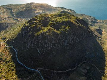
The most beautiful lava dome of Methana: Kosona lava dome. (Photo: Tobias Schorr)

White cliff of the Sarakinikos coast (Milos Island, Greece) (Photo: Tom Pfeiffer)
Latest satellite images
Kos Volcano Maps
Below is a selection of maps showing the location and surroundings of the volcano at various resolutions based on aerial-imagery / terrain maps. Feel free to use them for non-commercial purposes on your blog or website as long as you credit them with a link back to this page (click to copy it).
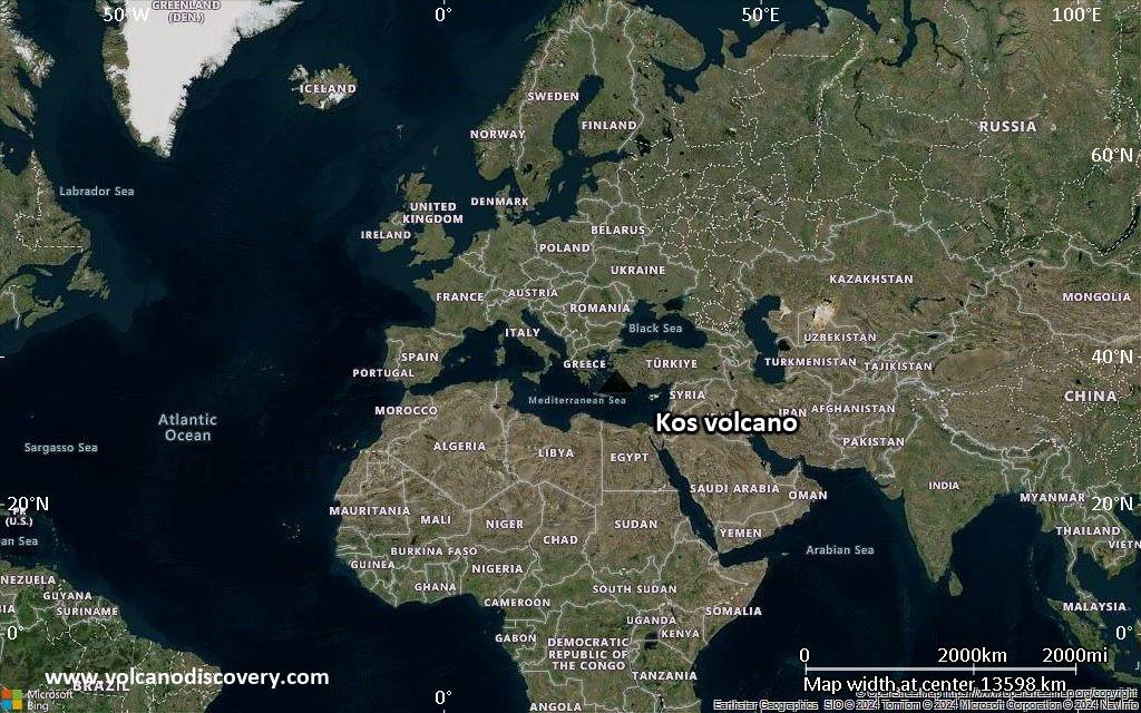
Satellite/aerial-type map of Kos volcano (world scale)
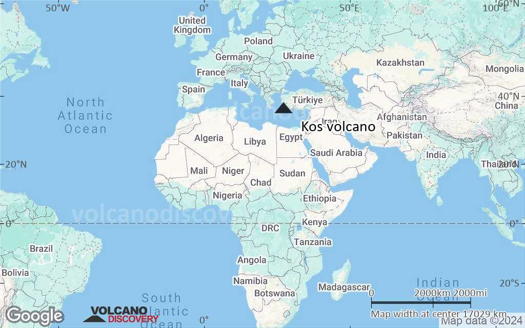
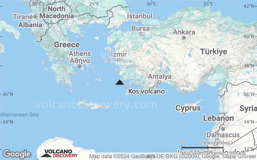
Terrain-type map of Kos volcano (world scale)
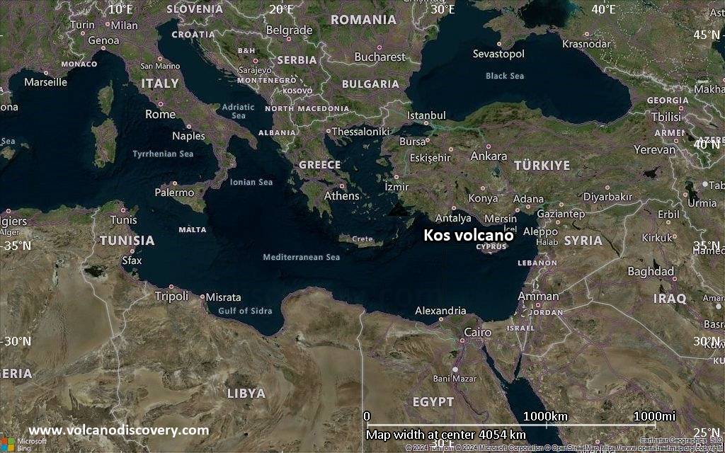
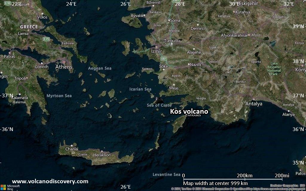
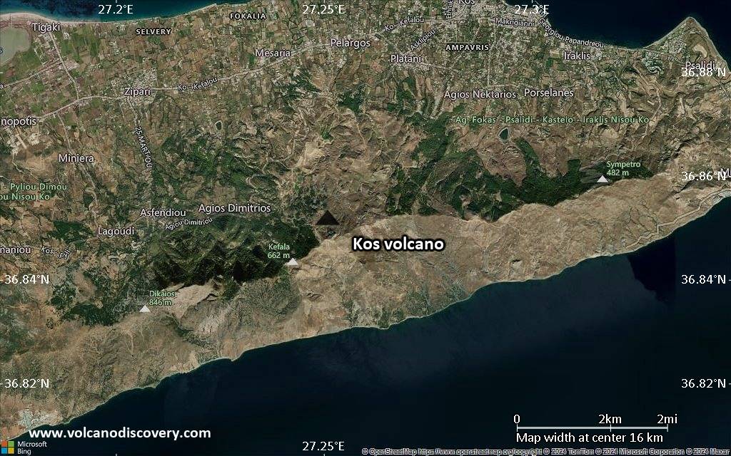
Satellite/aerial-type map of Kos volcano (region scale large)
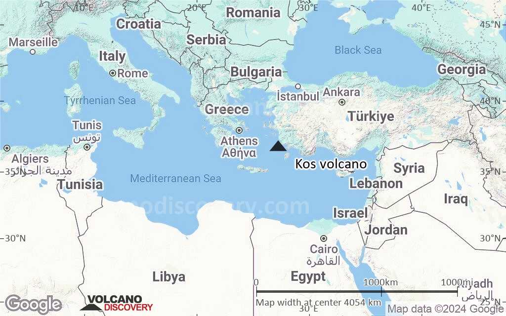
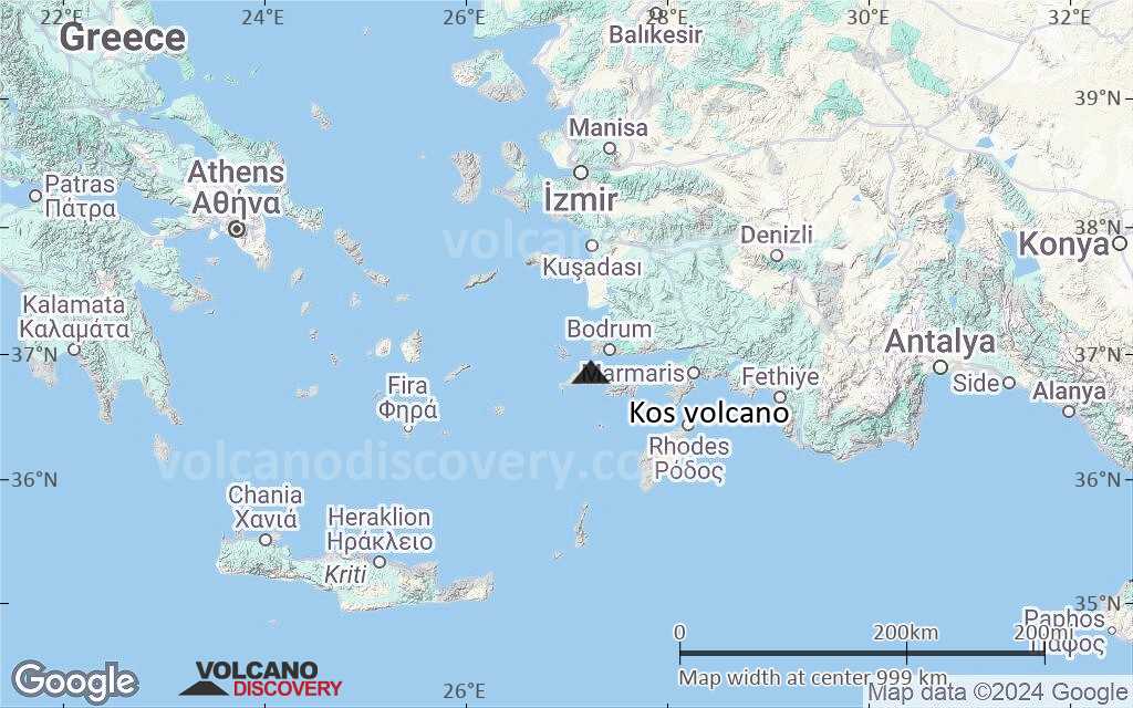
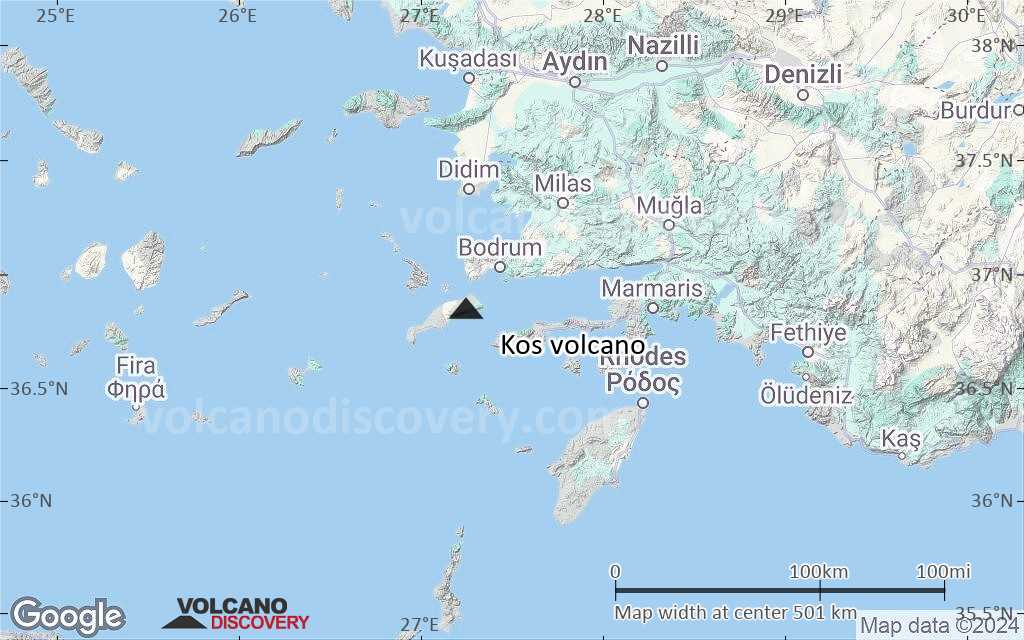
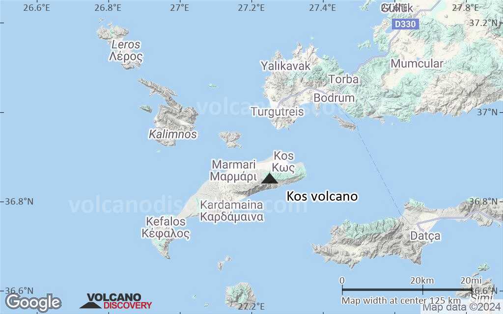
Terrain-type map of Kos volcano (region scale large)
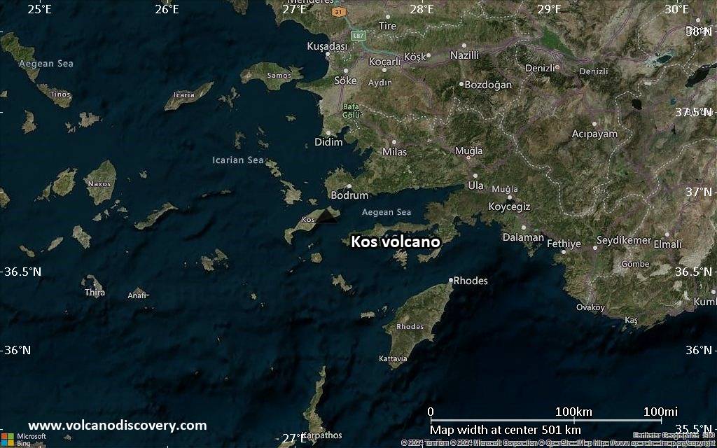
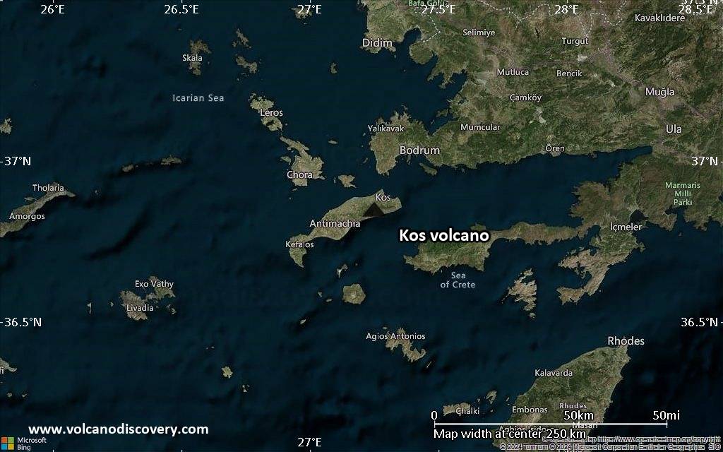
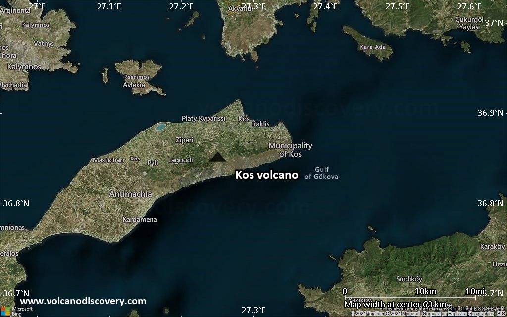
Satellite/aerial-type map of Kos volcano (region scale medium)
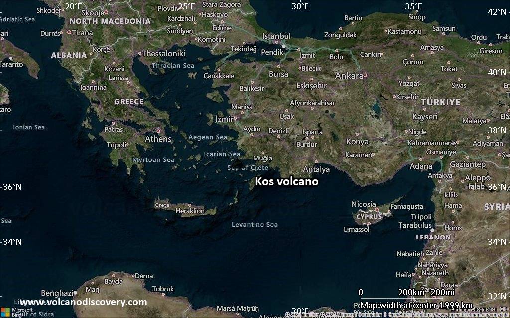
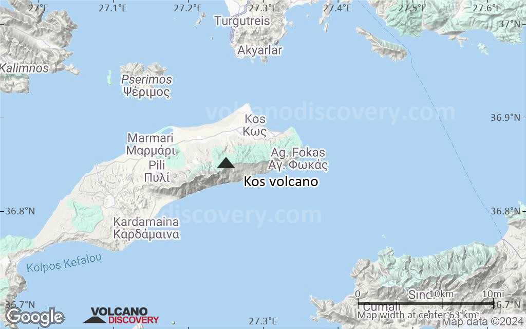
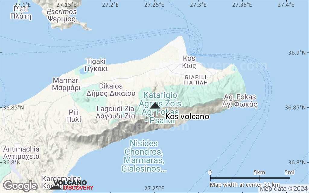
Terrain-type map of Kos volcano (region scale medium)
Satellite/aerial-type map of Kos volcano (region scale small)
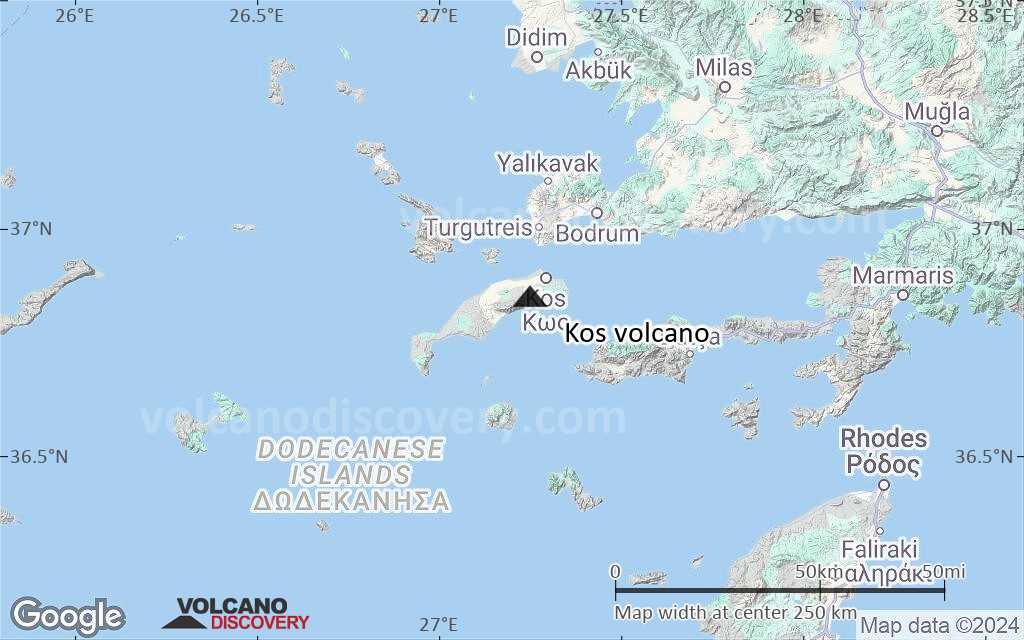
Terrain-type map of Kos volcano (region scale small)
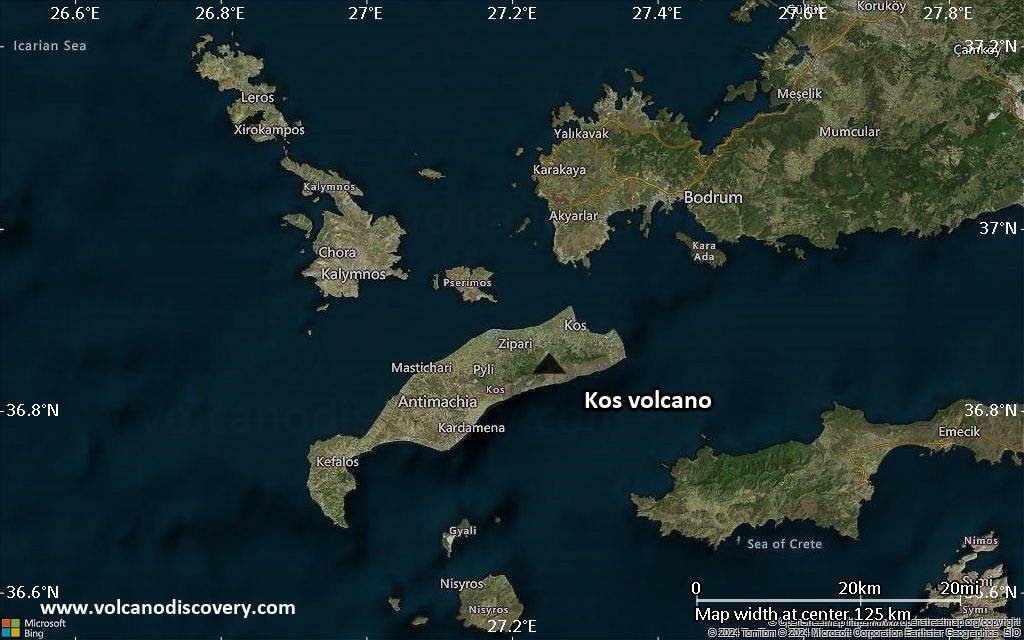
Satellite/aerial-type map of Kos volcano (local scale large)
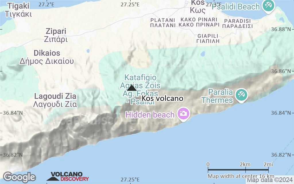
Terrain-type map of Kos volcano (local scale large)
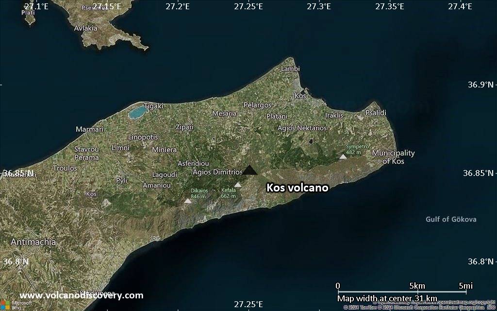
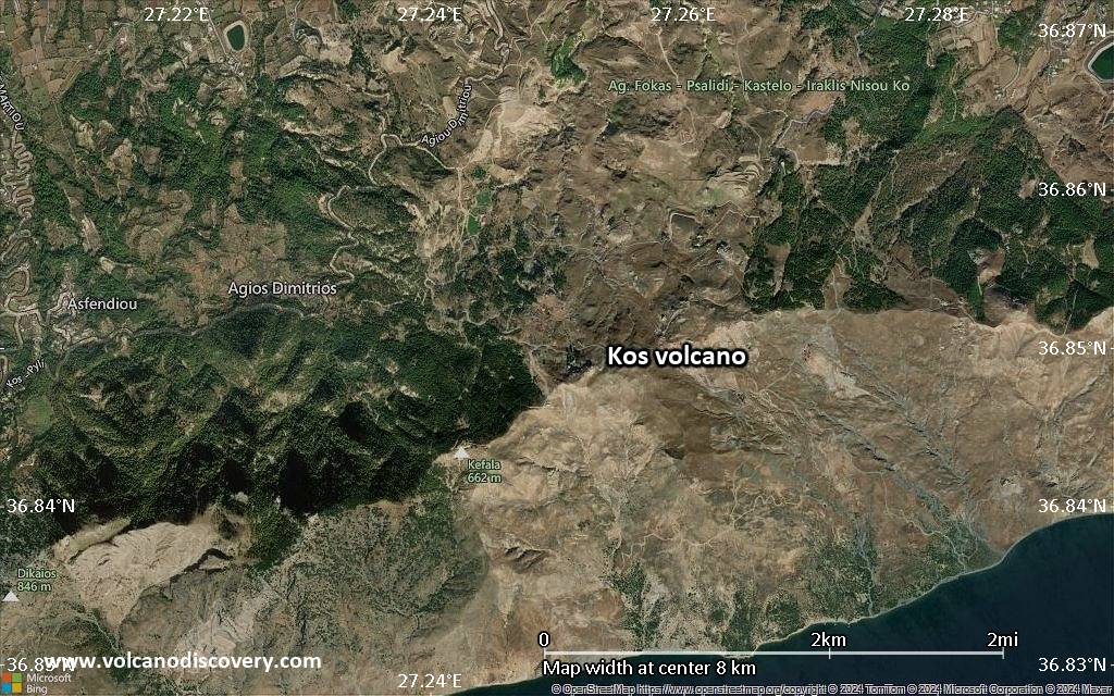
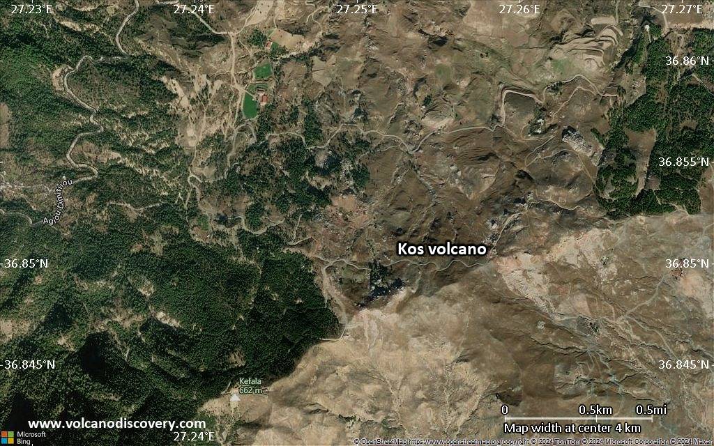
Satellite/aerial-type map of Kos volcano (local scale medium)
Terrain-type map of Kos volcano (local scale medium)
Satellite/aerial-type map of Kos volcano (local scale small)
Terrain-type map of Kos volcano (local scale small)
Satellite/aerial-type map of Kos volcano (scale of 10s of km)
Terrain-type map of Kos volcano (scale of 10s of km)
Satellite/aerial-type map of Kos volcano (scale of 20-40 km)
Terrain-type map of Kos volcano (scale of 20-40 km)
Satellite/aerial-type map of Kos volcano (scale of approx. 10-20 km)
Terrain-type map of Kos volcano (scale of approx. 10-20 km)
Satellite/aerial-type map of Kos volcano (scale of 5-10 km)
Satellite/aerial-type map of Kos volcano (scale of few kilometers)


