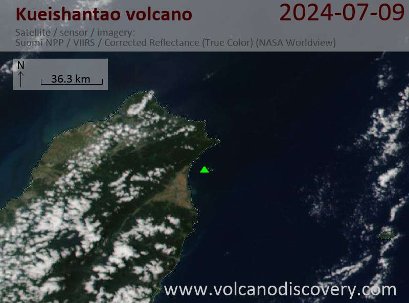
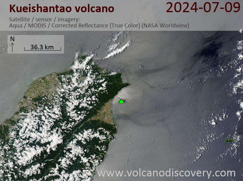
Kueishantao Volcano
Updated: May 15, 2024 09:35 GMT -
Stratovolcano 401 m / 1,316 ft
Taiwan, 24.85°N / 121.92°E
Current status: normal or dormant (1 out of 5)
Taiwan, 24.85°N / 121.92°E
Current status: normal or dormant (1 out of 5)
[smaller] [larger]
Kueishantao volcano eruptions: 1785 ± 10 years
Latest nearby earthquakes
| Time | Mag. / Depth | Distance / Location | |||
Background
Kueishantao Island, whose summit is 401 m above sea level, is the southernmost of five small volcanic islands off the NE coast of Taiwan. Kueishantao, also known as Guieshan Island, consists of andesitic lava flows and volcaniclastic material. Kueishantao is the southwesternmost volcano along the axis of the Okinawa Trough back-arc basin that extends to the NE from Taiwan to Unzen volcano in Kyushu. The SW tip of the Okinawa Trough extends past Kueishantao onto the Ilao Plain on the island of Taiwan. The island is known as "Turtle Mountain Island" due to its profile as seen from some points on the coast of Taiwan. Historical accounts during the time of King Qianlong of the Qing Dynasty (1775-1795 AD) noted the Guieshan mountain split open with a blood-red lava flow. Kueishantao displays vigorous active submarine fumaroles and solfataras that discolor seawater over wide areas.---
Smithsonian / GVP volcano information
Latest satellite images