Volcan Linzor Volcano
Updated: Jul 4, 2025 22:56 GMT -
Stratovolcano
Northern Chile / Bolivia border, -22.18°S / -67.95°W 

Summit height: 5680 m / 18635 ft
Current status: (probably) extinct (0 out of 5)
[smaller] [larger]
Volcan Linzor volcano eruptions: None during the past 10,000 years
Less than few million years ago (Pleistocene)
Latest nearby earthquakes
| Date and Time | Mag / Depth | Distance / Location | |||
|---|---|---|---|---|---|
| Jun 23, 01:39 am (GMT -4) | 2.8 214 km | 16 km (9.9 mi) to the SE | Info | ||
Background
Volcán Linzor is a 5680-m-high stratovolcano along the Chile/Boliva border. This andesitic volcano was considered to be Pleistocene-Holocene age by González-Ferrán (1995). De Silva (2007 pers. comm.) noted no evidence for Holocene activity at Linzor, which lies west of Laguna Colorada.---
Source: Smithsonian / GVP volcano information
Latest satellite images

Volcan Linzor Volcano Maps
Below is a selection of maps showing the location and surroundings of the volcano at various resolutions based on aerial-imagery / terrain maps. Feel free to use them for non-commercial purposes on your blog or website as long as you credit them with a link back to this page (click to copy it).
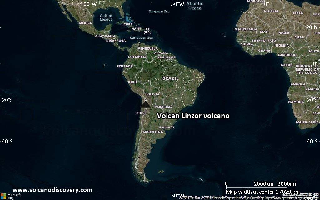
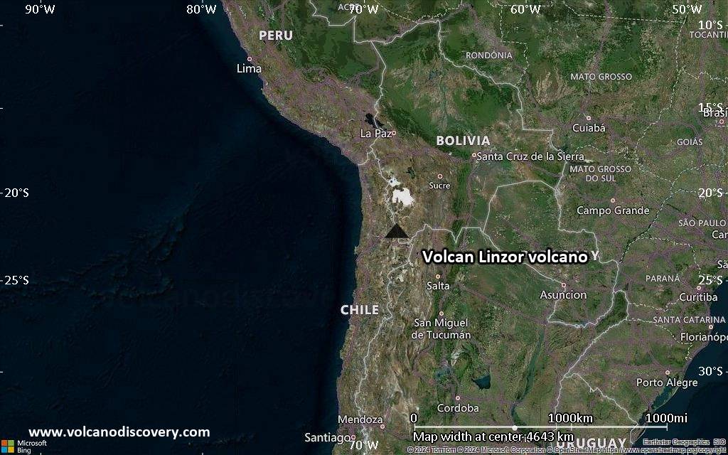
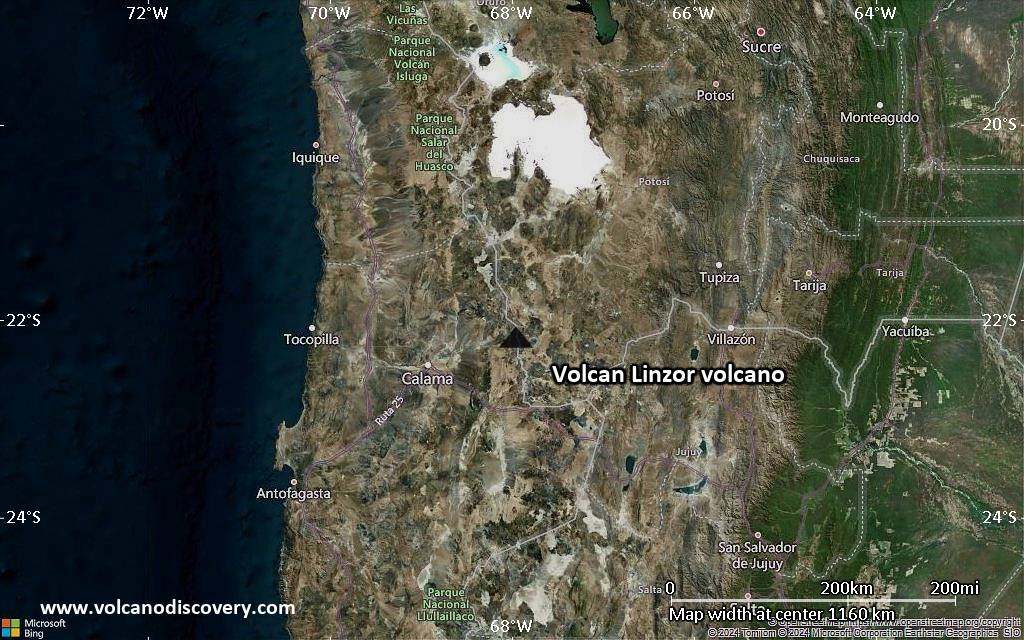
Satellite/aerial-type map of Volcan Linzor volcano (world scale)
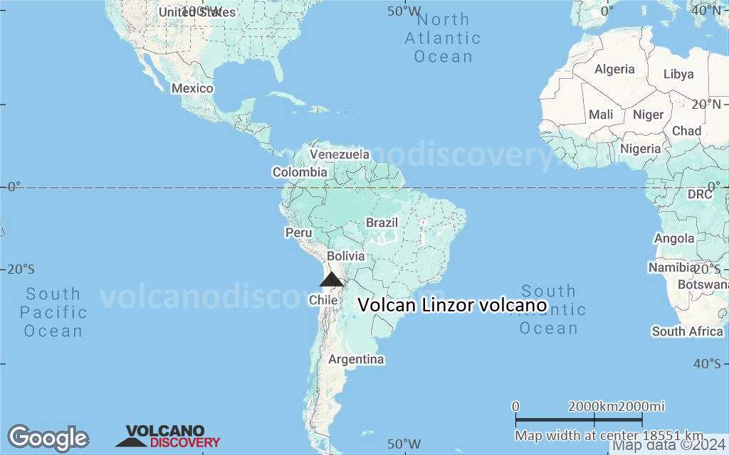
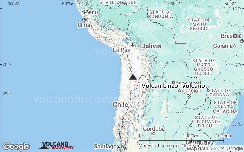
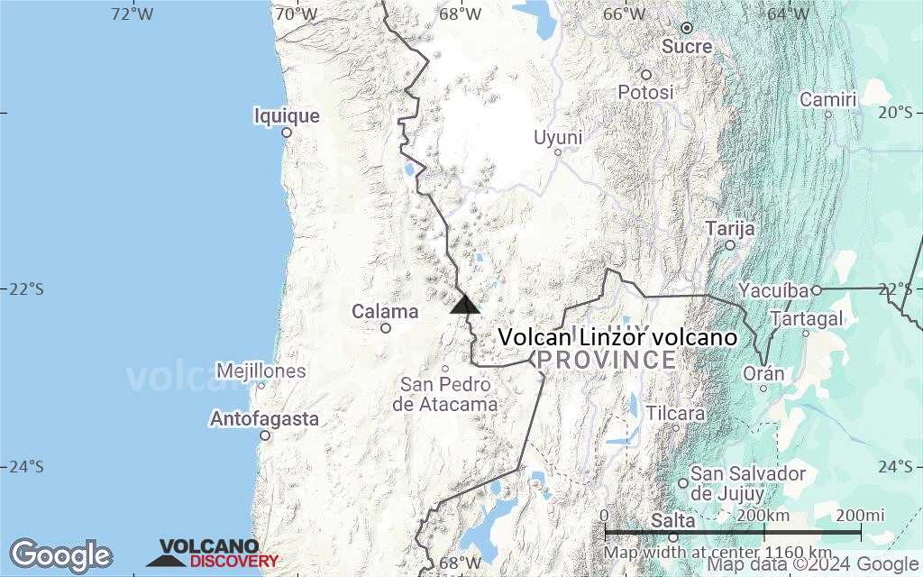
Terrain-type map of Volcan Linzor volcano (world scale)
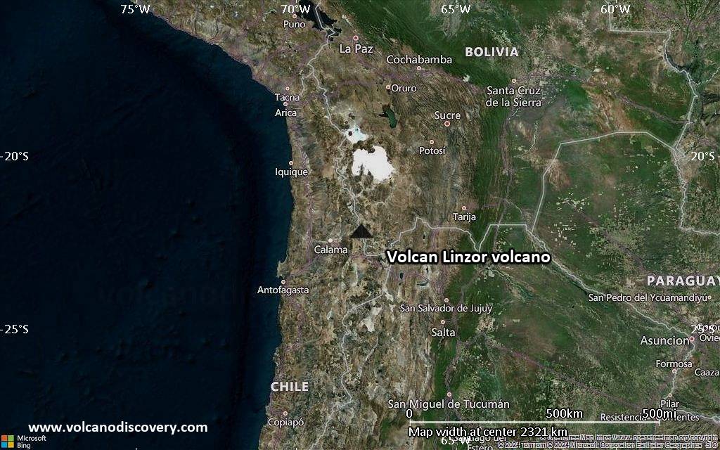
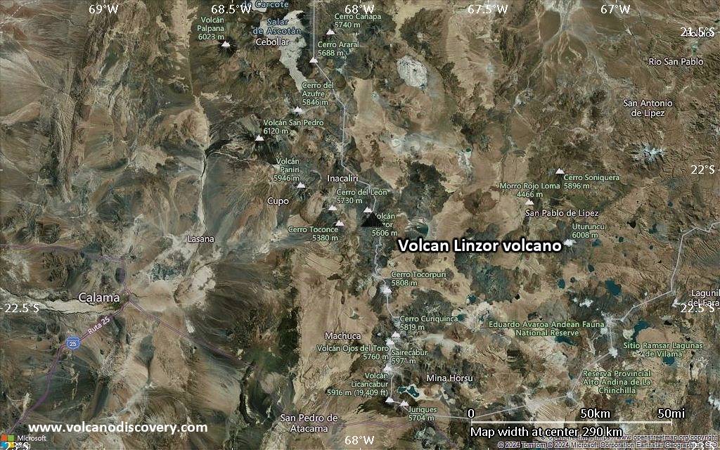
Satellite/aerial-type map of Volcan Linzor volcano (region scale large)
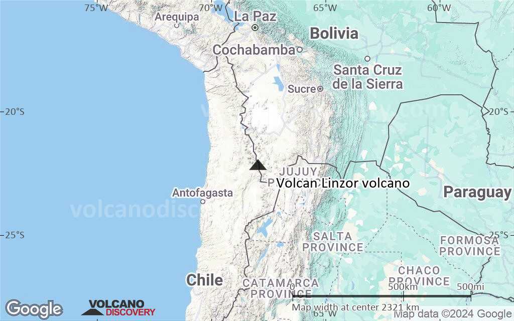
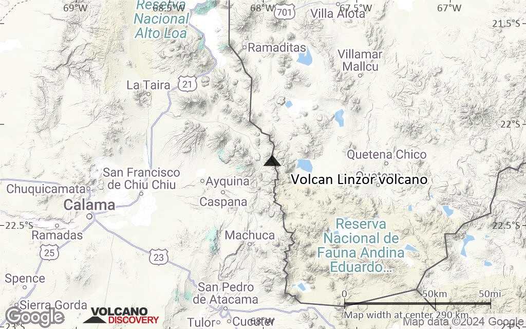
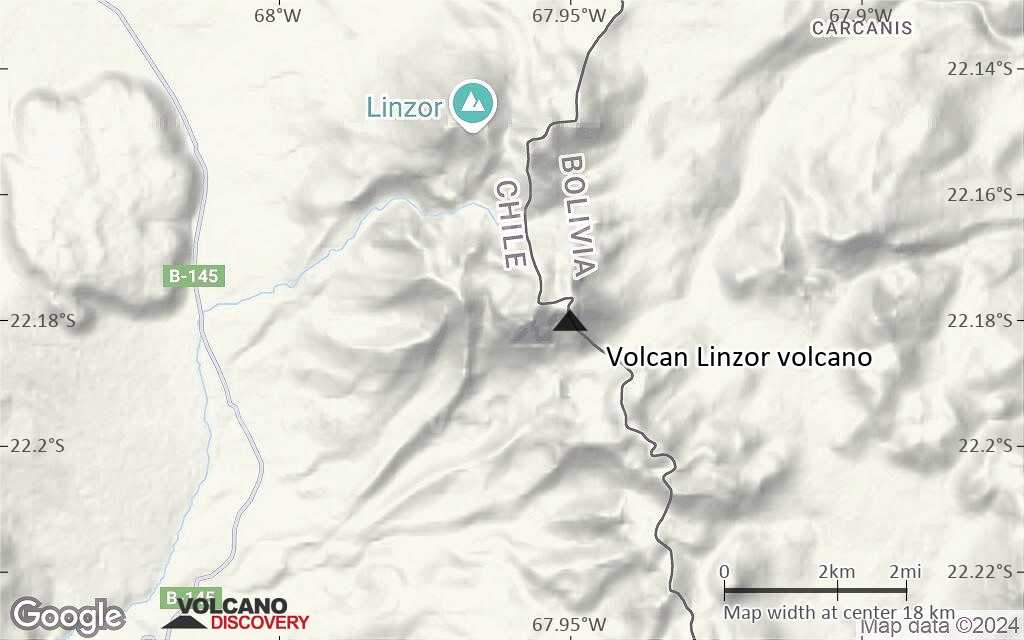
Terrain-type map of Volcan Linzor volcano (region scale large)
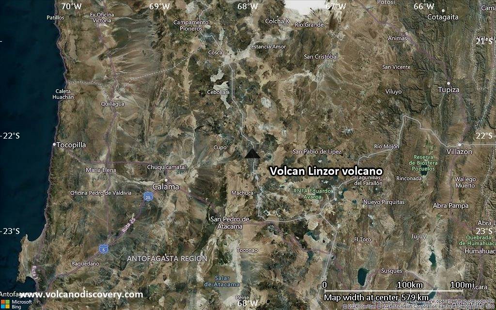
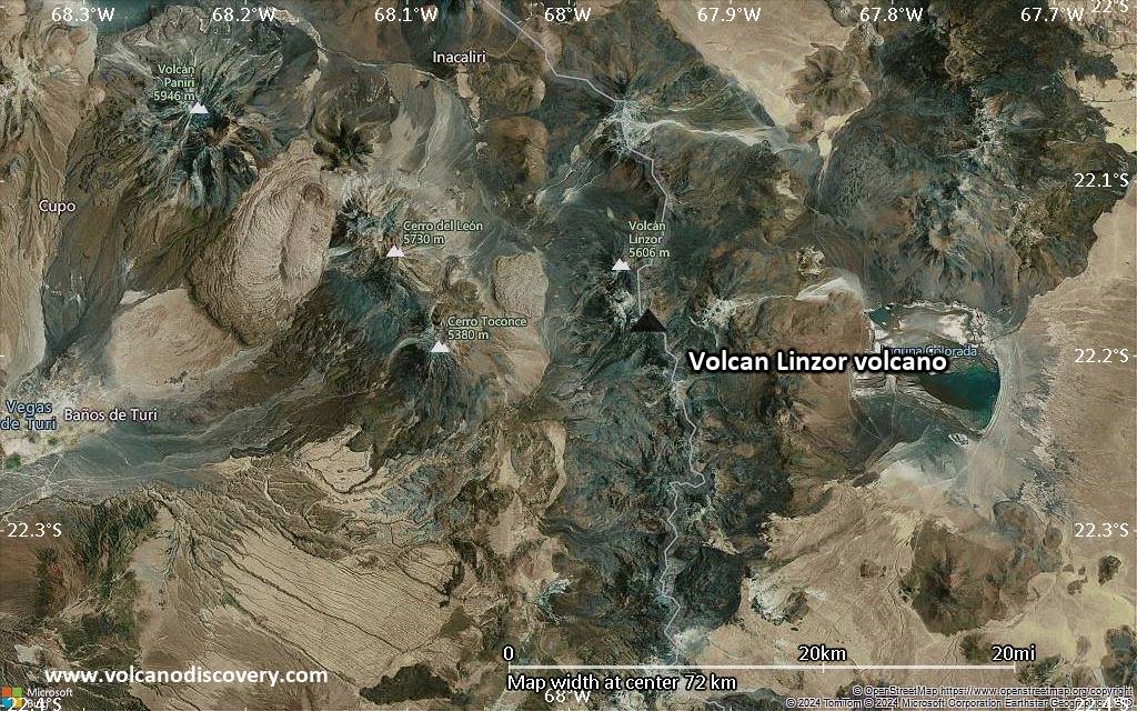
Satellite/aerial-type map of Volcan Linzor volcano (region scale medium)
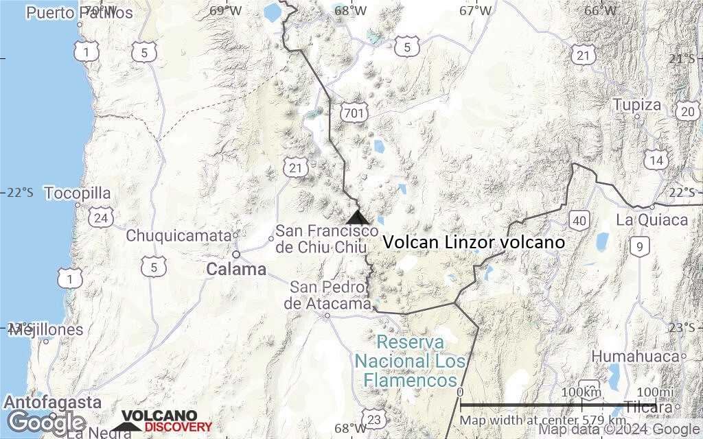
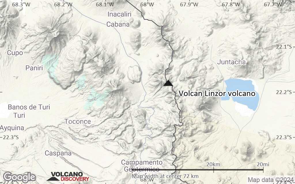
Terrain-type map of Volcan Linzor volcano (region scale medium)
Satellite/aerial-type map of Volcan Linzor volcano (region scale small)
Terrain-type map of Volcan Linzor volcano (region scale small)
Satellite/aerial-type map of Volcan Linzor volcano (local scale large)
Terrain-type map of Volcan Linzor volcano (local scale large)
Satellite/aerial-type map of Volcan Linzor volcano (local scale medium)
Terrain-type map of Volcan Linzor volcano (local scale medium)
Satellite/aerial-type map of Volcan Linzor volcano (local scale small)
Terrain-type map of Volcan Linzor volcano (local scale small)
Satellite/aerial-type map of Volcan Linzor volcano (scale of 10s of km)
Terrain-type map of Volcan Linzor volcano (scale of 10s of km)

Satellite/aerial-type map of Volcan Linzor volcano (scale of 20-40 km)
Terrain-type map of Volcan Linzor volcano (scale of 20-40 km)
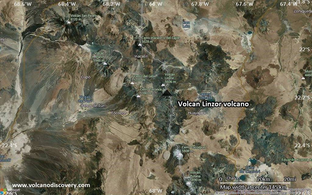
Satellite/aerial-type map of Volcan Linzor volcano (scale of approx. 10-20 km)
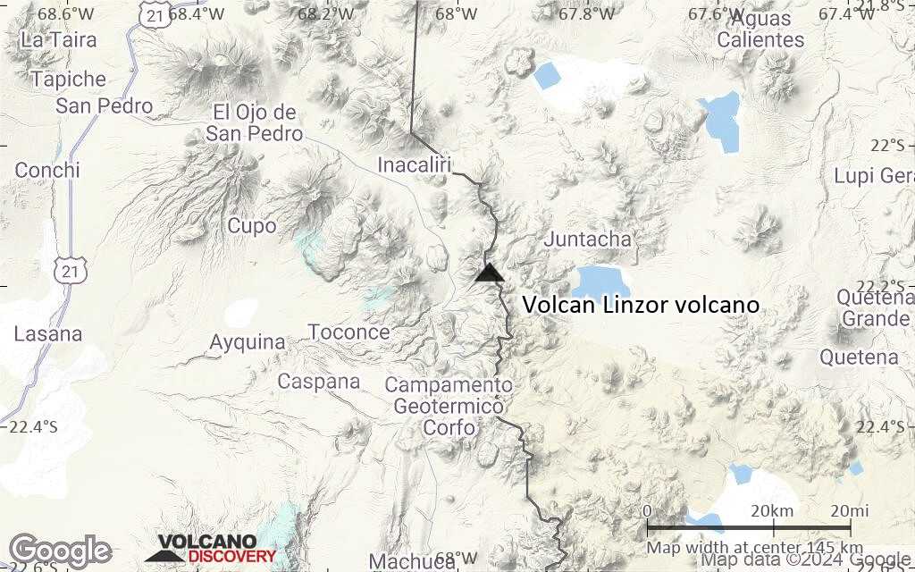
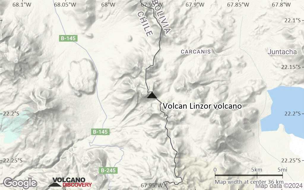
Terrain-type map of Volcan Linzor volcano (scale of approx. 10-20 km)
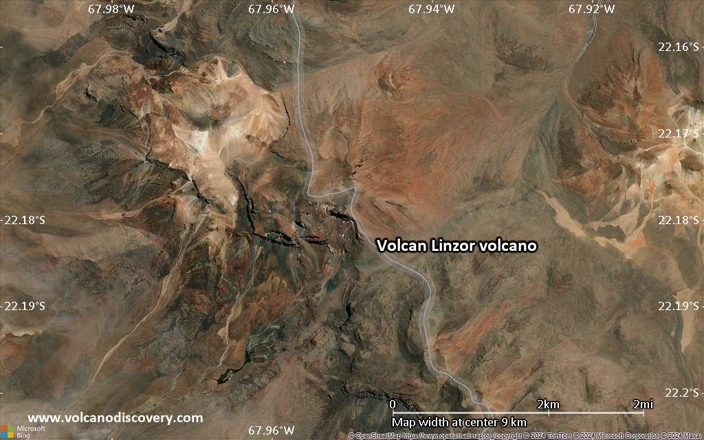
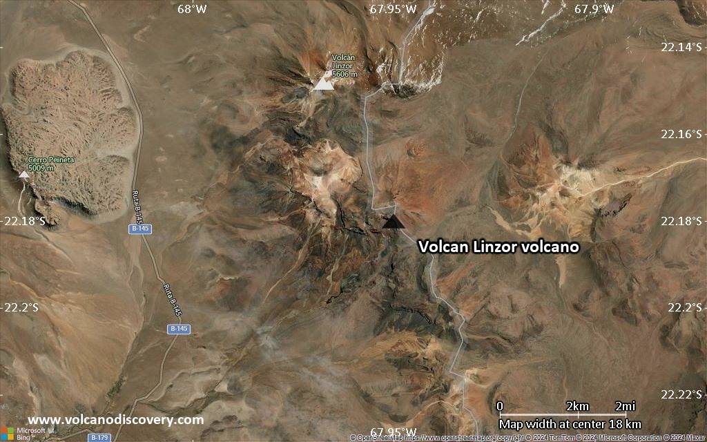
Satellite/aerial-type map of Volcan Linzor volcano (scale of 5-10 km)

Satellite/aerial-type map of Volcan Linzor volcano (scale of few kilometers)