Lokbatan Volcano
Updated: Jul 12, 2025 13:16 GMT -
mud volcano
Absheron peninsula, Azerbaijan, 40.34°N / 49.79°E 
Summit height: 165 m / 541 ft
Current status: normal or dormant (1 out of 5)
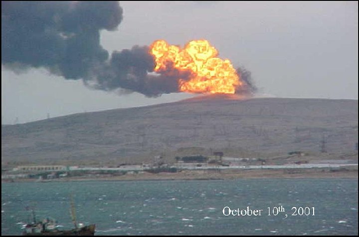
Eruption of Lokbatan mud volcano on October 10, 2001, with large flames of ignited gasses
Lokbatan is not a real volcano, but one of about 3-400 mud volcanoes in Azerbaijan, and one of its largest and most active ones. It is located about 15 km S of Baku on the Absheron peninsula at the shores of the Caspian Sea.
Lokbatan means "place where the camel got stuck". It may well have been named after the twin humps at the crest of the hill, which give it a camel-like shape. Lokbatan is located 15 kilometers south of Baku. This mud volcano erupted in 1977 and again, even more spectacularly on October 10, 2001, when it produced large flames many tens of meters high.
[smaller] [larger]
Lokbatan volcano eruptions: 2001
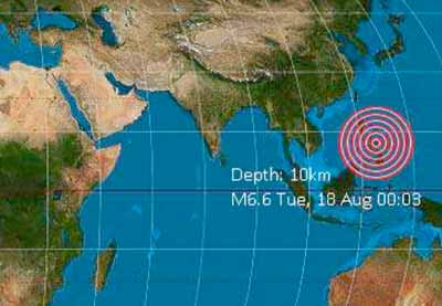
Latest nearby earthquakes
| Date and Time | Mag / Depth | Distance / Location | |||
|---|---|---|---|---|---|
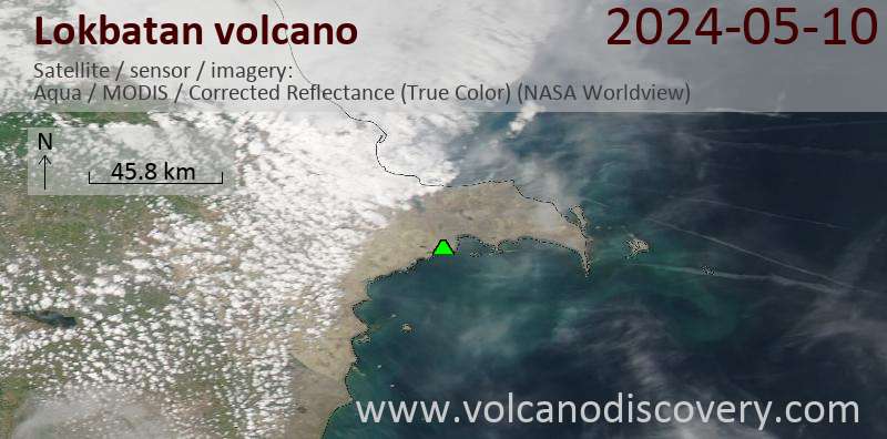
Latest satellite images
Lokbatan Volcano Maps
Below is a selection of maps showing the location and surroundings of the volcano at various resolutions based on aerial-imagery / terrain maps. Feel free to use them for non-commercial purposes on your blog or website as long as you credit them with a link back to this page (click to copy it).
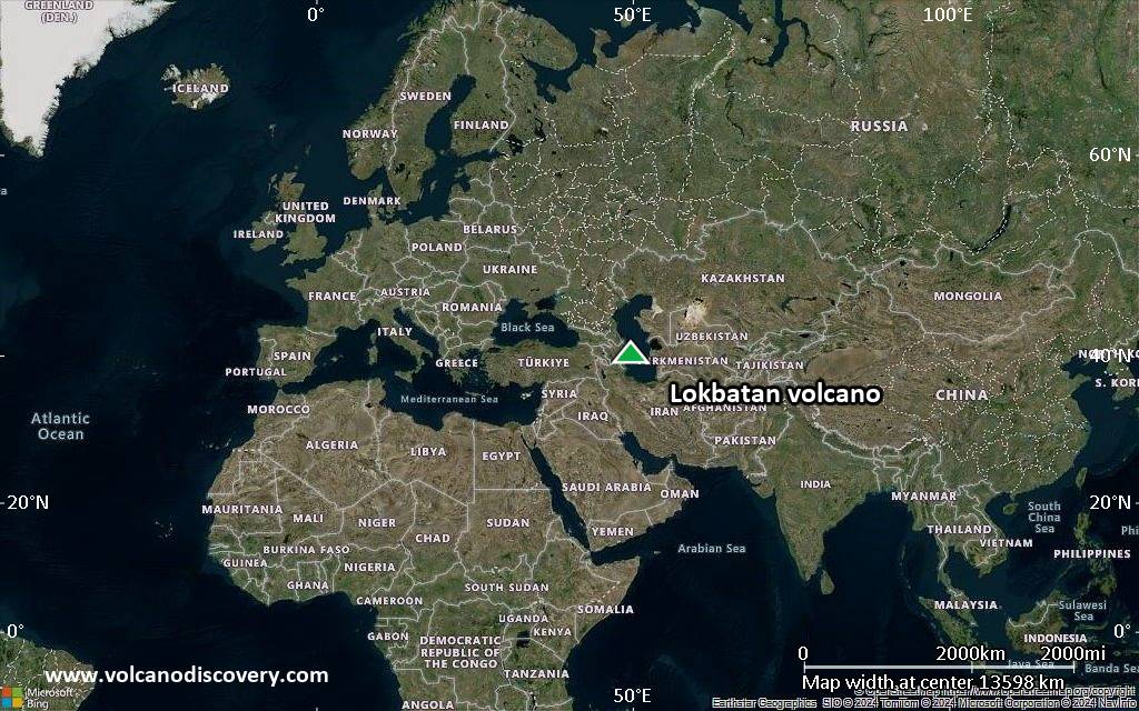
Satellite/aerial-type map of Lokbatan volcano (world scale)
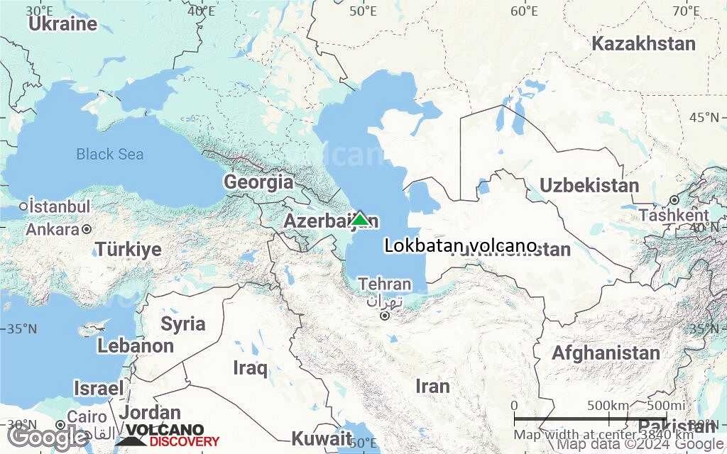
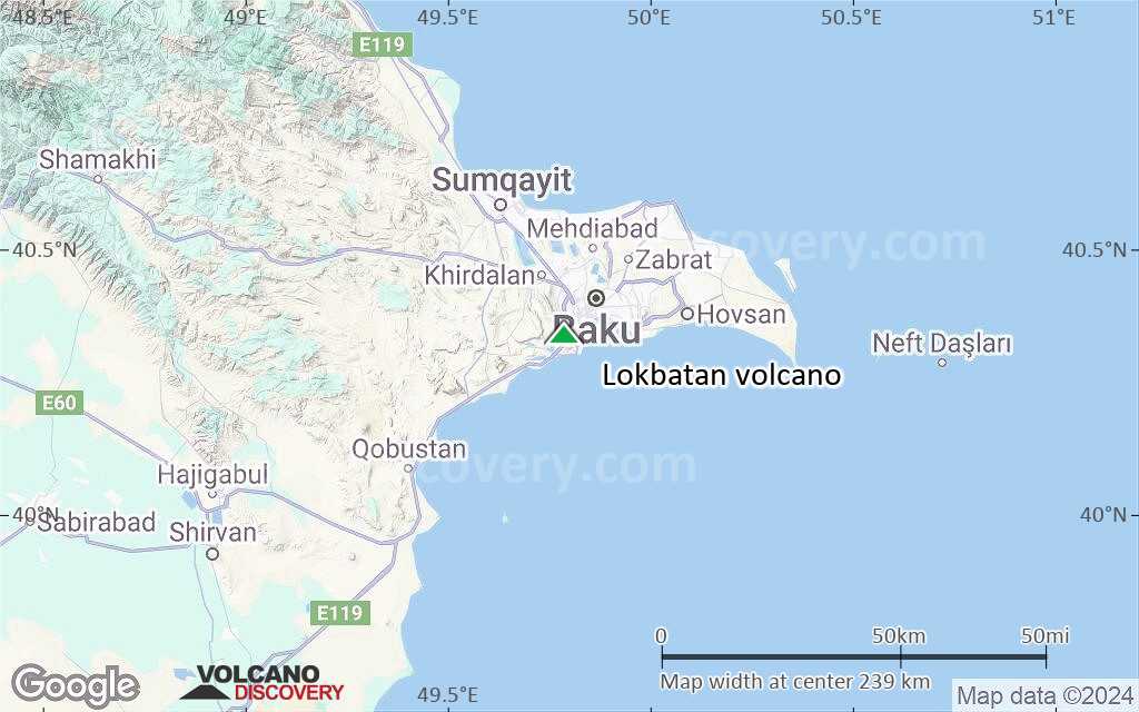
Terrain-type map of Lokbatan volcano (world scale)
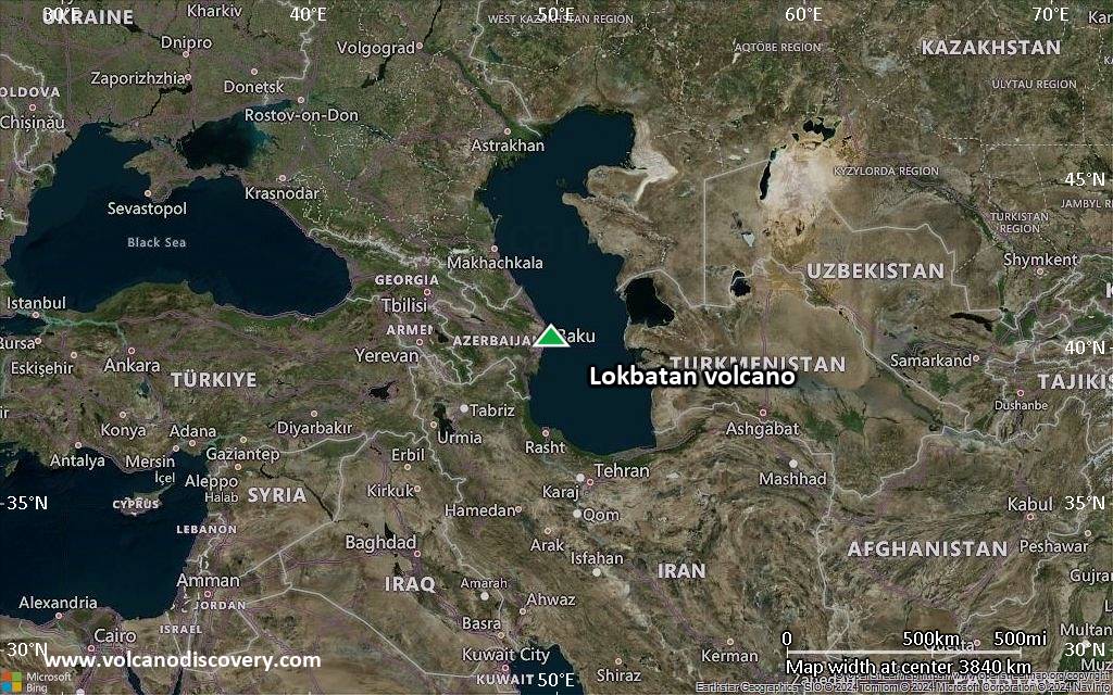
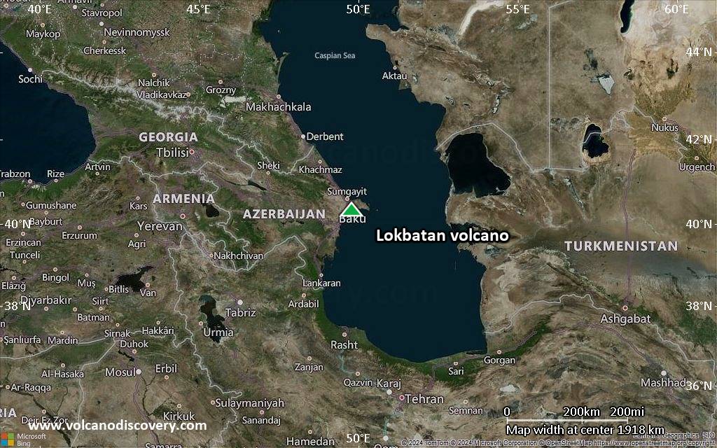
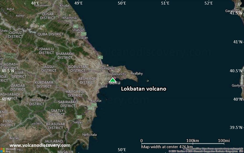
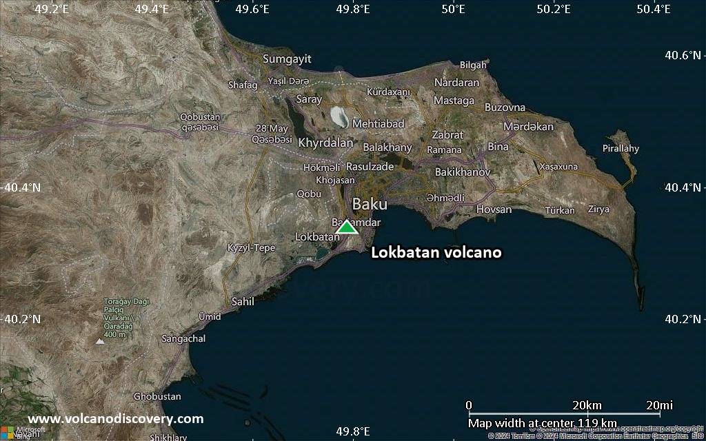
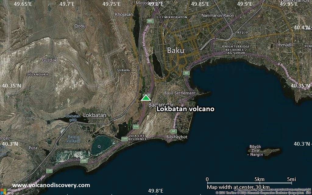
Satellite/aerial-type map of Lokbatan volcano (region scale large)
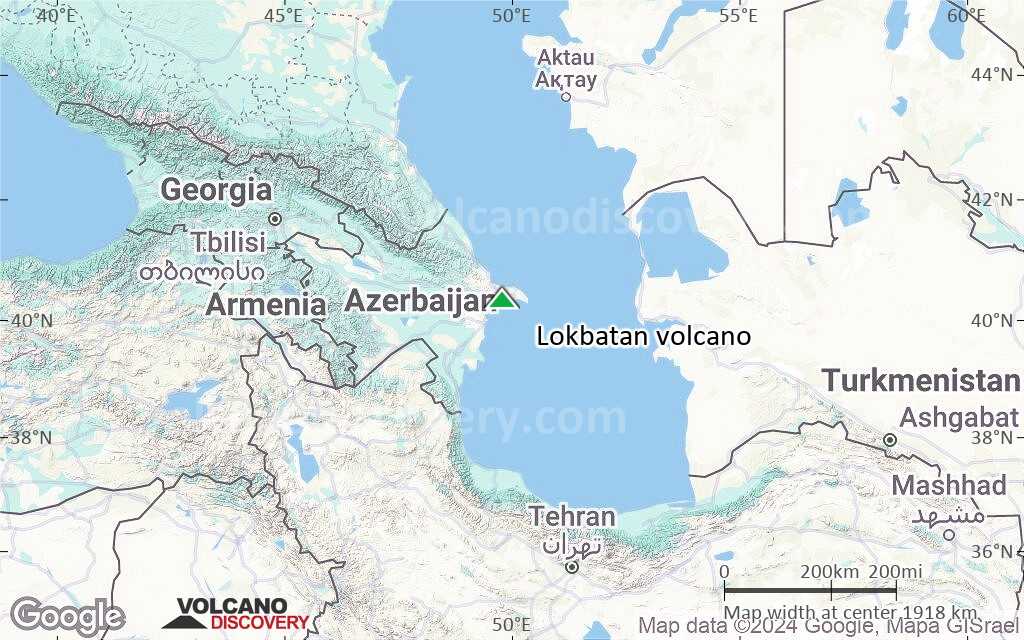
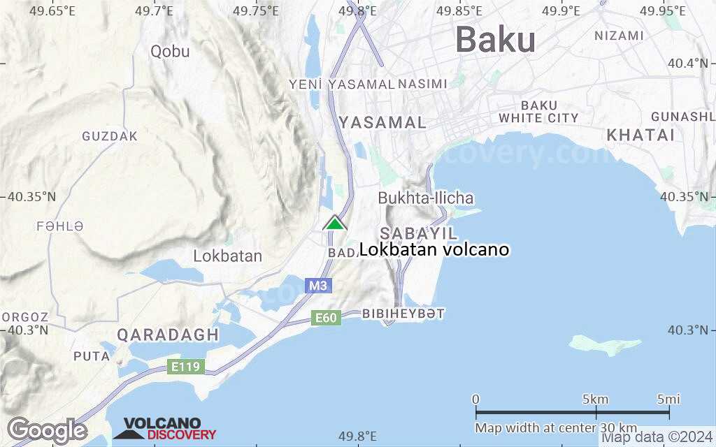
Terrain-type map of Lokbatan volcano (region scale large)
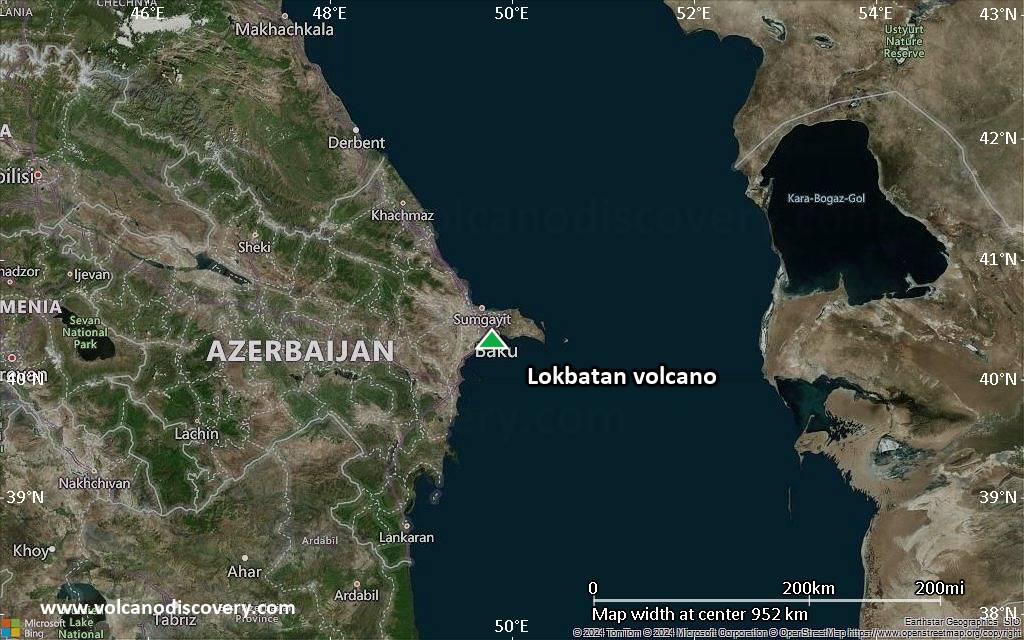
Satellite/aerial-type map of Lokbatan volcano (region scale medium)
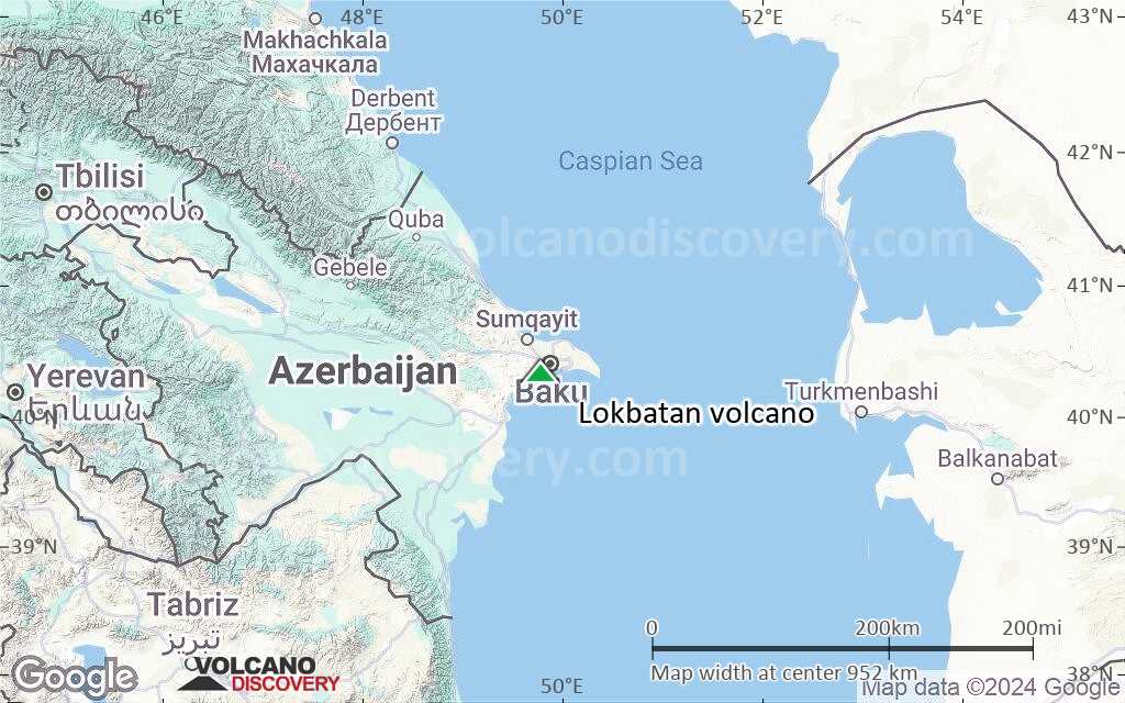
Terrain-type map of Lokbatan volcano (region scale medium)
Satellite/aerial-type map of Lokbatan volcano (region scale small)
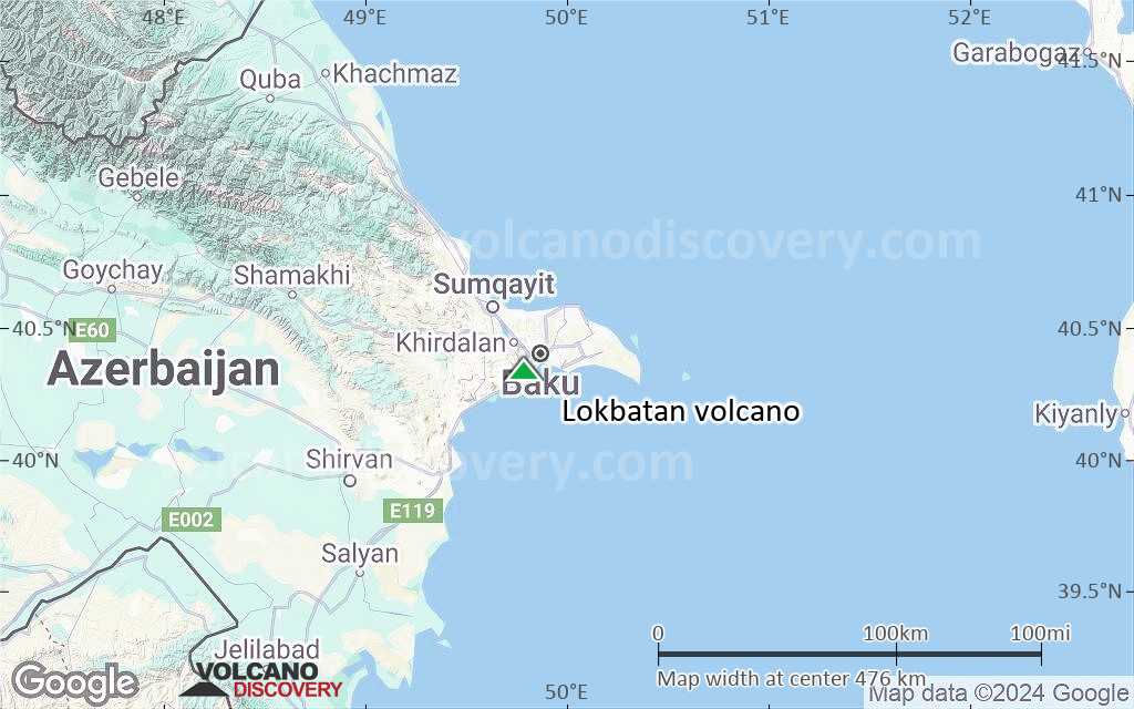
Terrain-type map of Lokbatan volcano (region scale small)
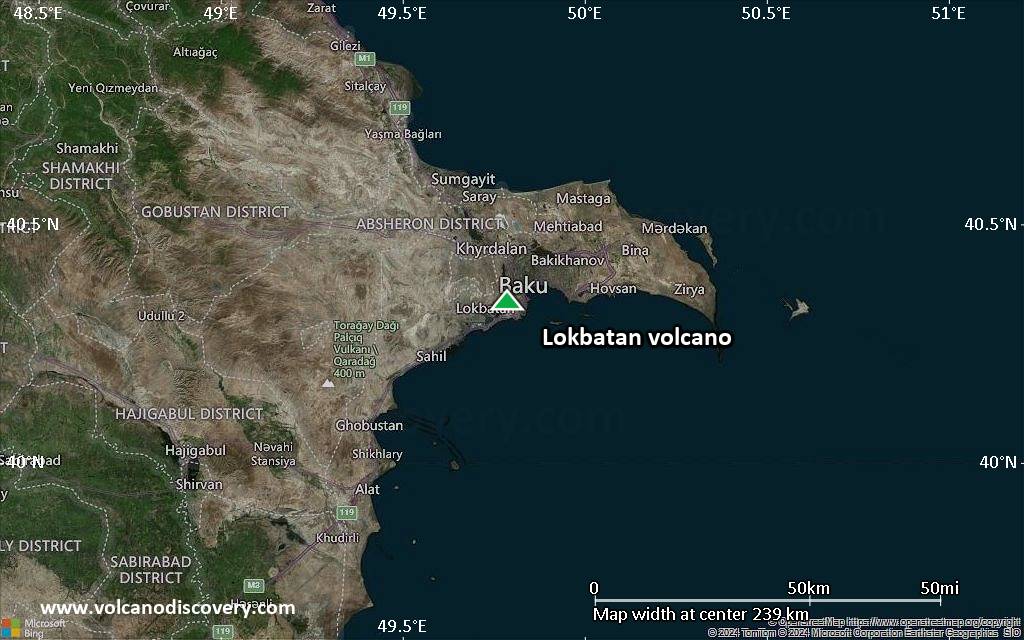
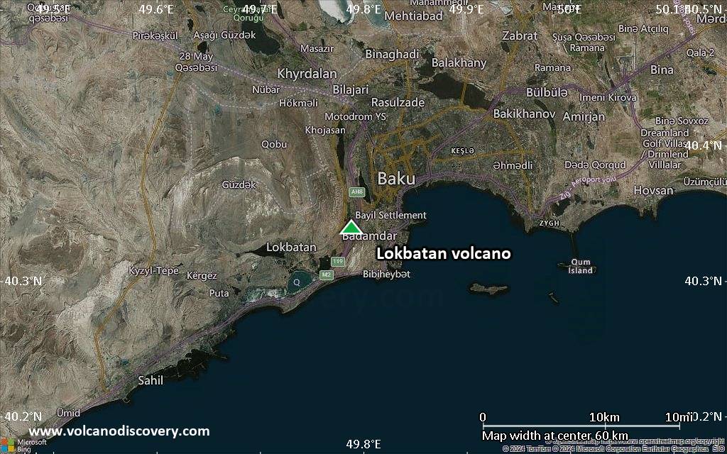
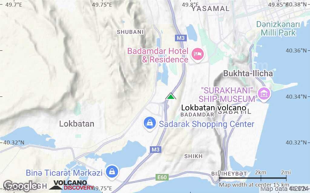
Satellite/aerial-type map of Lokbatan volcano (local scale large)
Terrain-type map of Lokbatan volcano (local scale large)
Satellite/aerial-type map of Lokbatan volcano (local scale medium)
Terrain-type map of Lokbatan volcano (local scale medium)
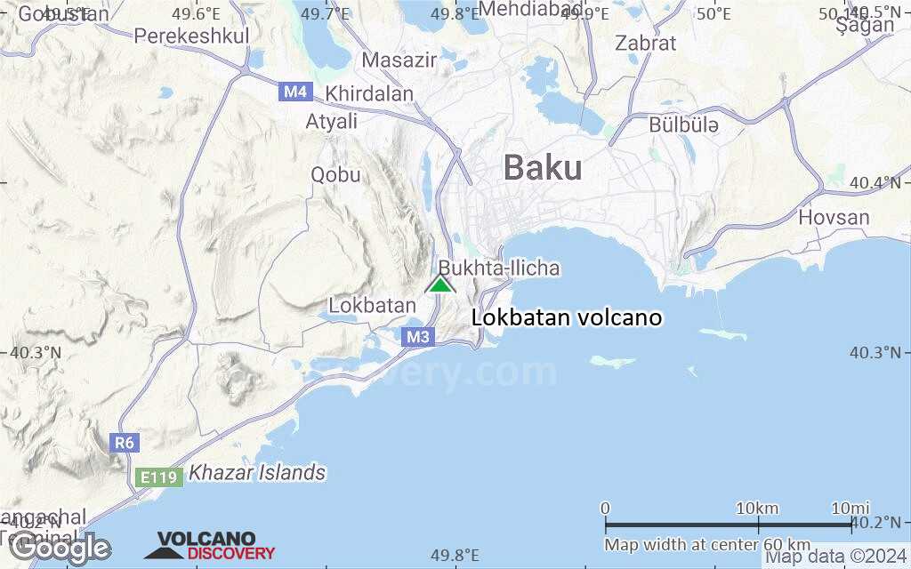
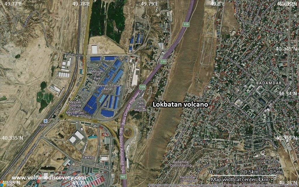
Satellite/aerial-type map of Lokbatan volcano (local scale small)

Terrain-type map of Lokbatan volcano (local scale small)
Satellite/aerial-type map of Lokbatan volcano (scale of 10s of km)
Terrain-type map of Lokbatan volcano (scale of 10s of km)
Satellite/aerial-type map of Lokbatan volcano (scale of 20-40 km)
Terrain-type map of Lokbatan volcano (scale of 20-40 km)

Satellite/aerial-type map of Lokbatan volcano (scale of approx. 10-20 km)
Terrain-type map of Lokbatan volcano (scale of approx. 10-20 km)
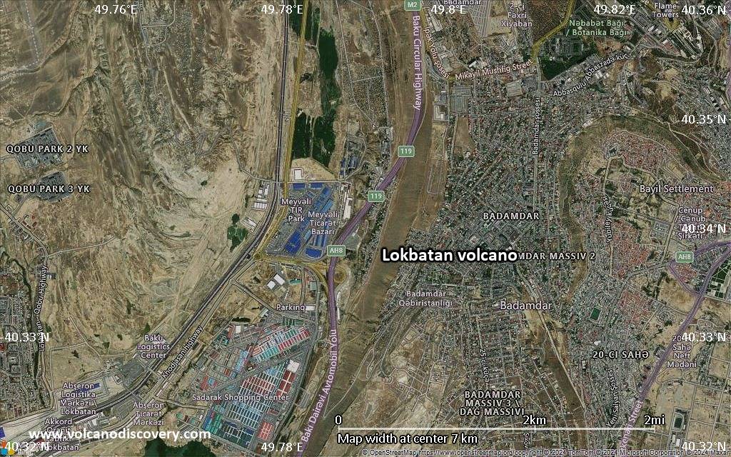
Satellite/aerial-type map of Lokbatan volcano (scale of 5-10 km)
Satellite/aerial-type map of Lokbatan volcano (scale of few kilometers)