Malindang Volcano
Updated: Jun 12, 2025 13:38 GMT -
stratovolcano
Mindanao (Philippines), 8.22°N / 123.63°E 
Summit height: 2404 m / 7,887 ft
Current status: normal or dormant (1 out of 5)
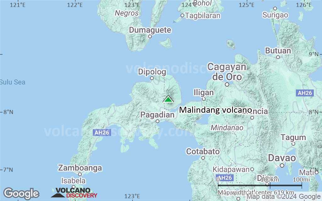
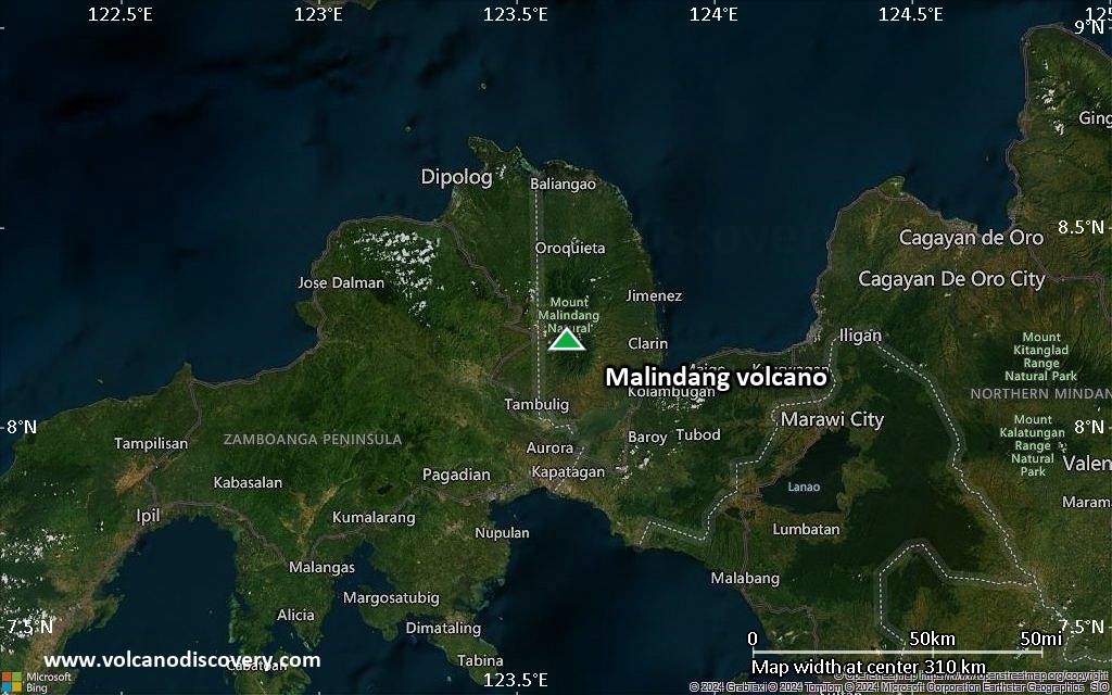
Malindang volcano is a stratovolcano on the western margin of Iligan Bay in north-central Mindanao Island, 20 km NE of Tambulig, Philippines. It is part of the Malindang National Park.
[smaller] [larger]
Malindang volcano eruptions: within the past 10,000 years
Latest nearby earthquakes
| Date and Time | Mag / Depth | Distance / Location | |||
|---|---|---|---|---|---|
| Jun 7, 05:46 am (Universal Time) | 2.0 1 km | 11 km (6.9 mi) to the S | Info | ||
Background
The basaltic to andesitic Malindang stratovolcano contains a small summit caldera. There are no known historic eruptions, but legends tell of a large eruption in the past.Eruptions of Malindang volcano
1991 earthquake and false eruption alarm
In 1991, a tectonic earthquake coincided with rumblings from a thunderstorm on the volcano and reports about volcanic activity spread rapidly, triggering a false eruption alarm and authorities started widespread evacuations. No eruption occurred, but a previously unknown geothermal area was discovered.
In 1991, a tectonic earthquake coincided with rumblings from a thunderstorm on the volcano and reports about volcanic activity spread rapidly, triggering a false eruption alarm and authorities started widespread evacuations. No eruption occurred, but a previously unknown geothermal area was discovered.
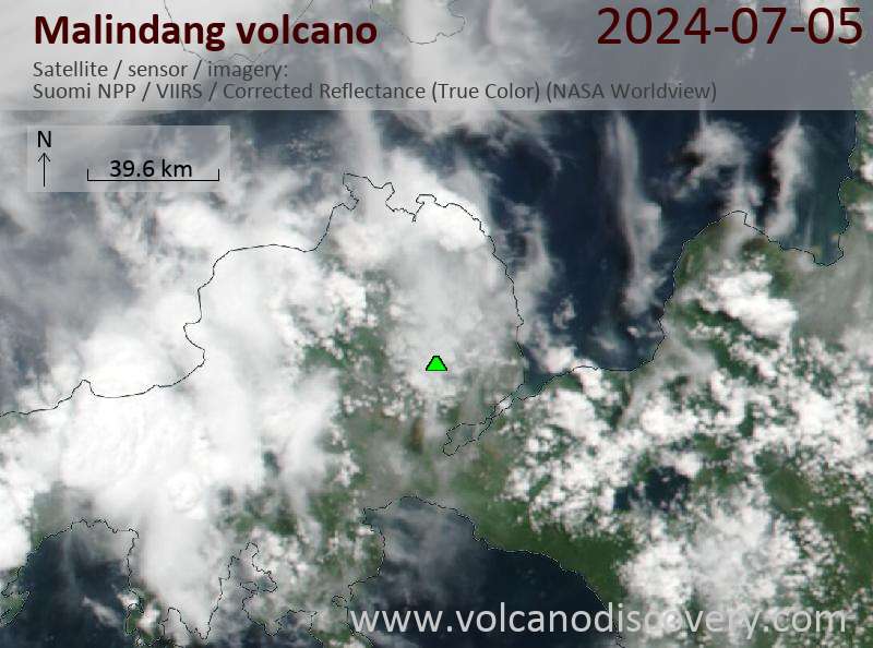
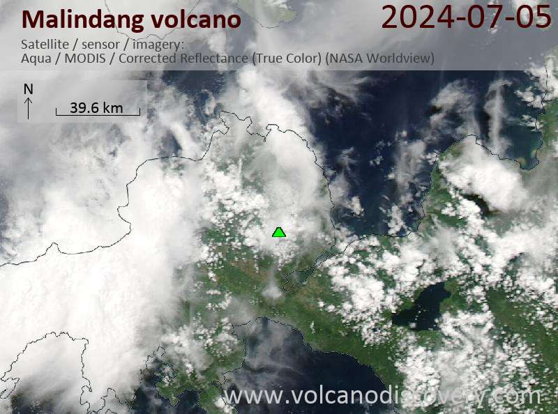
Latest satellite images
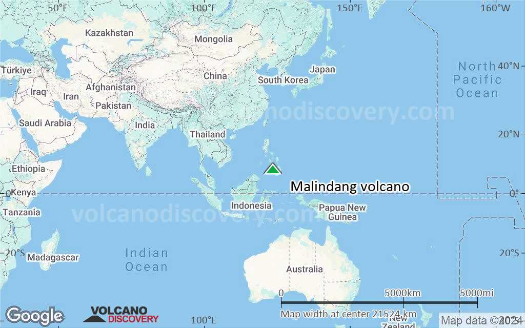
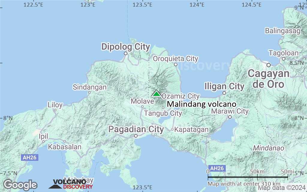
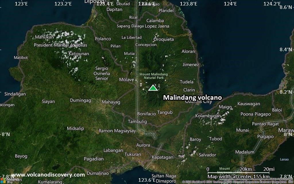
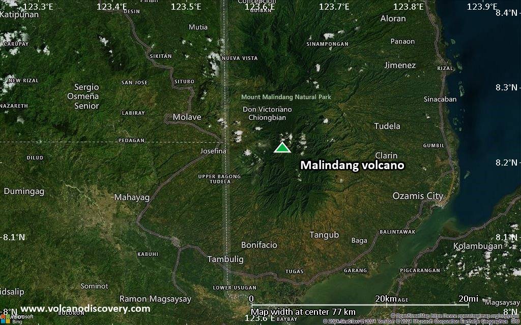
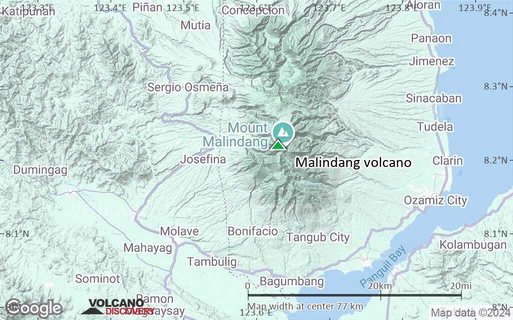
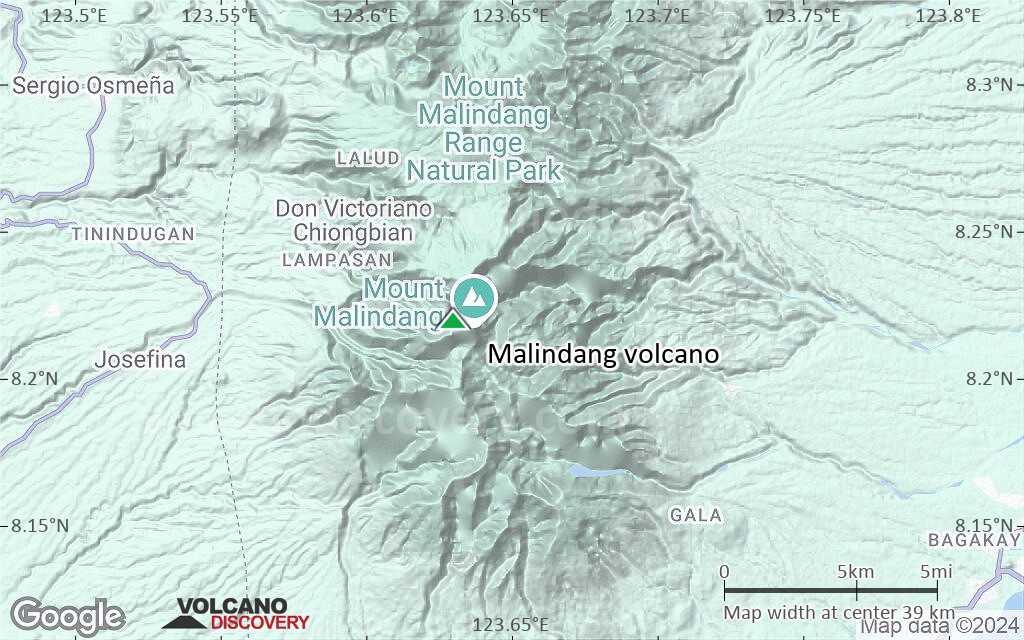
Malindang Volcano Maps
Below is a selection of maps showing the location and surroundings of the volcano at various resolutions based on aerial-imagery / terrain maps. Feel free to use them for non-commercial purposes on your blog or website as long as you credit them with a link back to this page (click to copy it).

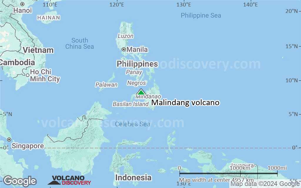
Satellite/aerial-type map of Malindang volcano (world scale)
Terrain-type map of Malindang volcano (world scale)

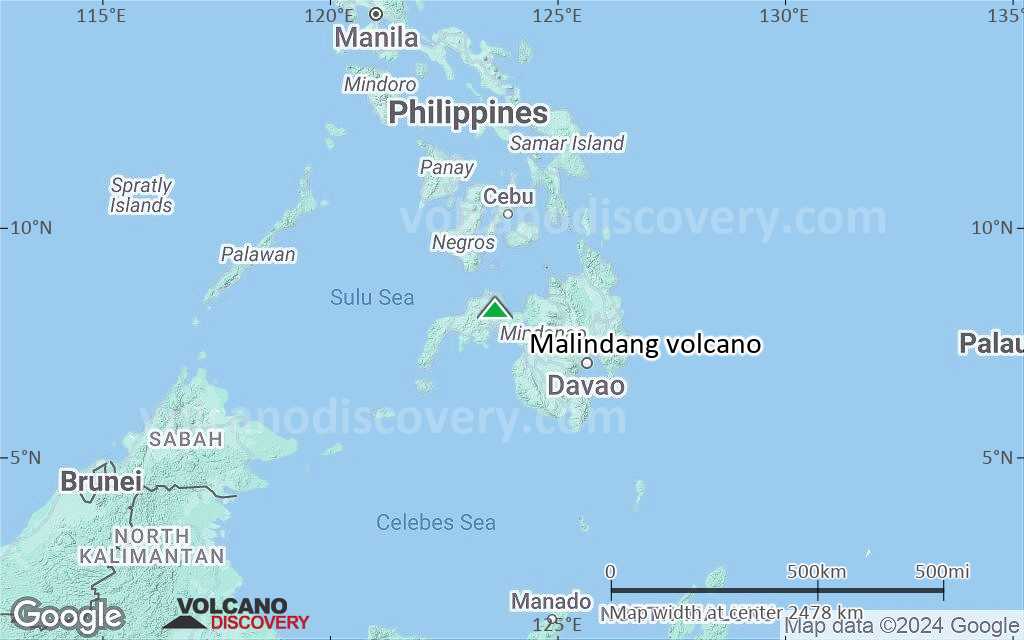
Satellite/aerial-type map of Malindang volcano (region scale large)
Terrain-type map of Malindang volcano (region scale large)

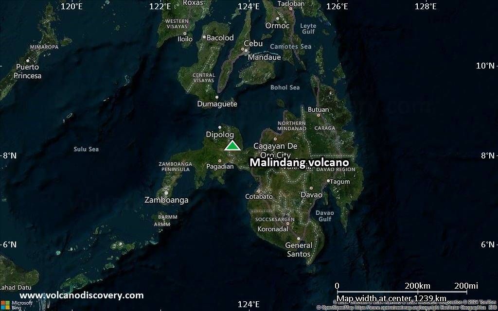
Satellite/aerial-type map of Malindang volcano (region scale medium)
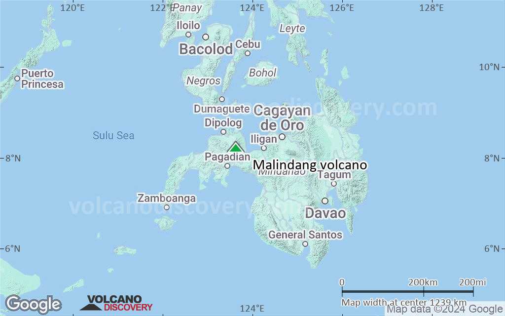
Terrain-type map of Malindang volcano (region scale medium)
Satellite/aerial-type map of Malindang volcano (region scale small)
Terrain-type map of Malindang volcano (region scale small)

Satellite/aerial-type map of Malindang volcano (local scale large)
Terrain-type map of Malindang volcano (local scale large)
Satellite/aerial-type map of Malindang volcano (local scale medium)
Terrain-type map of Malindang volcano (local scale medium)
Satellite/aerial-type map of Malindang volcano (local scale small)

Terrain-type map of Malindang volcano (local scale small)
Satellite/aerial-type map of Malindang volcano (scale of 10s of km)
Terrain-type map of Malindang volcano (scale of 10s of km)

Satellite/aerial-type map of Malindang volcano (scale of 20-40 km)
Terrain-type map of Malindang volcano (scale of 20-40 km)
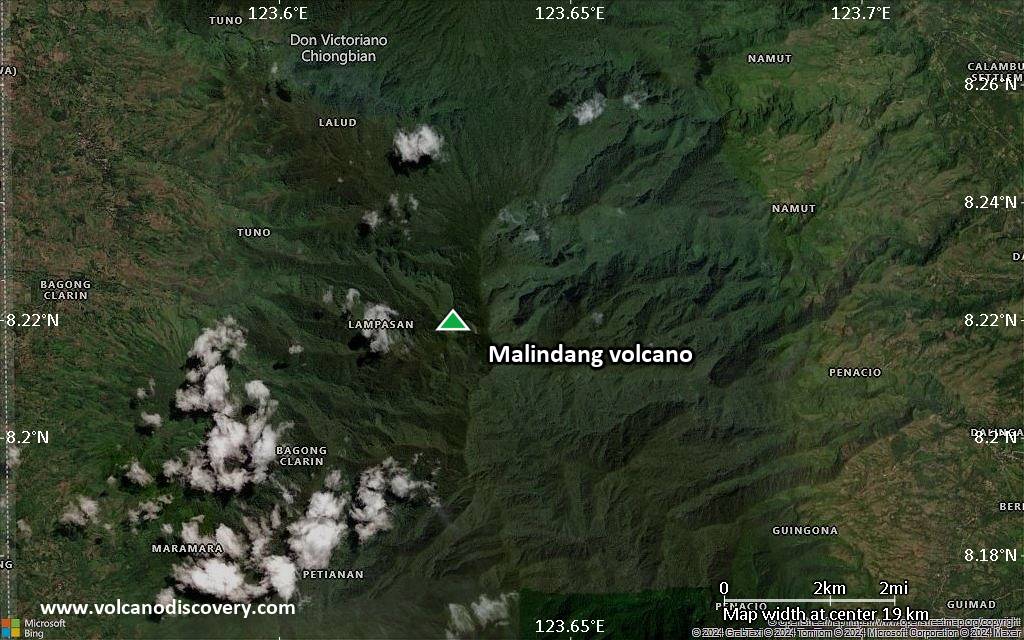
Satellite/aerial-type map of Malindang volcano (scale of approx. 10-20 km)

Terrain-type map of Malindang volcano (scale of approx. 10-20 km)

Satellite/aerial-type map of Malindang volcano (scale of 5-10 km)
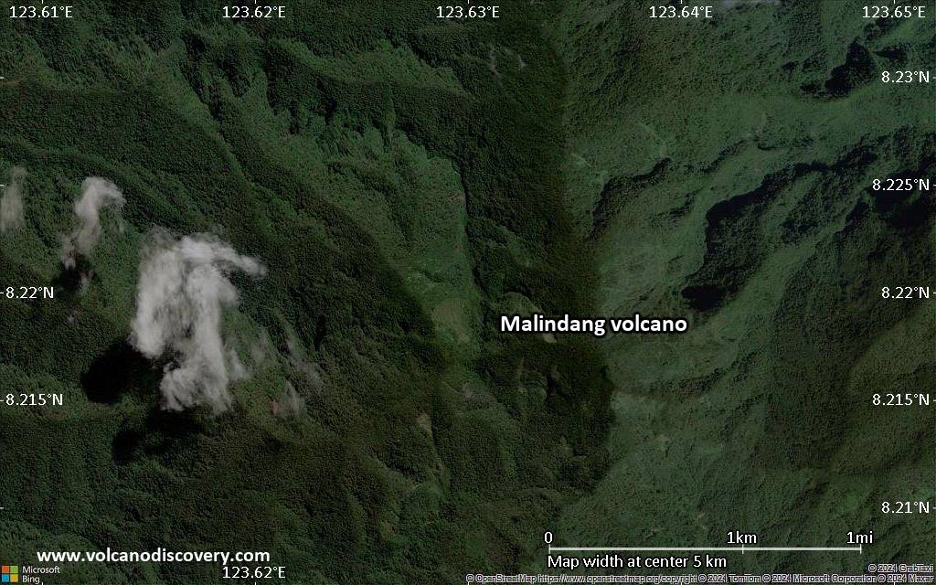
Satellite/aerial-type map of Malindang volcano (scale of few kilometers)