Malindig Volcano
Updated: May 1, 2025 16:01 GMT -
stratovolcano
Luzon Island (Philippines), 13.24°N / 122.02°E 
Summit height: 1157 m / 3,796 ft
Current status: (probably) extinct (0 out of 5)
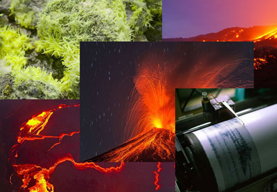
Malindig volcano (also known as Marlanga), is an andesitic stratovolcano at the southern tip of Marinduque Island, west of the Bondoc Peninsula on Luzon Island, Philippines.
The summit has sharp peaks. No recent eruptions have occurred at the volcano. Hot springs are active at its western base.
[smaller] [larger]
Malindig volcano eruptions: unknown
Latest nearby earthquakes
| Date and Time | Mag / Depth | Distance / Location | |||
|---|---|---|---|---|---|
Latest satellite images
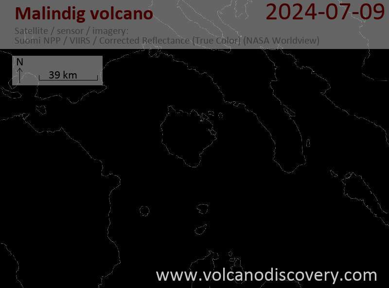

Malindig Volcano Maps
Below is a selection of maps showing the location and surroundings of the volcano at various resolutions based on aerial-imagery / terrain maps. Feel free to use them for non-commercial purposes on your blog or website as long as you credit them with a link back to this page (click to copy it).

Satellite/aerial-type map of Malindig volcano (world scale)

Terrain-type map of Malindig volcano (world scale)

Satellite/aerial-type map of Malindig volcano (region scale large)

Terrain-type map of Malindig volcano (region scale large)

Satellite/aerial-type map of Malindig volcano (region scale medium)

Terrain-type map of Malindig volcano (region scale medium)

Satellite/aerial-type map of Malindig volcano (region scale small)

Terrain-type map of Malindig volcano (region scale small)

Satellite/aerial-type map of Malindig volcano (local scale large)

Terrain-type map of Malindig volcano (local scale large)

Satellite/aerial-type map of Malindig volcano (local scale medium)

Terrain-type map of Malindig volcano (local scale medium)

Satellite/aerial-type map of Malindig volcano (local scale small)

Terrain-type map of Malindig volcano (local scale small)

Satellite/aerial-type map of Malindig volcano (scale of 10s of km)

Terrain-type map of Malindig volcano (scale of 10s of km)

Satellite/aerial-type map of Malindig volcano (scale of 20-40 km)

Terrain-type map of Malindig volcano (scale of 20-40 km)

Satellite/aerial-type map of Malindig volcano (scale of approx. 10-20 km)

Terrain-type map of Malindig volcano (scale of approx. 10-20 km)

Satellite/aerial-type map of Malindig volcano (scale of 5-10 km)

Satellite/aerial-type map of Malindig volcano (scale of few kilometers)