


Moffett Volcano
Updated: Oct 28, 2025 15:17 GMT -
Stratovolcano
United States, Aleutian Islands, 51.94°N / -176.75°W 
Summit height: 1196 m / 3,924 ft
Current status: normal or dormant (1 out of 5)
[smaller] [larger]
Moffett volcano eruptions: 1600 BC (?)
Latest nearby earthquakes
| Date and Time | Mag / Depth | Distance / Location | |||
|---|---|---|---|---|---|
| Oct 23, 09:00 pm (Adak) | 1.8 28 km | 15 km (9.1 mi) to the E | Info | ||
| Sunday, October 19, 2025 GMT (2 quakes) | |||||
| Oct 19, 12:36 pm (Adak) | 1.6 3.4 km | 15 km (9.1 mi) to the SW | Info | ||
| Oct 19, 01:55 am (Adak) | 1.4 8.6 km | 28 km (17 mi) to the W | Info | ||
| Saturday, October 18, 2025 GMT (1 quake) | |||||
| Oct 18, 04:39 am (Universal Time) | 0.9 5.3 km | 23 km (14 mi) to the W | Info | ||
Background
Rising above Adak, the largest town of the Aleutians, Mount Moffett is a modest-sized, eroded stratovolcano with several flank lava domes. The summit cone has been largely destroyed by glacial erosion, and has been filled by an andesitic plug dome. Five other lava domes are scattered over the flanks of the volcano. The south flank lava dome is one of the youngest features of the northern Adak Island volcanoes. The Heart Lake lava flow west of Sweeper Cove on the SE side of the volcano is another young volcanic feature. Several Holocene ash layers on Adak Island have been attributed to Moffett volcano. Its proximity to Adak Naval Air Station makes Mount Moffet one of the most accessible of the Aleutian volcanoes. Kiguga Warm Springs are located at Cape Kiguga, west of Mount Moffet, and the northern part of Adak Island has been investigated for geothermal power production.---
Smithsonian / GVP volcano information
Significant volcanic eruptions: Moffett volcano
No historic eruptions are known from Moffett volcano, but evidence from at least 3 eruptions during the past 10,000 years can be found in the geological record.
The table below lists all known eruptions (date in bold face) of Moffett volcano in historic times and during the past 10,000 years. Updates on the most recent volcanic activity of Moffett can be found on the news page of Moffett volcano.
| Date | Note | VEI | Deaths | Damage | |
|---|---|---|---|---|---|
| ? | |||||
| ? | |||||
| ? | |||||
Remark:
Our list of volcanic eruptions closely follows the database of eruptions of the Smithsonian's Global Volcanism Project (GVP), the internationally most recognized data source for volcanic eruptions, but also includes significant eruptive episodes or related volcano events. "Volcanic eruptions" are usually to be understood as sequences of individual eruptive episodes that can follow each other, or even overlap (if several vents are involved), and can last many years, decades or even longer. For example, the current activity of Stromboli volcano is understood as a single eruption that has been ongoing since 1934.
Sources: NOAA National Centers for Environmental Information (NCEI), Global Significant Volcanic Eruptions Database. doi:10.7289/V5TD9V7K | Global Volcanism Project / Smithsonian Institution
Moffett Volcano FAQ
+When was the last eruption of Moffett volcano?
The last confirmed eruption of Moffett occurred in 1600 BC.
Latest satellite images

Moffett Volcano Maps
Below is a selection of maps showing the location and surroundings of the volcano at various resolutions based on aerial-imagery / terrain maps. Feel free to use them for non-commercial purposes on your blog or website as long as you credit them with a link back to this page (click to copy it).
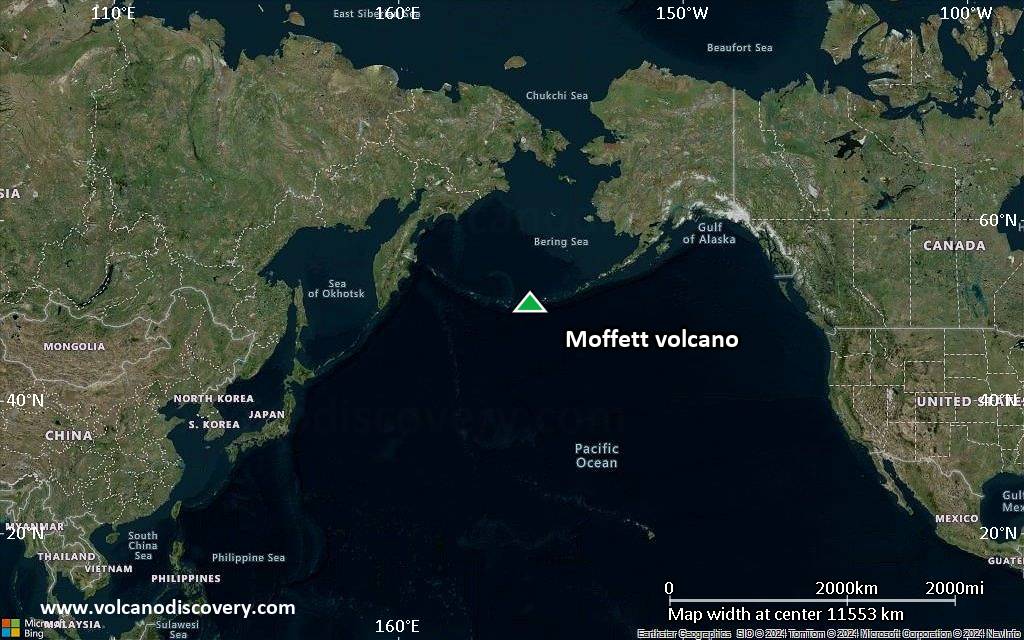
Satellite/aerial-type map of Moffett volcano (world scale)

Terrain-type map of Moffett volcano (world scale)
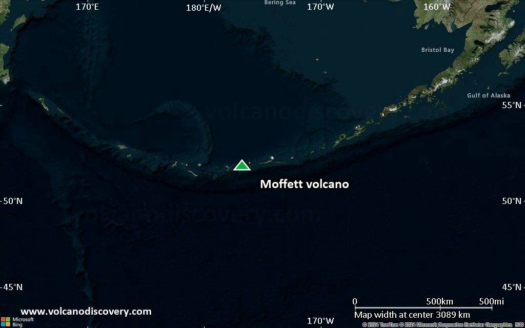
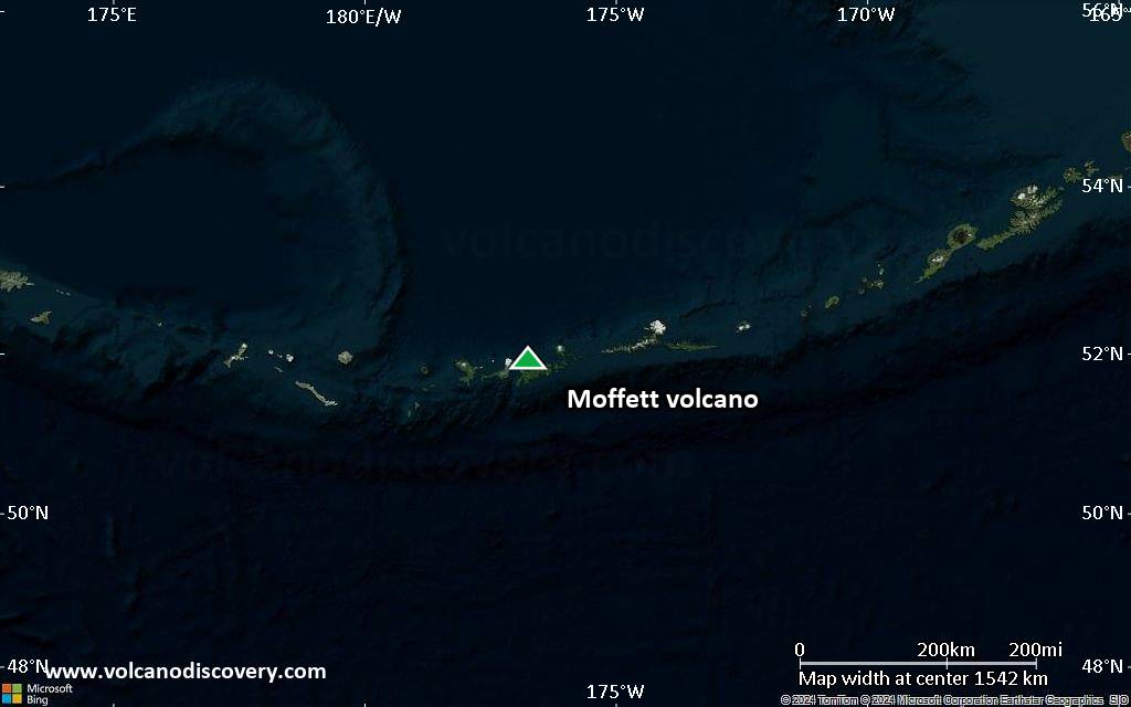
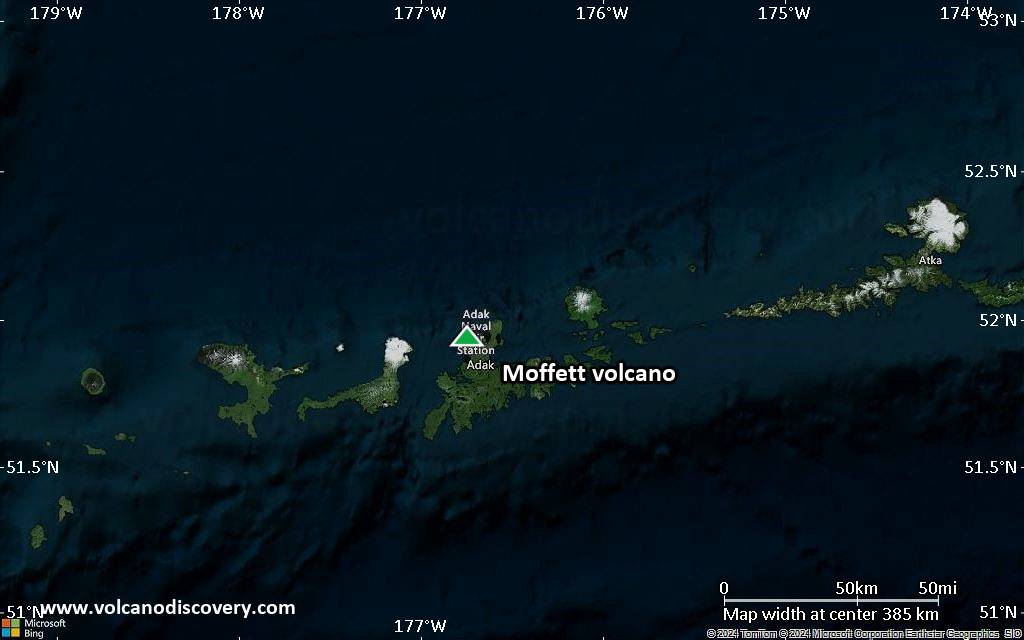
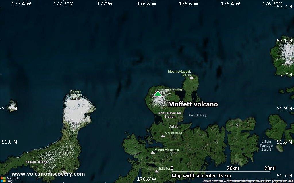
Satellite/aerial-type map of Moffett volcano (region scale large)
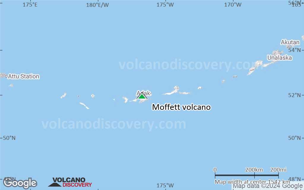
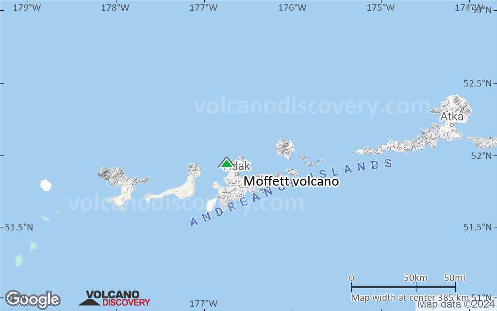
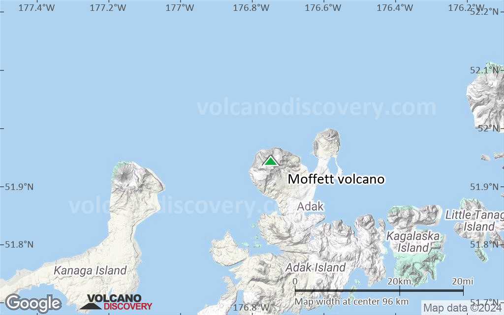
Terrain-type map of Moffett volcano (region scale large)
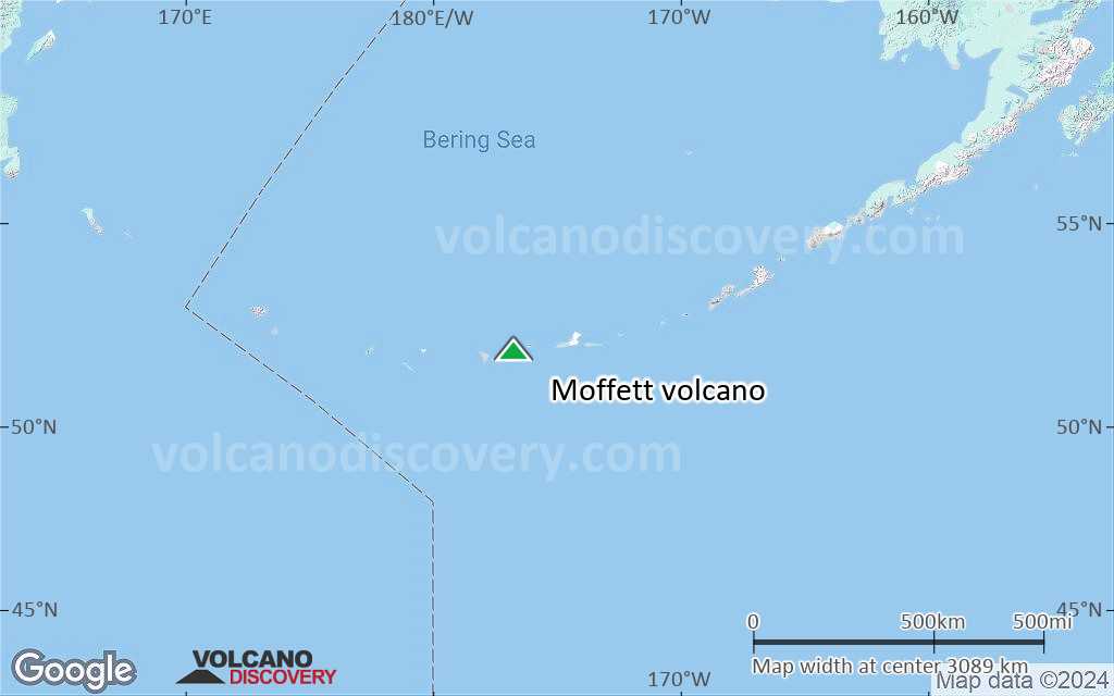
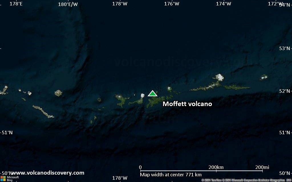
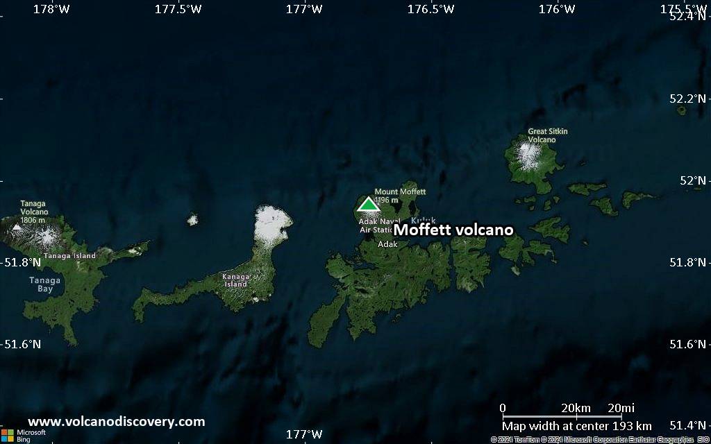
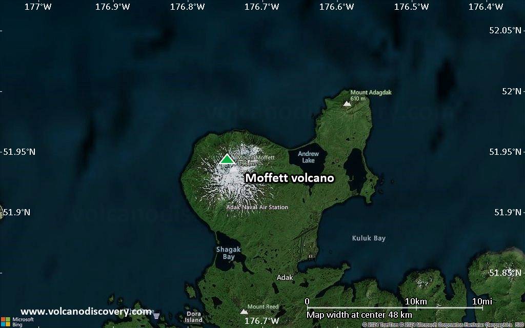
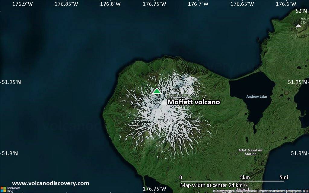
Satellite/aerial-type map of Moffett volcano (region scale medium)
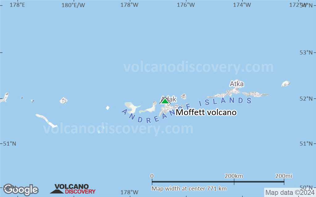
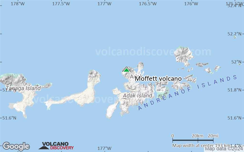
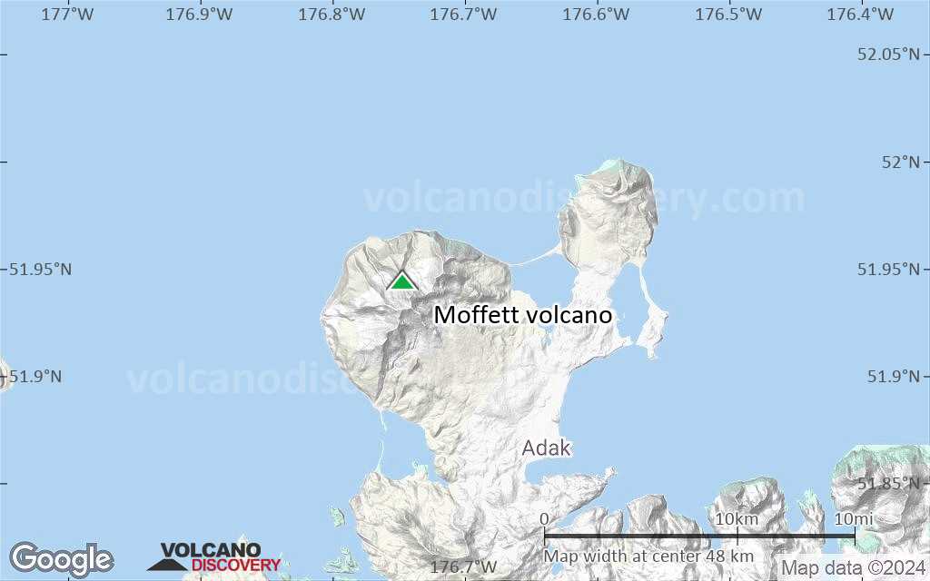
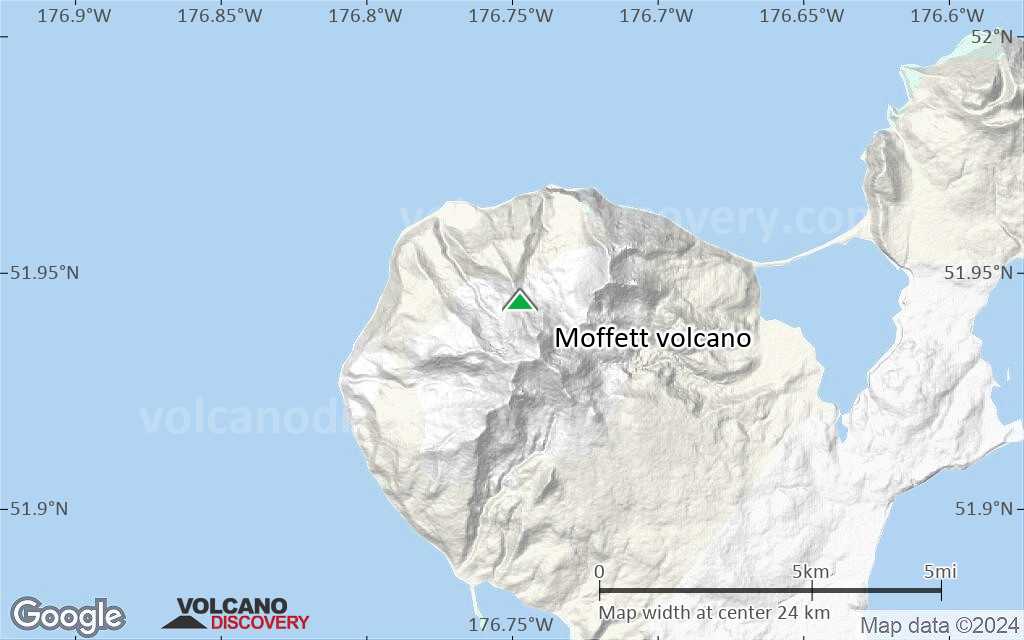
Terrain-type map of Moffett volcano (region scale medium)
Satellite/aerial-type map of Moffett volcano (region scale small)
Terrain-type map of Moffett volcano (region scale small)
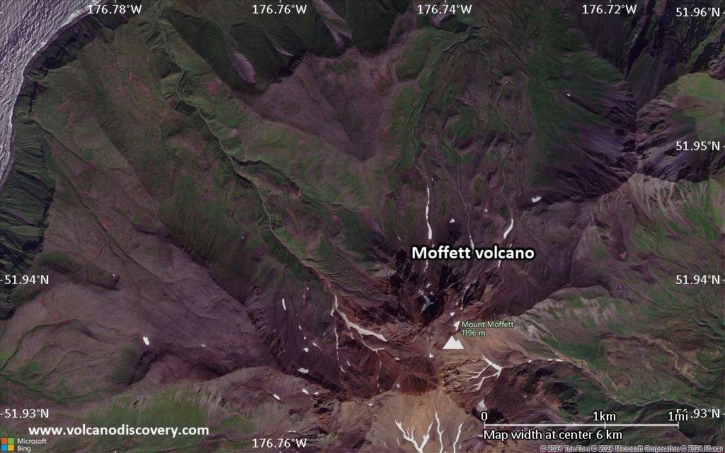
Satellite/aerial-type map of Moffett volcano (local scale large)
Terrain-type map of Moffett volcano (local scale large)
Satellite/aerial-type map of Moffett volcano (local scale medium)
Terrain-type map of Moffett volcano (local scale medium)
Satellite/aerial-type map of Moffett volcano (local scale small)
Terrain-type map of Moffett volcano (local scale small)
Satellite/aerial-type map of Moffett volcano (scale of 10s of km)
Terrain-type map of Moffett volcano (scale of 10s of km)
Satellite/aerial-type map of Moffett volcano (scale of 20-40 km)
Terrain-type map of Moffett volcano (scale of 20-40 km)

Satellite/aerial-type map of Moffett volcano (scale of approx. 10-20 km)

Terrain-type map of Moffett volcano (scale of approx. 10-20 km)
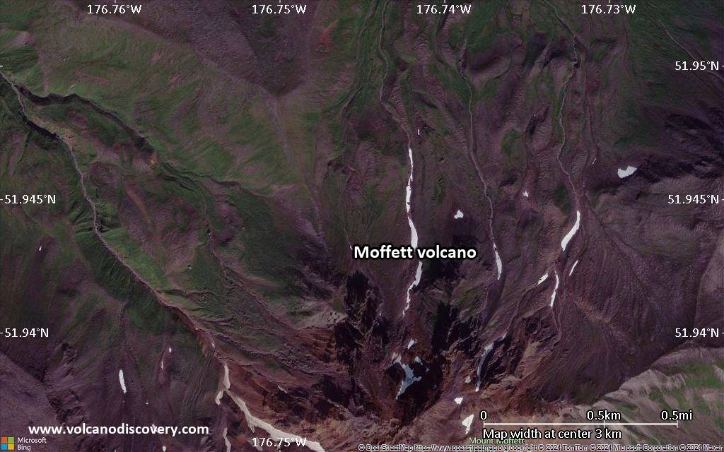
Satellite/aerial-type map of Moffett volcano (scale of 5-10 km)
Satellite/aerial-type map of Moffett volcano (scale of few kilometers)


