Mojanda Volcano
Updated: May 25, 2025 13:52 GMT -
stratovolcano
Ecuador, 0.13°N / -78.27°W 
Summit height: 4263 m / 13,986 ft
Current status: normal or dormant (1 out of 5)
Volcán Mojanda is one of the largest volcanoes of Ecuador's northern Interandean Depression. It is located SW of the historic town of Otavalo. It is a twin volcano and consists of 2 neighboring active stratovolcanoes (Mojanda and Fuya Fuya).
Large-scale debris avalanches have occurred at both volcanoes.
[smaller] [larger]
Mojanda volcano eruptions: none in recent times
Latest nearby earthquakes
| Date and Time | Mag / Depth | Distance / Location | |||
|---|---|---|---|---|---|
Background
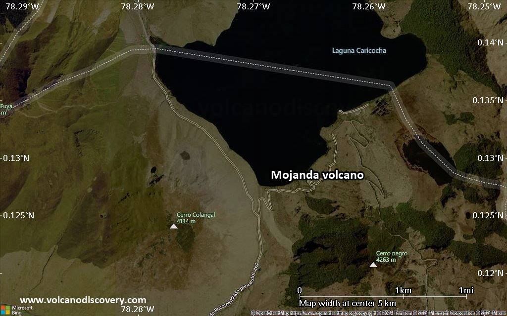
Volcán Mojanda's geologic history is complex:Remnants of an earlier stratovolcano edifice composed of andesitic lava flows underlies the present-day Mojanda edifice. The earlier volcano collapsed leaving a caldera, inside which a new smaller andesitic stratovolcano, Mojanda, was built. Mojanda consists mainly of basic andesite lava flows, scoria flow deposits and a thick summit series of vitric breccias. Mojanda's summit cone was destroyed by phreatoplinian eruptions which left a small summit caldera, containing 2 lakes.
The andesitic-to-rhyolitic Fuya Fuya volcano was constructed contemporaneously with Mojanda immediately to the west. Fuya Fuya had 2 major rhyolitic plinian eruptions, which might have been associated with the formation of a caldera, which occurred less than 165,000 years ago and left a large horseshoe-shaped caldera open to the west.
This collapse can be compared to Mount St. Helens 1980 debris avalanche. It removed a large part of Fuya Fuya and the western part of Mojanda volcano. The resulting avalanche was accompanied by large pyroclastic flows.
After this event, Fuya Fuya entered a more effusive eruptive phase and built a new cone and dacitic lava domes inside its caldera, including the San Bartolo cone. The youngest domes of Fuya Fuya are unglaciated and could be loess than 10,000 years old.
Sources:
- Smithsonian / GVP volcano information
- Robin et al (2009) "Evolution of the late Pleistocene Mojanda–Fuya Fuya volcanic complex (Ecuador), by progressive adakitic involvement in mantle magma sources", Bull Volc., Volume 71, Number 3, 233-25
Latest satellite images
Mojanda Volcano Maps
Below is a selection of maps showing the location and surroundings of the volcano at various resolutions based on aerial-imagery / terrain maps. Feel free to use them for non-commercial purposes on your blog or website as long as you credit them with a link back to this page (click to copy it).
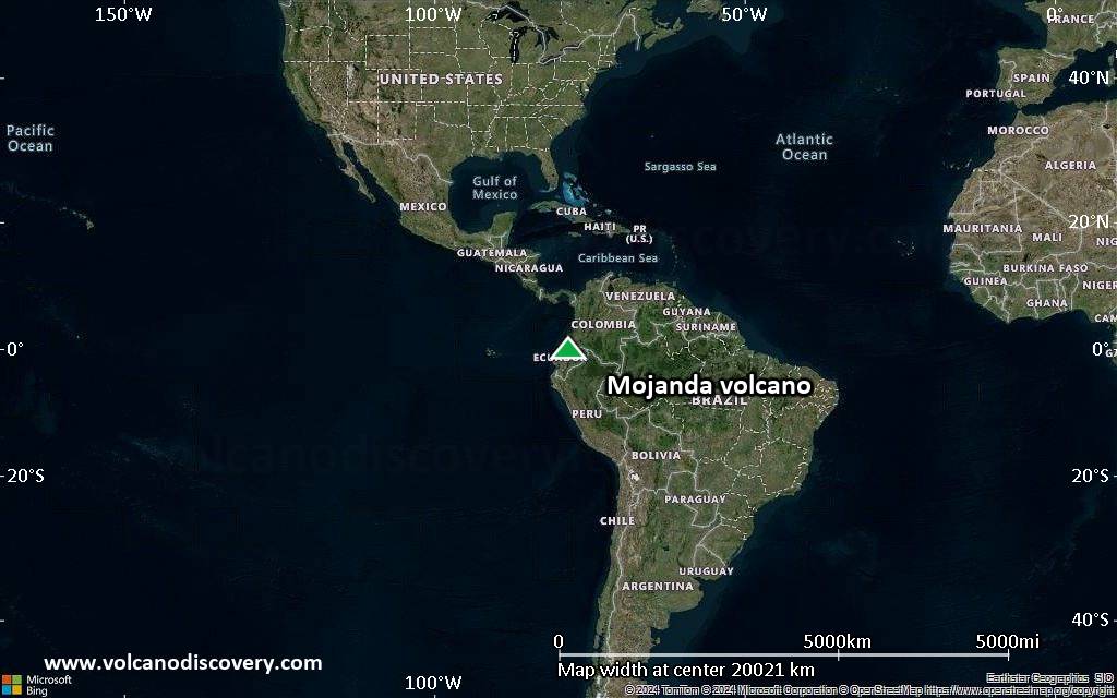
Satellite/aerial-type map of Mojanda volcano (world scale)
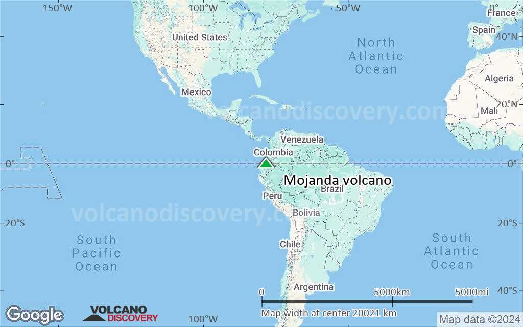
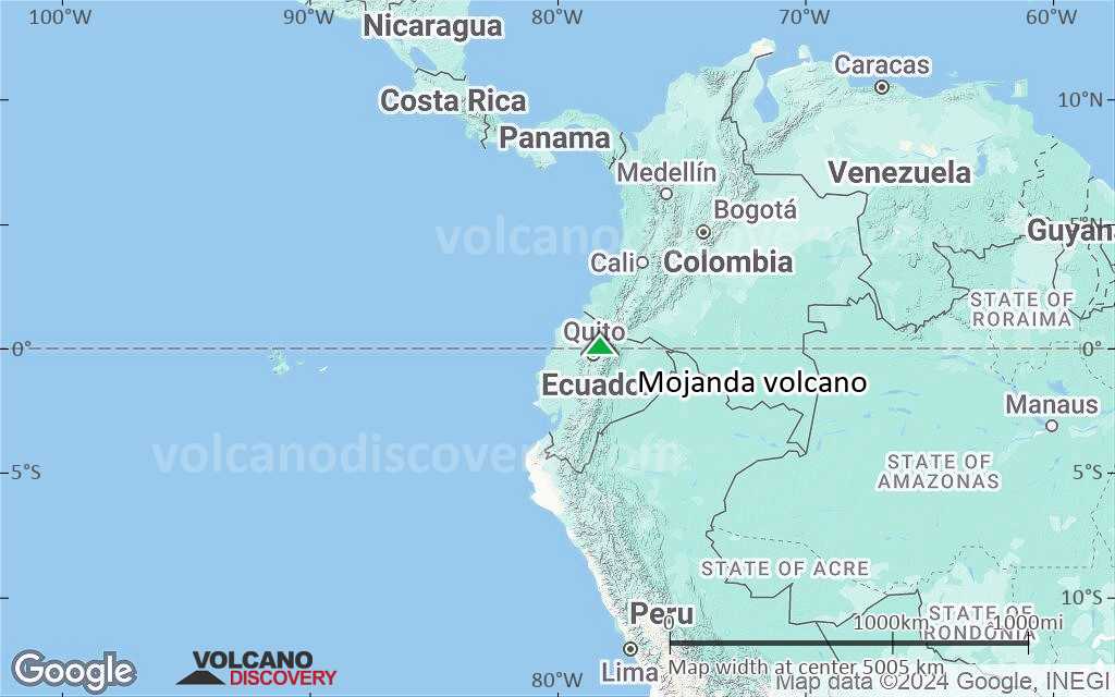
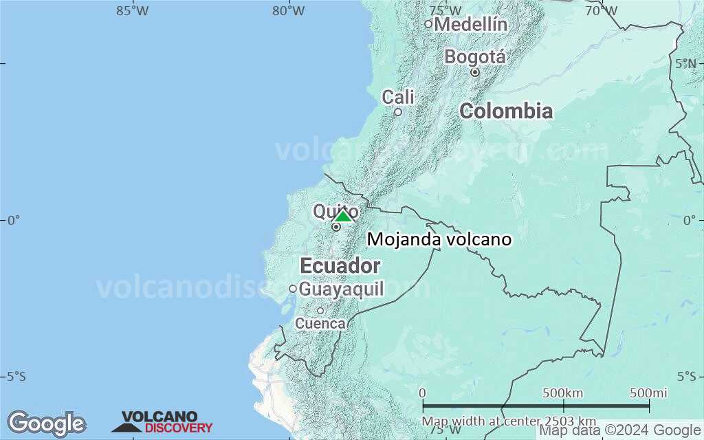
Terrain-type map of Mojanda volcano (world scale)
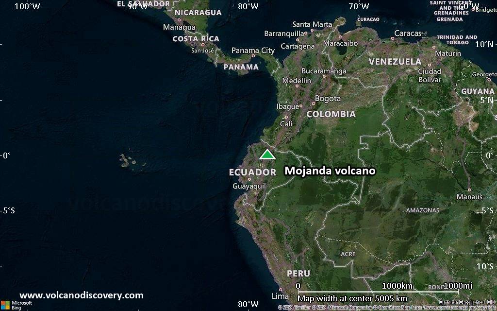
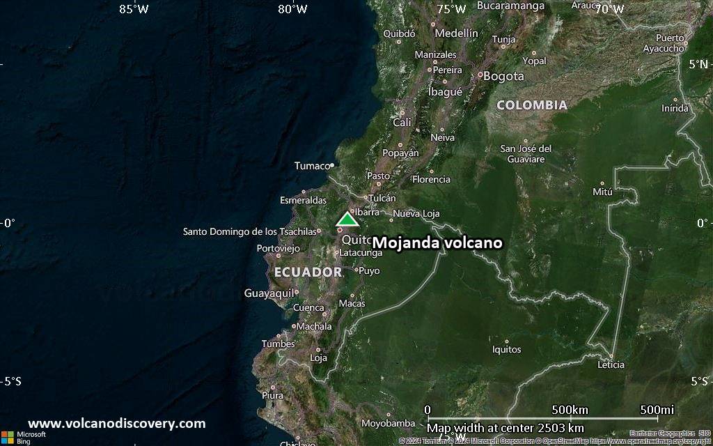
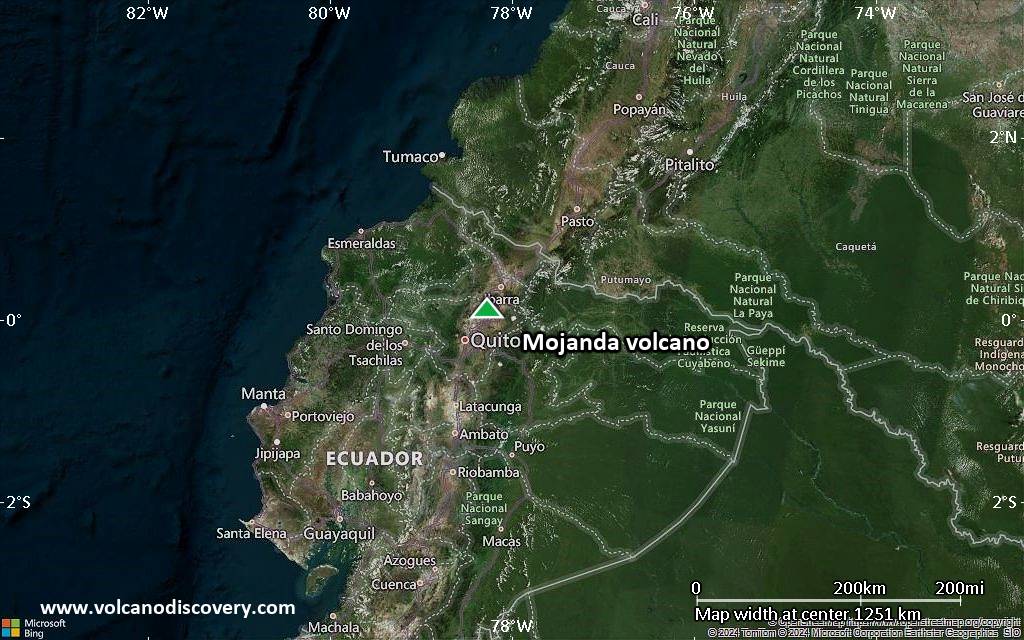
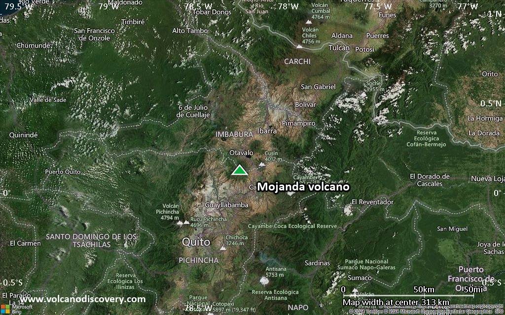
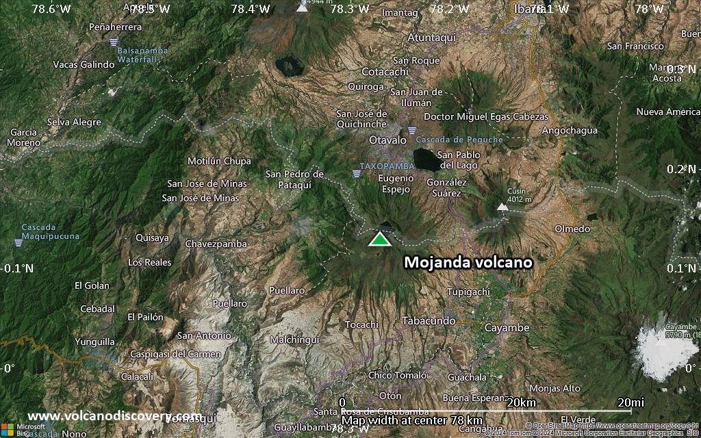
Satellite/aerial-type map of Mojanda volcano (region scale large)
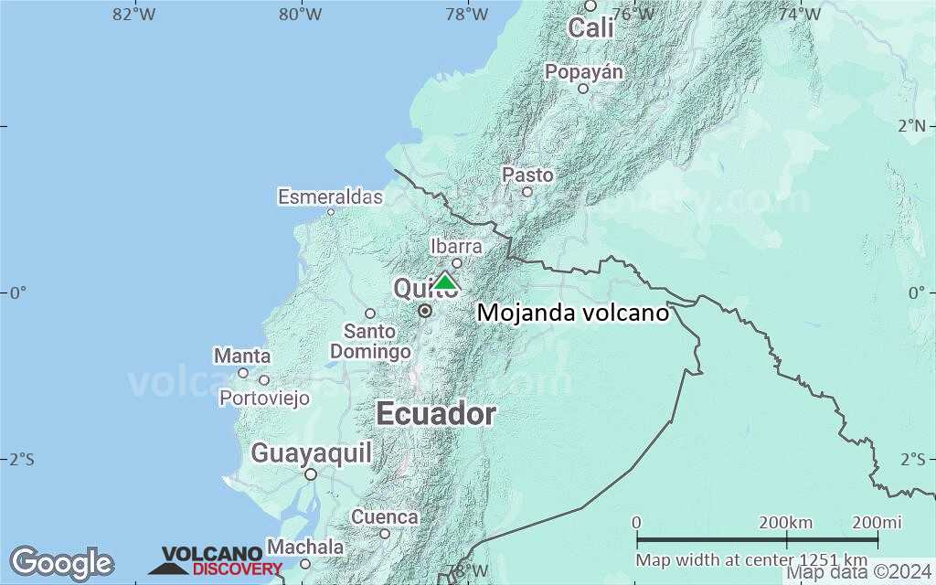
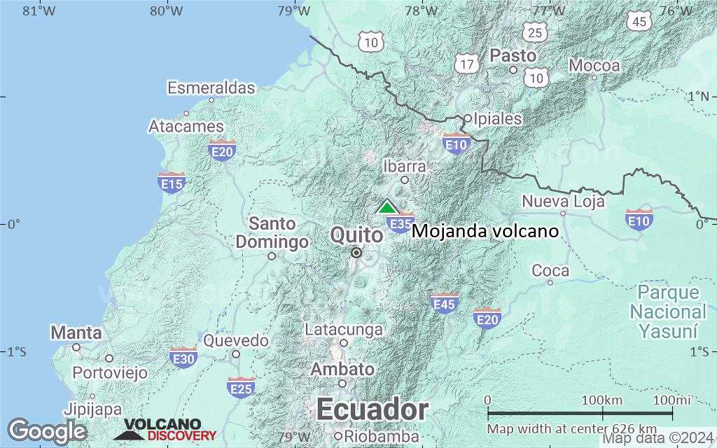
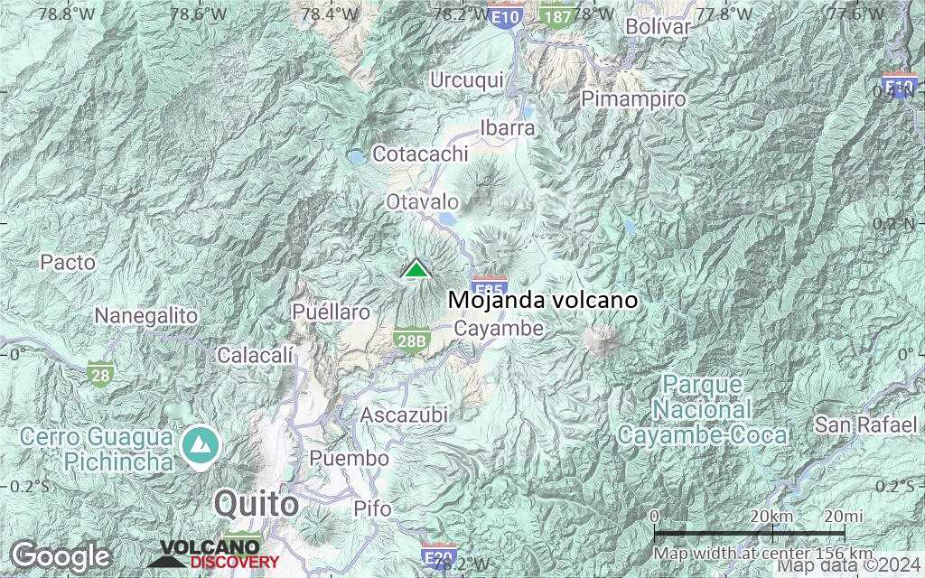
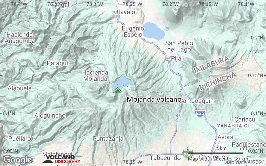
Terrain-type map of Mojanda volcano (region scale large)
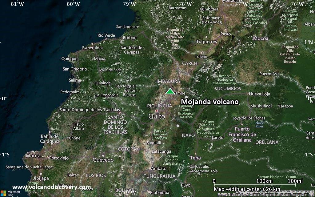
Satellite/aerial-type map of Mojanda volcano (region scale medium)
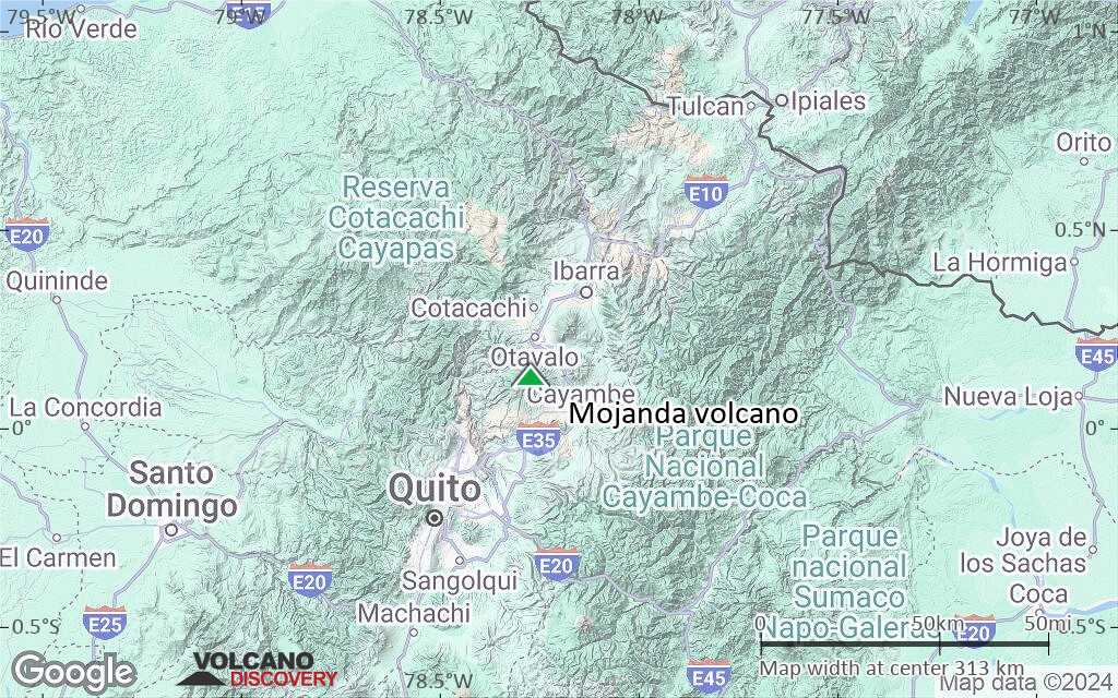
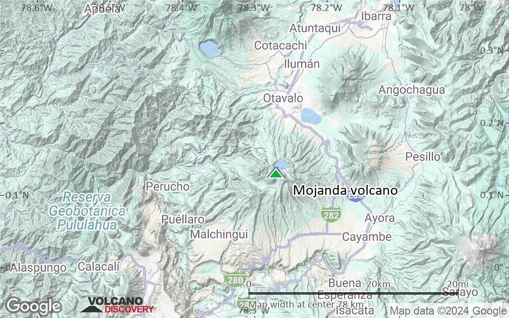
Terrain-type map of Mojanda volcano (region scale medium)
Satellite/aerial-type map of Mojanda volcano (region scale small)
Terrain-type map of Mojanda volcano (region scale small)
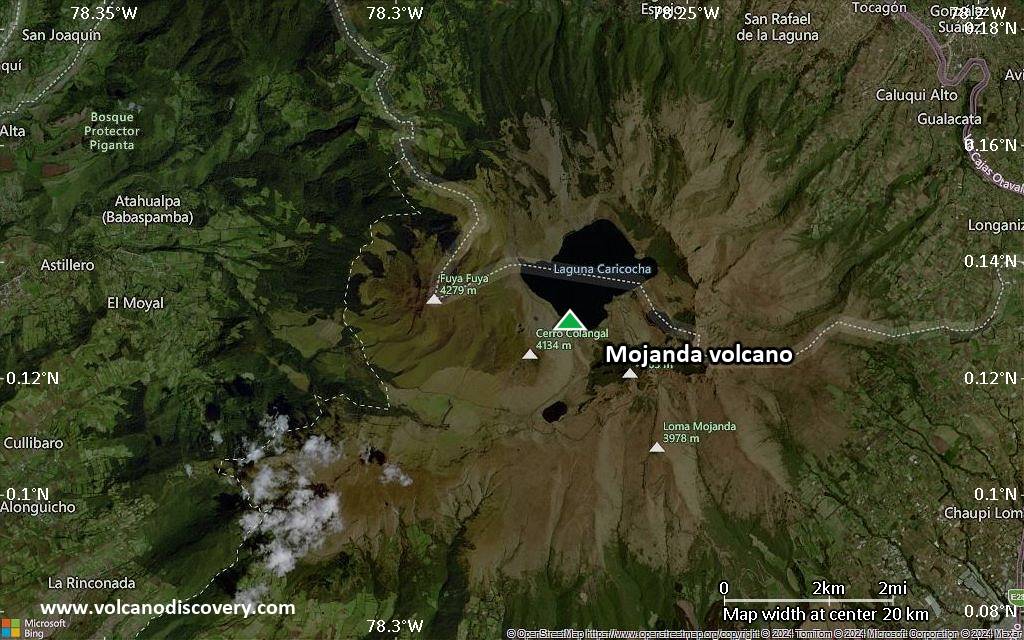
Satellite/aerial-type map of Mojanda volcano (local scale large)
Terrain-type map of Mojanda volcano (local scale large)
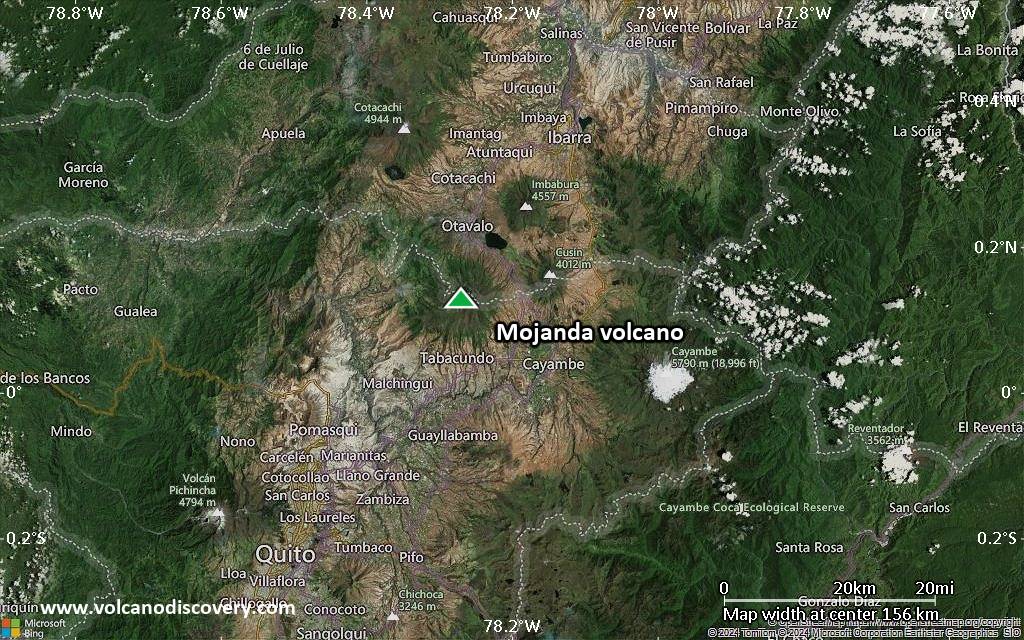
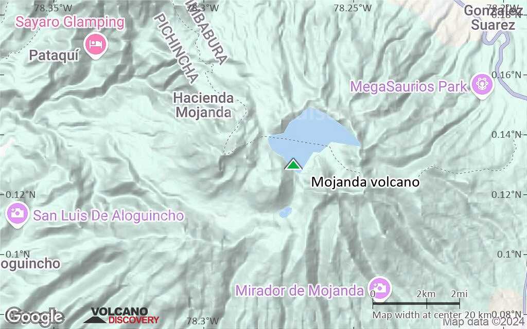
Satellite/aerial-type map of Mojanda volcano (local scale medium)
Terrain-type map of Mojanda volcano (local scale medium)
Satellite/aerial-type map of Mojanda volcano (local scale small)
Terrain-type map of Mojanda volcano (local scale small)
Satellite/aerial-type map of Mojanda volcano (scale of 10s of km)
Terrain-type map of Mojanda volcano (scale of 10s of km)
Satellite/aerial-type map of Mojanda volcano (scale of 20-40 km)
Terrain-type map of Mojanda volcano (scale of 20-40 km)
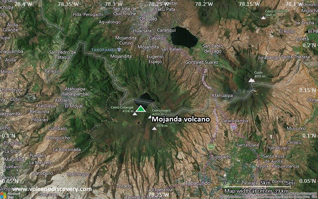
Satellite/aerial-type map of Mojanda volcano (scale of approx. 10-20 km)
Terrain-type map of Mojanda volcano (scale of approx. 10-20 km)
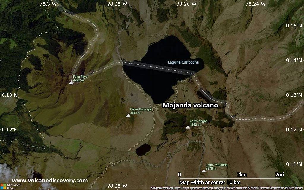
Satellite/aerial-type map of Mojanda volcano (scale of 5-10 km)
Satellite/aerial-type map of Mojanda volcano (scale of few kilometers)